Število destinacij: 9
Destinacije
The tourist regions in Kolumbija, each with its towns: things to do, when to go and how to get there.
Prikaži destinacije
 Išči
 Brazilija
 Antarktika
 Argentina
 Bolivija
 ČileKolumbija
 Ekvator
 Gvajana
 Francoska Gvajana
 Falklandski otoki (Malvini)
 Paragvaj
 Peru
 Surinam
 Urugvaj
 Venezuela
 Nemčija
 Avstrija
 Belgija
 Hrvaška
 Danska
 Slovaška
 Slovenija
 Španija
 Finska
 Francija
 Grčija
 Nizozemska
 Madžarska
 Irska
 Islandija
 Italija
 Luksemburg
 Norveška
 Poljska
 Portugalska
 Združeno kraljestvo
 Češka
 Švedska
 Švica
 Turčija
 Bermudi
 Kanada
 Združene države Amerike
 Grenlandija
 Mehika
 Sveta Peter in Mihael
 Dominikanska republika
 JaponskaTurčija
 Južnoafriška republika
 Egipt
 Avstralija
 Fidži
 Nova Zelandija
 Papua Nova Gvineja
Routes, destinations and cities in Kolumbija, with things to do, when to go and how to get there.
9 destinacije 12 departmaji 14 mesta
V celotnem vodniku Cidade Turismo: 53 države · 78 poti · 924 destinacije · 2.210 mesta
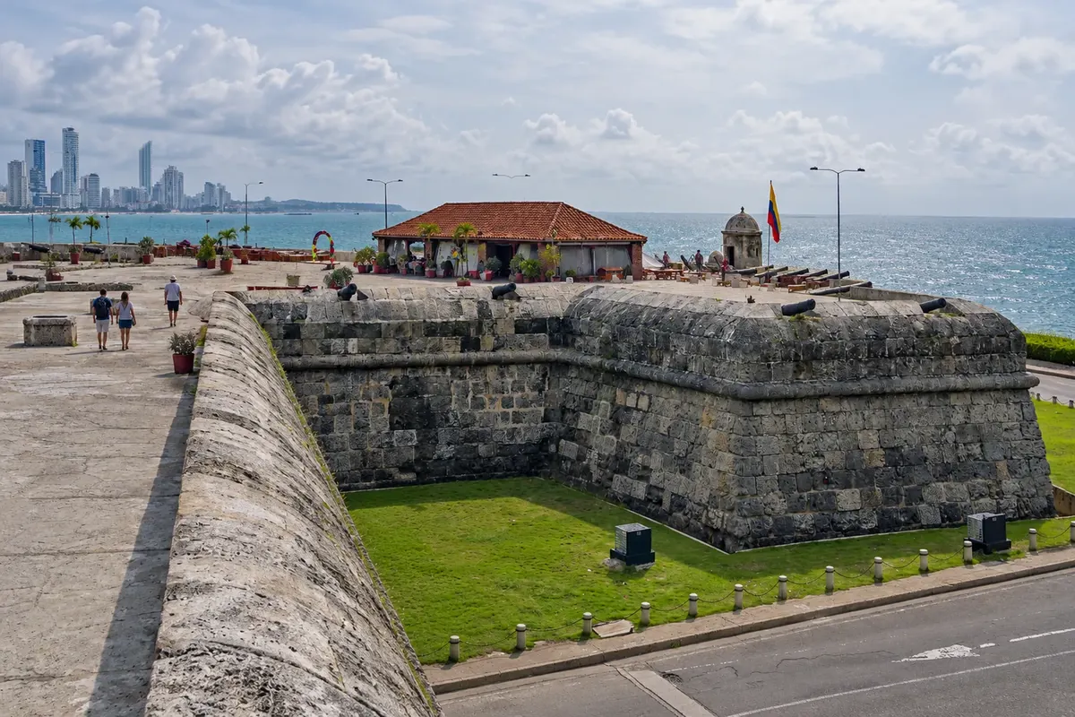
Na fotografiji: Walled City — Cartagena
Illustrative images. The pictures in this guide are illustrations based on the real place, not photographs, and may differ from it.
Vodnik
The walls of Cartagena, the sea of San Andrés, the farms of the Coffee Axis, the neighborhoods of Medellín and Bogotá at over 2,600 meters altitude. Near the Equator, the climate changes more with altitude than with the calendar. Choose where to start: each destination shows what to do, the best time to go and how to get there.
The guide has three ways in, so you can start wherever you like: routes, which link towns along one journey; destinations, which are the tourist regions; and the departmaji, with the main cities in each one.
The texts are written from official tourism sources, such as national and regional tourism offices, national parks and city halls, and new cities and routes keep being added to the guide.
Število destinacij: 9
The tourist regions in Kolumbija, each with its towns: things to do, when to go and how to get there.
Prikaži destinacije14 cities in 12 departmaji
The guide by departma: each one with its destinations, cities and routes, and each city with its attractions.
See departmaji and citiesZemljevid
Za prikaz imen se dotaknite regije. Z dvema prstoma povečajte zemljevid.
Obrisi: Natural Earth (javna domena). Priredba: Cidade Turismo.
Za začetek
Šest mest iz vodnika, vsak dan nov izbor.
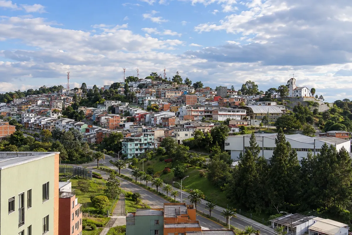
Manizales is the capital of Caldas, founded in 1849 by Antioquian settlers on a mountain ridge about 2,150 meters above sea level. The streets climb and descend the slopes around the Plaza de Bolívar and the concrete cathedral, whose tower exceeds 100 meters. At the end of the day, the viewpoints in the Chipre neighborhood show the sun setting over the mountain ranges. Around the city are coffee farms and the Recinto del Pensamiento.
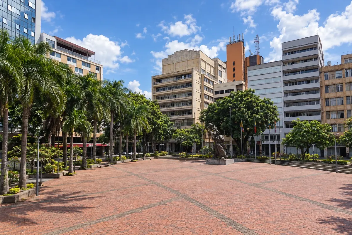
Pereira is the capital of Risaralda and the main gateway to the Coffee Axis, at about 1,400 meters altitude, with a mild to warm climate. The center revolves around the Plaza de Bolívar, featuring the Bolívar Desnudo and the cathedral with a wooden roof. From the city you can reach the Termales de Santa Rosa de Cabal (about 30 km) and the Parque del Café in Montenegro. Salento and Filandia are about an hour away.
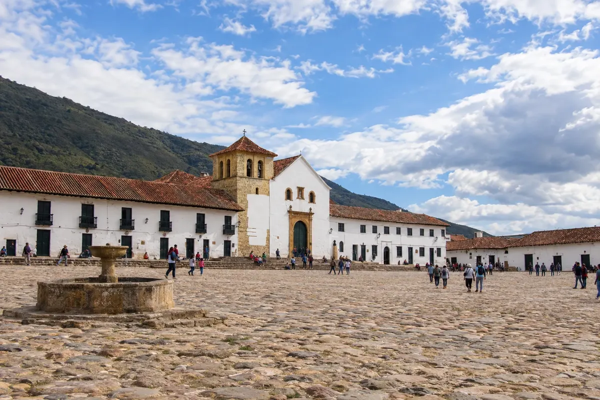
Villa de Leyva is a colonial town in Boyacá, founded in 1572, at about 2,100 meters altitude. The Plaza Mayor, made of stone and about 14,000 square meters, is surrounded by white houses with wooden balconies and by the church of Nossa Senhora do Rosário, from 1604. On the surrounding streets are the Museo del Carmen, of religious art, and house-museums. The surroundings, which were once seabed, contain fossils, the El Fósil museum, the muisca observatory El Infiernito, the Pozos Azules, the convent of Ecce Homo and Ráquira, the pottery village.
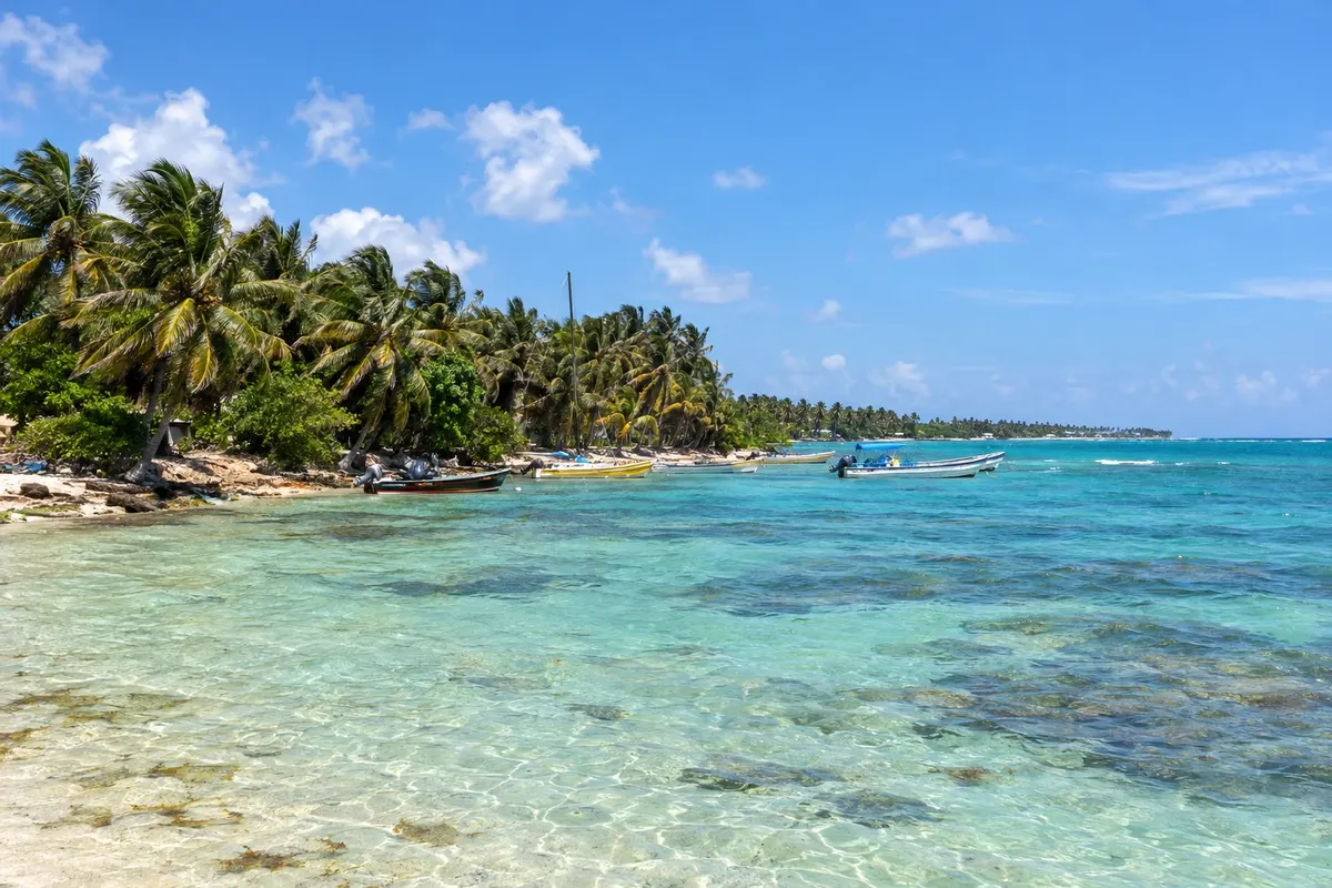
San Andrés is the capital of the archipelago and occupies the island of the same name, about 26 km², in the Colombian Caribbean. The center, in the north, has the airport, hotels, shops and Spratt Bight beach; from there speedboats depart for Johnny Cay and Acuario. The road that circles the island passes natural pools like West View and La Piscinita, the Hoyo Soplador at the southern tip and the beaches of San Luis. Up on the heights, La Loma houses the Baptist church and the raizal culture, with an English-based Creole.
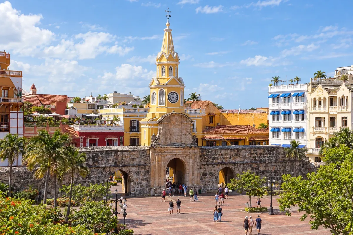
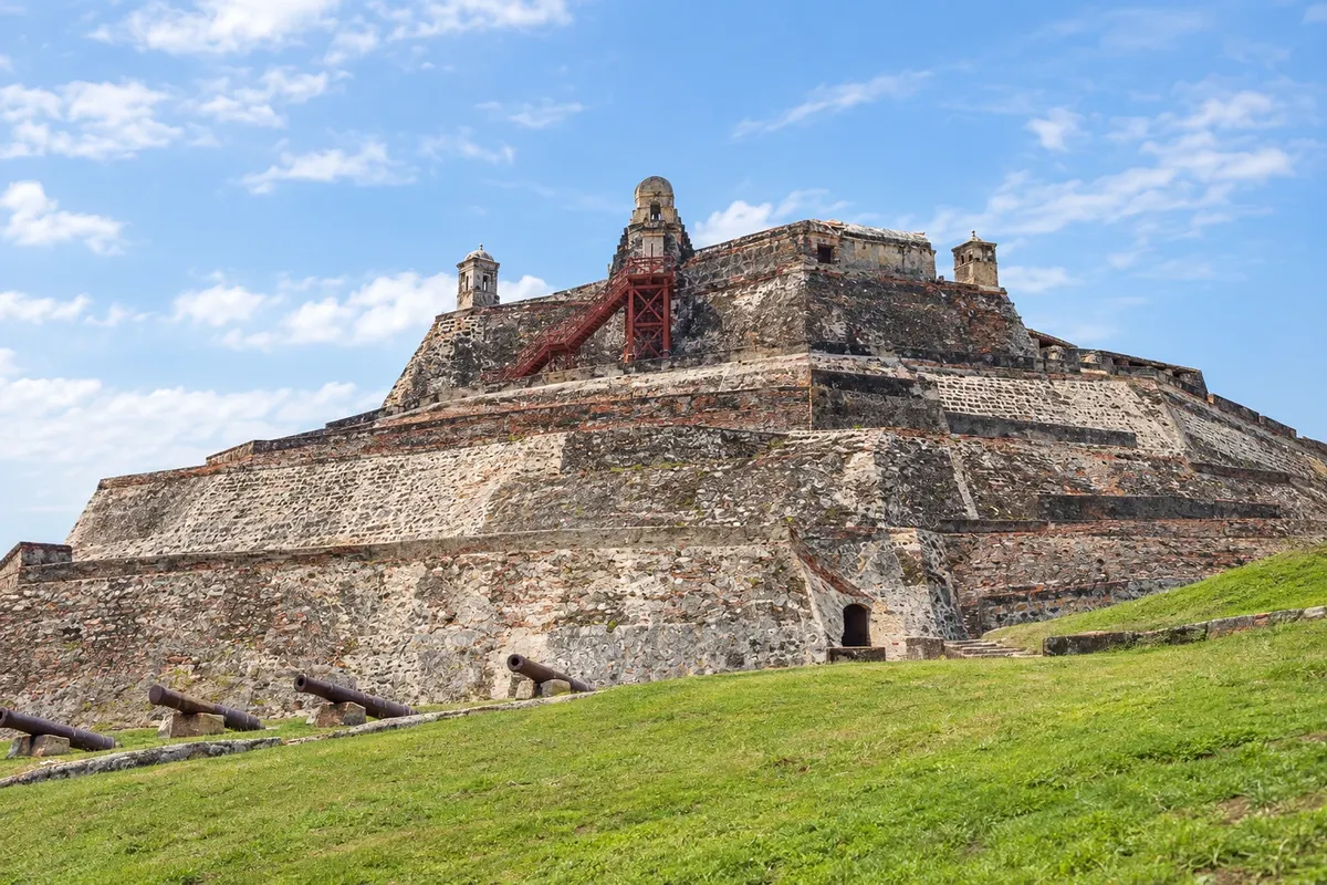
Cartagena de Indias is the capital of the Bolívar department on the Colombian Caribbean coast. The walled city, founded in 1533 and a UNESCO World Heritage Site, brings together squares, churches and colorful colonial houses; outside the walls are Getsemaní, the Castillo San Felipe and the Cerro de la Popa. To the south, Bocagrande has buildings and urban beaches, and by boat you can reach Islas del Rosario. The climate is warm and humid year‑round.
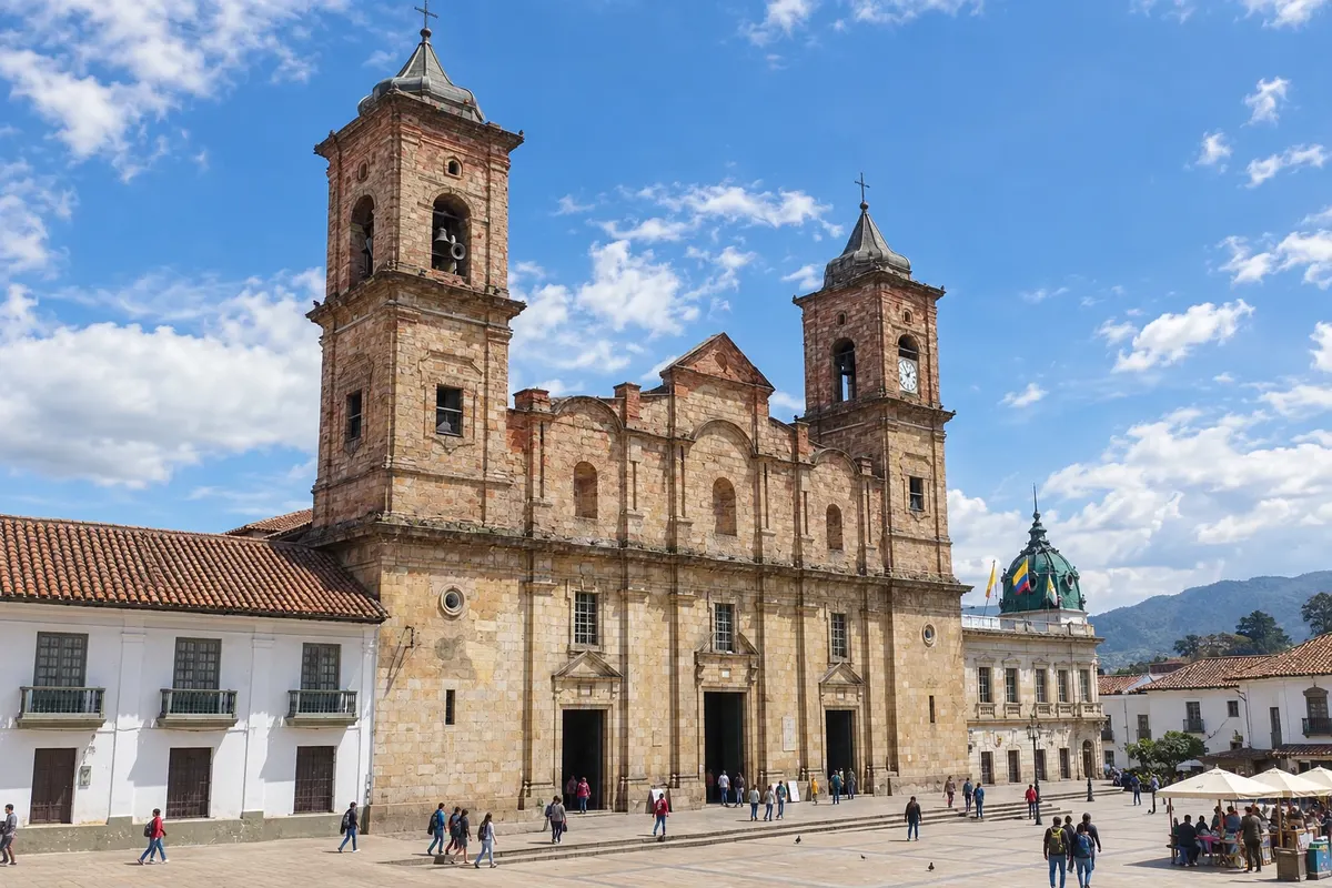
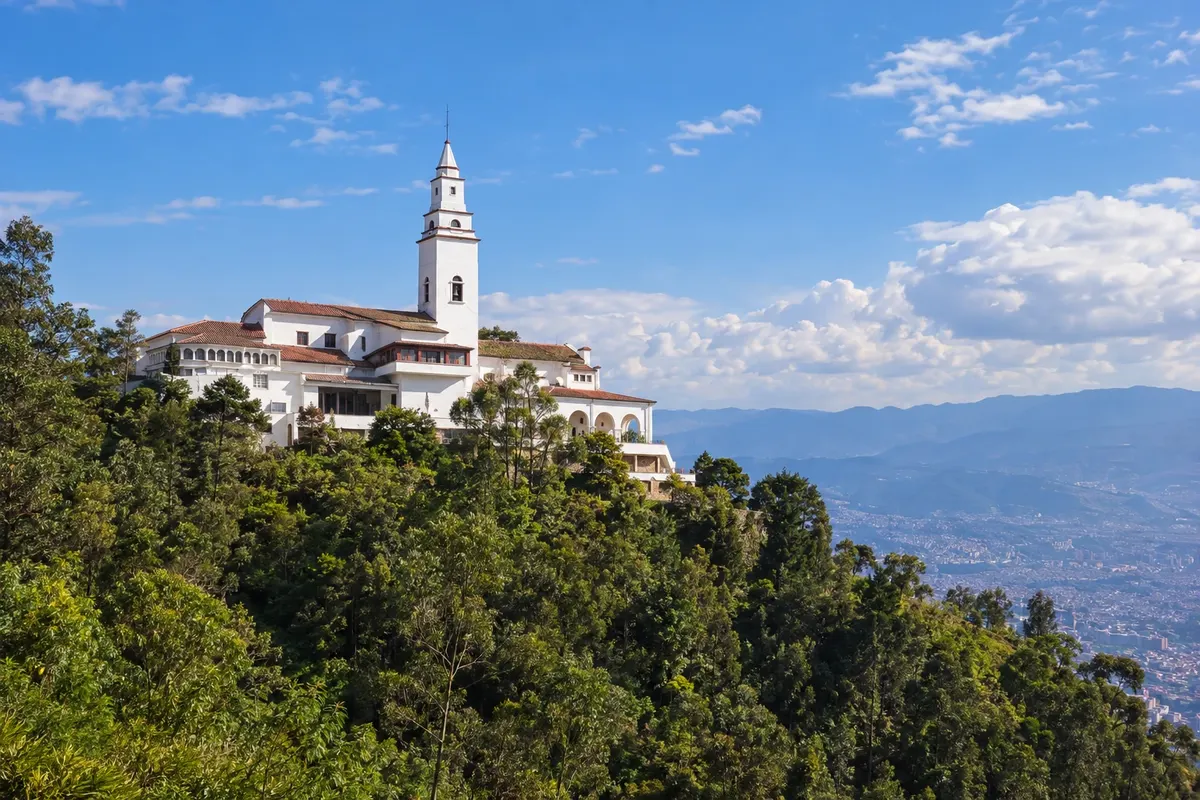
Zipaquirá is a colonial town on the Sabana de Bogotá, about 50 km north of the capital and at 2,650 meters altitude. It has lived off salt since the Muiscas and contains the Catedral de Sal inside the mountain, a church excavated 180 meters deep. The center, around the Plaza de los Comuneros, features balconyed manor houses and the stone cathedral. It’s the most common day trip from Bogotá.

Za popotnike
Aplikacija
Shranite destinacije, ki jih želite obiskati, pošljite fotografije s potovanj in spremljajte novosti v vodniku.
Cidade Turismo po svetu
Poti, destinacije in mesta posameznih držav s predlogi, kaj početi, kdaj se odpraviti in kako do tja.
Kolumbija V vodniku
Več kot vodnik
Pogosta vprašanja
A travel guide to Kolumbija organized into routes, destinations, departmaji and cities. Each city has things to do, attractions, when to go and how to get there. It is part of Cidade Turismo, a guide in Portuguese, Spanish and English with countries on every continent, Flavors, Festivals and events and the knowledge pages.
A route is a journey linking several towns. A destination is a tourist region with its towns. A city is the place itself, with its attractions.
Aplikacija
Type the name in the search box: it can be a route, destination, departma, city or attraction. Or start from Routes, Destinations or Departmaji in mesta in the menu.
Da. Na spletnem mestu cidadeturismo.com so prevedene destinacije že predstavljene v španščini in angleščini. Druge dodajamo postopoma.
Da, za Android jo najdete v trgovini Google Play. V njej lahko shranite destinacije, ki jih želite obiskati, in prejemate obvestila o novostih.