

Slap
Cachoeira das Andorinhas
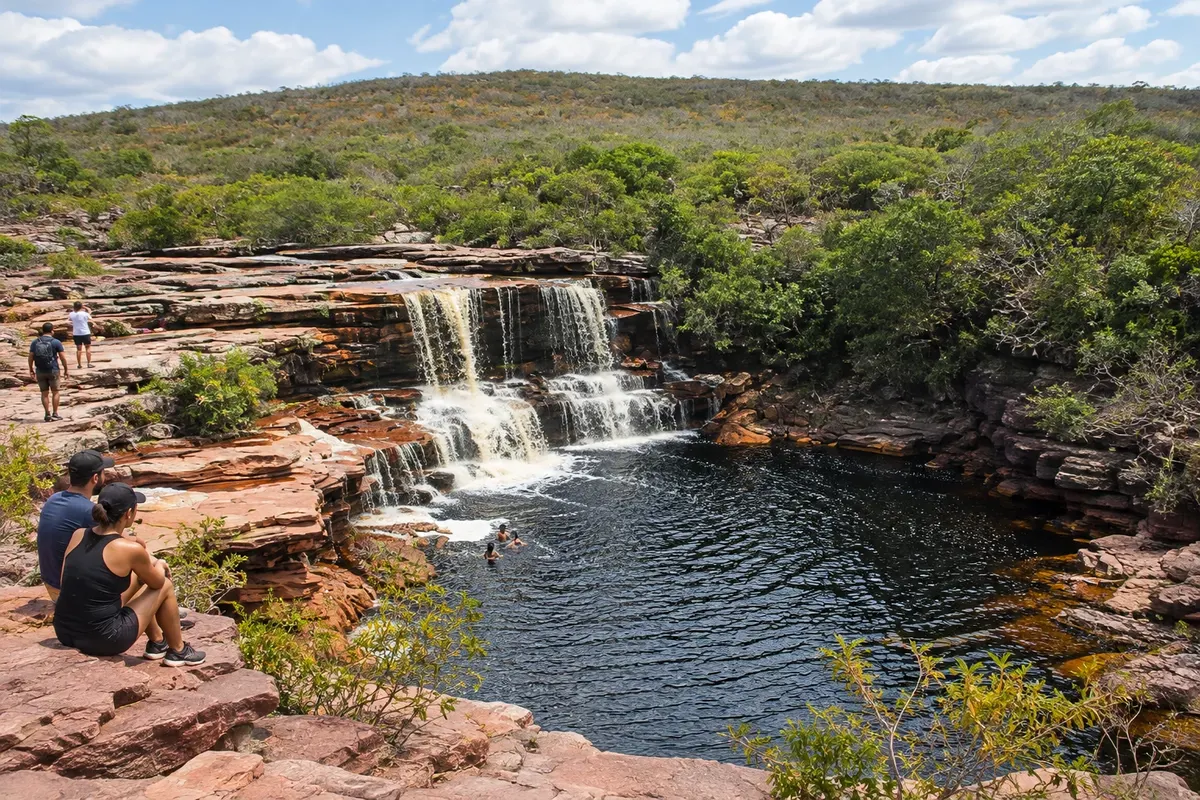
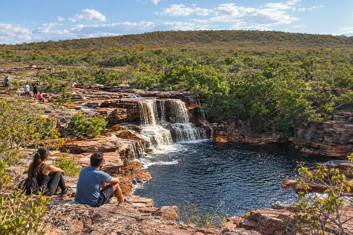
Waterfall and reddish rocks in the territory of Iramaia, accessed via a rural approach.
Raziščite Cachoeira das Andorinhas

 Išči
Brazilija
 Antarktika
 Argentina
 Bolivija
 Čile
 Kolumbija
 Ekvator
 Gvajana
 Francoska Gvajana
 Falklandski otoki (Malvini)
 Paragvaj
 Peru
 Surinam
 Urugvaj
 Venezuela
 Nemčija
 Avstrija
 Belgija
 Hrvaška
 Danska
 Slovaška
 Slovenija
 Španija
 Finska
 Francija
 Grčija
 Nizozemska
 Madžarska
 Irska
 Islandija
 Italija
 Luksemburg
 Norveška
 Poljska
 Portugalska
 Združeno kraljestvo
 Češka
 Švedska
 Švica
 Turčija
 Bermudi
 Kanada
 Združene države Amerike
 Grenlandija
 Mehika
 Sveta Peter in Mihael
 Dominikanska republika
 JaponskaTurčija
 Južnoafriška republika
 Egipt
 Avstralija
 Fidži
 Nova Zelandija
 Papua Nova Gvineja
Bahia · Brazilija
Destinacija: Chapada Diamantina.
Na fotografiji: Reddish rocks at the Cachoeira das Andorinhas, in Iramaia.
Illustrative images. The pictures in this guide are illustrations based on the real place, not photographs, and may differ from it.
Mesto
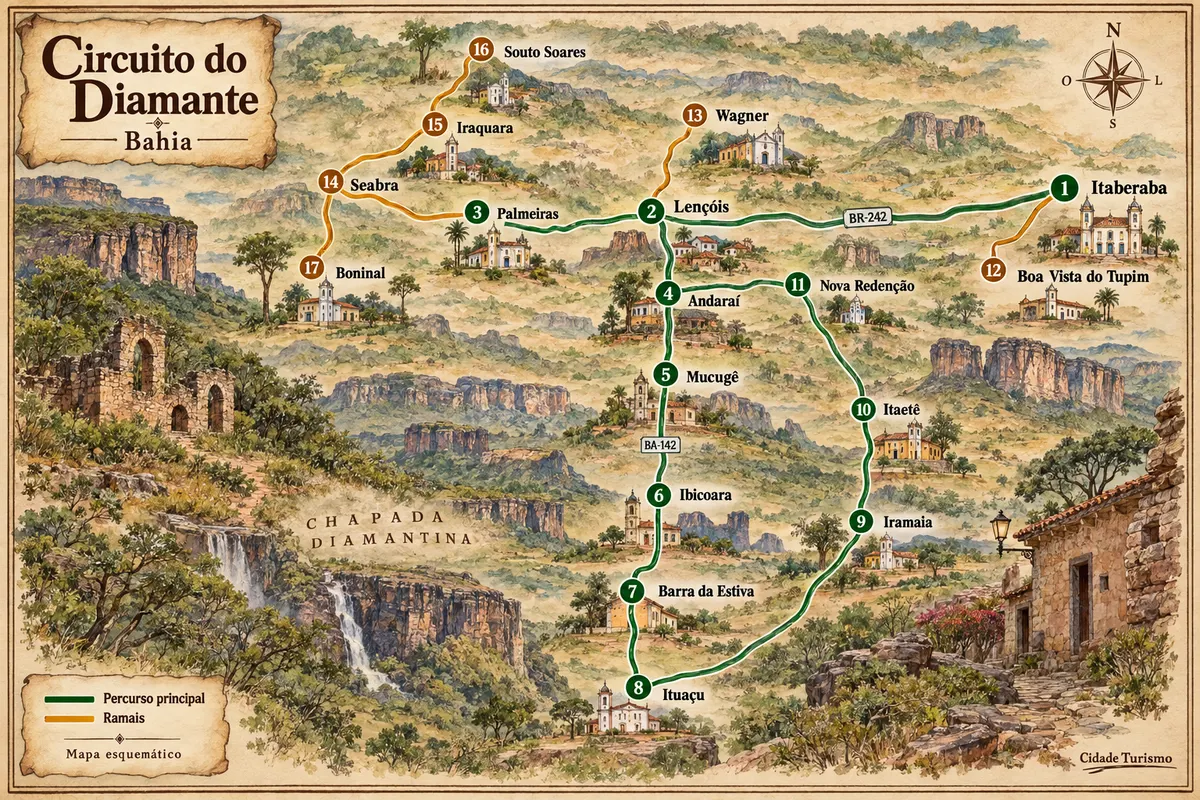
Iramaia includes the village of Raposa, waterfalls and traces of rural settlement of the Chapada. The Cachoeira das Andorinhas features reddish rocks and is accessed via the municipality's territory; the Rio Una environment is part of local tours. The municipal seat is on the eastern side of the Circuito do Diamante, with different access points than the highland bases of Mucugê and Ibicoara.
Iramaia – število nastanitev: 10.
kako do tja · koliko dni · načrt poti · vprašanja
Brazilske poti
Mining-era houses, mountain ranges and rural roads among the municipalities of Chapada Diamantina.
Doživite kraj
Waterfall and reddish rocks in the territory of Iramaia, accessed via a rural approach.
Raziščite Cachoeira das Andorinhas
Pred odhodom
Iramaia – BA Destinacija Chapada Diamantina
Arrival to Iramaia uses the regional corridor BA-026 and access roads to the municipal seat. For Andorinhas and the villages, arrange the local approach; the stretch to the waterfall may include an unpaved road.
Allow a full day for the Cachoeira das Andorinhas and its approaches. To combine the municipal seat and the Raposa area, plan an additional stage instead of trying to visit all localities in the same outing.
May to September usually has less rain in Iramaia. November to April is the rainier period. The flow of the waterfalls and the condition of local roads vary; guidance from your host or organizer helps determine the departure.
The seasons shown are the most usual ones; nature doesn't always follow the calendar.
The rural localities and the waterfall are separate from the municipal seat. A vehicle suitable for the chosen access or arranged transport helps organize arrival and return.
Predlog poti
Pot povezuje znamenitosti na tej strani. Za oglede boste imeli dovolj časa.
Visit the waterfall via the provided access, observing rocks and banks within the designated circulation area.
Use the return route to visit the public sections of the locality included in the reception, without entering private areas on your own.
Check before you go. Opening hours and days change, and places may close for renovations, holidays or events. This itinerary is a suggestion from Cidade Turismo, not a commitment: plan yours by checking directly with each place you intend to visit.
Pred odhodom
They are distinct municipalities, with different road access points and rural localities. Choose the base according to the waterfall you intend to visit.
The rural approach may include that type of surface. Confirm the route and the appropriate vehicle with reception before departing.
The flow depends on rainfall. For a rural visit, ask about local conditions and do not take photographs as a permanent indicator.
The village belongs to Iramaia. The approach to the locality is distinct from arrival at the municipal seat.
Več kot vodnik


