

 Antarktika
 Argentina
 Bolivija
 Čile
 Kolumbija
 Ekvator
 Gvajana
 Francoska Gvajana
 Falklandski otoki (Malvini)
 Paragvaj
 Peru
 Surinam
 Urugvaj
 Venezuela
 Nemčija
 Avstrija
 Belgija
 Hrvaška
 Danska
 Slovaška
 Slovenija
 Španija
 Finska
 Francija
 Grčija
 Nizozemska
 Madžarska
 Irska
 Islandija
 Italija
 Luksemburg
 Norveška
 Poljska
 Portugalska
 Združeno kraljestvo
 Češka
 Švedska
 Švica
 Turčija
 Bermudi
 Kanada
 Združene države Amerike
 Grenlandija
 Mehika
 Sveta Peter in Mihael
 Dominikanska republika
 Japonska
 Južnoafriška republika
 Egipt
 Avstralija
 Fidži
 Nova Zelandija
 Papua Nova Gvineja
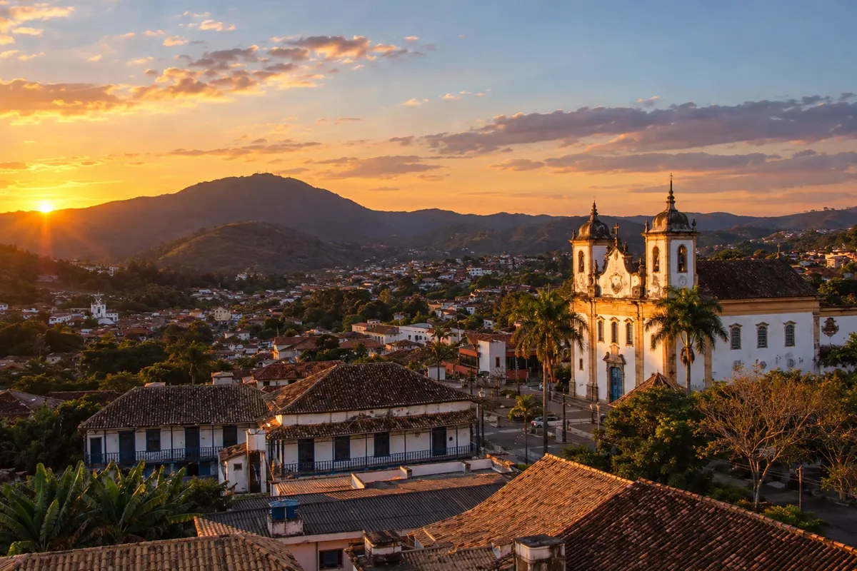
Pot · MG
Estrada Real – Sabarabuçu Route
From Cocais to Glaura, the Sabarabuçu route brings together mountain ranges, the Rio das Velhas, and the heritage of Caeté and Sabará.
Na fotografiji: Historic center of Caeté, Caeté, MG
Illustrative images. The pictures in this guide are illustrations based on the real place, not photographs, and may differ from it.


Pot
a Estrada Real – Sabarabuçu Route – predstavitev
The Sabarabuçu Route starts in Cocais, a district of Barão de Cocais, and ends in Glaura, a district of Ouro Preto. There are 160 km officially between towns in Minas, with the Serra da Piedade and the Rio das Velhas valley as reference points.
Caeté includes the passage by Morro Vermelho and access to the Santuário da Piedade. Sabará offers the Museu do Ouro and the Municipal Theatre, which help explain the history of mining and urban life. Separate those visits from the distance to be covered in each stage.
After Raposos, the route reaches Honório Bicalho, a district of Nova Lima. Nova Lima’s town center lies outside this historic sequence. On the link to Rio Acima, the Instituto Estrada Real issues a notice of a closed bridge over the Córrego do Feijão and advises following the MG-030.
The route features demanding trails and dirt roads, with different alternatives for motor vehicles, bicycles and walking. When you reach Glaura you complete the official itinerary; continuing to the center of Ouro Preto adds another part to the trip.
Zemljevid
Število mest na poti: 7
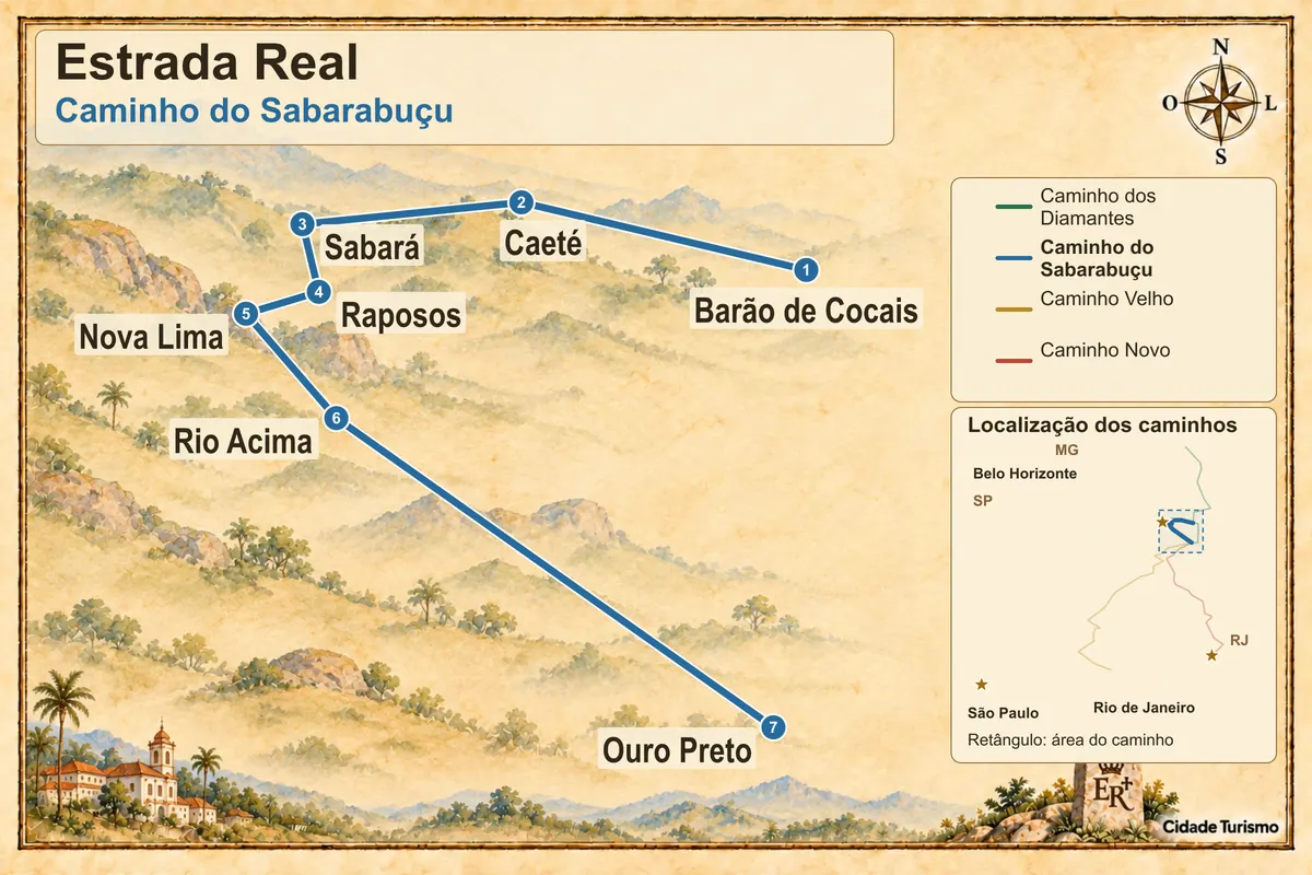
Zemljevid: @svg-maps/brazil, CC BY 4.0
Potek poti
Od mesta do mesta
Razdalje in časi so okvirni. Preverite jih pred odhodom.
-
 1 · MG
Barão de Cocais
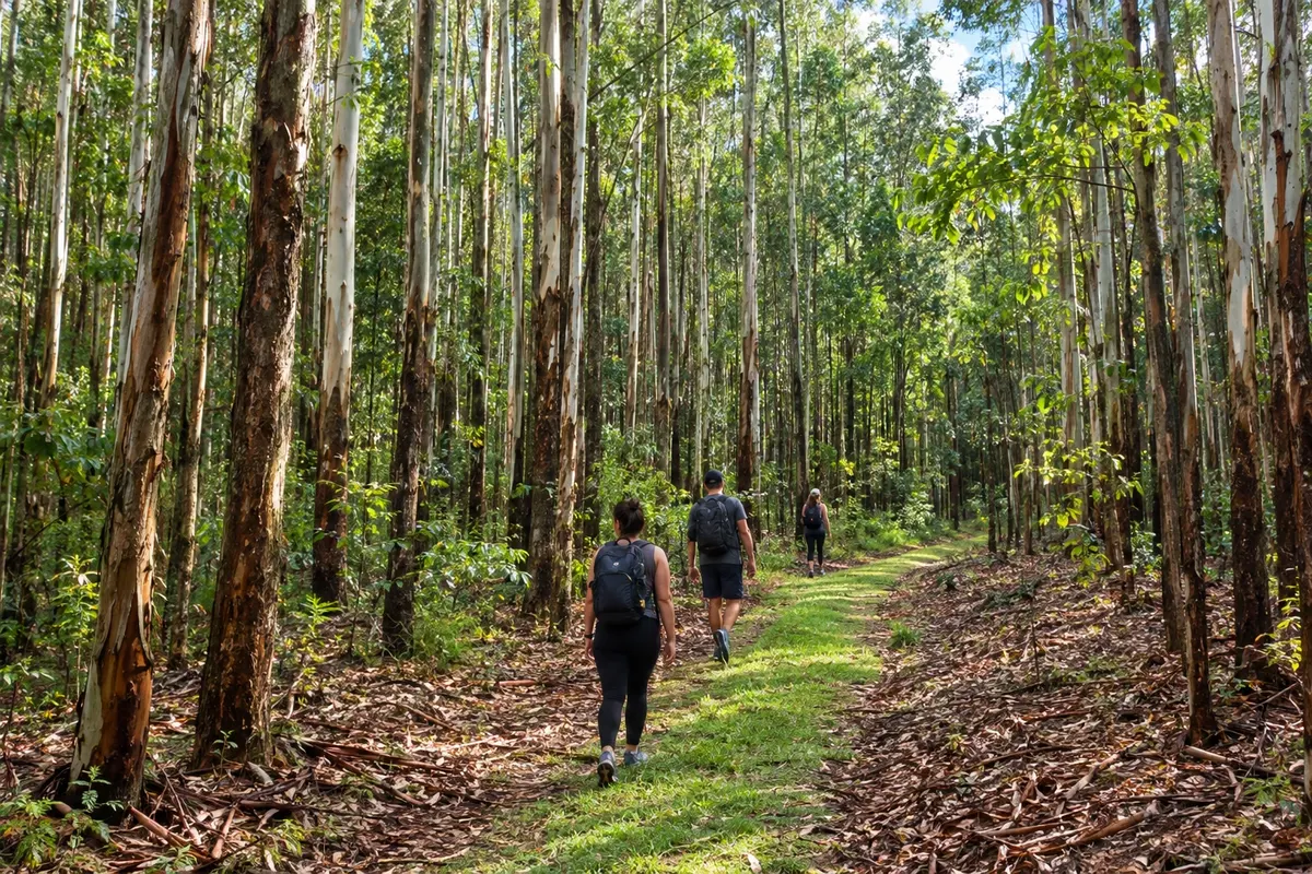
Barão de Cocais begins the Sabarabuçu at the district of Cocais. The fork separates this route from the Diamantes route and leads toward Caeté.
→ Caeté The Sabarabuçu Route splits from the Diamantes Route in Cocais, a district of Barão de Cocais, and continues to Caeté. The stage includes climbs and passage through eucalyptus groves, with the Serra da Piedade as a visual reference; check the fork so you don’t continue on the other route.
-
 2 · MG
Caeté
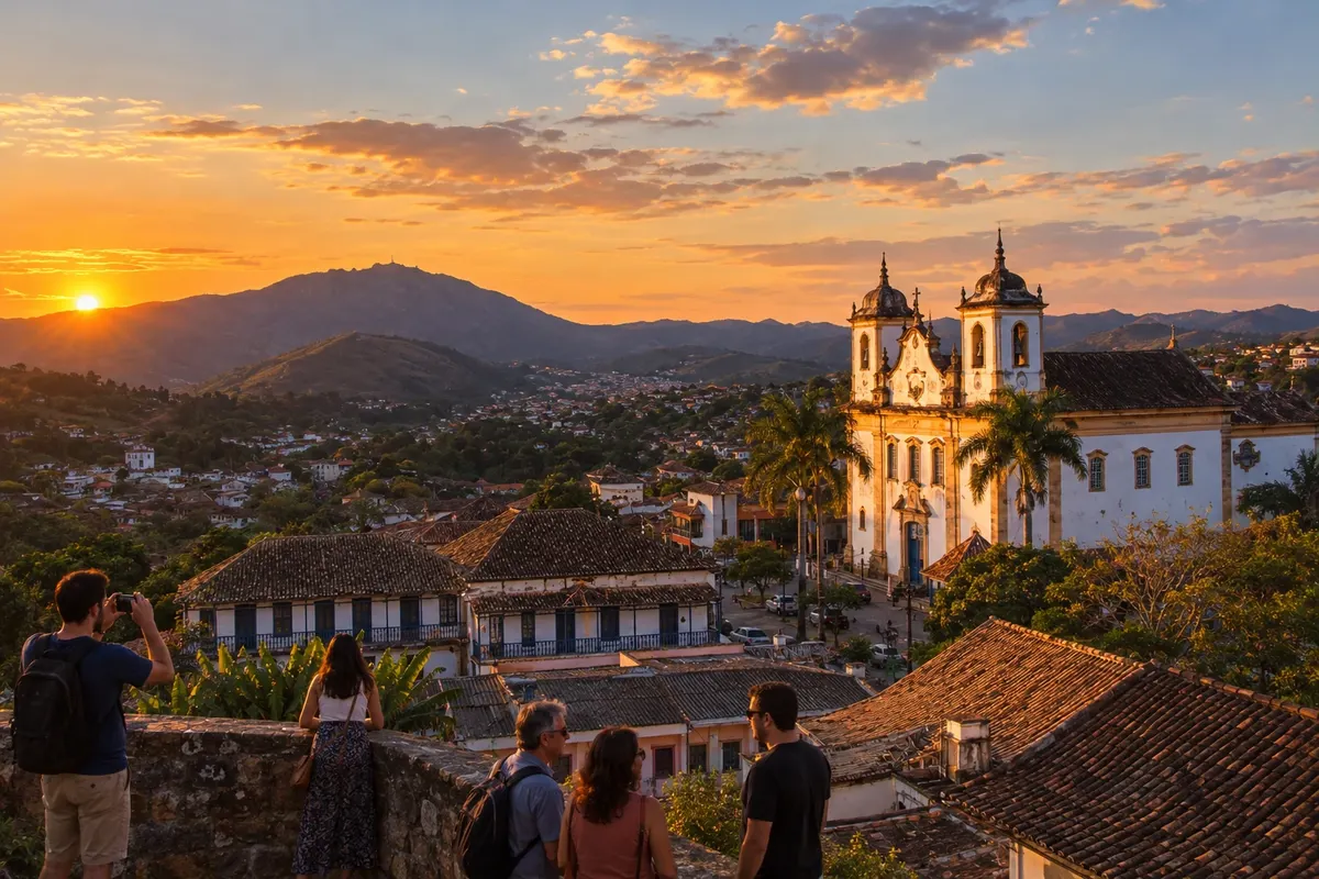
Caeté brings together the Serra da Piedade and the passage through Morro Vermelho. Visiting the sanctuary at the top of the ridge requires a separate access in addition to the stage toward Sabará.
→ Sabará Between Caeté and Sabará, the passage through Morro Vermelho is part of the route. The original trail is marked by tall vegetation and difficult navigation, and the alternative uses dirt roads, including an unmarked section; prepare navigation before you start.
-
 3 · MG
Sabará
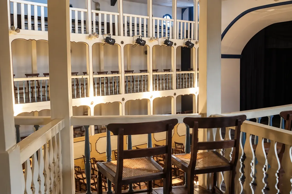
Sabará lets you visit the Museu do Ouro and the Municipal Theatre. The exit toward Raposos goes via Arraial Velho, on a connection that includes a trail with no access for motor vehicles.
→ Raposos From Sabará to Raposos, the historic axis goes through Arraial Velho and combines dirt, trail and a paved section. The trail section does not allow motor vehicles, including 4x4s; drivers need the alternative connection between the towns.
-
 4 · MG
Raposos
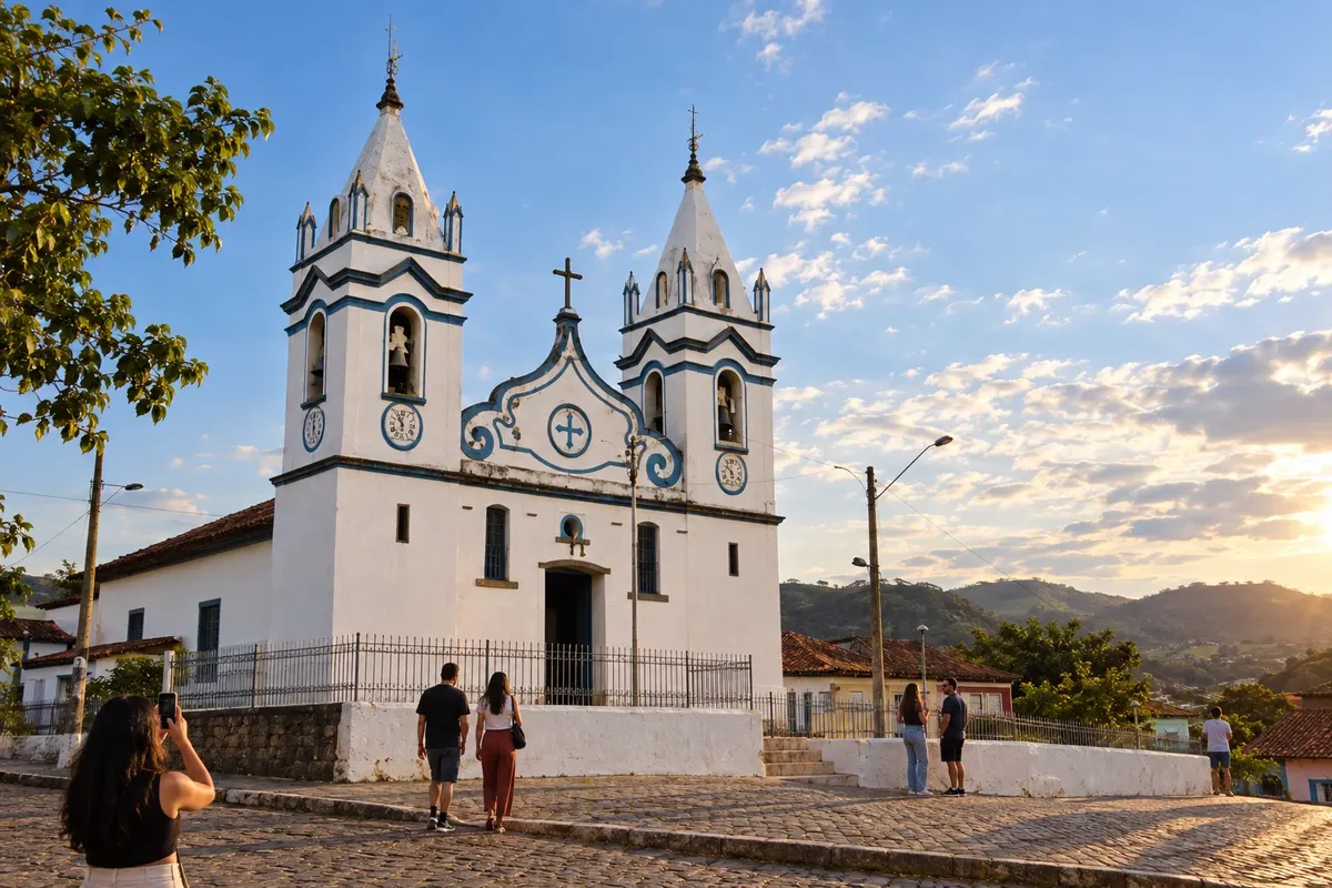
Raposos comes before Honório Bicalho, in the municipality of Nova Lima. The trail on that link has narrow passages and slopes; use the alternative planned for your modality.
→ Nova Lima The continuation from Raposos reaches Honório Bicalho, a district of Nova Lima, via a route with a narrow trail, steep climbs and descents. That trail is intended for walking and not for cars; cyclists and riders should also use the alternative provided for the stage.
-
 5 · MG
Nova Lima
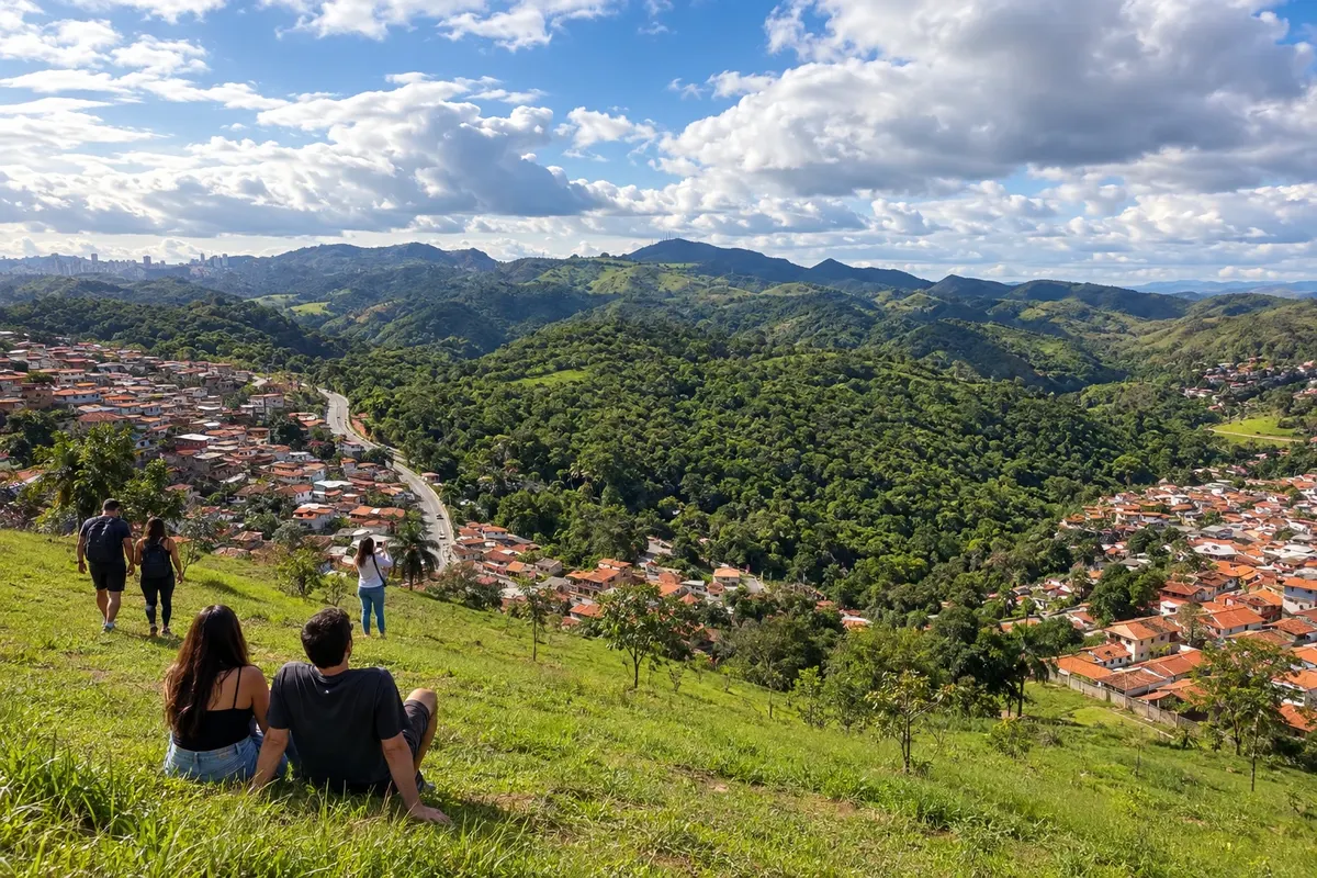
Nova Lima features in the district of Honório Bicalho, with no mandatory visit to the town center. The Instituto Estrada Real reports a closed bridge on the continuation to Rio Acima and advises the detour via the MG-030.
→ Rio Acima From Honório Bicalho, a district of Nova Lima, follow to Rio Acima via the alternative indicated by the IER on the MG-030. The bridge over the Córrego do Feijão remains reported as closed for maintenance; do not use the closed crossing.
-
 6 · MG
Rio Acima
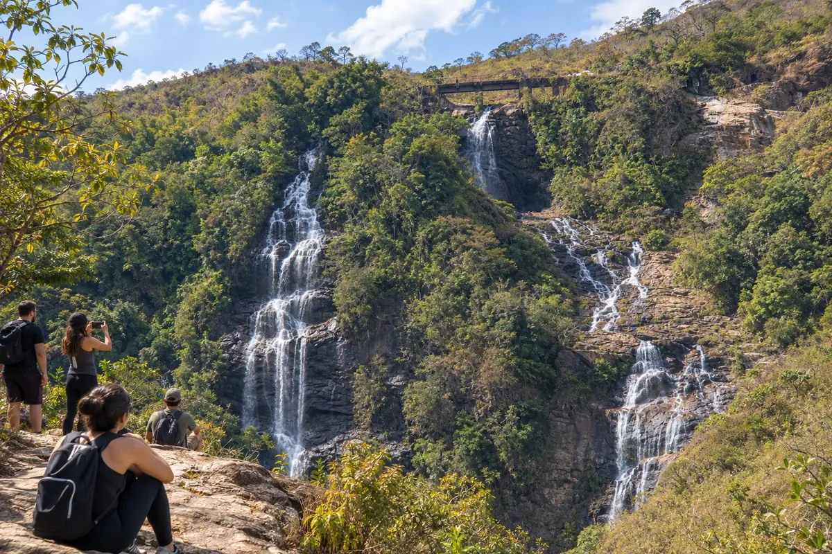
Rio Acima precedes arrival at Glaura, via dirt roads, climbs and descents. There is little shade on the high ridge; arrange supplies and the timing of the stage.
→ Ouro Preto From Rio Acima, follow the dirt and cobbled stages to Glaura, a district of Ouro Preto and the official end of the Sabarabuçu. Going to the center of Ouro Preto extends the trip along the Caminho Velho and includes other accesses that require their own navigation.
-
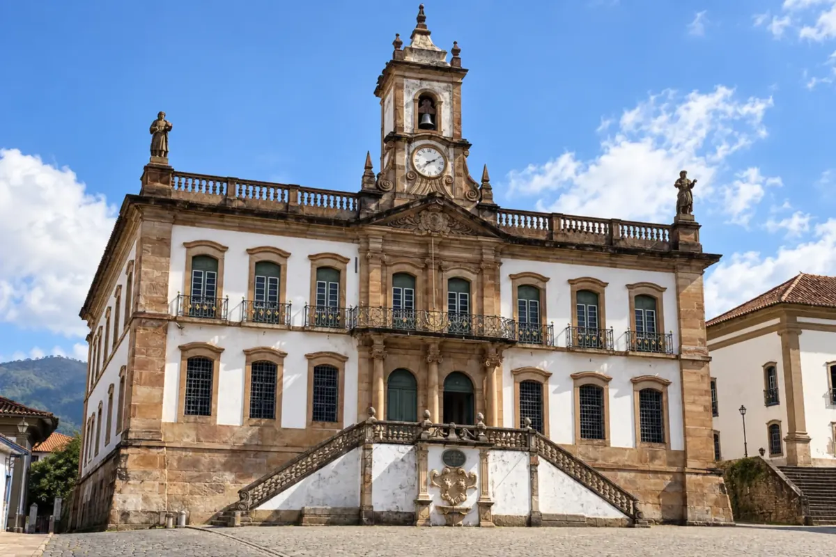 7 · MG
Ouro Preto
Ouro Preto receives the official end of the Sabarabuçu in Glaura, a district of the municipality. The link to Ouro Preto’s town center is an extension of the trip, with other stages of the Caminho Velho.
Koliko dni
Split Cocais, Caeté and Sabará into an initial trip of three to four days, leaving time for heritage sites and local transfers. Covering all trails to Glaura requires adjusting the duration to the effort, available support and detours, rather than following an urban-visit timetable.
Najboljši čas za obisk
Choose dates after checking trail conditions for Morro Vermelho, Raposos and Honório Bicalho. Rain can hinder navigation and passage on narrow paths. For views of the Serra da Piedade, also consider the expected visibility.
The seasons shown are the most usual ones; nature doesn't always follow the calendar.
Kako prepotovati pot
Start in Cocais and finish in Glaura, choosing the correct alternative for each trail section. The Raposos–Honório Bicalho link has modality restrictions; between Honório Bicalho and Rio Acima follow the diversion guidance via the MG-030. Plan the continuation to Ouro Preto’s town center separately.
Komu je pot namenjena
People interested in historical mining, the museums and churches of Caeté and Sabará, and crossings around the Rio das Velhas.
Dolžina
Približno 160 km
Odgovori na vaša vprašanja
Pogosta vprašanja – Estrada Real – Sabarabuçu Route
Why are Barão de Cocais and Ouro Preto the endpoints?
The start is in Cocais, a district of Barão de Cocais, and the end in Glaura, a district of Ouro Preto. Stops are listed by municipality name.
Does the route require entering Nova Lima’s town center?
The historic section uses Honório Bicalho, a district of Nova Lima. Visiting the town center requires leaving that axis and arranging another transfer.
Which detour does the Institute report after Honório Bicalho?
The bridge over the Córrego do Feijão, on the link to Rio Acima, is reported closed for maintenance. The published guidance is to follow the MG-030.
Does the trail from Raposos to Honório Bicalho allow cars?
The narrow trail is intended for walking. For cars, bicycles or horseback, follow the alternative described for the stage, respecting access restrictions.
Does the 160 km length reach the center of Ouro Preto?
The official length refers to Cocais–Glaura. Continuing from Glaura to the center of Ouro Preto is an addition to the official route.
Več kot vodnik


