

 Antarktika
 Argentina
 Bolivija
 Čile
 Kolumbija
 Ekvator
 Gvajana
 Francoska Gvajana
 Falklandski otoki (Malvini)
 Paragvaj
 Peru
 Surinam
 Urugvaj
 Venezuela
 Nemčija
 Avstrija
 Belgija
 Hrvaška
 Danska
 Slovaška
 Slovenija
 Španija
 Finska
 Francija
 Grčija
 Nizozemska
 Madžarska
 Irska
 Islandija
 Italija
 Luksemburg
 Norveška
 Poljska
 Portugalska
 Združeno kraljestvo
 Češka
 Švedska
 Švica
 Turčija
 Bermudi
 Kanada
 Združene države Amerike
 Grenlandija
 Mehika
 Sveta Peter in Mihael
 Dominikanska republika
 Japonska
 Južnoafriška republika
 Egipt
 Avstralija
 Fidži
 Nova Zelandija
 Papua Nova Gvineja
Pot · RJ · SP
Rio–Santos
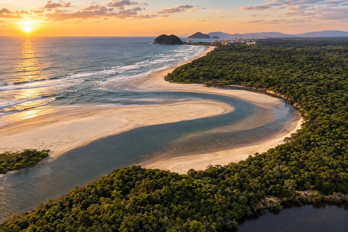
From the Costa Verde to the São Paulo coast, with beaches, heritage and an extension via Guarujá to Santos.
Na fotografiji: Itaguaré scenery in Bertioga on the Rio–Santos route
Illustrative images. The pictures in this guide are illustrations based on the real place, not photographs, and may differ from it.


Pot
Rio–Santos – predstavitev
The Rio–Santos follows the coast between Rio de Janeiro and the Santos region. This route organizes stops from the Rio de Janeiro capital to Bertioga, passing through the Costa Verde and the northern São Paulo coast. Guarujá and the urban part of Santos are included as a tourist extension via ferry crossings, with their own access.
In Rio de Janeiro, the road axis links Itaguaí, Mangaratiba, Angra dos Reis and Paraty. The landscape combines coastline and Atlantic Forest. Paraty allows for including historic heritage; in Angra, island trips must be arranged separately from road transfers.
In São Paulo, the route continues through Ubatuba, Caraguatatuba, São Sebastião and Bertioga. Choose beaches and bases according to the time you have, rather than trying to visit every town for the same length of time. Bertioga combines coastal scenery with Forte São João and Parque dos Tupiniquins beside the canal.
The connection to Guarujá can be made by the crossing from Bertioga; from Guarujá another crossing allows you to continue to Santos. That extension is shown differently on the map. Check ferry operations and road conditions before you set out. The illustration shows the sequence and relative positions, not every access.
Zemljevid
Število mest na poti: 11
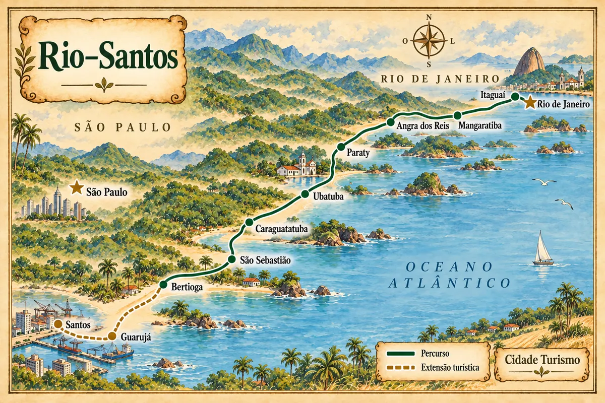
Zemljevid: @svg-maps/brazil, CC BY 4.0
Potek poti
Od mesta do mesta
Razdalje in časi so okvirni. Preverite jih pred odhodom.
-
 1 · RJ
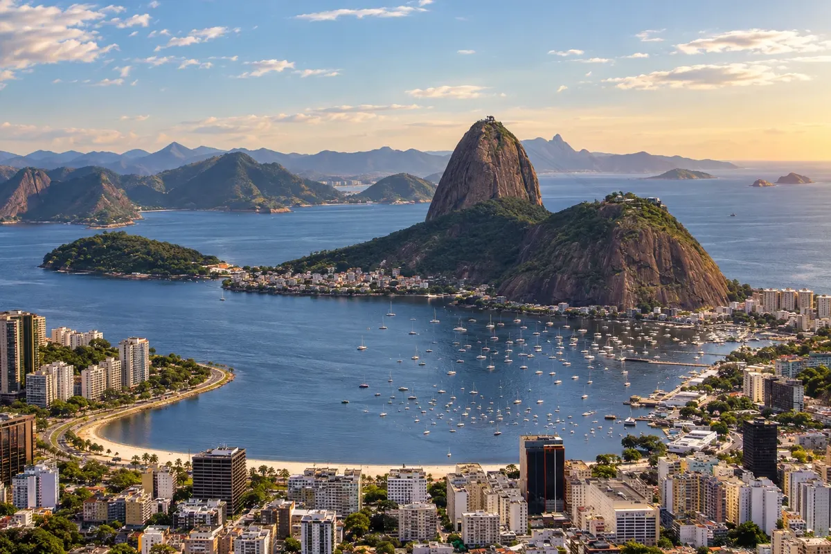
Rio de Janeiro
Rio de Janeiro and the start of this coastal route. Arrange access to the Rio–Santos axis.
→ Itaguaí Leaving Rio de Janeiro, take the BR-101, the Rio–Santos, toward Itaguaí. This stage leaves the capital for the access axis to the Costa Verde; visiting the city requires the corresponding urban exit.
-
 2 · RJ
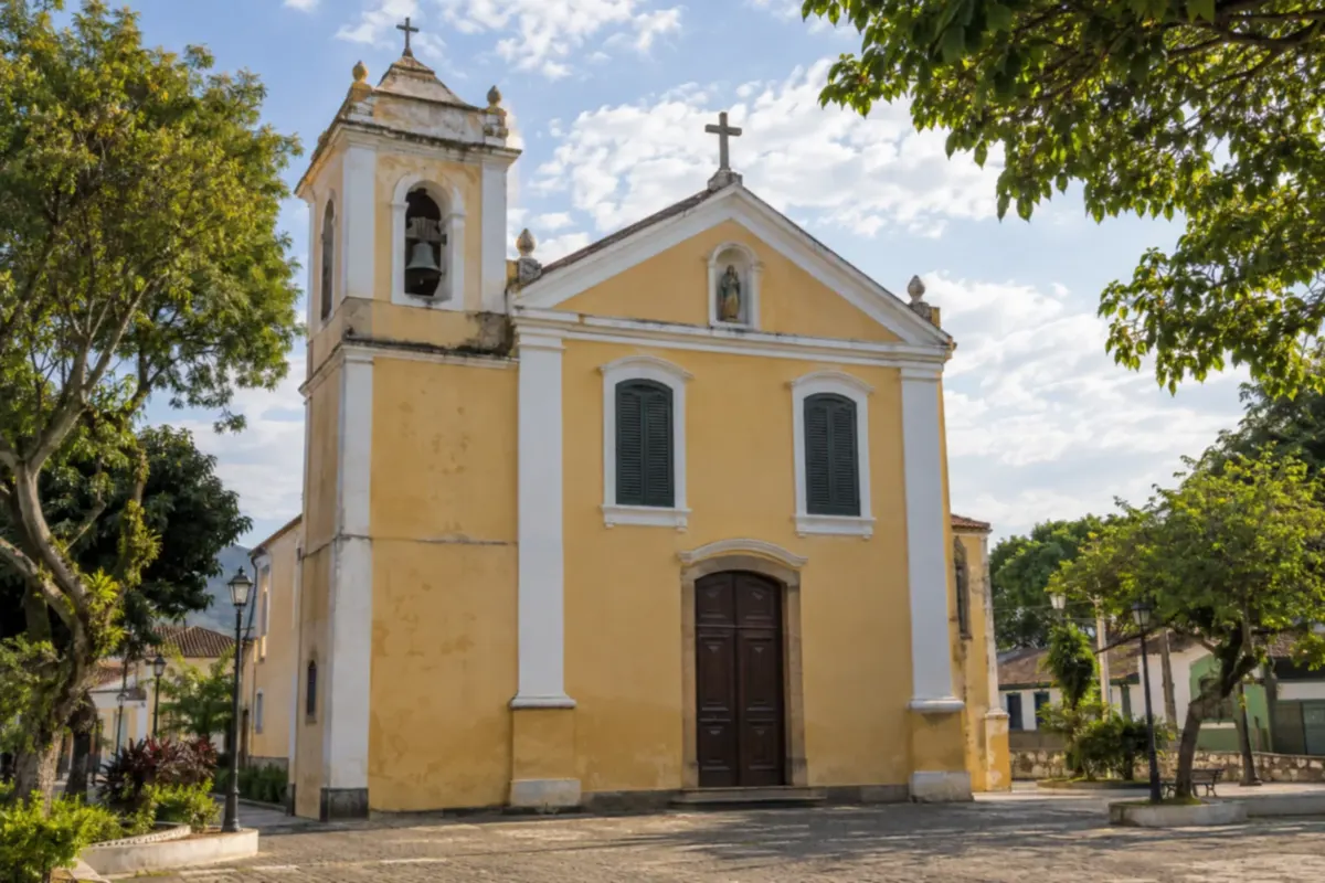
Itaguaí
Stop at the start of the Rio de Janeiro Costa Verde, on the road axis that continues to Mangaratiba.
→ Mangaratiba Itaguaí and Mangaratiba are linked by the BR-101 on the Rio–Santos section in Rio de Janeiro state. Use the access for the locality you choose in Mangaratiba; boarding points for coastal trips have dedicated locations.
-
 3 · RJ
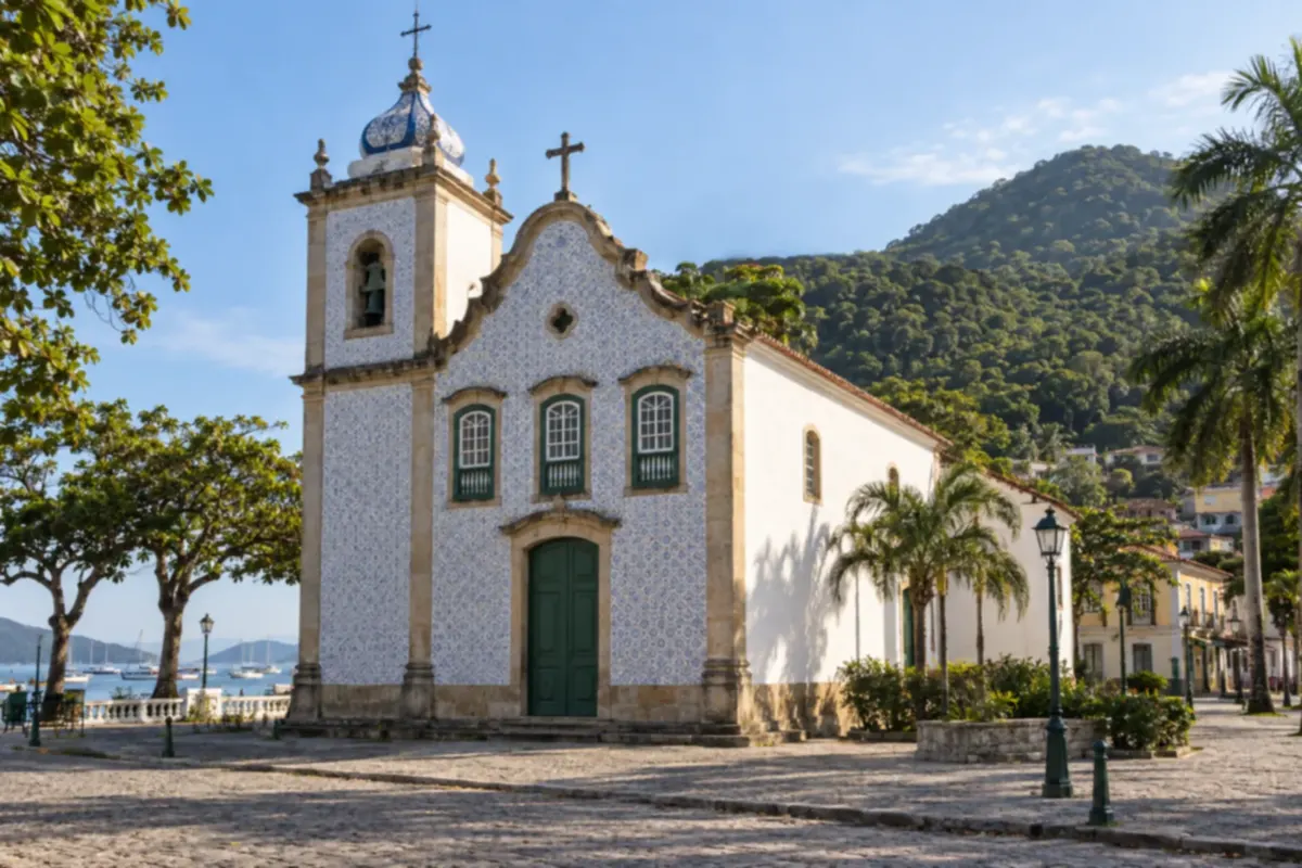
Mangaratiba
Costa Verde base to plan a stop before continuing to Angra dos Reis.
→ Angra dos Reis From Mangaratiba, the BR-101 continues to Angra dos Reis along the Costa Verde. The road does not go directly to the islands: get to the boarding point if your next activity requires navigation.
-
 4 · RJ
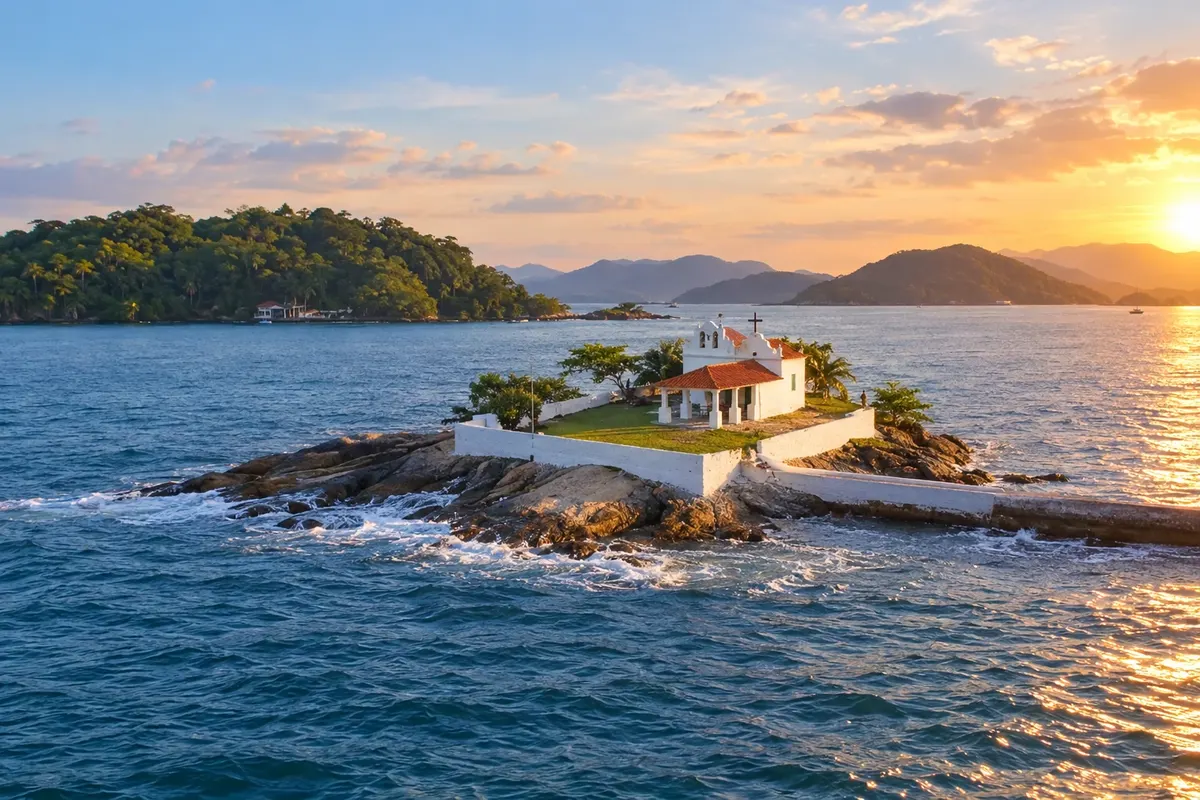
Angra dos Reis
Base for coastal landscape excursions; organize island visits separately.
→ Paraty Angra dos Reis and Paraty are connected by the BR-101 along the Costa Verde. On arrival in Paraty, leave the highway for the urban area; visiting the historic center is an activity separate from the road route.
-
 5 · RJ
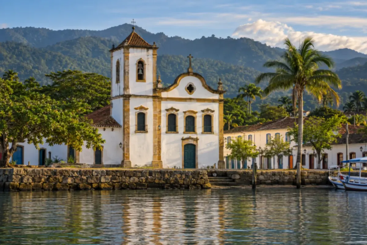
Paraty
Combines historic heritage and coastal scenery before continuing to the São Paulo coast.
→ Ubatuba From Paraty to Ubatuba, continue on the BR-101 and cross the border between Rio de Janeiro and São Paulo. The route follows the coast; preselect beach accesses, avoiding improvised stops on the road.
-
 6 · SP
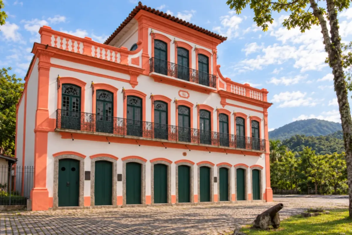
Ubatuba
Entry of the itinerary onto the São Paulo coast, with beaches you can choose according to available time.
→ Caraguatatuba The continuation from Ubatuba to Caraguatatuba follows the Rio–Santos along the SP-055 axis. It is a link between coastal hubs; each chosen beach has its own access off the main route.
-
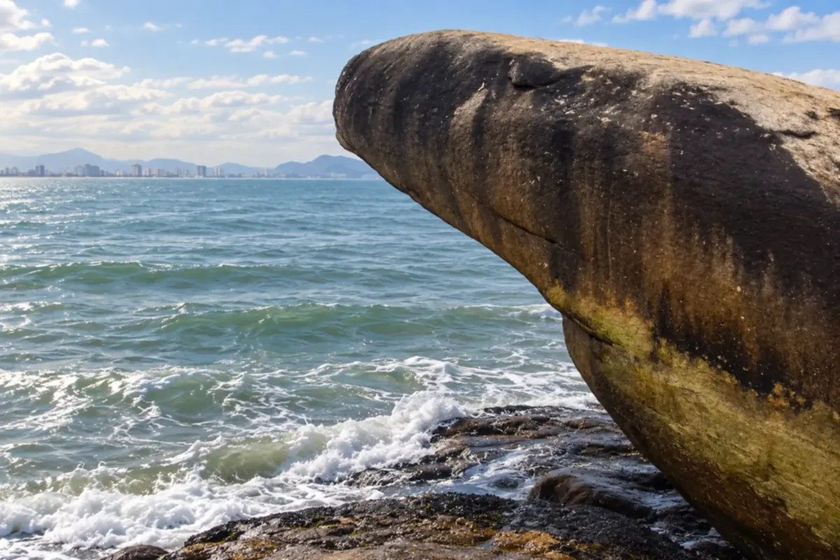 7 · SP
Caraguatatuba
Stop on the northern São Paulo coast before continuing toward São Sebastião.
→ São Sebastião Caraguatatuba and São Sebastião are connected by the coastal SP-055 axis. The Tamoios bypasses offer another circulation option; to visit urban areas, choose the exit corresponding to your base.
-
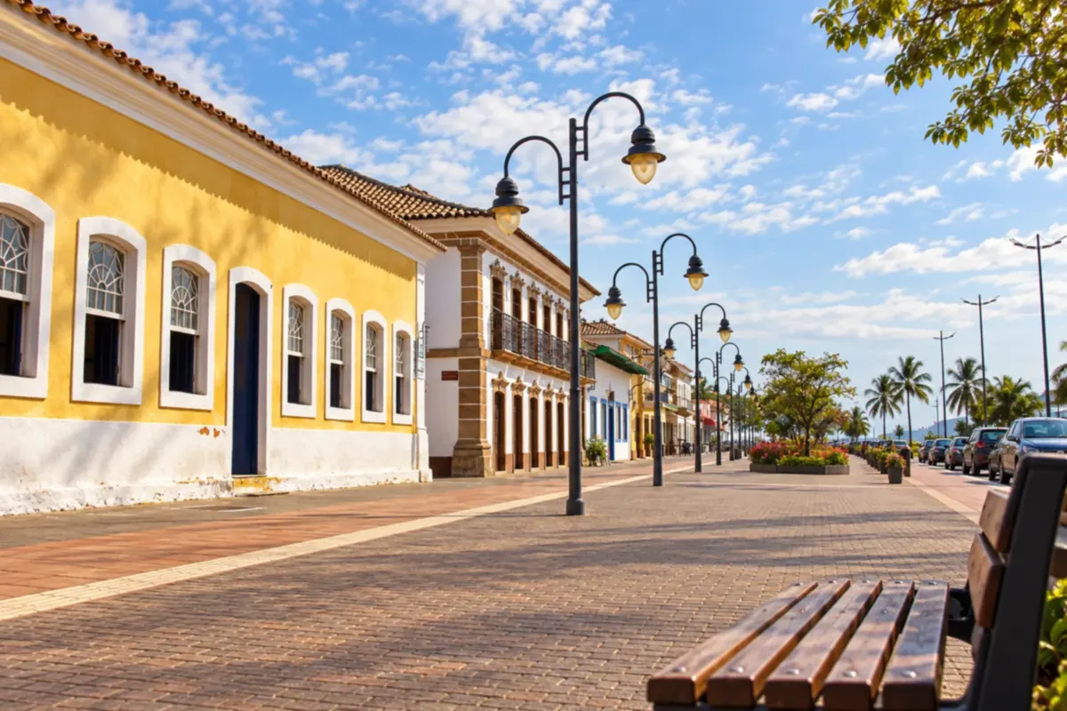 8 · SP
São Sebastião
Northern coast base with continuation along the coastal axis toward Bertioga.
→ Bertioga From São Sebastião to Bertioga, follow the SP-055, the Rio–Santos, passing the accesses of São Sebastião's southern coast. In Bertioga, Forte São João is in the central area and requires leaving the highway.
-
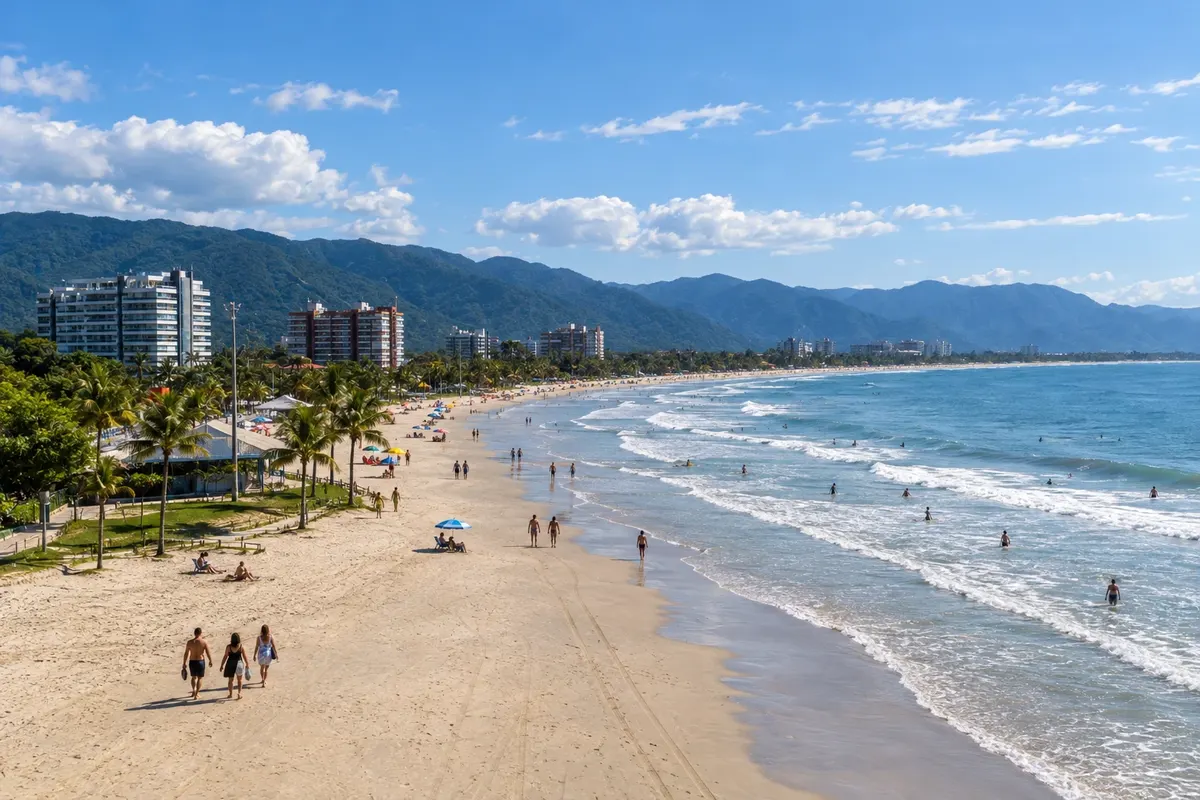 9 · SP
Bertioga
Combines Enseada, Itaguaré and the heritage beside the canal. Marks access to the Guarujá extension.
→ Guarujá Tourist extension via the Bertioga–Guarujá crossing and local accesses in Guarujá. Check operations and allow time for boarding; this section is distinct from the continuous Rio–Santos route.
-
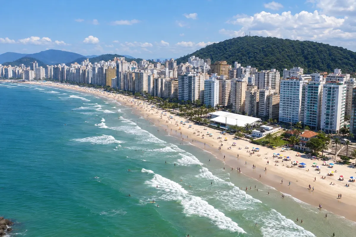 10 · SP
Guarujá
Tourist extension by crossing from Bertioga; the visit does not correspond to following the Rio–Santos continuously.
→ Santos Continuation of the extension via the Guarujá–Santos crossing. Confirm operations for the date and arrange access to Santos' urban area after disembarkation.
-
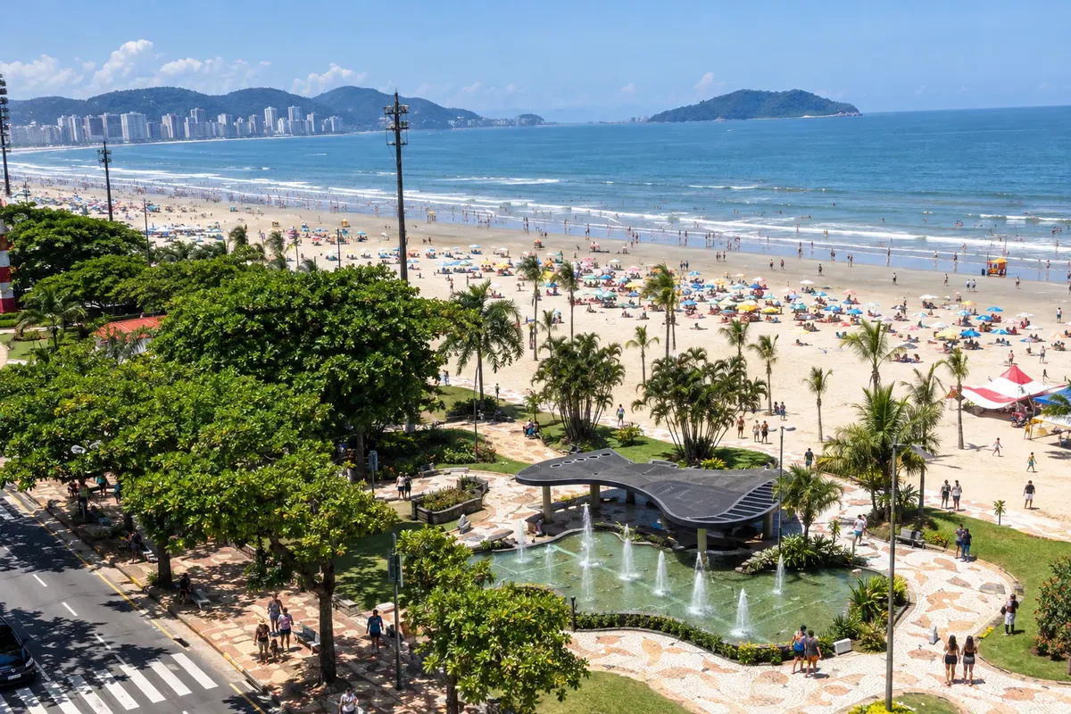 11 · SP
Santos
End of the tourist extension, with access from Guarujá by crossing. Arrange arrival to the urban area.
Fotografije popotnikov
Rio–Santos skozi oči popotnikov




Koliko dni
We suggest ten to fourteen days to choose activities and rotate bases without concentrating the trip on transfers. With less time, select a segment of the route. The duration is an editorial suggestion and depends on the beaches, visits and arrival and departure days.
Najboljši čas za obisk
Plan according to the weather forecast and the type of activity. Rain can change access conditions and outdoor activities. For beaches and boat trips, confirm sea conditions; for road sections and crossings, follow advisories close to departure.
The seasons shown are the most usual ones; nature doesn't always follow the calendar.
Kako prepotovati pot
Organize transfers along the BR-101 and SP-055 axis, with local accesses to towns and activities. For the Guarujá–Santos extension, check the ferry crossings. By car, check road conditions and the concessionaire's guidance; by bus, confirm each connection before finalizing bases.
Komu je pot namenjena
For those who enjoy coastal trips with beaches, heritage and stops in different towns. Choose activities according to the group's pace and needs; the route can be done in parts.
Odgovori na vaša vprašanja
Pogosta vprašanja – Rio–Santos
Do I need to visit all the towns?
No. The sequence helps organize a coastal trip, but you can choose a segment and lengthen your stay at preferred bases.
Is Guarujá on the continuous road route?
In this route, Guarujá appears as a tourist extension by crossing from Bertioga. That extension is differentiated from the main route in the text and on the map.
How do I continue from Guarujá to Santos?
There is a crossing between Guarujá and Santos. Check operations for the date and allow time for boarding and arrival to the urban area.
Are island trips included in the sections?
No. Transfers to the islands and boat tours must be arranged separately, according to local rules and conditions.
How many days should I book?
We suggest ten to fourteen days to select tours and bases. With less time, choose part of the route; duration depends on your pace and on transfers.
Is the map usable for navigation?
No. It shows relative positions and the sequence, with distances for crossings indicated separately. Check local navigation and orientation for actual access routes.
Več kot vodnik


