

 Antarktika
 Argentina
 Bolivija
 Čile
 Kolumbija
 Ekvator
 Gvajana
 Francoska Gvajana
 Falklandski otoki (Malvini)
 Paragvaj
 Peru
 Surinam
 Urugvaj
 Venezuela
 Nemčija
 Avstrija
 Belgija
 Hrvaška
 Danska
 Slovaška
 Slovenija
 Španija
 Finska
 Francija
 Grčija
 Nizozemska
 Madžarska
 Irska
 Islandija
 Italija
 Luksemburg
 Norveška
 Poljska
 Portugalska
 Združeno kraljestvo
 Češka
 Švedska
 Švica
 Turčija
 Bermudi
 Kanada
 Združene države Amerike
 Grenlandija
 Mehika
 Sveta Peter in Mihael
 Dominikanska republika
 Japonska
 Južnoafriška republika
 Egipt
 Avstralija
 Fidži
 Nova Zelandija
 Papua Nova Gvineja
Pot · MG
Circuit of the Waters of Minas
Mineral water resorts, museums, pilgrimages and coffee across 16 municipalities in South Minas, with a suggested sequence by car.
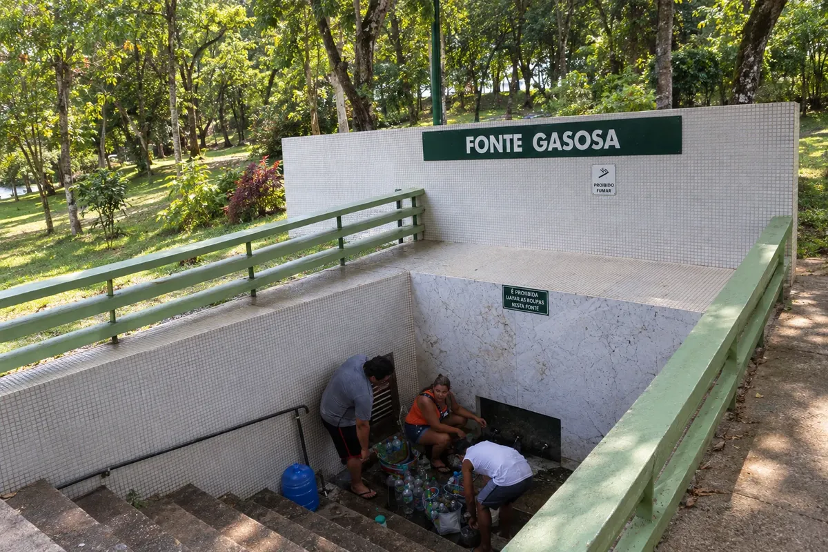
Na fotografiji: Carbonated Spring at the Parque das Águas de Cambuquira, in Cambuquira.
Illustrative images. The pictures in this guide are illustrations based on the real place, not photographs, and may differ from it.


Pot
Circuit of the Waters of Minas – predstavitev
In South Minas, the Circuit of the Waters brings together hydro-mineral resorts, religious heritage, museums, coffee growing and Mantiqueira landscapes. The parks of Cambuquira, Lambari, São Lourenço and Caxambu help trace the history of mineral waters; other stops add the memories of Pelé, Vital Brazil, pilgrimages and the railways. The trip covers 16 municipalities with different cultural experiences and landscapes.
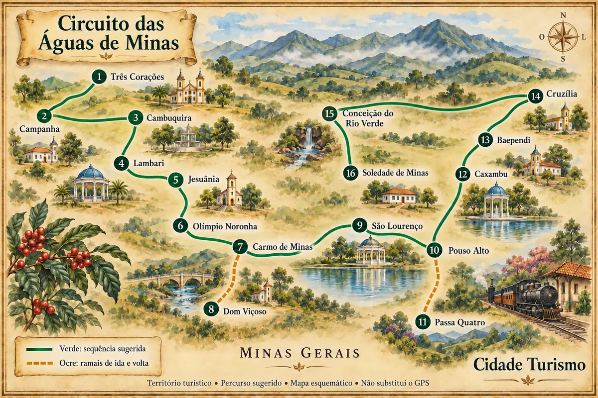
This road trip suggests a sequence of visits across the region’s sectors, with branch routes out-and-back to Dom Viçoso and Passa Quatro. It is a suggested way to organize the tour, not a single official route or an obligation to return to the starting point. Road conditions and rural accesses to attractions vary; the map numbering shows the suggested order for an initial visit to each municipality.
Zemljevid
Število mest na poti: 16
Zemljevid: @svg-maps/brazil, CC BY 4.0
Potek poti
Od mesta do mesta
Razdalje in časi so okvirni. Preverite jih pred odhodom.
-
 1 · MG
Três Corações
Pelé’s childhood and the history of football appear in Três Corações at the reconstructed Casa Pelé residence and at the Terra do Rei Museum, housed in the Casa da Cultura Godofredo Rangel. Parque Dondinho lets you add an outdoor walk to the memorial visit.
→ Campanha From Três Corações, use the connections to the BR-381 corridor and to BR-267 to reach Campanha. The BR-267 section to the historic center is listed as paved in the road registry.
-
 2 · MG
Campanha
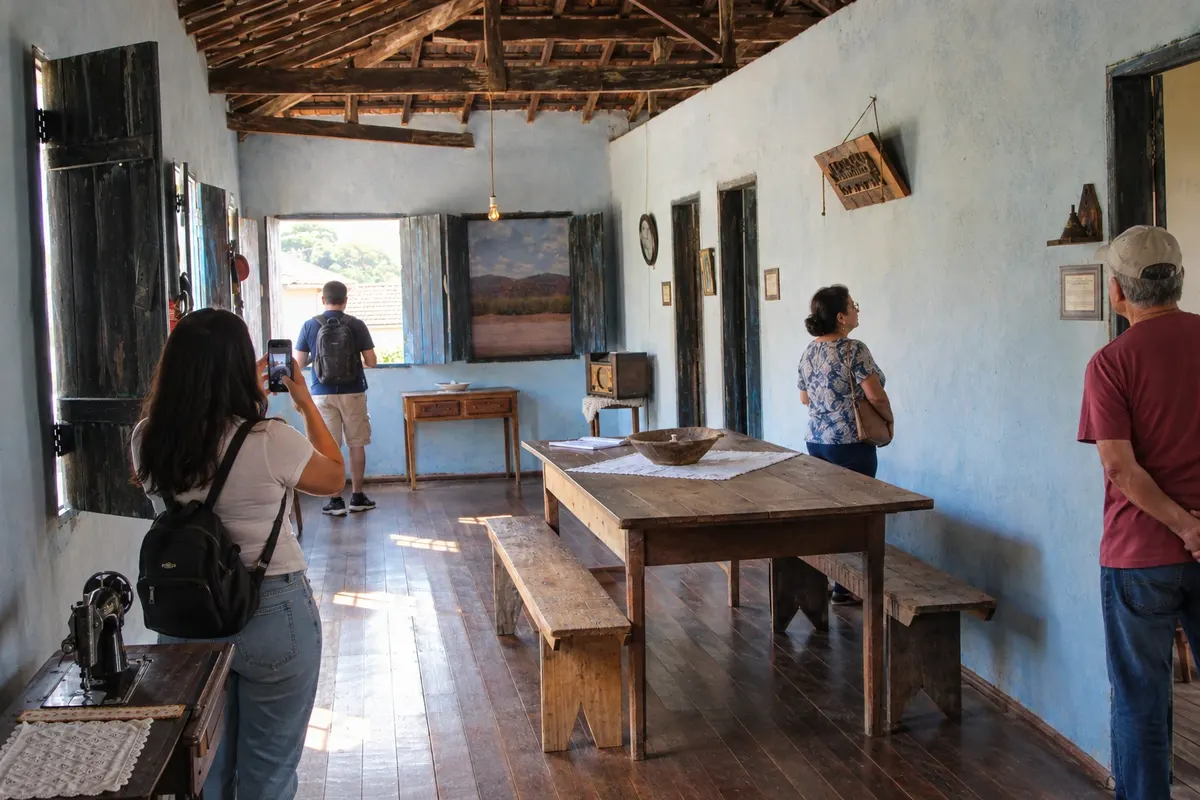
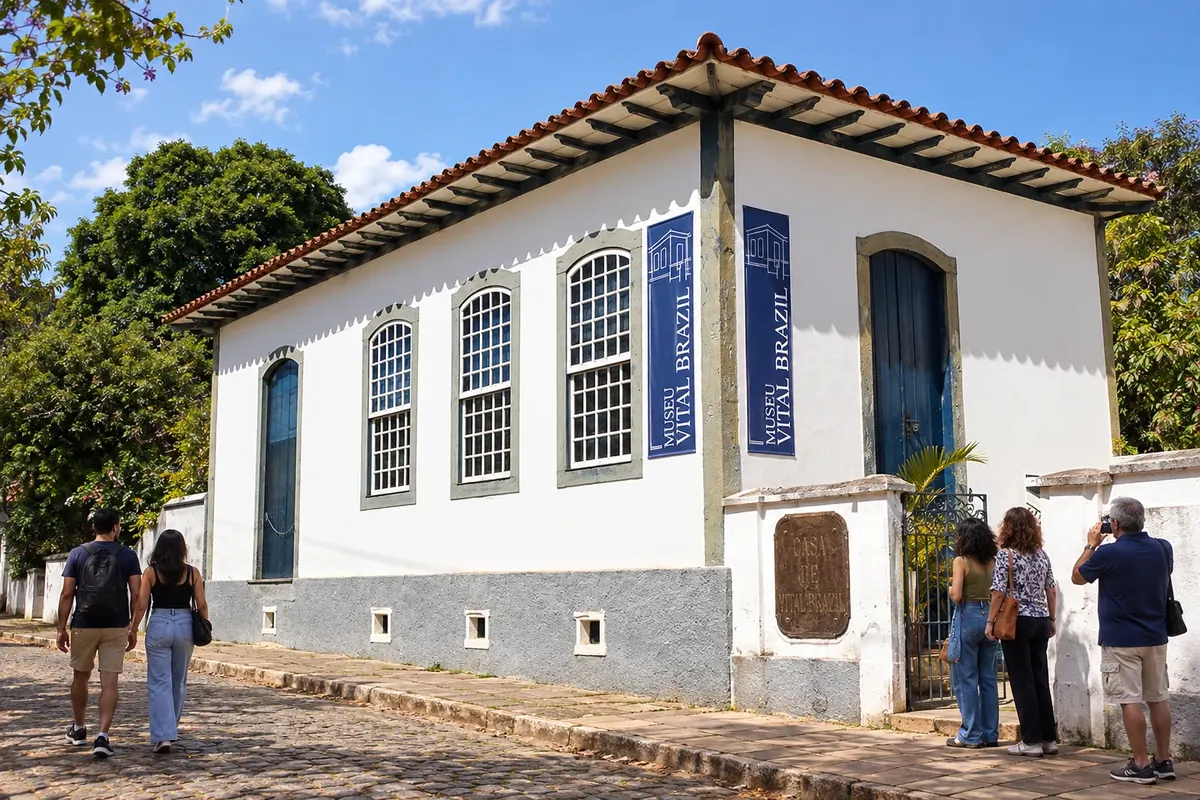
At the Campanha stop, plan separate times for the scientist’s documents at the Museu Casa de Vital Brazil and for the historic and sacred collection at the Museu Regional do Sul de Minas. The Catedral de Santo Antônio and the outlook from Morro do Cruzeiro offer different perspectives of the town.
→ Cambuquira Campanha and Cambuquira are linked by the paved BR-267 corridor, with approach to the town center via the connection to MG-167. The Marimbeiro springs require a separate transfer within the municipality.
-
 3 · MG
Cambuquira
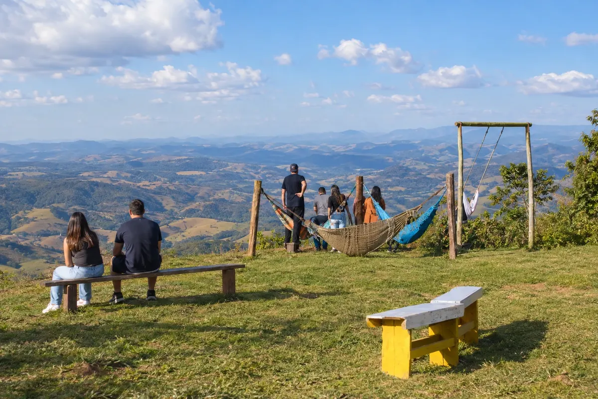
Cambuquira spreads the hydro-mineral visit between the spring pavilions of the Parque das Águas and the spring located in the Marimbeiro neighborhood. The dirt climb to Piripau provides a viewpoint; for a cultural experience, look for events announced at the old Sinhá Prado cinema.
→ Lambari The trip from Cambuquira to Lambari follows BR-267 to the junction with BR-460. The paved continuation along BR-460 brings the urban center closer to the spa town.
-
 4 · MG
Lambari
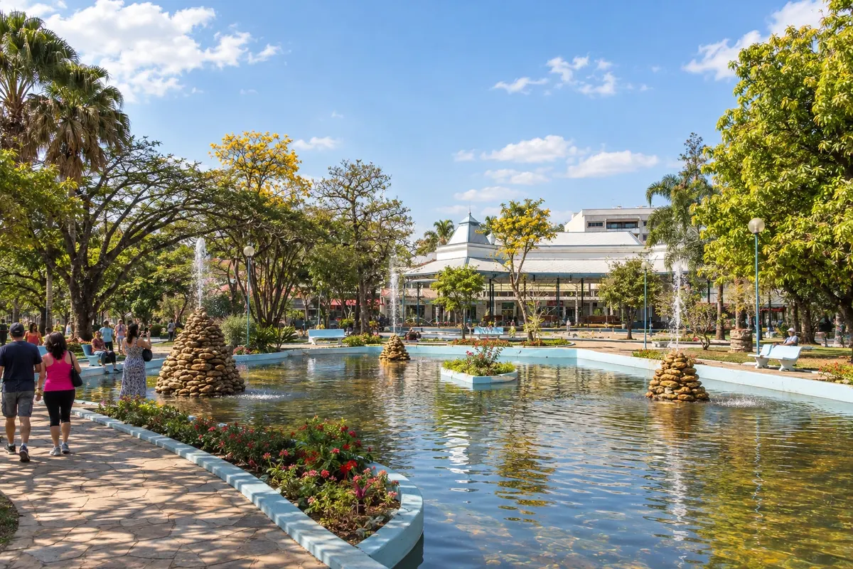
The 1911 building of the Cassino do Lago and the springs of the Parque das Águas show references of the Lambari resort. Nova Baden’s forest deserves a dedicated outing for its trails, while the Matriz Nossa Senhora da Saúde preserves the presence of the religious community.
→ Jesuânia Leaving Lambari, follow the paved BR-460 corridor and the local access to Jesuânia. The rural landscape accompanies the approach to the town center, identified by the Senhor Bom Jesus church.
-
 5 · MG
Jesuânia
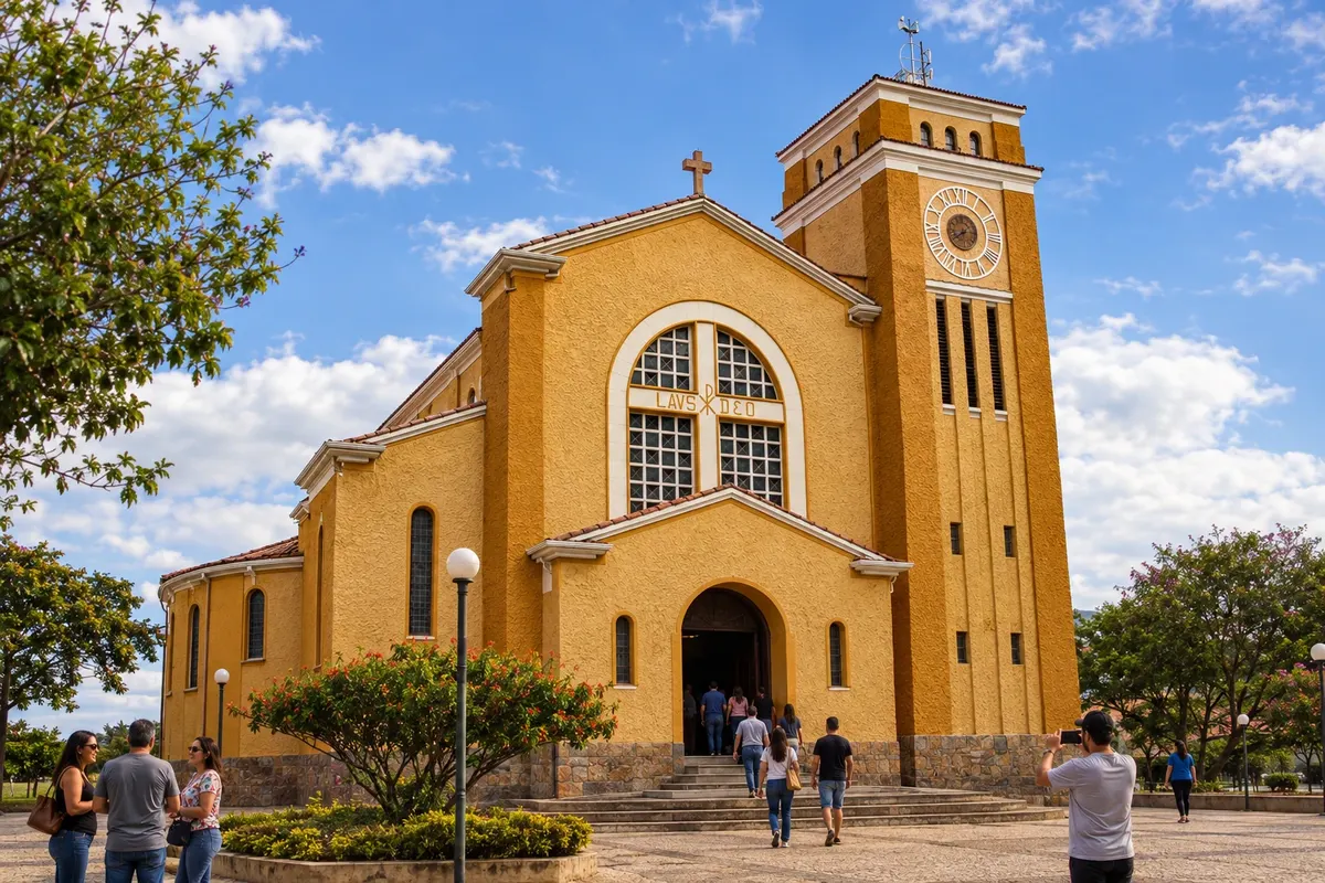
The church dedicated to Senhor Bom Jesus marks a tradition in Jesuânia. At Praça do Rosário, the congadas festival linked to São Pedro and São Paulo offers another expression of local devotion, depending on the edition’s calendar. The surrounding rural area adds to the stop’s landscape.
→ Olímpio Noronha From Jesuânia, rejoin BR-460 and use AMG-1055 to enter Olímpio Noronha. This access is listed as paved; the map line does not represent a direct link between the two town squares.
-
 6 · MG
Olímpio Noronha
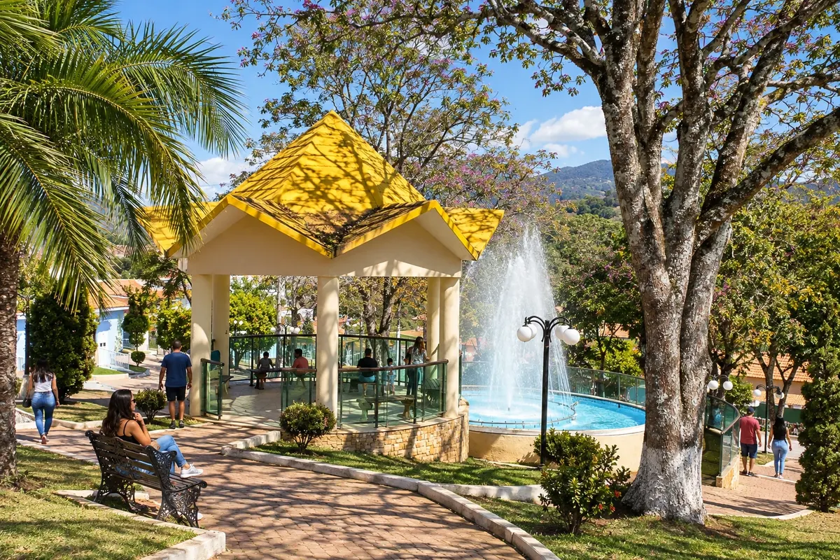
In Olímpio Noronha, use Praça Coronel Joaquim Gomes as a reference point to observe center life. The elevations of the Serra do Bugio help identify the surrounding scenery, without presuming entry onto any rural property.
→ Carmo de Minas Exiting Olímpio Noronha returns via AMG-1055 to the BR-460 corridor. Continue along the paved corridor toward Carmo de Minas, passing through the region's rural areas.
-
 7 · MG
Carmo de Minas
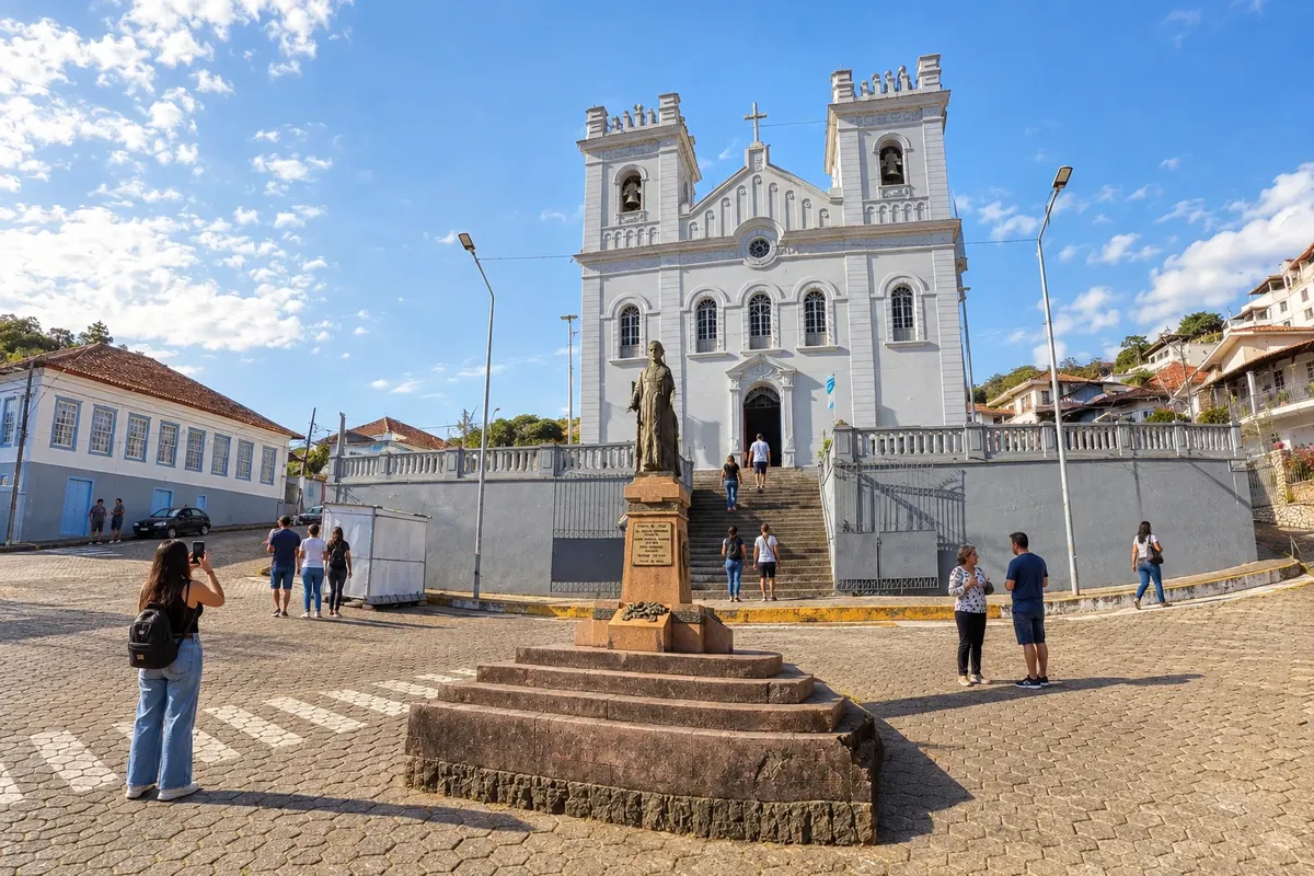
High-altitude coffee production gives identity to a visit to Carmo de Minas, with experiences at Fazenda Sertão that require prior arrangement. The town’s heritage includes the Matriz Nossa Senhora do Carmo and the local landmark bandstand of Chico Cascateiro.
→ Dom Viçoso For the Dom Viçoso branch, leave BR-460 and take LMG-883, a paved connection to the urban perimeter. The road access is separate from a visit to Pedra Riscada.
-
 8 · MG
Dom Viçoso
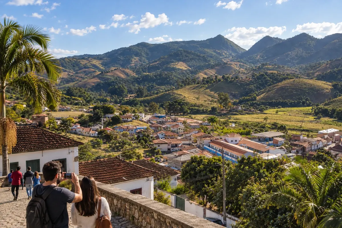
The Dom Viçoso branch brings you closer to the Pedra Riscada landscape and the religious life of the Paróquia Nossa Senhora do Rosário. To visit the outcrop, contact the person responsible for access; after the stop, the trip returns to the main corridor.
→ Carmo de Minas Return from Dom Viçoso via LMG-883 to the junction with BR-460 in the Carmo de Minas sector. The paved branch ends at that corridor, where the trip continues without another mandatory stop in the town center.
-
 9 · MG
São Lourenço
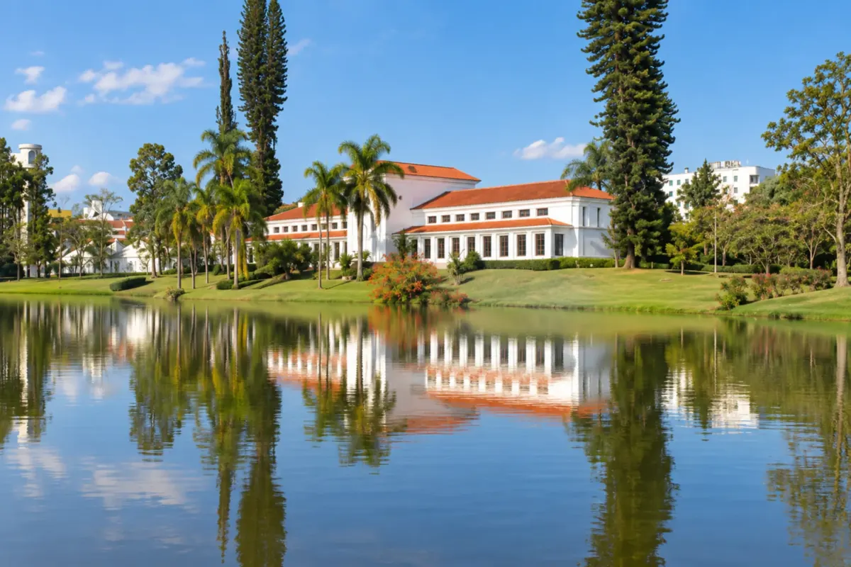
Pavilions of springs and gardens make up the visit to the Parque das Águas de São Lourenço. At the station, the Trem das Águas ride lets you experience another face of the resort, connected to the steam locomotive and railway heritage.
→ Pouso Alto Use the paved continuation of BR-460 between the São Lourenço sector and the junction with BR-354 to approach Pouso Alto. The Santana do Capivari district has its own heritage visit.
-
 10 · MG
Pouso Alto
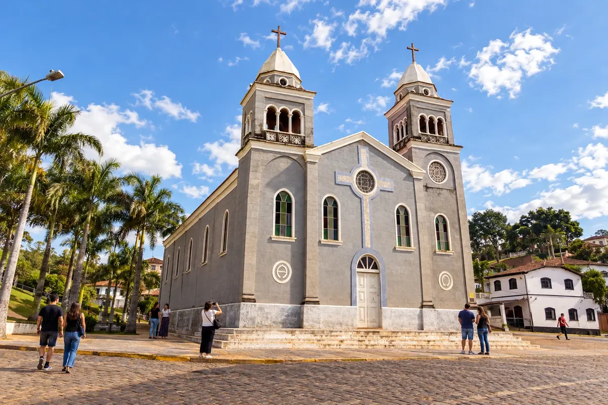
The former courthouse, now the mayor’s mansion, marks Pouso Alto’s administrative history. The Igreja de Santana in the Santana do Capivari district broadens the reading of municipal heritage, with its own access and opening times.
→ Passa Quatro The branch from Pouso Alto to Passa Quatro leaves BR-354 for MG-158 at Santana do Capivari. MG-158 is paved and passes through Itanhandu, which is a road passage and not a stop on this itinerary.
-
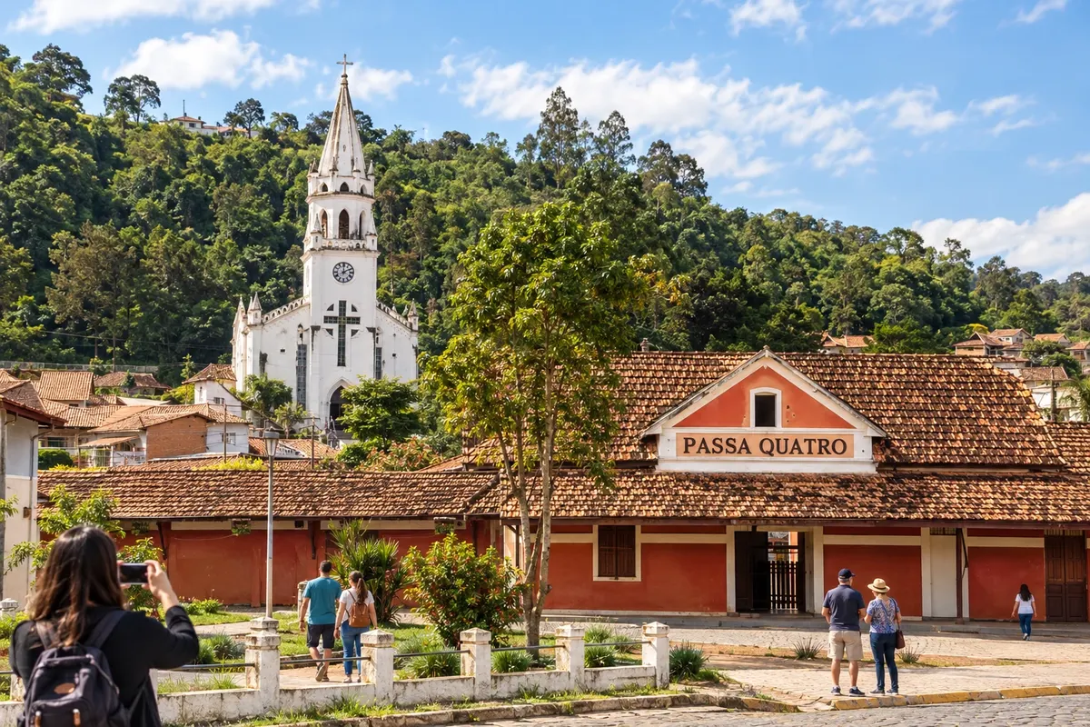 11 · MG
Passa Quatro
The Passa Quatro branch allows you to organize a visit to its Floresta Nacional and to learn about the railway references of the Túnel da Mantiqueira. The forest landscape and the memory of the tracks call for separate activities, according to the managers’ guidelines.
→ Pouso Alto Upon completing Passa Quatro, return via MG-158, passing through Itanhandu, to the junction with BR-354 in the Pouso Alto sector. The return uses the same paved approach corridor.
-
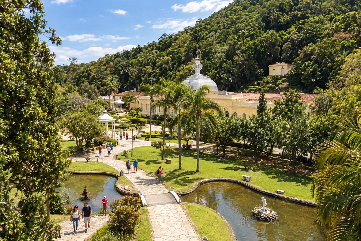 12 · MG
Caxambu
The pavilions of the springs in the Parque das Águas display Caxambu’s hydro-mineral heritage. The construction of the Igreja Santa Isabel da Hungria adds another experience of architecture and religiosity to the urban core.
→ Baependi Caxambu and Baependi have a local connection between nearby town centers. Make that road access to the Baependi center, keeping the transfer separate from rural departures to waterfalls.
-
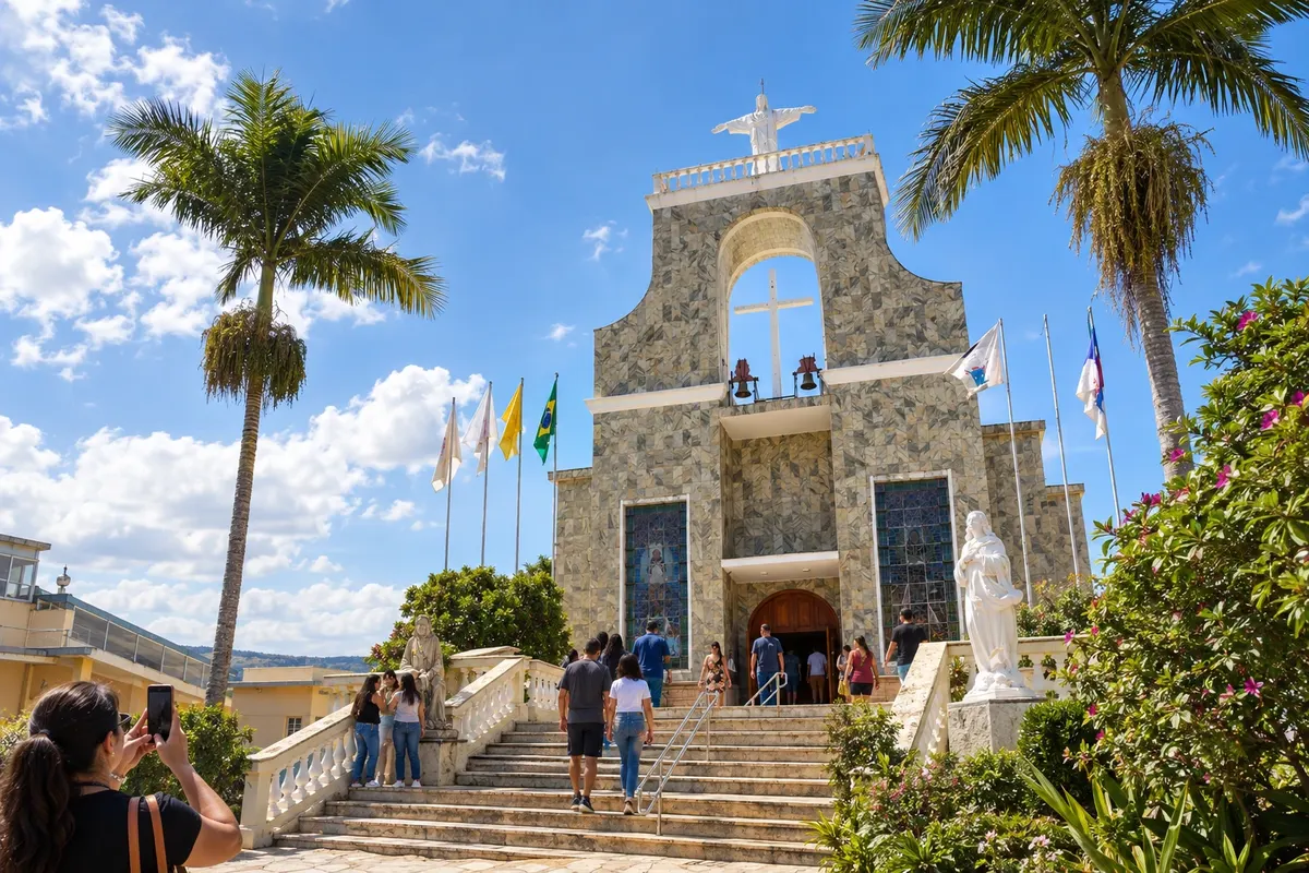 13 · MG
Baependi
Pilgrimages and religious memory find reference at the sanctuary dedicated to Nhá Chica in Baependi. the collection of objects and photographs at the Casa da Cultura Filomena Lara Leite offers a different visit, focused on municipal history.
→ Cruzília From Baependi, arrange the approach to Cruzília via the BR-267 corridor and the paved MGC-354 connection to the town center. The museum dedicated to the Mangalarga Marchador belongs to the next urban visit.
-
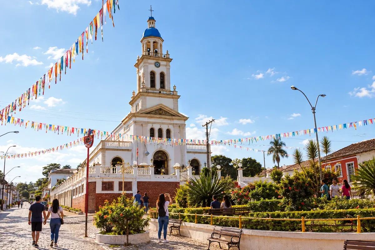 14 · MG
Cruzília
The Museu Nacional do Cavalo Mangalarga Marchador showcases a hallmark of horse breeding in Cruzília. The events of the Encontro de Folia de Reis add to the culture of popular celebrations when the trip coincides with the announced program.
→ Conceição do Rio Verde Leaving Cruzília uses MGC-354 toward BR-267. Continue along the regional corridor to AMG-1025, the paved access to Conceição do Rio Verde, not treating the map line as a direct road.
-
 15 · MG
Conceição do Rio Verde
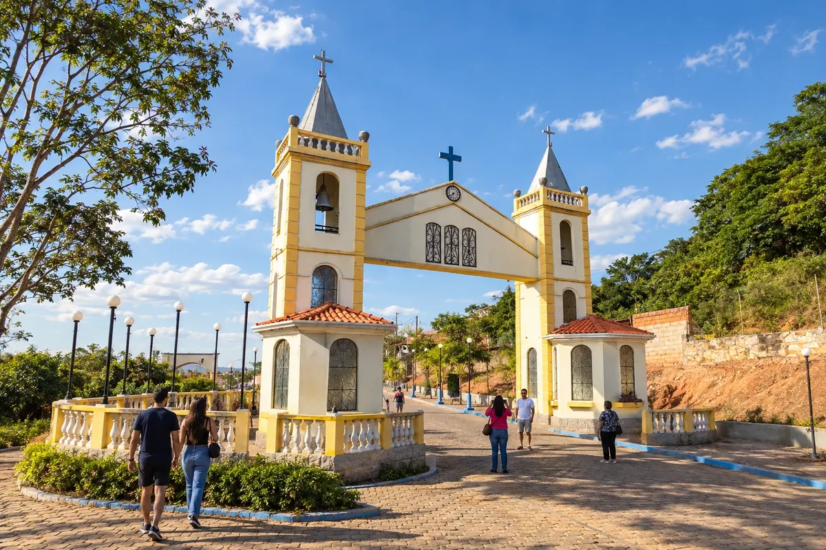
In Conceição do Rio Verde, the Contendas springs and the temple of the Basílica Menor Nossa Senhora da Conceição form two main axes for visits. The Jurumirim and Lemes waterfalls lie in different rural areas and require checking the access routes before setting out.
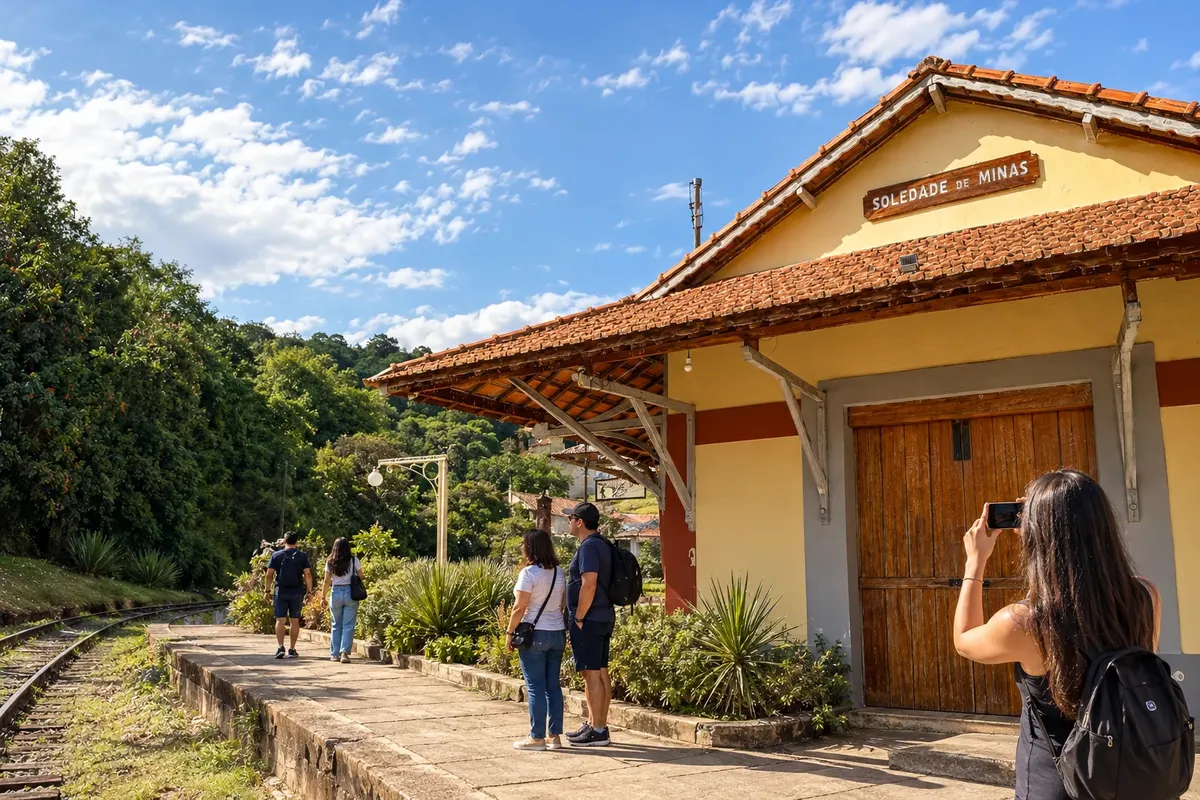
→ Soledade de Minas From Conceição do Rio Verde, rejoin AMG-1025 and BR-267 to reach the paved BR-383 corridor toward Soledade de Minas. The station marks the town visit; Cachoeira do Paiol has a separate rural access.
-
 16 · MG
Soledade de Minas
The collection at the Railway Museum, housed in the old station, and the records at the Casa da Cultura present the memory of Soledade de Minas. To finish with a rural scene, the Paiol offers a waterfall with its own access, subject to local conditions.
Koliko dni
Allow seven to ten days to visit the 16 stops. A shorter trip can focus on a single sector. The branch to Dom Viçoso and Passa Quatro and rural excursions need their own time allocation.
Najboljši čas za obisk
Choose the timing according to the activities: viewpoints and rural paths depend on the weather forecast and access conditions. Museums and cultural centers follow their own opening hours and programming; pilgrimages, congadas and local festivities require checking each edition’s calendar.
The seasons shown are the most usual ones; nature doesn't always follow the calendar.
Kako prepotovati pot
Follow the sequence by car or with organized transport. Dom Viçoso is a branch that returns to the Carmo de Minas sector; Passa Quatro returns to the Pouso Alto sector before continuing to Caxambu. Map lines are schematic and do not indicate direct roads between all points. The order arranges visits across the tourist territory, not a single official route.
Komu je pot namenjena
For those who want to learn the history of the resorts, the museums of South Minas, religious heritage and coffee-growing landscapes. Walks in Nova Baden and outings to viewpoints or waterfalls can be chosen according to travelers’ interests and mobility.
Odgovori na vaša vprašanja
Pogosta vprašanja – Circuit of the Waters of Minas
Is it mandatory to visit all 16 municipalities in one trip?
The sequence can be divided into sectors. Choose the visits you want to make and set up nearby bases, leaving time for museums and rural outings.
Is the circuit a single, official road?
The name identifies a tourist territory. This itinerary proposes a driving order between towns, using the regional road network.
Why are there two branches that return?
Dom Viçoso and Passa Quatro require leaving the main corridor. The planned continuation returns to the accesses for Carmo de Minas and Pouso Alto, respectively.
Are the mineral waters the only experience of the trip?
Museums dedicated to Pelé and Vital Brazil, religious heritage, railways, culture and coffee farming expand the itinerary beyond the hydro-mineral parks.
Can all rural excursions be done without prior contact?
Coffee farms and natural areas have different access conditions. Arrange private visits and check the managers' guidance before setting out.
Več kot vodnik


