

 Antarktika
 Argentina
 Bolivija
 Čile
 Kolumbija
 Ekvator
 Gvajana
 Francoska Gvajana
 Falklandski otoki (Malvini)
 Paragvaj
 Peru
 Surinam
 Urugvaj
 Venezuela
 Nemčija
 Avstrija
 Belgija
 Hrvaška
 Danska
 Slovaška
 Slovenija
 Španija
 Finska
 Francija
 Grčija
 Nizozemska
 Madžarska
 Irska
 Islandija
 Italija
 Luksemburg
 Norveška
 Poljska
 Portugalska
 Združeno kraljestvo
 Češka
 Švedska
 Švica
 Turčija
 Bermudi
 Kanada
 Združene države Amerike
 Grenlandija
 Mehika
 Sveta Peter in Mihael
 Dominikanska republika
 Japonska
 Južnoafriška republika
 Egipt
 Avstralija
 Fidži
 Nova Zelandija
 Papua Nova Gvineja
Pot · ES
Route of the Sea and the Mountains
From Vitória’s bay to the immigration settlements and the landscapes of Pedra Azul, a road itinerary through five municipalities of Espírito Santo.
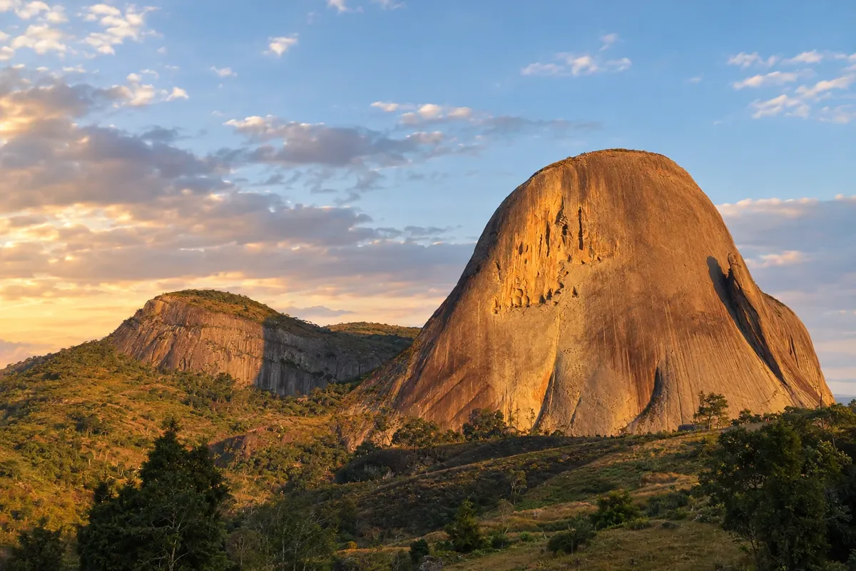
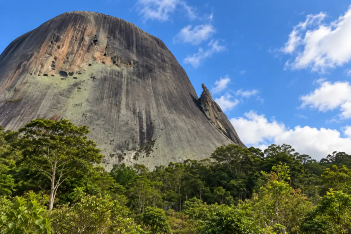
Na fotografiji: Pedra Azul, in Domingos Martins, Espírito Santo.
Illustrative images. The pictures in this guide are illustrations based on the real place, not photographs, and may differ from it.


Pot
Route of the Sea and the Mountains – predstavitev
The Route of the Sea and the Mountains links the capital of Espírito Santo with the mountainous interior. The route combines urban life along the bay with religious heritage, immigration history, and rural activities.
The suggested sequence starts in Vitória, visits Viana and the town center of Domingos Martins, continues through Marechal Floriano and ends in Venda Nova do Imigrante. BR-262 structures the trip, but Domingos Martins’ center is reached via a branch of ES-465. Further on, the road returns to that municipality’s territory in the Pedra Azul area.
The map is schematic. Visits to communities and cultural sites require separate arrangements, and Parque Estadual Pedra Azul admits visitors by appointment. The Rota do Lagarto can be an additional excursion, without creating another municipal stop.
Zemljevid
Število mest na poti: 5
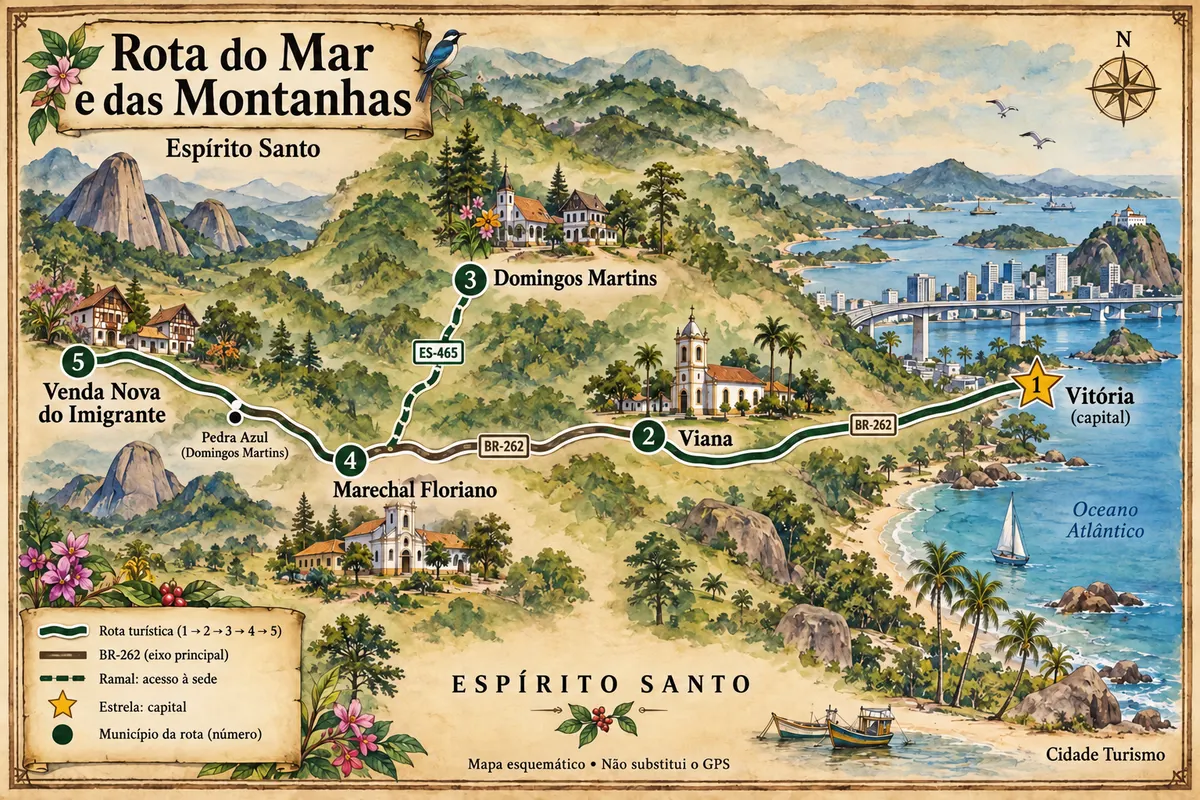
Zemljevid: @svg-maps/brazil, CC BY 4.0
Potek poti
Od mesta do mesta
Razdalje in časi so okvirni. Preverite jih pred odhodom.
-
 1 · ES
Vitória
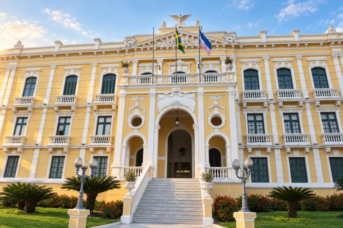
Vitória, the state capital, combines the bay and Camburi Beach with the heritage of the Historic Center. Palácio Anchieta evidences Jesuit presence, while the Paneleiras de Goiabeiras preserve the artisanal production of clay pots. Urban life and moqueca cuisine give substance to the start of the trip.
→ Viana Leave Vitória Island via the metropolitan road network and reach BR-262 through Cariacica, up to Viana. The connection combines urban access roads and a paved highway; Cariacica is a transit point, without a stop on this itinerary.
-
 2 · ES
Viana
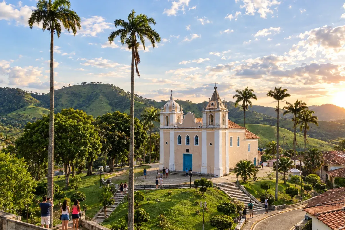
Viana preserves the Church of Nossa Senhora da Conceição, built by Azorean settlers, and the Jesuit complex of Araçatiba, with the Church of Nossa Senhora d’Ajuda and its interpretive center. The ruins of Belém and the Mirante da Biquinha broaden the visit between religious heritage and the municipality’s valleys.
→ Domingos Martins BR-262 departs from Viana and climbs into the mountain landscape. To reach Campinho, the seat of Domingos Martins, leave the federal highway and take the paved access of ES-465; the town center is not on the BR-262 verge.
-
 3 · ES
Domingos Martins
Domingos Martins brings together the Evangelical Church of Lutheran Confession and the House of Culture in the Campinho nucleus. In the Pedra Azul area, the rock formation and Parque Estadual Pedra Azul define a different landscape within the same municipality. The town center requires a detour from BR-262; Pedra Azul appears later along the road axis.
→ Marechal Floriano Return from Domingos Martins’ town center via ES-465 to the junction with BR-262 and continue to Marechal Floriano. The transfer retraces the access branch before proceeding along the paved federal highway.
-
 4 · ES
Marechal Floriano
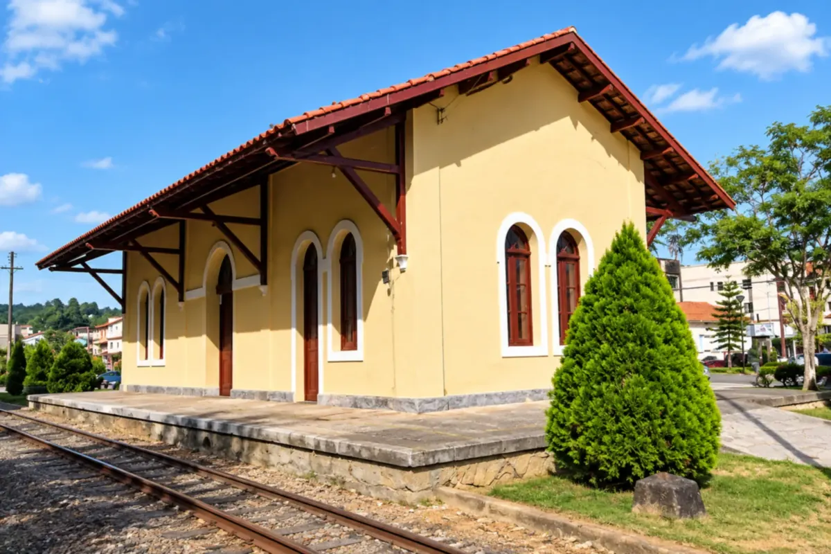
Marechal Floriano preserves at the Railway Station a collection linked to immigration and the railroad. Zoo Park da Montanha carries out conservation and environmental education activities, and Vila de Araguaya preserves the memory of Italian colonization. The town center is part of the BR-262 mountain route.
→ Venda Nova do Imigrante Continue on BR-262, passing Victor Hugo and the Pedra Azul area in Domingos Martins before Venda Nova do Imigrante. The paved stretch crosses mountains; the Rota do Lagarto is a local excursion separate from the main axis.
-
 5 · ES
Venda Nova do Imigrante
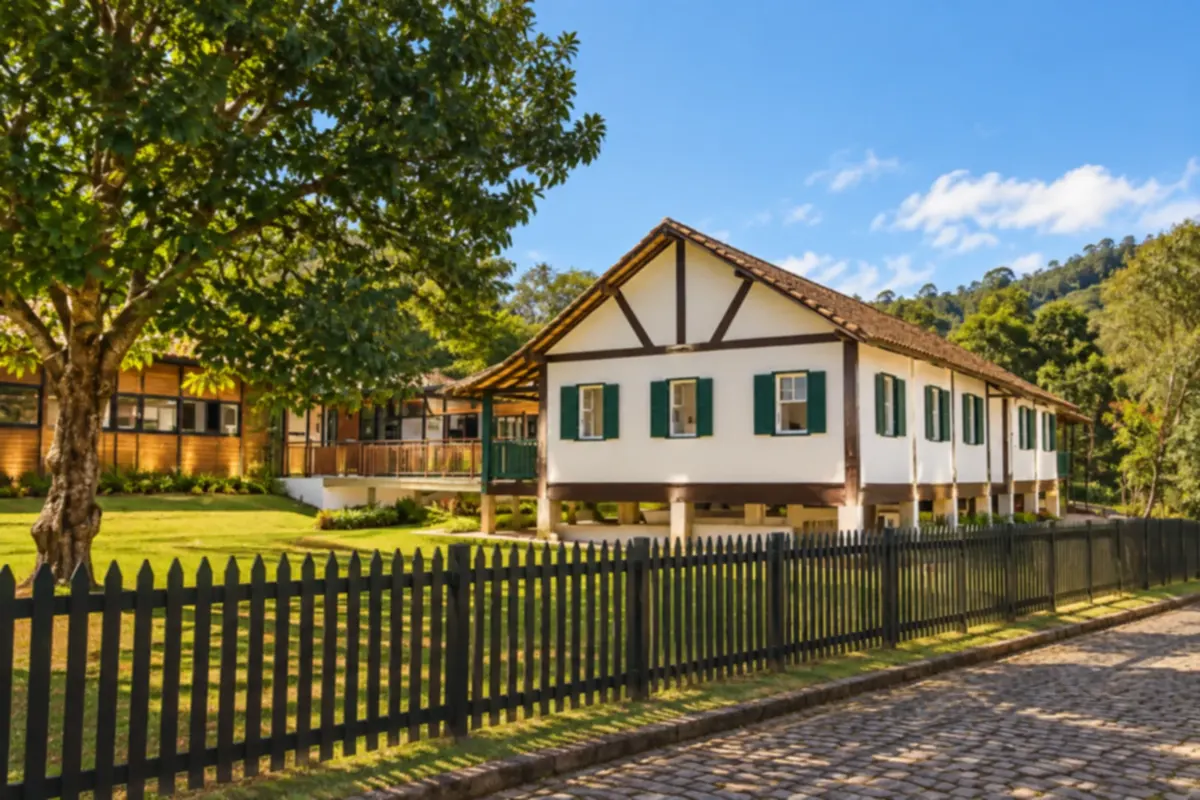
Venda Nova do Imigrante features agritourism as part of rural life and the identity of its families. Pedra do Rego and Lago de Alto Bananeiras are landscape references; the Festa da Polenta expresses the Italian tradition. The end of the itinerary reserves time for rural communities and the accesses that branch off BR-262.
Koliko dni
Allow three to five days as a planning suggestion, allocating time for the capital, Viana’s heritage, and the mountain excursions. Hikes and rural visits may require a longer stay.
Najboljši čas za obisk
Days with stable weather forecasts favor mountain views. Winter usually draws visitors to the highland region; rain and fog can affect hikes and visibility along the route.
The seasons shown are the most usual ones; nature doesn't always follow the calendar.
Kako prepotovati pot
Follow the metropolitan access roads from Vitória, reach Viana and continue on BR-262. Visit Campinho via the ES-465 branch, return to the federal highway and proceed through Marechal Floriano, Pedra Azul and Venda Nova do Imigrante. Local transfers to Araçatiba and rural excursions should be planned separately.
Komu je pot namenjena
For travelers who combine urban history, immigration culture, and mountain scenery on a trip by car or hired transport. Trails and hikes are optional activities, chosen according to visitors’ fitness and preparation.
Odgovori na vaša vprašanja
Pogosta vprašanja – Route of the Sea and the Mountains
Is Pedra Azul a sixth town on the route?
Pedra Azul is in the municipality of Domingos Martins. The locality appears as a reference on the map and in the text for that stop, without being registered as a municipality.
Is Domingos Martins’ town center on BR-262?
Campinho is reached via a branch of ES-465. After the visit, the route returns to the same junction to continue on BR-262.
Does this route include the entire Rota do Lagarto?
O Lagarto is a local itinerary in the Pedra Azul area. It can be added to the outing, but it does not replace the connection among the five municipalities.
Can the visit to Parque Estadual Pedra Azul be spontaneous?
Visits require an appointment. Confirm the park’s availability and guidelines before going.
Več kot vodnik


