

 Antarktika
 Argentina
 Bolivija
 Čile
 Kolumbija
 Ekvator
 Gvajana
 Francoska Gvajana
 Falklandski otoki (Malvini)
 Paragvaj
 Peru
 Surinam
 Urugvaj
 Venezuela
 Nemčija
 Avstrija
 Belgija
 Hrvaška
 Danska
 Slovaška
 Slovenija
 Španija
 Finska
 Francija
 Grčija
 Nizozemska
 Madžarska
 Irska
 Islandija
 Italija
 Luksemburg
 Norveška
 Poljska
 Portugalska
 Združeno kraljestvo
 Češka
 Švedska
 Švica
 Turčija
 Bermudi
 Kanada
 Združene države Amerike
 Grenlandija
 Mehika
 Sveta Peter in Mihael
 Dominikanska republika
 Japonska
 Južnoafriška republika
 Egipt
 Avstralija
 Fidži
 Nova Zelandija
 Papua Nova Gvineja
Pot · MG · RJ
Estrada Real – Caminho Novo (New Route)
Between the mines and Guanabara Bay, the Caminho Novo connects Ouro Preto to Porto Estrela and is historically completed in Rio de Janeiro.
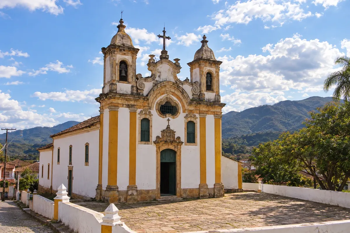
Na fotografiji: Igreja Matriz de Santo Antônio, Ouro Branco, MG
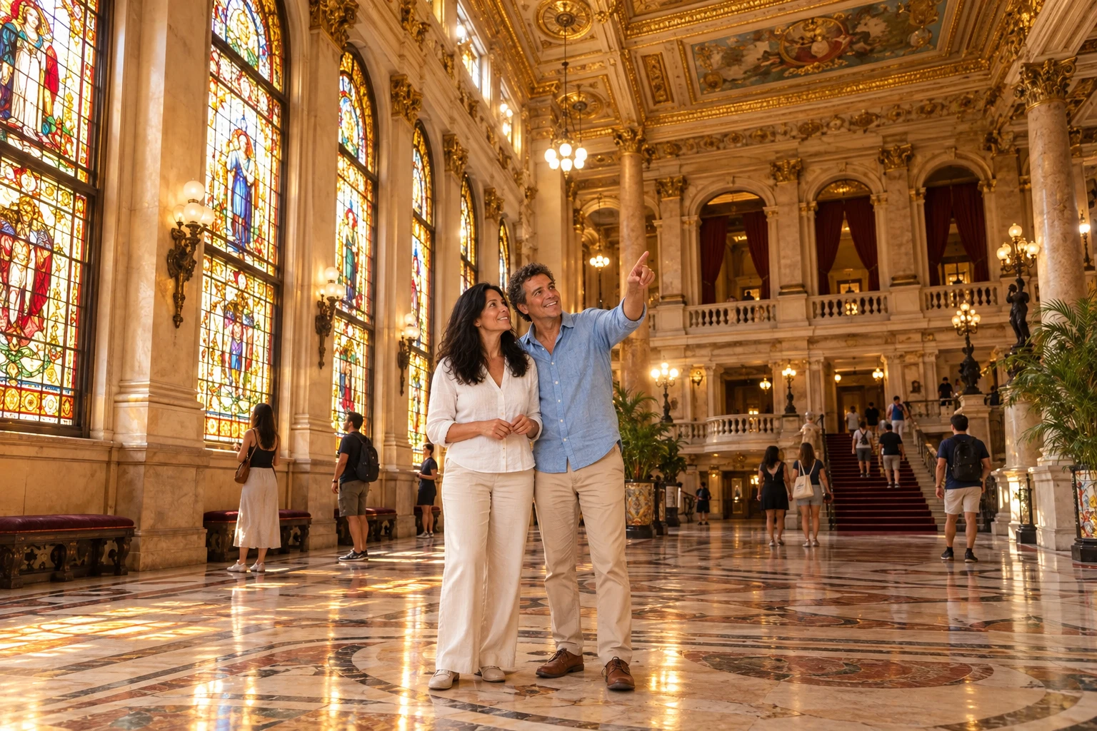
Illustrative images. The pictures in this guide are illustrations based on the real place, not photographs, and may differ from it.


Pot
a Estrada Real – Caminho Novo (New Route) – predstavitev
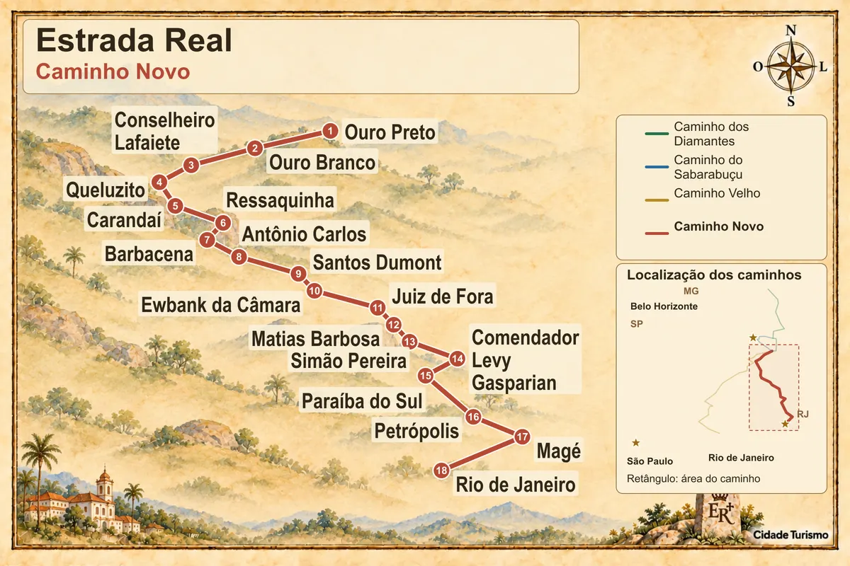
The Caminho Novo was born as an alternative to the Caminho Velho for the connection between the mining region and the coast. In this route, the trip departs from Ouro Preto, crosses the interior of Minas Gerais and reaches the state of Rio de Janeiro via the Rio Paraibuna region.
Ouro Branco, Barbacena and Santos Dumont help divide the first part of the route. Further on, Juiz de Fora, Simão Pereira and Mont Serrat provide references of colonial circulation and oversight. Districts are grouped under the municipalities to which they belong.
The continuation through Paraíba do Sul reaches Secretário and Petrópolis before the descent via the Serra Velha da Estrela. In Magé, Porto Estrela is the final point of the itinerary charted by the Instituto Estrada Real. The city of Rio de Janeiro figures as the historical end of the connection to the coast.
The 515 km published by the Institute correspond to the official route up to Porto Estrela. The extension to the state capital is not included in that measure. Prepare each link according to the chosen means of transport: there are trails, detours and highway segments without a shoulder.
Zemljevid
Število mest na poti: 18
Zemljevid: @svg-maps/brazil, CC BY 4.0
Potek poti
Od mesta do mesta
Razdalje in časi so okvirni. Preverite jih pred odhodom.
-
 1 · MG
Ouro Preto
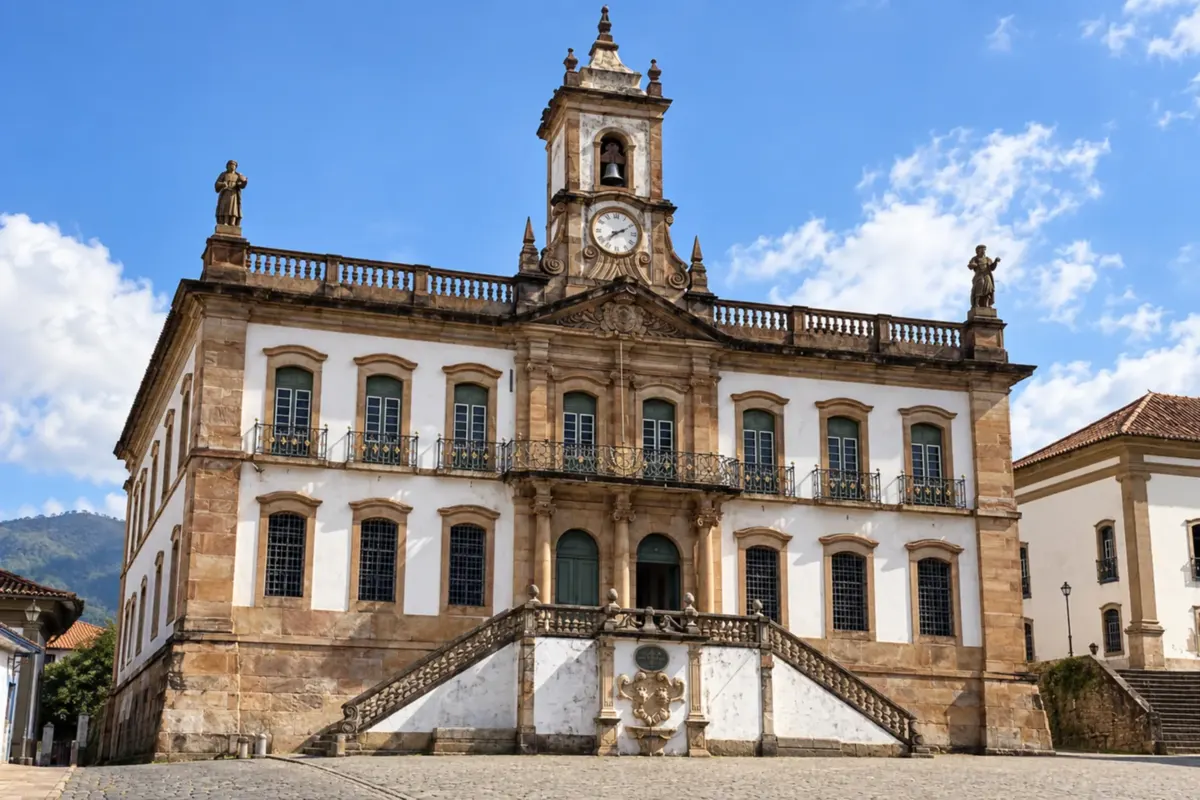
Ouro Preto begins the Caminho Novo with the passage through the Itacolomi region, Lavras Novas, Chapada and Itatiaia. Accesses for hiking and for car differ on this mountain exit.
→ Ouro Branco On the Caminho Novo, the historic departure from Ouro Preto passes through the Itacolomi area, Lavras Novas, Chapada and Itatiaia before reaching Ouro Branco. There are trails that do not admit cars and a mountain crossing with little shade; road travel should use the proper accesses of those localities.
-
 2 · MG
Ouro Branco
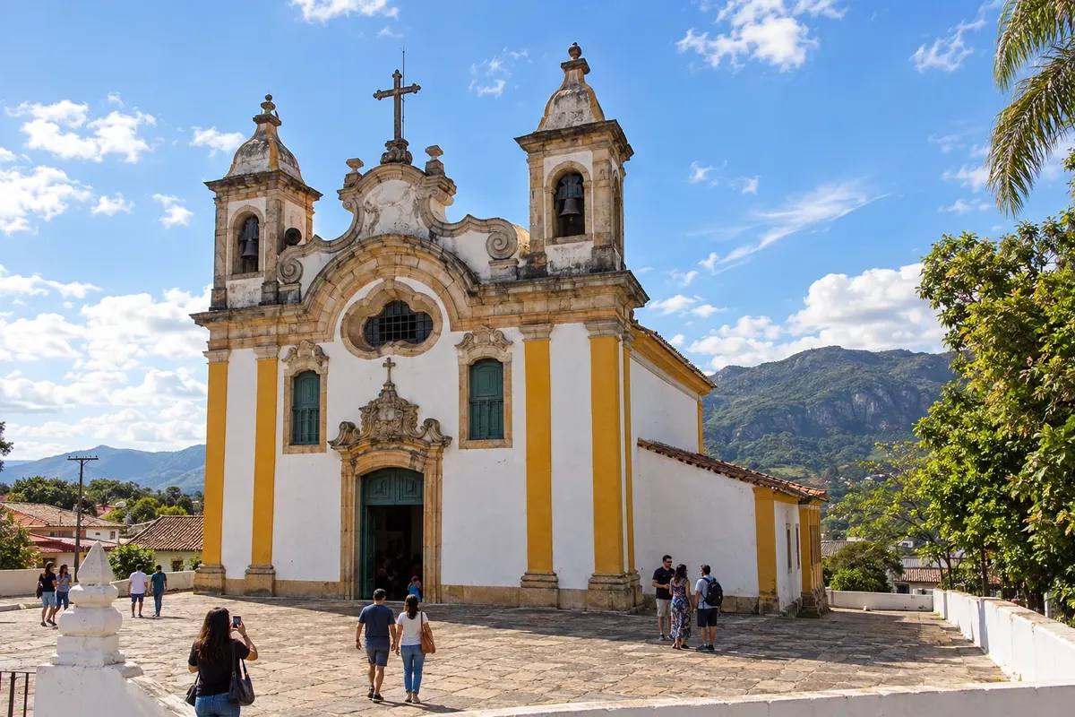
Ouro Branco offers references to the Caminho Novo at the former Fazenda Carreiras, known as the Casa de Tiradentes. The Igreja Matriz de Santo Antônio is also part of the local heritage.
→ Conselheiro Lafaiete The link between Ouro Branco and Conselheiro Lafaiete mixes asphalt and dirt over gently rolling terrain. The route features references to the former Fazenda Carreiras, known as the Casa de Tiradentes, and the Estalagem da Varginha area, associated with the history of the Caminho Novo.
-
 3 · MG
Conselheiro Lafaiete
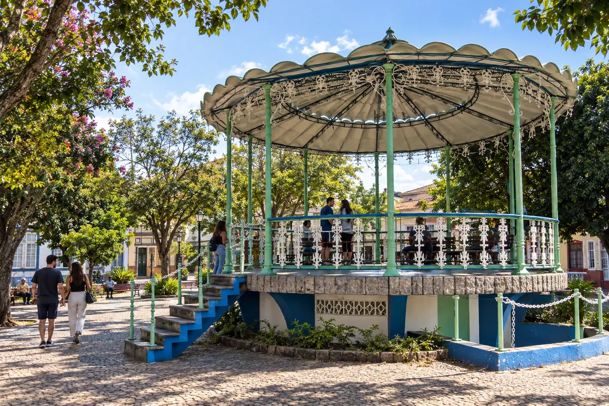
Conselheiro Lafaiete precedes Queluzito, in the region historically associated with the Real Vila de Queluz. They are different municipalities; identify the seat of each stop before you set out.
→ Queluzito From Conselheiro Lafaiete, the Caminho Novo continues to Queluzito, formerly Santo Amaro, a municipality connected to the history of the Royal Town of Queluz. Use Queluzito as the destination for this stage; similar names do not indicate the same municipal seat.
-
 4 · MG
Queluzito
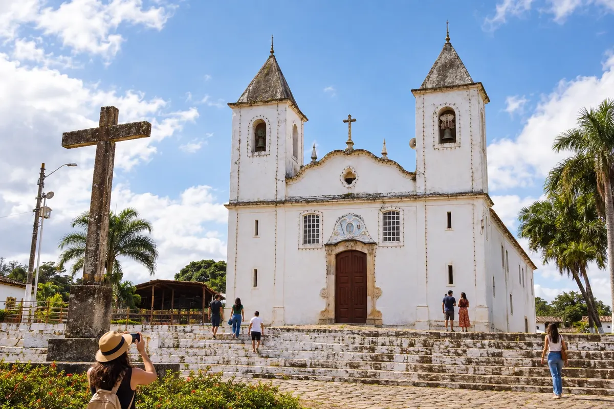
Queluzito, formerly Santo Amaro, continues toward Carandaí along the historic axis near railway branches. The route moves away from the urban area of Cristiano Otoni.
→ Carandaí Between Queluzito and Carandaí, the historic route runs away from the urban area of Cristiano Otoni and crosses a region marked by railway branches. There is an indication of an interruption at a stream crossing; confirm the detour and any permission to cross private property before continuing.
-
 5 · MG
Carandaí
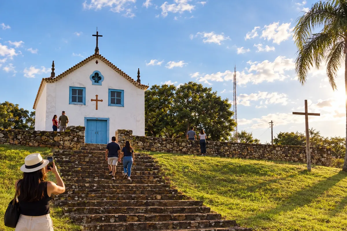
Carandaí includes Hermílio Alves and the Capela Nossa Senhora da Glória among the references of the rural passage. The next municipal stop is Ressaquinha.
→ Ressaquinha The stage from Carandaí to Ressaquinha starts on flatter ground and then alternates climbs and descents. Hermílio Alves and Ressaca are route reference points, with the Chapel of Nossa Senhora da Glória part of Carandaí’s rural heritage.
-
 6 · MG
Ressaquinha
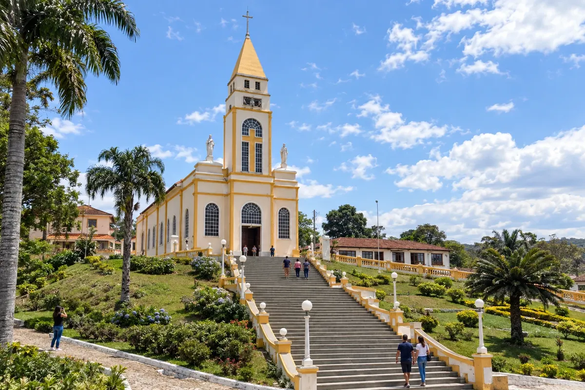
Ressaquinha marks the continuation to Barbacena via a stretch of dirt and asphalt. Alfredo Vasconcelos appears on the route between the two municipalities.
→ Barbacena From Ressaquinha to Barbacena, the route mixes dirt and paved roads, with open areas and little shade. Passing through Alfredo Vasconcelos adds railway references before reaching Barbacena’s urban area.
-
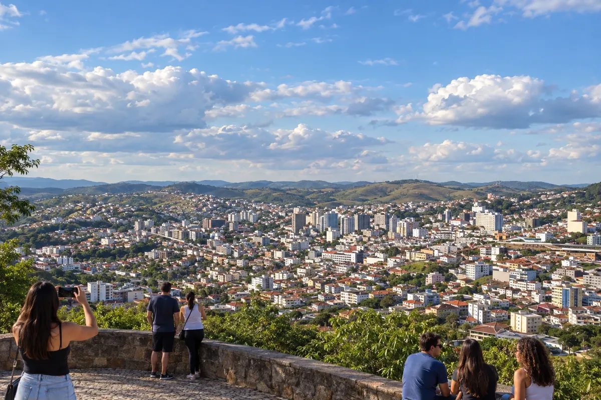 7 · MG
Barbacena
Barbacena comes before Antônio Carlos on the Caminho Novo. The departure alternates between paved road and dirt track; walkers and cyclists need to consider segments without a shoulder.
→ Antônio Carlos Barbacena and Antônio Carlos are linked by a stage that combines pavement and a section of dirt road. Paved segments without a shoulder require caution for walkers and cyclists; the arrival is marked by the railway station as a reference for Antônio Carlos’s formation.
-
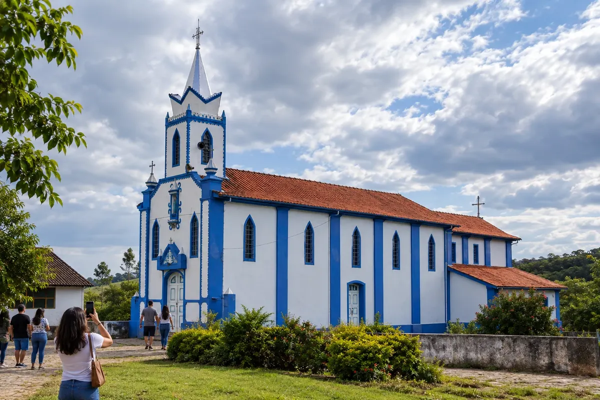 8 · MG
Antônio Carlos
Antônio Carlos has the railway station as a reference in its urban formation. The continuation to Santos Dumont passes through the Patrimônio dos Paivas region.
→ Santos Dumont Between Antônio Carlos and Santos Dumont, the historic route passes through the Patrimônio dos Paivas region and is referenced by the farms Borda do Campo and Cabangu. The connection is long for walking; arrange support in confirmed localities and do not rely on spontaneous visits to private properties.
-
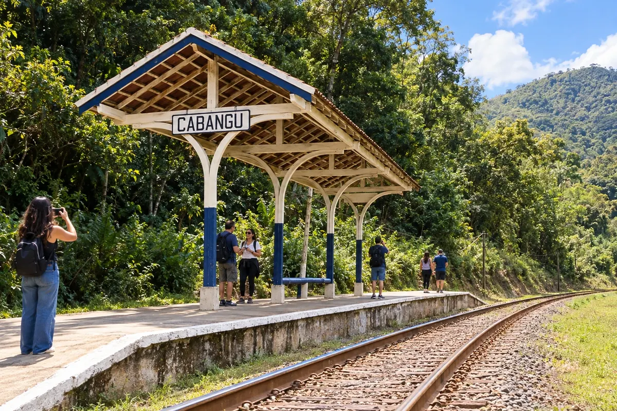 9 · MG
Santos Dumont
Santos Dumont brings together the memory of Alberto Santos Dumont at the Museu do Cabangu. To continue to Ewbank da Câmara, check for changes to the rural route.
→ Ewbank da Câmara From Santos Dumont to Ewbank da Câmara, dirt roads between farms predominate, with parts of trail and pavement. The stage has a route change at a degraded trail; check the alternative and the condition of the rural surface, especially after rain.
-
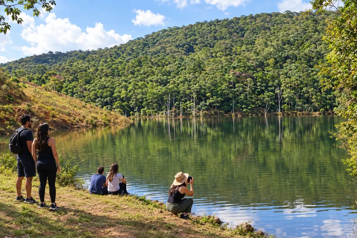 10 · MG
Ewbank da Câmara
Ewbank da Câmara precedes Juiz de Fora. The Instituto Estrada Real maintains a notice of a detour due to a closed gate; prepare your navigation and follow the spreadsheet alternative.
→ Juiz de Fora The stage from Ewbank da Câmara to Juiz de Fora has a detour where a trail entrance is closed with a padlock. The continuation includes passage along BR-040 and the access toward Barreira do Triunfo; prepare navigation for the section without markers and do not attempt to use the old gate.
-
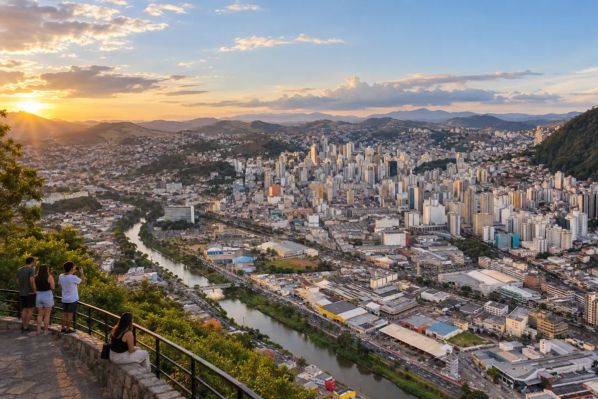 11 · MG
Juiz de Fora
Juiz de Fora is the stop before Matias Barbosa. The next stage is mainly paved with small changes in relief, and includes sections without a shoulder.
→ Matias Barbosa The stage from Juiz de Fora to Matias Barbosa is predominantly paved and alternates small climbs and descents. Even away from busier traffic, there are segments without a shoulder; the arrival in Matias Barbosa brings the route close to heritage sites linked to the Paraibuna River.
-
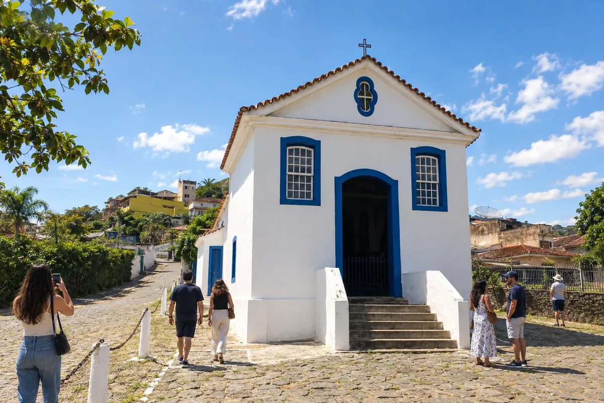 12 · MG
Matias Barbosa
Matias Barbosa is part of the link toward Simão Pereira and Mont Serrat. This part of the Caminho Novo brings the trip closer to the Rio Paraibuna and the state border.
→ Simão Pereira The departure from Matias Barbosa to Simão Pereira is part of the paved link of the Caminho Novo toward Mont Serrat. The route has small undulations and sections without a shoulder; in Simão Pereira, the Casarão do Registro is a landmark of colonial administration.
-
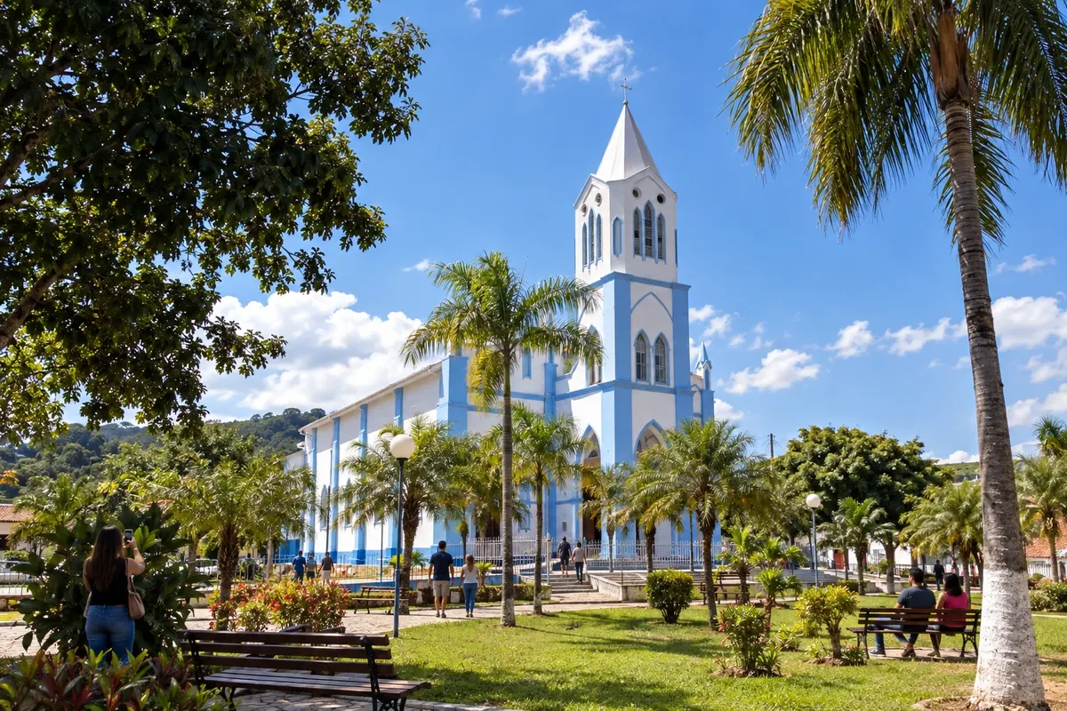 13 · MG
Simão Pereira
Simão Pereira preserves the Casarão do Registro, linked to colonial oversight. The continuation crosses the Rio Paraibuna to reach Mont Serrat in the state of Rio de Janeiro.
→ Comendador Levy Gasparian From Simão Pereira, the continuation to Mont Serrat crosses the Paraibuna River on the border between Minas Gerais and Rio de Janeiro. Mont Serrat belongs to Comendador Levy Gasparian and is referenced by the Rodoviary Museum; do not confuse it with an independent city.
-
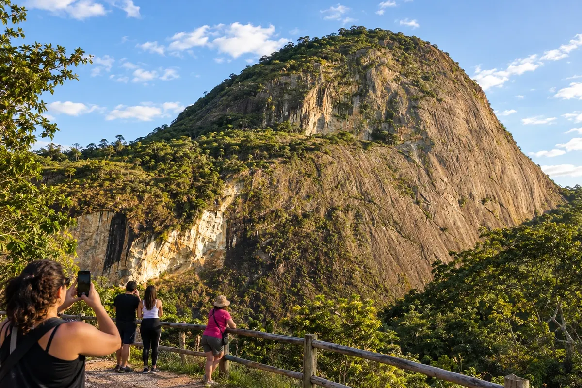 14 · RJ
Comendador Levy Gasparian
Comendador Levy Gasparian brings together Mont Serrat and the Museu Rodoviário in the historic passage. The district belongs to this municipality; Paraíba do Sul is the next stop.
→ Paraíba do Sul Between Mont Serrat, in Comendador Levy Gasparian, and Paraíba do Sul, the historic route follows a dirt road, with predominantly flat relief and small climbs and descents. The arrival allows continuation to the urban heritage of the resort town.
-
 15 · RJ
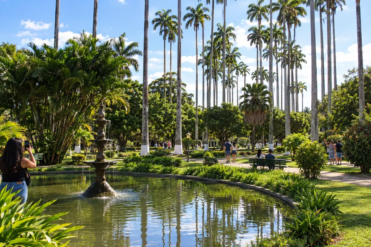
Paraíba do Sul
Paraíba do Sul precedes the passage through Queima Sangue, Inconfidência and Secretário. The trip continues toward the municipality of Petrópolis, with dirt roads and paved sections.
→ Petrópolis From Paraíba do Sul to Petrópolis, the Caminho Novo goes through Queima Sangue, Inconfidência and Secretário, then continues through Itaipava. The section after Secretário is paved and crosses BR-040, with stretches lacking a shoulder; plan this crossing with attention to traffic.
-
 16 · RJ
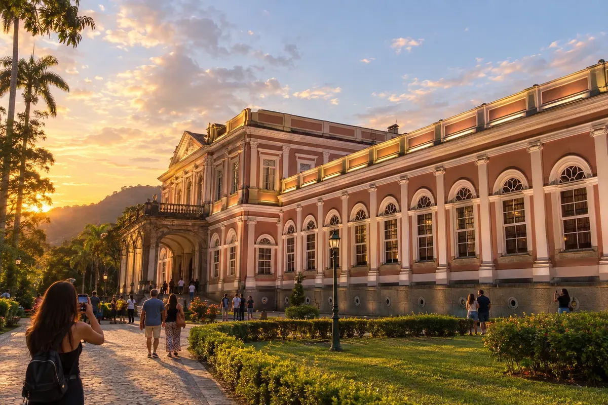
Petrópolis
Petrópolis includes Secretário and Itaipava on the Caminho Novo. The city also allows visits to the Museu Imperial; the historic descent to Magé uses the Serra Velha da Estrela.
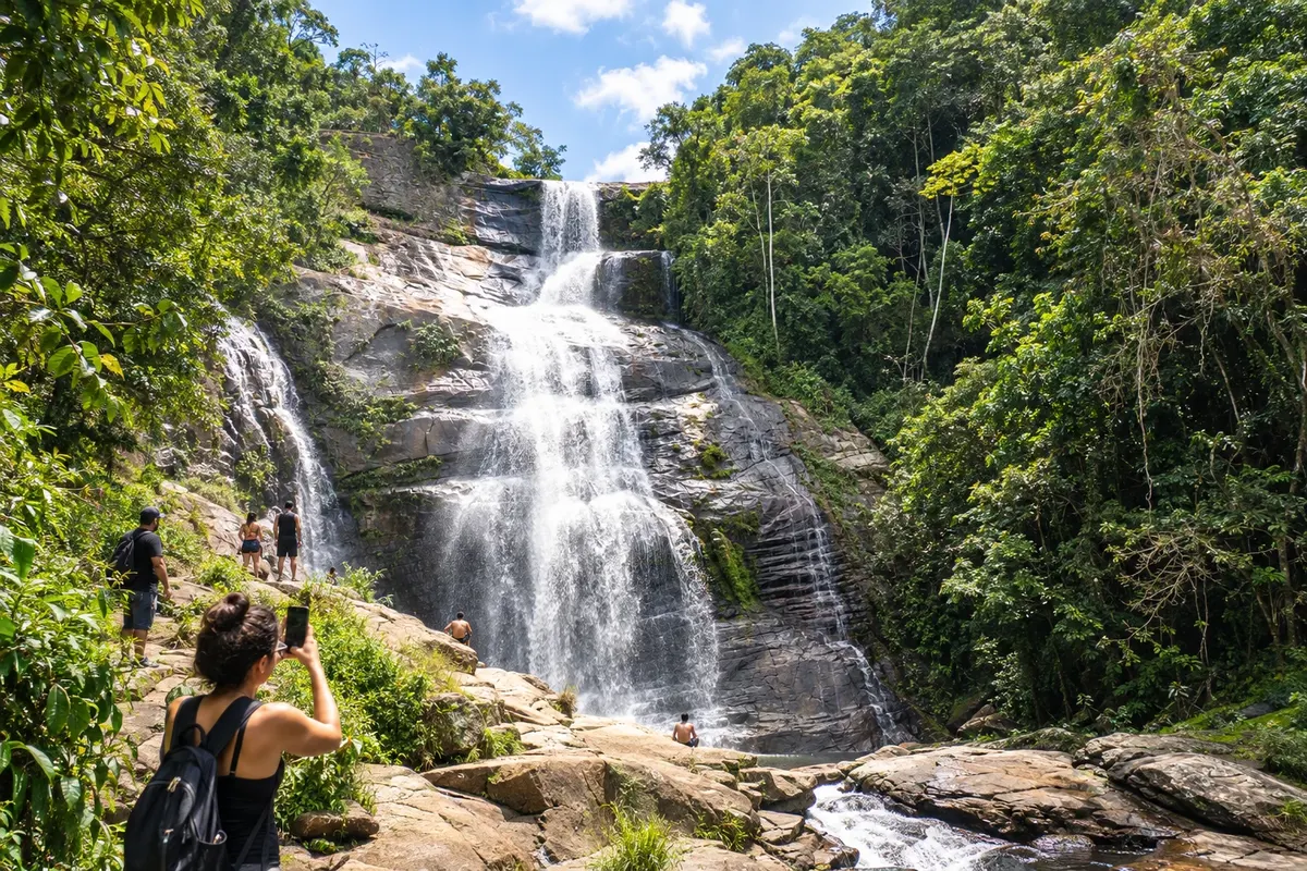
→ Magé The arrival from Petrópolis to Porto Estrela, in Magé, descends via the Serra Velha da Estrela. The road combines cobbling and pavement, passes through Meio da Serra and Raiz da Serra, and opens views over the lowlands and Guanabara Bay before flatter terrain.
-
 17 · RJ
Magé
Magé includes Porto Estrela, the end of the itinerary charted by the Instituto Estrada Real. The old port connected with the city of Rio de Janeiro via the Guanabara Bay region.
→ Rio de Janeiro From Porto Estrela, in Magé, arrange the onward road transfer to the city of Rio de Janeiro. This connection complements the trip to the historic coastal terminus; it is not part of the charted sections nor the Caminho Novo’s official 515 km.
-
 18 · RJ
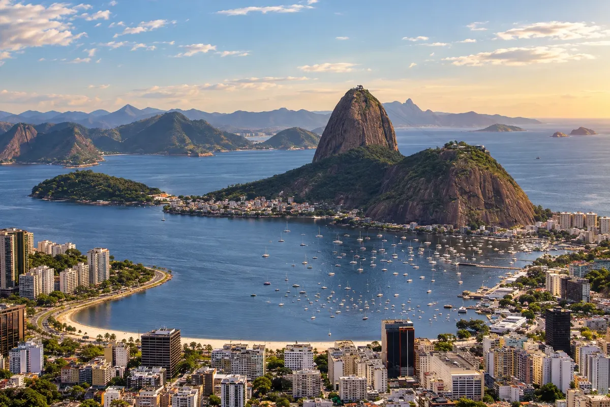
Rio de Janeiro
Rio de Janeiro figures as the historical end of the connection between the mines and the coast. It is an extension of this trip: the official charted itinerary ends in Porto Estrela, a district of Magé.
Fotografije popotnikov
Estrada Real – Caminho Novo (New Route) skozi oči popotnikov

Koliko dni
Separate travel days from sightseeing days, especially in Ouro Preto and Petrópolis. A partial trip can take four to six days with few bases; to also reach the capital, add time in Rio de Janeiro. Complete hikes require their own schedule.
Najboljši čas za obisk
Check the forecast for the Minas interior and the Serra da Estrela close to departure. Fog and rain can alter the mountain descent and dirt access roads. The choice of period should match the outings planned at each base, with alternatives in cultural venues.
The seasons shown are the most usual ones; nature doesn't always follow the calendar.
Kako prepotovati pot
Follow the sequence from Ouro Preto to Magé using stages appropriate to the chosen transport. In Ewbank da Câmara, use the spreadsheet detour to avoid the closed gate. After Porto Estrela, arrange your own road connection to the capital; it is not a charted stage of the IER.
Komu je pot namenjena
For those who want to understand the old connection to Rio de Janeiro and combine colonial records, railway references and visits to Petrópolis’s heritage.
Dolžina
Približno 515 km
Odgovori na vaša vprašanja
Pogosta vprašanja – Estrada Real – Caminho Novo (New Route)
Does the official route end in Rio de Janeiro?
The IER’s charted itinerary ends in Porto Estrela, in the municipality of Magé. The capital appears in this trip as the historic endpoint of the connection to the coast.
What do the 515 km represent?
They are the official kilometers between Ouro Preto and Porto Estrela. The continuation to the city of Rio de Janeiro lies outside that distance.
Is Mont Serrat a separate municipal stop?
Mont Serrat belongs to Comendador Levy Gasparian. The locality is included in that stop of the itinerary.
Is there a route change near Juiz de Fora?
The Institute maintains an alternative on the stage from Ewbank da Câmara because of a gate closed with a padlock. Check the updated spreadsheet.
How to include visits in Petrópolis?
Set aside dedicated days for visits, such as to the Imperial Museum. The Estrada Real’s passage through Secretário and the Serra da Estrela does not equate to seeing all urban attractions.
Več kot vodnik


