

 Antarktika
 Argentina
 Bolivija
 Čile
 Kolumbija
 Ekvator
 Gvajana
 Francoska Gvajana
 Falklandski otoki (Malvini)
 Paragvaj
 Peru
 Surinam
 Urugvaj
 Venezuela
 Nemčija
 Avstrija
 Belgija
 Hrvaška
 Danska
 Slovaška
 Slovenija
 Španija
 Finska
 Francija
 Grčija
 Nizozemska
 Madžarska
 Irska
 Islandija
 Italija
 Luksemburg
 Norveška
 Poljska
 Portugalska
 Združeno kraljestvo
 Češka
 Švedska
 Švica
 Turčija
 Bermudi
 Kanada
 Združene države Amerike
 Grenlandija
 Mehika
 Sveta Peter in Mihael
 Dominikanska republika
 Japonska
 Južnoafriška republika
 Egipt
 Avstralija
 Fidži
 Nova Zelandija
 Papua Nova Gvineja
Pot · PR
Estrada da Graciosa
Quatro Barras, Morretes and Antonina on a trip through the Serra do Mar, with historic paving, rivers and coastal heritage.
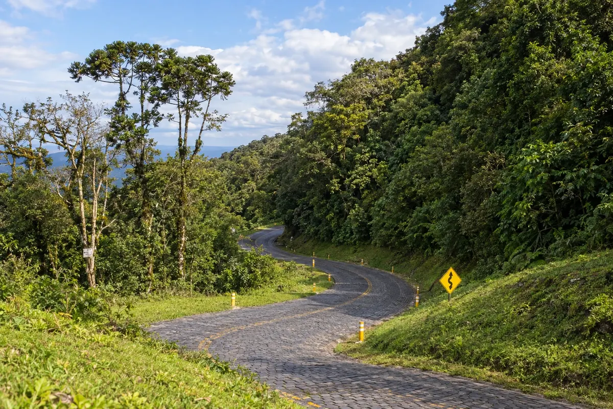
Na fotografiji: Curves and historic paving of the Estrada da Graciosa, Paraná.
Illustrative images. The pictures in this guide are illustrations based on the real place, not photographs, and may differ from it.


Pot
a Estrada da Graciosa – predstavitev
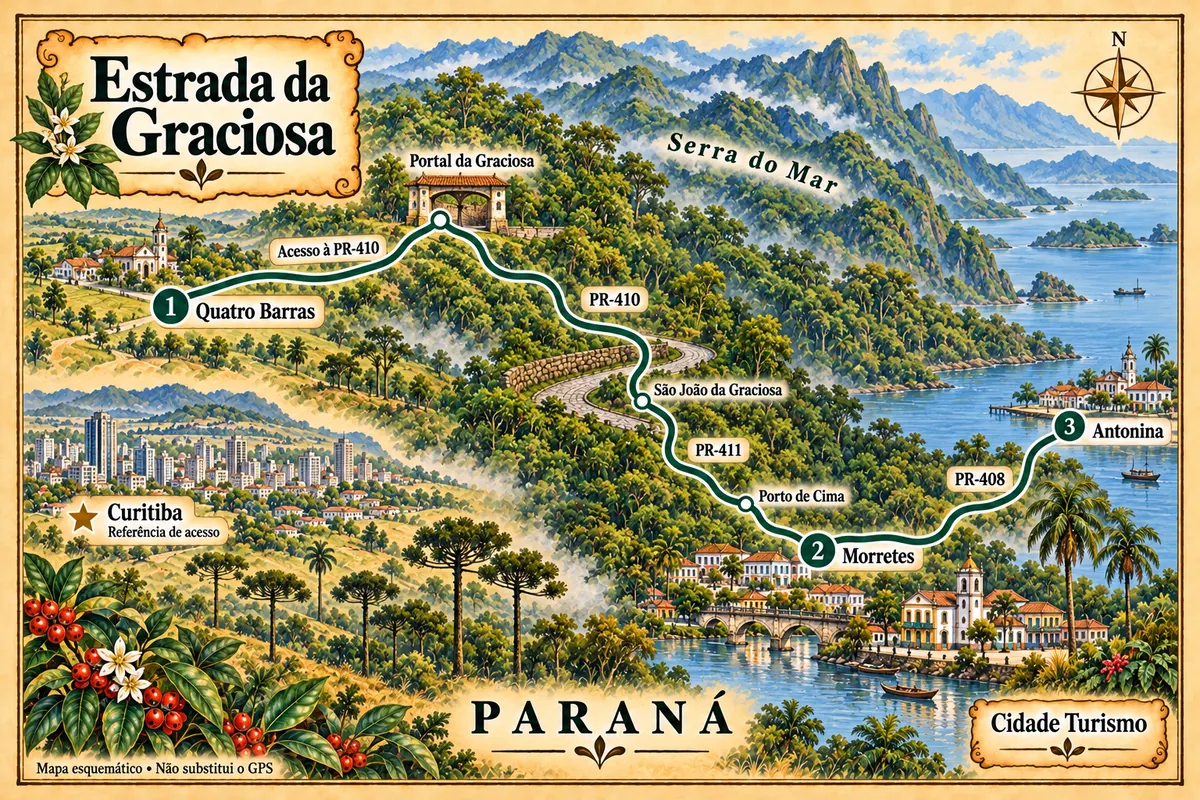
The Estrada da Graciosa crosses the Paraná section of the Serra do Mar between the plateau and the coastal plain. The route begins in Quatro Barras, reaches the entrance of PR-410 and follows the descent with curves, Atlantic Forest and stretches of polygonal stone paving.
In São João da Graciosa the trip takes PR-411 via Porto de Cima to Morretes. Then PR-408 leads to Antonina. The three highways play different roles on this route; the historic sections in Quatro Barras and the initial access should not be confused with the entirety of PR-410.
Curitiba is a reference point for reaching the region, not one of the stops. The Serra do Mar train ride is also a separate experience and does not replace the road travel described here. The map shows the sequence schematically; check road conditions and prepare navigation before you travel.
Zemljevid
Število mest na poti: 3
Zemljevid: @svg-maps/brazil, CC BY 4.0
Potek poti
Od mesta do mesta
Razdalje in časi so okvirni. Preverite jih pred odhodom.
-
 1 · PR
Quatro Barras
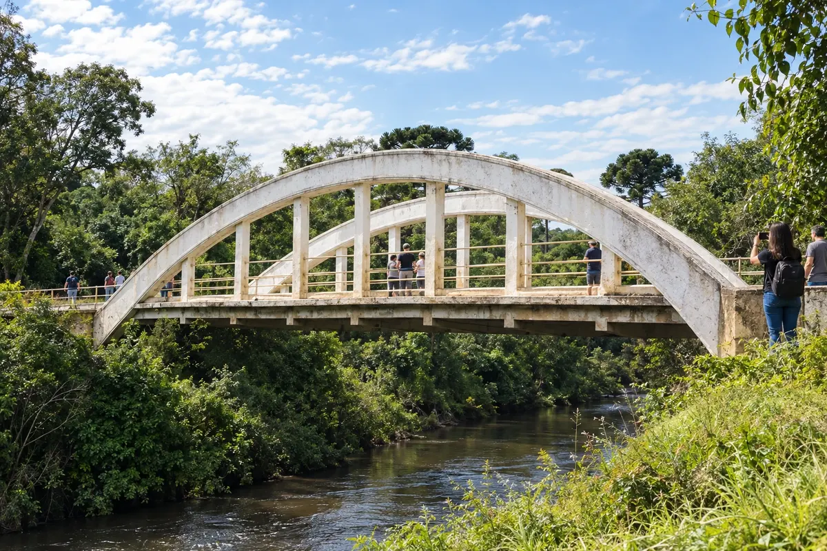
Quatro Barras features Morro do Anhangava and the Caminho do Itupava in the Serra da Baitaca. In the original Graciosa section, the Arco and Rio Taquari bridges preserve road heritage. The start of the trip crosses plateau paths before reaching the mountain road entrance.
→ Morretes Reach the Portal da Graciosa via the access road from Quatro Barras. Descend PR-410 through the Serra do Mar, with asphalt, polygonal stone paving and curves through the Atlantic Forest; in São João da Graciosa follow PR-411 via Porto de Cima to Morretes.
-
 2 · PR
Morretes
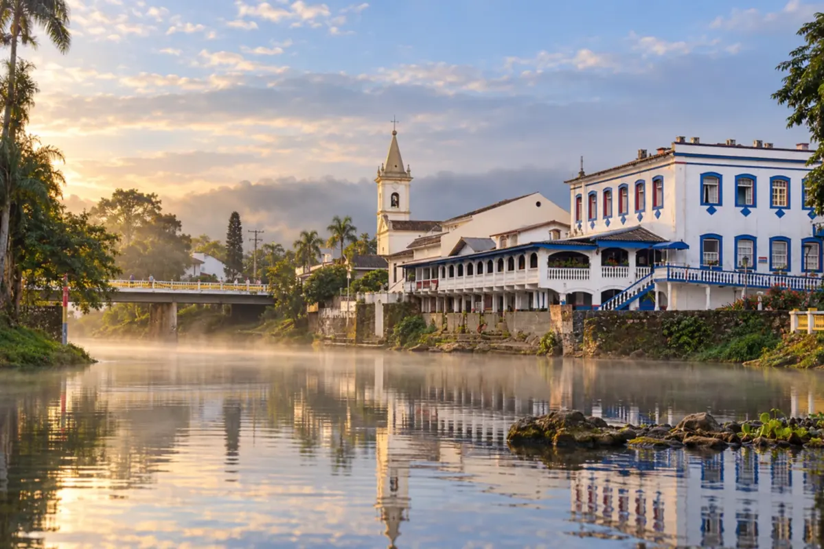
Morretes has the Nhundiaquara River alongside its historic center and the Igreja Matriz Nossa Senhora do Porto among its landmarks. In Porto de Cima the route follows the arrival of PR-411. A visit to the town center and the local barreado cuisine give the stop its own significance after the mountain descent.
→ Antonina The paved PR-408 links Morretes to Antonina across the coastal plain. This section leaves the mountain landscape and reaches the historic center by the bay, without repeating the PR-410 descent.
-
 3 · PR
Antonina
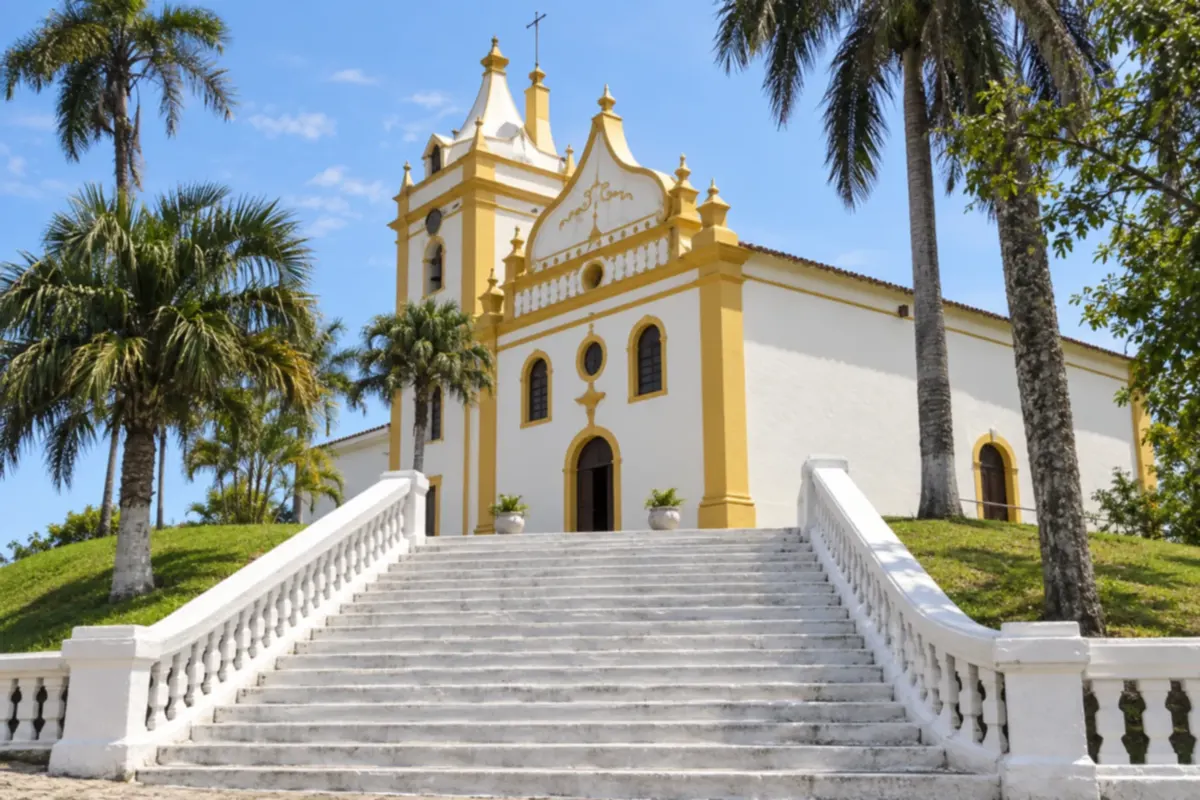
Antonina brings together the Igreja Matriz Nossa Senhora do Pilar and the Fonte da Carioca in its historic center heritage. The bay shapes the city’s landscape, which also hosts the Winter Festival. Arrival via PR-408 concludes the route with coastal port architecture and memory.
Koliko dni
Two or three days allow you to travel the mountain range and visit the historic centers without reducing the trip to mere transit. A trail in Quatro Barras requires extra time dedicated to the activity, separate from the Graciosa descent.
Najboljši čas za obisk
Stable weather favors views of the Serra do Mar and roadside stops. Fog and rain change the experience; check traffic bulletins before you leave. Events in the historic towns follow their own schedules.
The seasons shown are the most usual ones; nature doesn't always follow the calendar.
Kako prepotovati pot
Start in Quatro Barras, reach the Portal da Graciosa and descend PR-410. In São João da Graciosa take PR-411 via Porto de Cima to Morretes; finish on PR-408 to Antonina. Stop only at permitted locations and check traffic conditions. There is no mandatory return on this route.
Komu je pot namenjena
For travelers combining mountain scenery and urban heritage by car or hired transport. Walks in Baitaca are independent activities, chosen according to fitness and access rules.
Odgovori na vaša vprašanja
Pogosta vprašanja – Estrada da Graciosa
Is Curitiba part of the Graciosa stops?
In this itinerary the capital is a reference point for access and appears starred on the map. The stops are Quatro Barras, Morretes and Antonina, in that order.
Does PR-410 go directly to the center of Morretes?
The connection used here leaves PR-410 at São João da Graciosa and uses PR-411 via Porto de Cima. The continuation of PR-410 to PR-408 is a different segment of the road network.
Which road connects Morretes to the end of the route?
The final leg uses PR-408 to reach Antonina. The highway crosses the plain and should not be presented as a continuation of the mountain paving.
Does the Itupava crossing replace this trip?
The Itupava is a historic walk with its own logistics and entry rules. The Graciosa described here is a road itinerary between three municipalities.
How to confirm the length and duration of the trip?
Distances and timings must match the points and accesses actually used. Serra conditions and stops change the schedule; prepare navigation and check traffic before you depart.
Več kot vodnik


