

 Antarktika
 Argentina
 Bolivija
 Čile
 Kolumbija
 Ekvator
 Gvajana
 Francoska Gvajana
 Falklandski otoki (Malvini)
 Paragvaj
 Peru
 Surinam
 Urugvaj
 Venezuela
 Nemčija
 Avstrija
 Belgija
 Hrvaška
 Danska
 Slovaška
 Slovenija
 Španija
 Finska
 Francija
 Grčija
 Nizozemska
 Madžarska
 Irska
 Islandija
 Italija
 Luksemburg
 Norveška
 Poljska
 Portugalska
 Združeno kraljestvo
 Češka
 Švedska
 Švica
 Turčija
 Bermudi
 Kanada
 Združene države Amerike
 Grenlandija
 Mehika
 Sveta Peter in Mihael
 Dominikanska republika
 Japonska
 Južnoafriška republika
 Egipt
 Avstralija
 Fidži
 Nova Zelandija
 Papua Nova Gvineja
Pot · SC
Path of the Princes — Imperial Route
Ten cities in northern Santa Catarina on a driving circuit through railway memory, museums, mountains and maritime heritage.
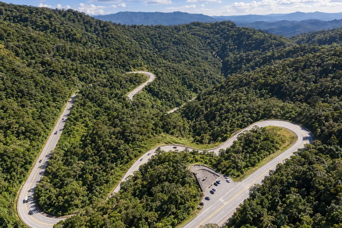
Na fotografiji: Serra Dona Francisca, section of SC-418 between the plateau and Joinville.
Illustrative images. The pictures in this guide are illustrations based on the real place, not photographs, and may differ from it.


Pot
Path of the Princes — Imperial Route – predstavitev
The Path of the Princes — Imperial Route brings together ten municipalities in northern Santa Catarina recognized by federal law. This route arranges a car trip between the plateau, Serra Dona Francisca, the coast of Babitonga Bay and the Itapocu Valley. Museums, temples, stations and coastal landscapes provide different themes for each stop.
The sequence of visits starts in Rio Negrinho and ends in Corupá, returning via BR-280 and passing São Bento do Sul again. The order follows the original state itinerary, which grouped the same municipalities; the current state composition and the Path of the Princes tourist region use a different list. The federal route covers municipalities in two tourist regions: Path of the Princes and Vale dos Encantos.
Each number identifies a distinct city, not a mandatory travel day. Museum admissions, train rides, coastal activities and visits to private properties require separate planning. The illustrated map simplifies connections, and navigation should follow current roads and access points. The Corupá Waterfalls Route is closed and is not presented as an available trail.
Zemljevid
Število mest na poti: 10
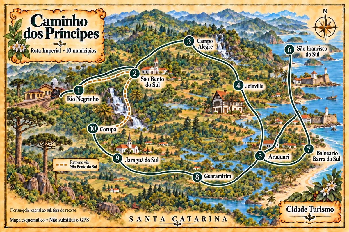
Zemljevid: @svg-maps/brazil, CC BY 4.0
Potek poti
Od mesta do mesta
Razdalje in časi so okvirni. Preverite jih pred odhodom.
-
 1 · SC
Rio Negrinho
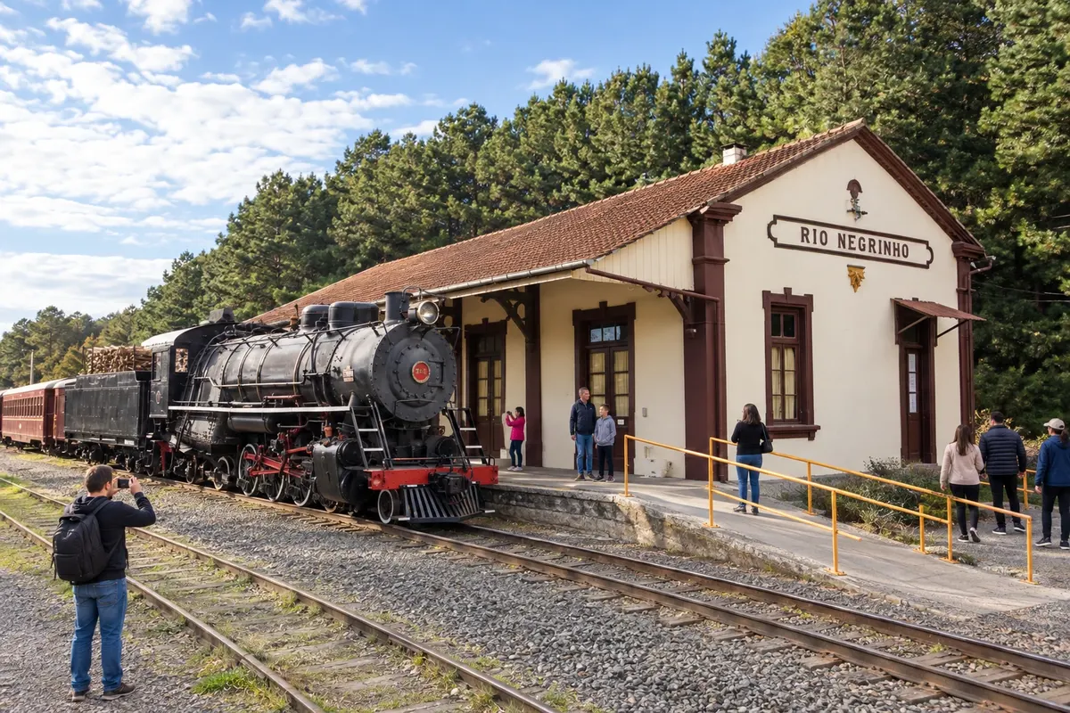
The Rio Negrinho station houses railway equipment and serves as a reference point for Maria Fumaça (steam train) rides. At Casarão Zipperer, the Carlos Lampe Municipal Museum presents the community’s heritage. This first stop can allow time for these collections and Parque Paul Harris before departing along the road corridor.
→ São Bento do Sul BR-280 connects Rio Negrinho to the access for São Bento do Sul across the plateau. Arrival at the central museums requires leaving the highway corridor and following the urban street network; do not confuse the access to the municipal seat with the tourist rail route.
-
 2 · SC
São Bento do Sul
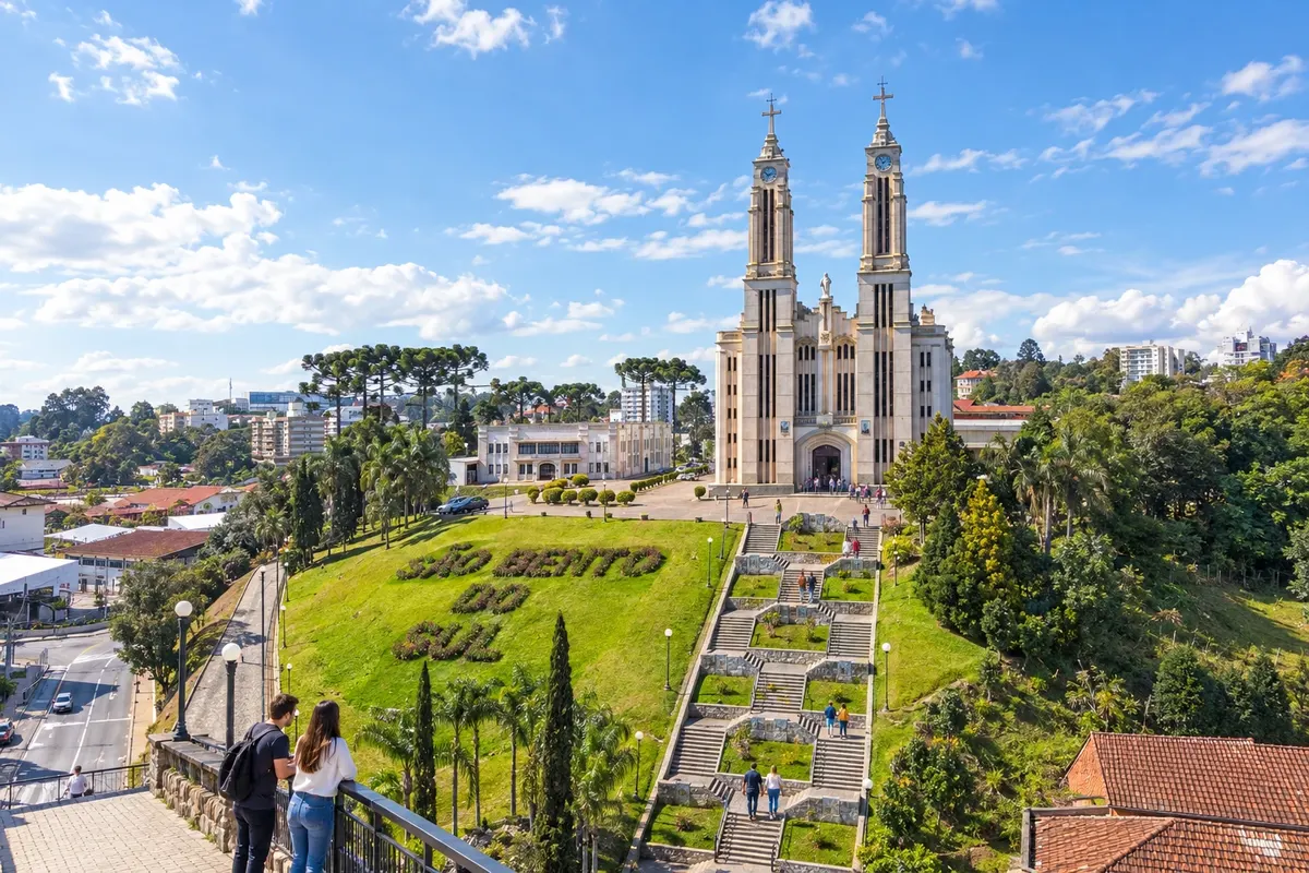
The Dr. Felippe Maria Wolff Museum occupies a former residence in São Bento do Sul and preserves the memory of colonization. The Puríssimo Coração de Maria Church is notable for its central staircase, while the Ornith Bollmann Museum displays a natural history collection in Oxford. The urban visits precede the continuation across the plateau.
→ Campo Alegre The link from São Bento do Sul to Campo Alegre uses SC-418 on the plateau. The urban approaches at arrival lead to the Cascatinha core; Bateias de Baixo is a side excursion and not an automatic stop on the main road.
-
 3 · SC
Campo Alegre
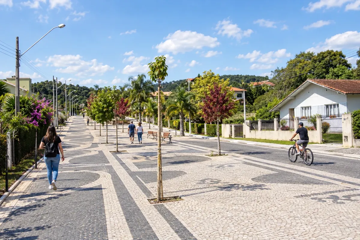
Campo Alegre features the Cascatinha on Ribeirão Farias in the town center and the Sto Lat Museum in Bateias de Baixo, dedicated to Polish culture. The State Sheep Festival is associated with sheep farming, and the Matriz Santíssima Trindade preserves a building begun in the 19th century. Visiting the district requires a local detour separate from the main crossing.
→ Joinville From Campo Alegre, SC-418 descends the Serra Dona Francisca toward Joinville. The terrain changes from plateau to forested slopes; possible bends and fog call for planning the crossing and checking the current condition of the road.
-
 4 · SC
Joinville
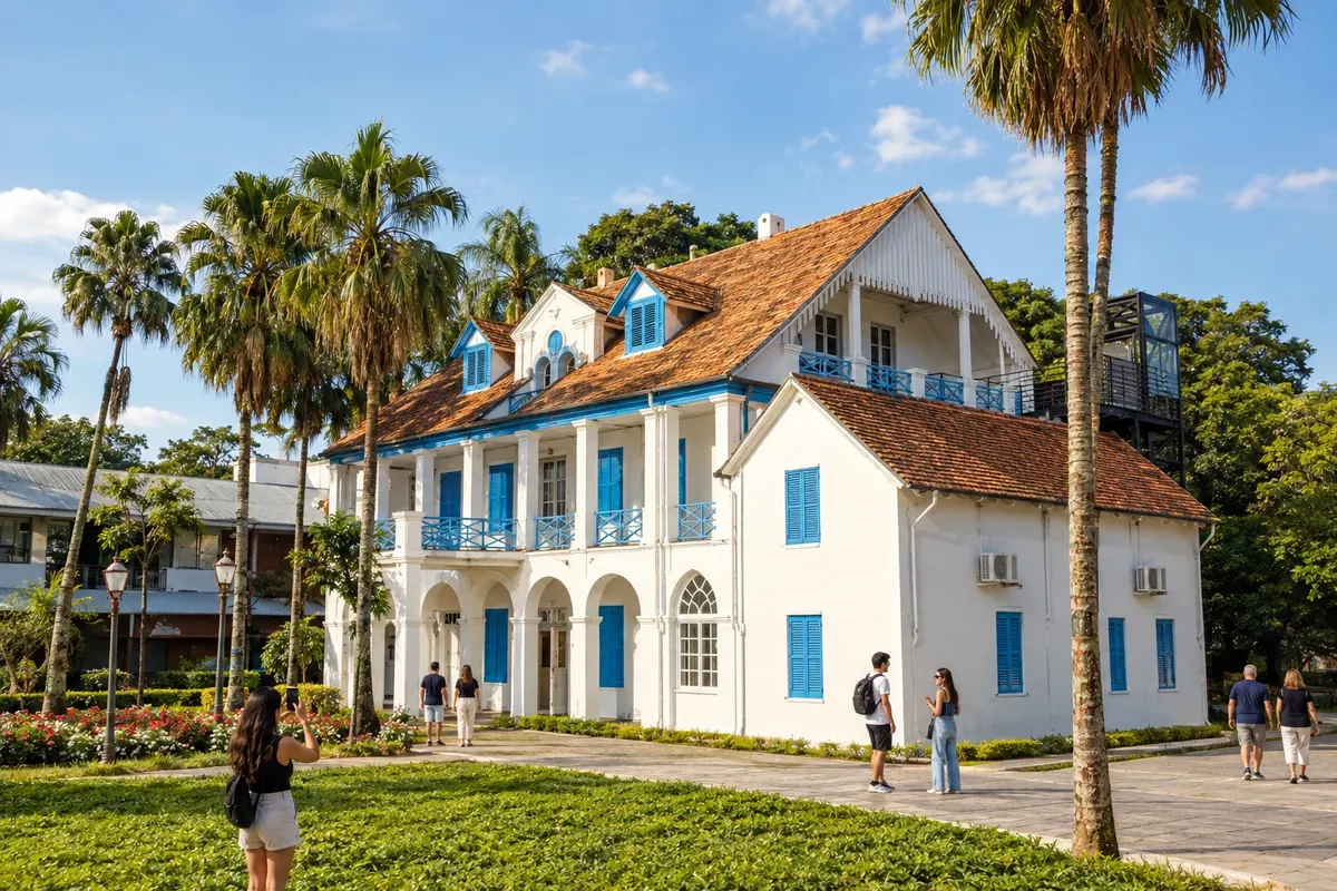
Joinville presents indigenous heritage at the Sambaqui Archaeological Museum and colonial-era objects at the National Museum of Immigration and Colonization. Casa Fritz Alt preserves the work and residence of the sculptor, and the Art Museum occupies the former Doerffel house. Spread visits across more than one period to get to know the city’s cultural life.
→ Araquari The exit from Joinville toward Araquari is routed via the BR-101 corridor and the urban approaches to the destination. The sanctuary lies outside the continuous travel lane of the highway, requiring entry into the town-center streets.
-
 5 · SC
Araquari
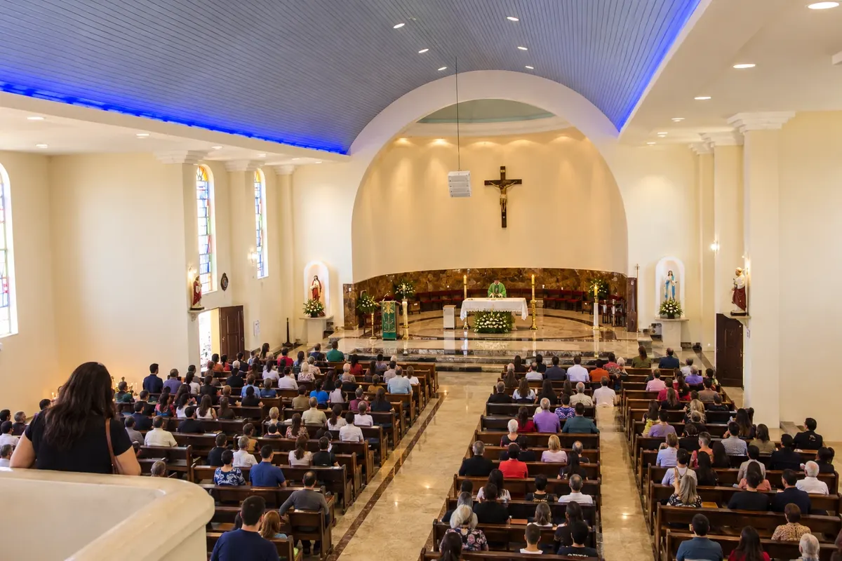
The Senhor Bom Jesus Sanctuary in Araquari brings together devotion and the Room of Miracles. The Parati River and the Municipal Park Refúgio dos Pássaros are the municipality’s natural references. Entering the religious complex is a local visit, in addition to the car connection between the road corridors and the coast.
→ São Francisco do Sul From Araquari, BR-280 leads to the island of São Francisco do Sul. The route reaches the landscape of Babitonga Bay and then the city approaches; the Historic Center is the reference point for this stop, separate from the beach sectors.
-
 6 · SC
São Francisco do Sul
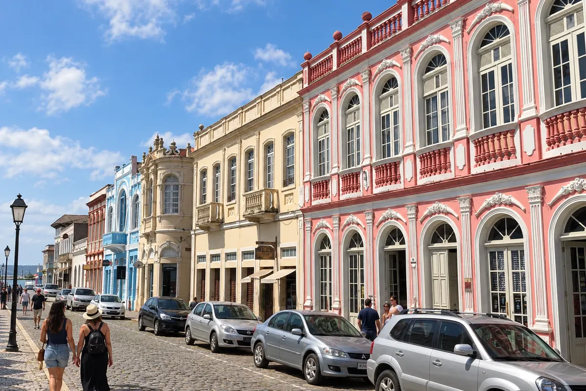
In São Francisco do Sul, traditional vessels at the National Maritime Museum help tell the story of navigation. The Nossa Senhora da Graça Church and the Historic Center ensemble relate to the landscape of Babitonga Bay. Forte Marechal Luz occupies another sector of the island and requires a separate excursion, in addition to a stroll through the old streets.
→ Balneário Barra do Sul For Balneário Barra do Sul, return to the connecting corridor and use the access via SC-415. This exit from São Francisco do Sul’s historic core requires crossing the shared stretch again; it is not a direct boat crossing across the bay.
-
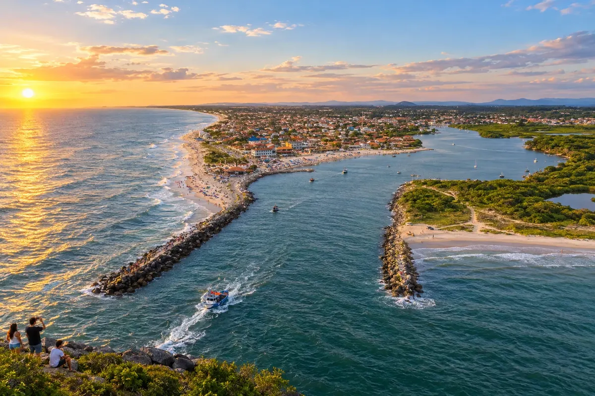 7 · SC
Balneário Barra do Sul
The Linguado Channel and Boca da Barra show Balneário Barra do Sul’s relationship with artisanal fishing. Praia do Bispo and Praia de Salinas expand the coastal stretches that can be explored, while the Tainha Festival brings together fishing culture in an annual edition. A sea trip depends on local navigation and hiring.
→ Guaramirim The exit from Balneário Barra do Sul uses Estrada Geral do Itapocu, reaches BR-101 to the north and follows BR-280 to Guaramirim. There is a return via the Araquari corridor; confirm the chosen local access before leaving the waterfront.
-
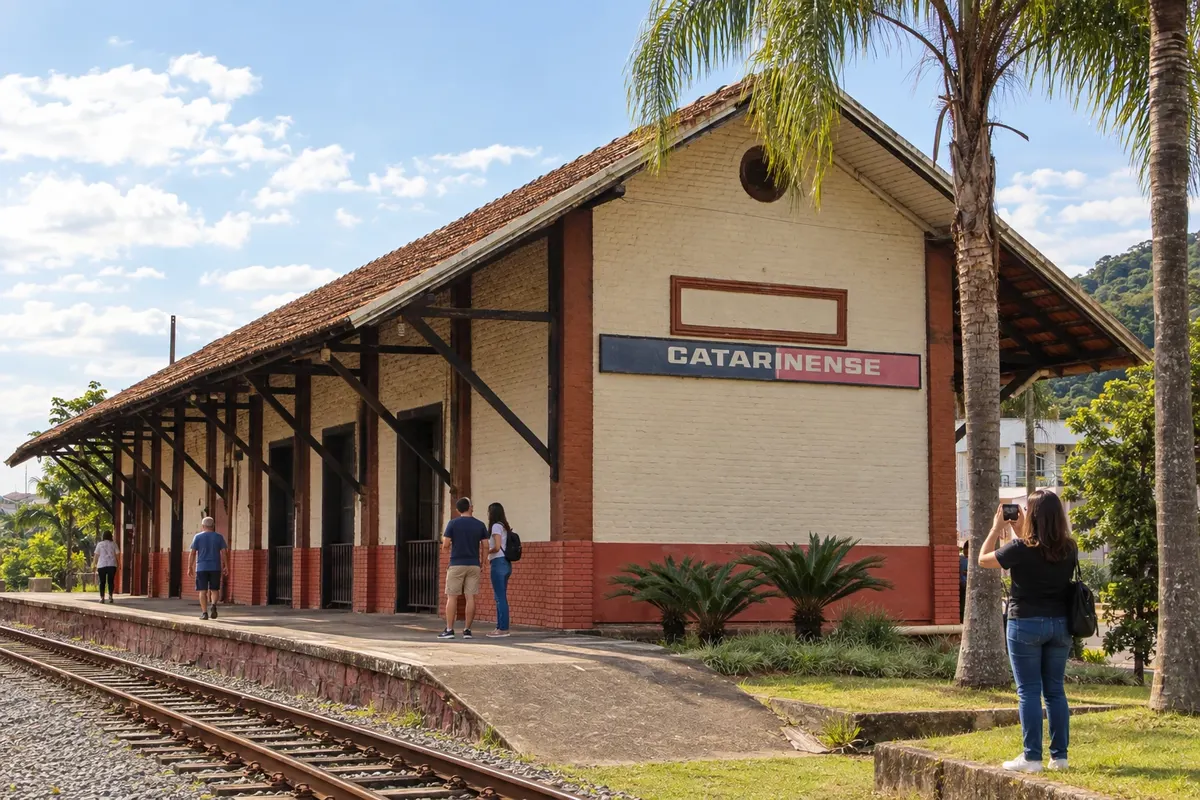 8 · SC
Guaramirim
Guaramirim’s Bananal Railway Station, opened in 1910, is a reference for urban growth linked to the tracks. The Matriz Senhor Bom Jesus preserves dome paintings and serves the Catholic community. The stop focuses on observing this central heritage before continuing along the BR-280 axis.
→ Jaraguá do Sul Guaramirim and Jaraguá do Sul are connected along the BR-280 axis in the Itapocu Valley. On arrival, the urban grid distributes access to Museu WEG and the historic center, while Parque Malwee is located in a different municipal sector.
-
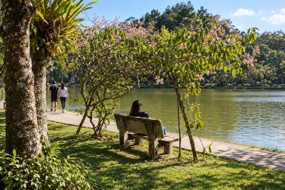 9 · SC
Jaraguá do Sul
The WEG Museum of Science and Technology showcases the electric motor industry in Jaraguá do Sul. Parque Malwee brings together lakes and walking paths, and the Chiesetta Alpina combines a memorial chapel with valley views. The Emílio da Silva Historical Museum adds urban history to the visit, leaving events to the chosen calendar.
→ Corupá The continuation from Jaraguá do Sul to Corupá follows BR-280 through the valley, approaching the Serra do Mar. Between the highway and the attractions, local roads come into play; Ribeirão Correias and the Orquidário Alvim Seidel have their own access routes.
-
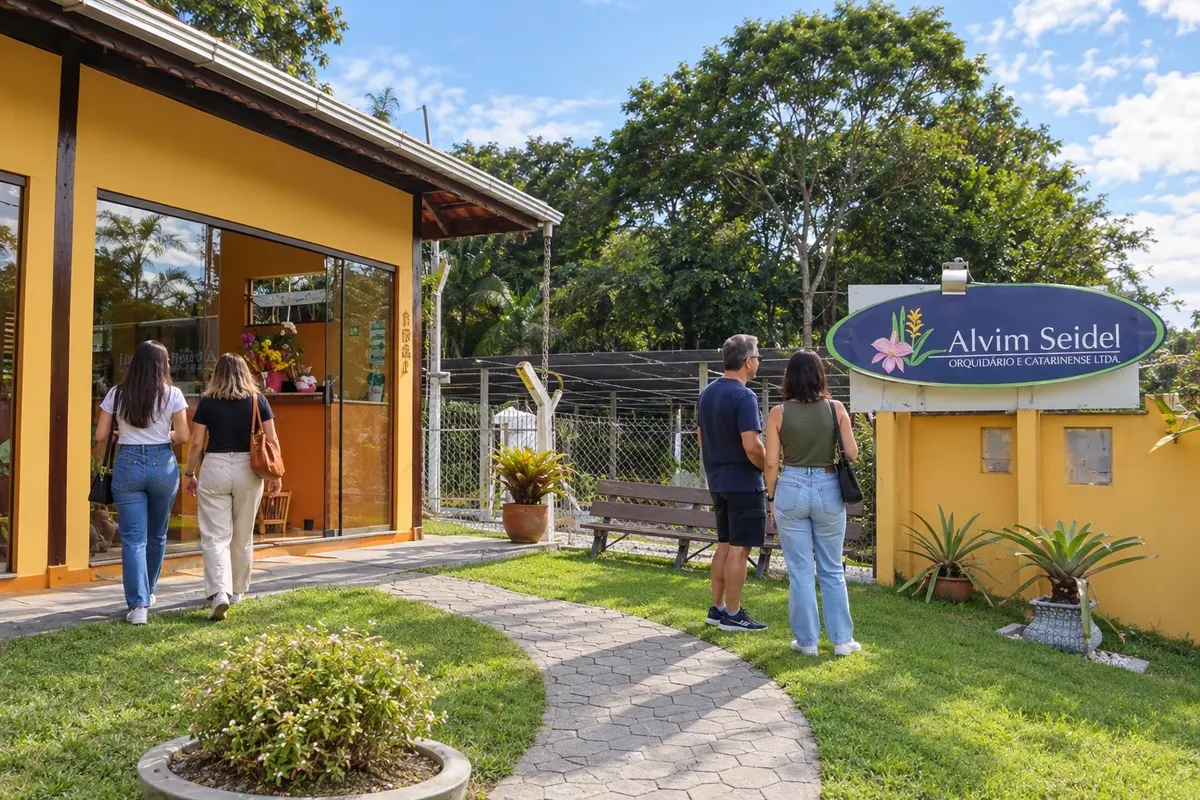 10 · SC
Corupá
The Alvim Seidel Catarinense Orchid Nursery in Corupá maintains a cultivation tradition begun in 1906. The Gruta da Santa receives devotion in a water-and-rock setting, and the Matriz São José recalls the local Catholic formation. The Waterfalls Route is closed and is not included as an available trail; the road return uses the mountains and the plateau.
→ Rio Negrinho The return from Corupá to Rio Negrinho climbs via BR-280, crosses São Bento do Sul and continues across the plateau. The link retraces the mountain corridor and passes again through the municipality of the second stop; there is no direct shortcut drawn between the municipal seats.
Koliko dni
Allow seven to ten days to select visits across the ten cities, including time for museums and transfers between mountain and coast. There is no officially confirmed duration for this circuit; add days if you choose beaches, events or train excursions.
Najboljši čas za obisk
Cultural programming can be organized throughout the year. The plateau requires attention to cold and fog; on the coast, consider wind and increased activity in summer. For the mountains and local roads, check rain and traffic conditions before starting the day.
The seasons shown are the most usual ones; nature doesn't always follow the calendar.
Kako prepotovati pot
Travel by car, using BR-280, BR-101, SC-418 and coastal and municipal access roads. The mountain section has curves and can present fog. The return via Corupá crosses São Bento do Sul before Rio Negrinho; the exit from Barra do Sul toward the valley also uses corridors already traveled. Museums and temples require checking with staff, and any train or boat trip must be arranged separately.
Komu je pot namenjena
For travelers interested in urban heritage, immigration history, railways, science and landscapes of northern Santa Catarina, with car transfers and local walking visits. Choose activities according to mobility, opening hours and length of stay.
Odgovori na vaša vprašanja
Pogosta vprašanja – Path of the Princes — Imperial Route
Is this Imperial Route a bicycle route?
The page presents a car circuit. The Circuito das Araucárias for cycle tourism has a different routing and should not be confused with these road connections.
Why does the route include ten cities and the destinations have different names?
The federal law of the Rota Imperial brings together municipalities from two tourist regions: Caminho dos Príncipes and Vale dos Encantos. The trip connects those territories without turning them into a single region.
Is the return between Corupá and Rio Negrinho direct?
The road return uses BR-280 and crosses São Bento do Sul again. The schematic does not represent an independent shortcut through the mountains.
Do the ten stops represent ten mandatory days?
The numbering organizes distinct municipalities. Duration depends on the visits chosen, the opening/service at venues and the time allocated for travel.
How do I calculate the travel distances/times for this circuit?
Use the addresses of the visits and current road navigation, including urban approaches and stops. Serra Dona Francisca has curves, and the return from Corupá crosses São Bento do Sul before reaching Rio Negrinho.
Can the Rota das Cachoeiras trail be done during the Corupá stop?
The area remains closed and has a concession process underway. Visiting the trail should only be considered after a confirmed notice of reopening.
Več kot vodnik


