

 Antarktika
 Argentina
 Bolivija
 Čile
 Kolumbija
 Ekvator
 Gvajana
 Francoska Gvajana
 Falklandski otoki (Malvini)
 Paragvaj
 Peru
 Surinam
 Urugvaj
 Venezuela
 Nemčija
 Avstrija
 Belgija
 Hrvaška
 Danska
 Slovaška
 Slovenija
 Španija
 Finska
 Francija
 Grčija
 Nizozemska
 Madžarska
 Irska
 Islandija
 Italija
 Luksemburg
 Norveška
 Poljska
 Portugalska
 Združeno kraljestvo
 Češka
 Švedska
 Švica
 Turčija
 Bermudi
 Kanada
 Združene države Amerike
 Grenlandija
 Mehika
 Sveta Peter in Mihael
 Dominikanska republika
 Japonska
 Južnoafriška republika
 Egipt
 Avstralija
 Fidži
 Nova Zelandija
 Papua Nova Gvineja
Pot · SC
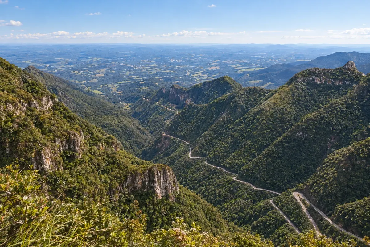
Serra do Rio do Rastro
From the base in Lauro Müller to the plateau in Bom Jardim da Serra, along the curves of SC-390.
Na fotografiji: Serra do Rio do Rastro, in Santa Catarina
Illustrative images. The pictures in this guide are illustrations based on the real place, not photographs, and may differ from it.


Pot
a Serra do Rio do Rastro – predstavitev
The Serra do Rio do Rastro links Lauro Müller to Bom Jardim da Serra via SC-390. This route describes the ascent from the mountain base to the plateau; it is also possible to do the trip in the opposite direction. The road is the main feature of the outing, with curves between cliffs and slopes covered in forest.
Lauro Müller serves as the reference point to start the route from the lower side. Bom Jardim da Serra marks arrival at the plateau and allows including the viewpoint at the top of the mountain. Stops to view the scenery should be made at appropriate locations.
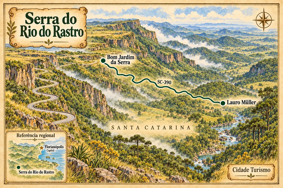
The map shows the relative position of the two towns and an illustrative connection between them. Florianópolis appears as the capital reference, outside the route. The drawing does not show every curve nor does it replace navigation.
Check the notices about SC-390 and the forecast before you leave. Fog can reduce visibility and cold can change traffic conditions. Allow extra time in your planning to adjust stops and travel.
Zemljevid
Število mest na poti: 2
Zemljevid: @svg-maps/brazil, CC BY 4.0
Potek poti
Od mesta do mesta
Razdalje in časi so okvirni. Preverite jih pred odhodom.
-
 1 · SC
Lauro Müller
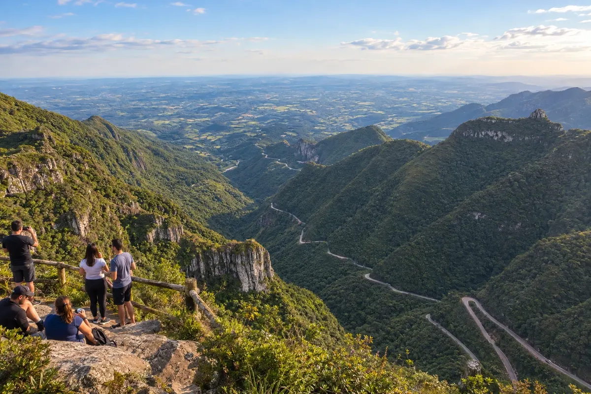
Reference point on the lower side of the serra. In this route, it is the starting point for the climb via the SC-390.
→ Bom Jardim da Serra A SC-390 liga Lauro Müller ao planalto de Bom Jardim da Serra pela Serra do Rio do Rastro. A subida combina curvas fechadas, paredões e Mata Atlântica; observe a paisagem somente nos pontos de parada permitidos e confira a visibilidade.
-
 2 · SC
Bom Jardim da Serra
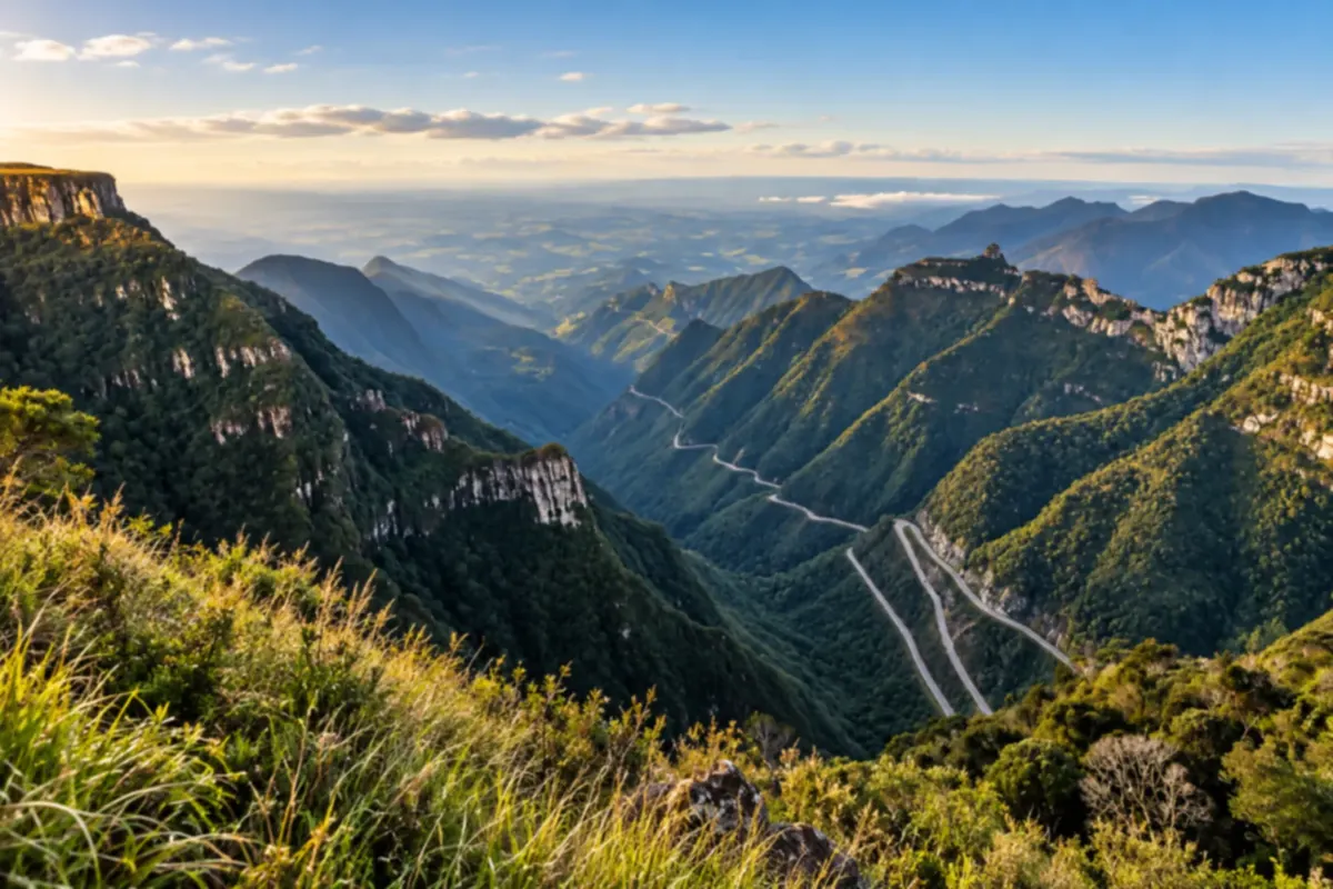
Reference point for the plateau and arrival at the top of the mountain. Allows combining the route with the view from the viewpoint.
Koliko dni
We suggest one day to travel the serra and choose stops. Allow two days if you want to combine the route with visits in the towns and avoid concentrating arrival and return on the same day. Duration depends on traffic conditions and the group's pace.
Najboljši čas za obisk
Plan according to the forecast for your date. The landscape depends on visibility; fog can obscure the view. In winter, follow notices about cold and road conditions. Confirm that the route is open before starting the mountain section.
The seasons shown are the most usual ones; nature doesn't always follow the calendar.
Kako prepotovati pot
Travel along the SC-390 by car or with hired transport. Respect the signage and stop only in appropriate places. Check official notices, adjust your trip to the visibility and confirm road conditions close to departure.
Komu je pot namenjena
For those looking for mountain scenery and a road trip with stops. The road requires attention when driving. If you prefer to take in the surroundings while moving, arrange transport with a driver.
Odgovori na vaša vprašanja
Pogosta vprašanja – Serra do Rio do Rastro
A rota precisa ser feita na subida?
Não. Aqui apresentamos Lauro Müller seguido de Bom Jardim da Serra, mas o percurso também pode ser organizado no sentido inverso.
Qual estrada liga as duas cidades?
O eixo do roteiro é a SC-390, que atravessa a Serra do Rio do Rastro.
How many days should I book?
Como sugestão editorial, um dia permite percorrer a serra com paradas. Dois dias dão margem para incluir passeios nas cidades e organizar chegada e retorno.
Como conferir as condições da estrada?
Consulte os avisos oficiais da rodovia e a previsão perto da saída. Ajuste o roteiro às condições de circulação e visibilidade.
Is the map suitable for navigation?
Não. É uma ilustração da sequência e das posições relativas das cidades; o traçado não reproduz cada curva da rodovia.
Več kot vodnik


