

 Antarktika
 Argentina
 Bolivija
 Čile
 Kolumbija
 Ekvator
 Gvajana
 Francoska Gvajana
 Falklandski otoki (Malvini)
 Paragvaj
 Peru
 Surinam
 Urugvaj
 Venezuela
 Nemčija
 Avstrija
 Belgija
 Hrvaška
 Danska
 Slovaška
 Slovenija
 Španija
 Finska
 Francija
 Grčija
 Nizozemska
 Madžarska
 Irska
 Islandija
 Italija
 Luksemburg
 Norveška
 Poljska
 Portugalska
 Združeno kraljestvo
 Češka
 Švedska
 Švica
 Turčija
 Bermudi
 Kanada
 Združene države Amerike
 Grenlandija
 Mehika
 Sveta Peter in Mihael
 Dominikanska republika
 Japonska
 Južnoafriška republika
 Egipt
 Avstralija
 Fidži
 Nova Zelandija
 Papua Nova Gvineja
Pot · MS
Pantanal–Bonito Route
A trip through the landscapes of the Pantanal, the Bonito region and the cities in the south of Mato Grosso do Sul.
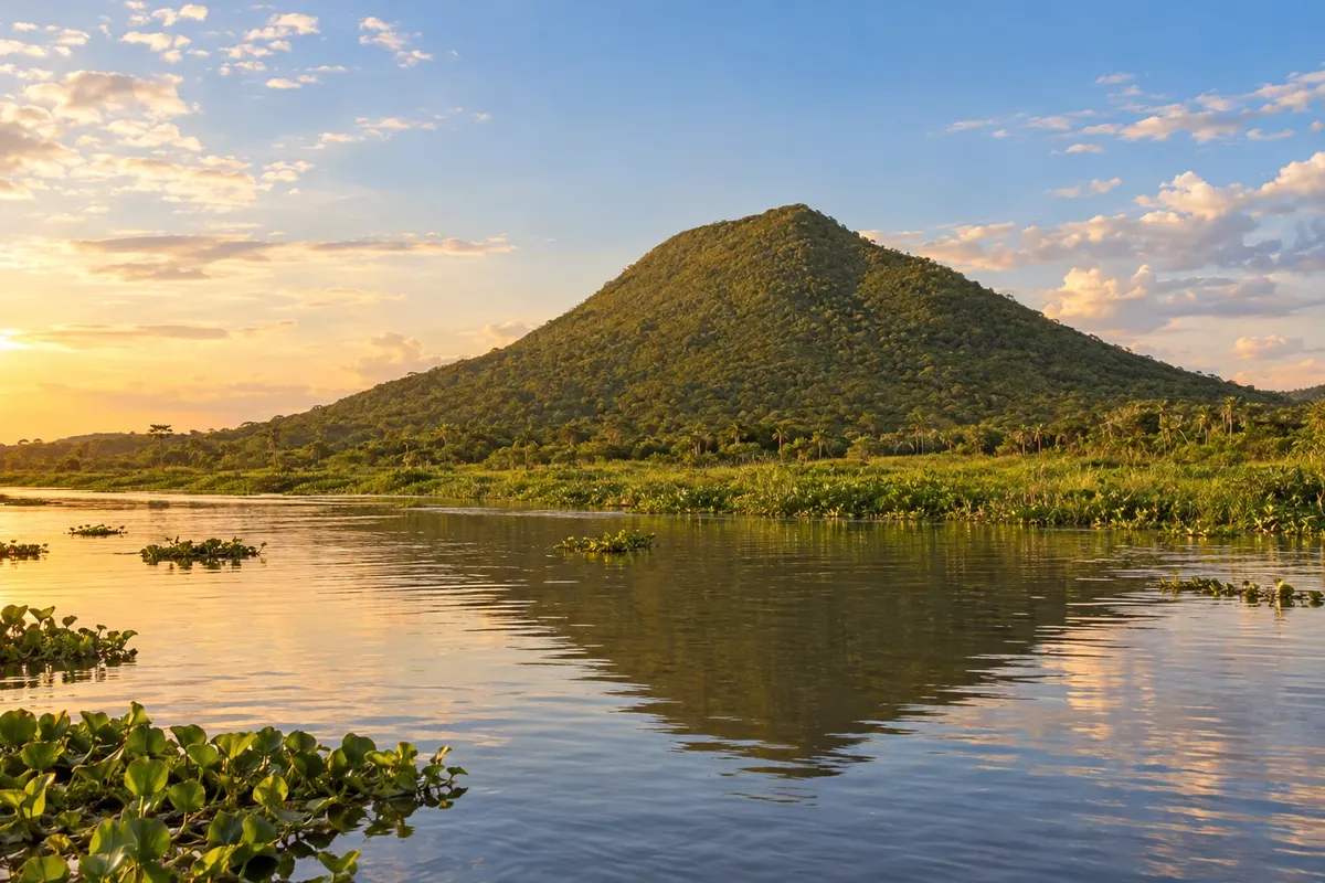
Na fotografiji: Morro Pão de Açúcar, in Porto Murtinho
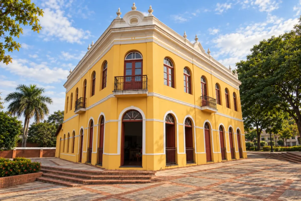
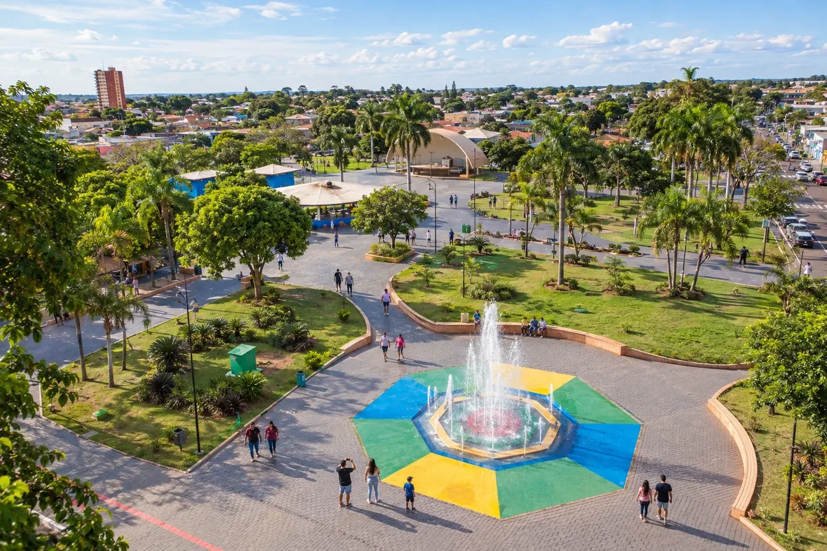
Illustrative images. The pictures in this guide are illustrations based on the real place, not photographs, and may differ from it.


Pot
Pantanal–Bonito Route – predstavitev
The Pantanal–Bonito Route brings together municipalities with different landscapes of Mato Grosso do Sul. The regional axis includes Pantanal towns, bases in the Serra da Bodoquena and municipalities in the south and along the border. It does not correspond to a single road.
This itinerary departs from Campo Grande, continues through Maracaju, Ponta Porã, Antônio João and Bela Vista and reaches Porto Murtinho. It then links Jardim, Guia Lopes da Laguna, Nioaque, Bonito and Bodoquena. The sequence is editorial: choose the bases and organize travel according to the excursions.
Continuing through Miranda, Anastácio and Aquidauana allows entry into the Pantanal region before heading to Ladário and Corumbá. Allow your own time for visits to rivers, caves and natural landscapes; these are not included in the driving time.
You can do only part of the route. The Pantanal–Bonito connection is a common segment of the trip; visiting all sixteen municipalities requires a broader itinerary, with detours to the south and the border.
Zemljevid
Število mest na poti: 16
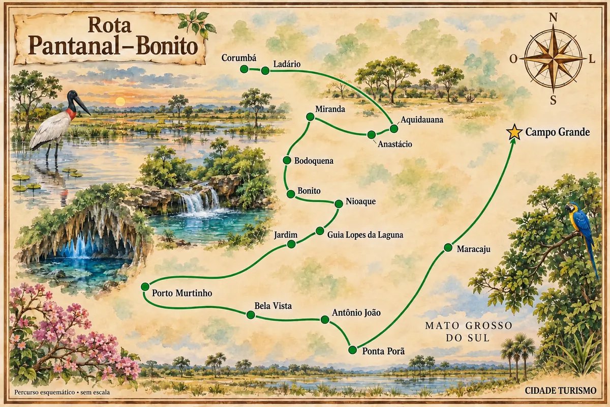
Zemljevid: @svg-maps/brazil, CC BY 4.0
Potek poti
Od mesta do mesta
Razdalje in časi so okvirni. Preverite jih pred odhodom.
-
 1 · MS
Campo Grande
Capital and arrival reference point to organize travel through the state.
→ Maracaju De Campo Grande, siga pela BR-060 até Sidrolândia e continue pela MS-162 para Maracaju. Essa ligação passa pelo interior agrícola; as visitas gastronômicas em Maracaju exigem saída para a sede.
-
 2 · MS
Maracaju
Urban stop in the Grande Dourados region before continuing toward the border.
→ Ponta Porã Maracaju e Ponta Porã se ligam pela MS-164, com referência de passagem em Vista Alegre. A etapa segue para a região de fronteira, sem necessidade de entrar no Paraguai.
-
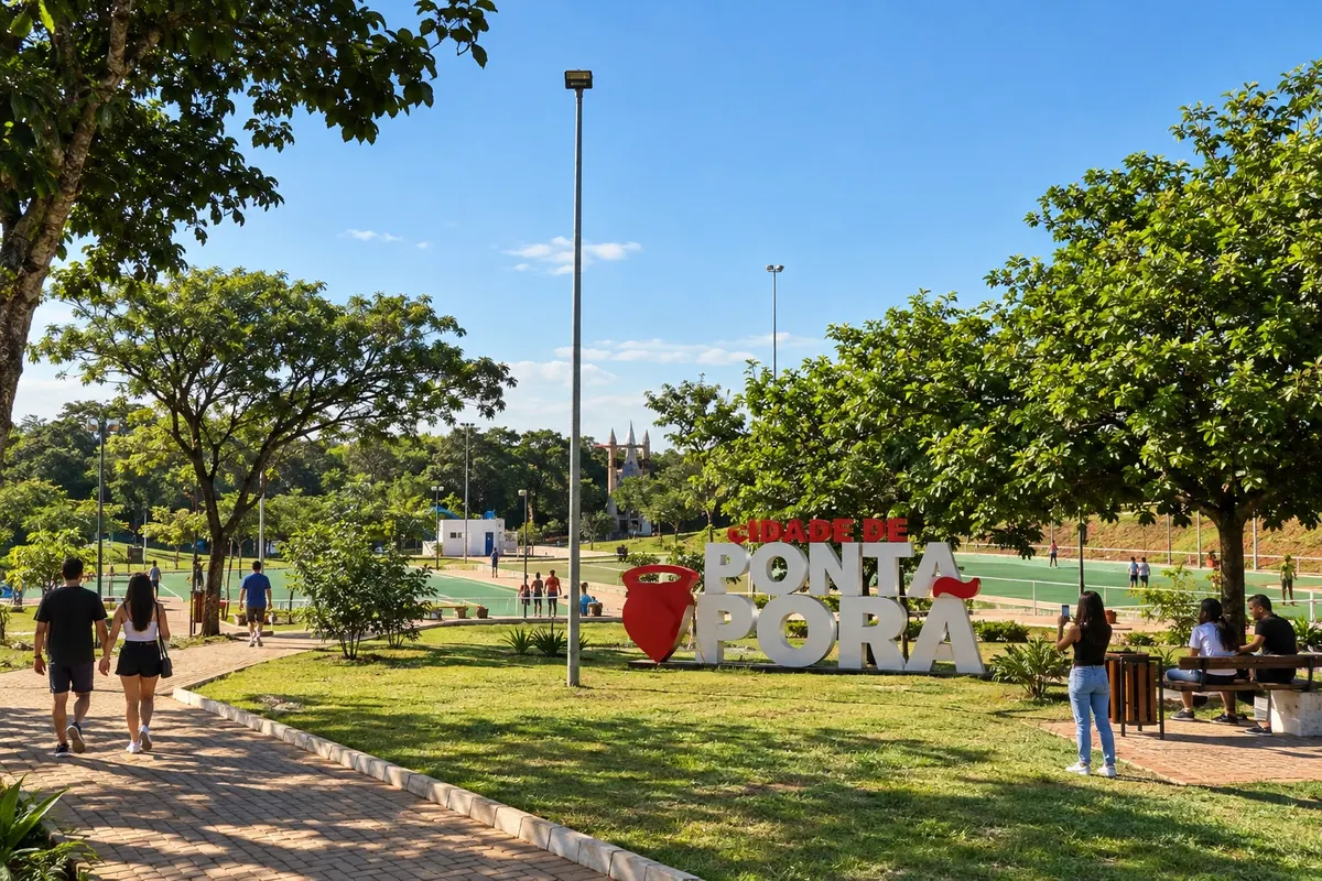 3 · MS
Ponta Porã
Border base, with a visit to the Horto Florestal.
→ Antônio João De Ponta Porã, use o acesso pelo eixo da MS-164 e entre na MS-384 em direção a Antônio João. A ligação permanece no lado brasileiro da fronteira.
-
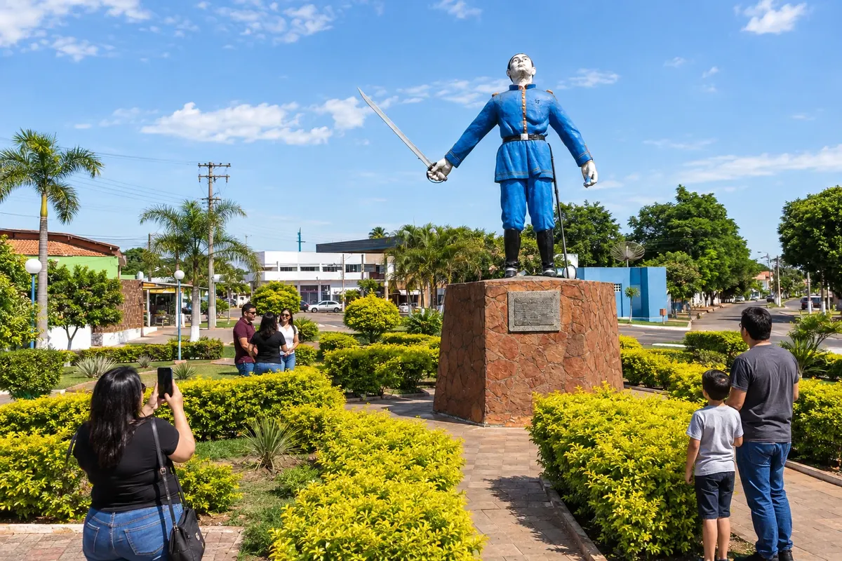 4 · MS
Antônio João
The monument to Antônio João Ribeiro provides a way to learn about a historical reference of the town.
→ Bela Vista Antônio João e Bela Vista se conectam pela MS-384, com ligação ao eixo da BR-060. A via tem tráfego de veículos pesados; os pontos de memória da fronteira exigem paradas fora da pista.
-
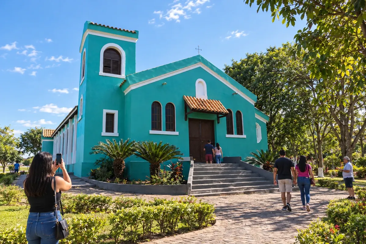 5 · MS
Bela Vista
Stop to see local heritage, such as the Igreja São Patrício.
→ Porto Murtinho Uma ligação entre Bela Vista e Porto Murtinho segue pela MS-384, passando por Caracol, até a BR-267. Confira as condições da estrada e use o acesso urbano de Porto Murtinho para chegar ao Rio Paraguai.
-
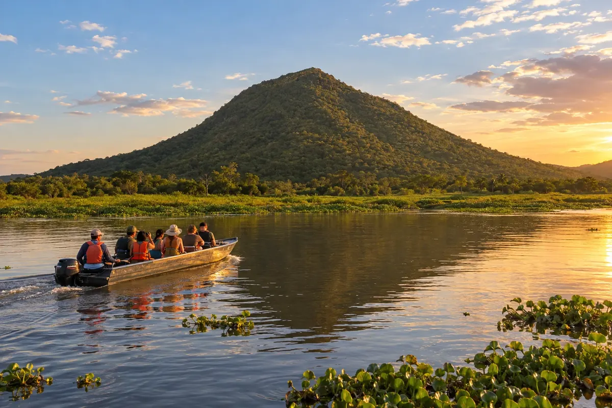 6 · MS
Porto Murtinho
The landscape of the Rio Paraguai and its surroundings characterizes this part of the trip.
→ Jardim Saindo de Porto Murtinho, a BR-267 leva a Jardim. A etapa deixa a base ribeirinha do Rio Paraguai em direção ao interior; os passeios naturais de Jardim têm acessos separados da rodovia.
-
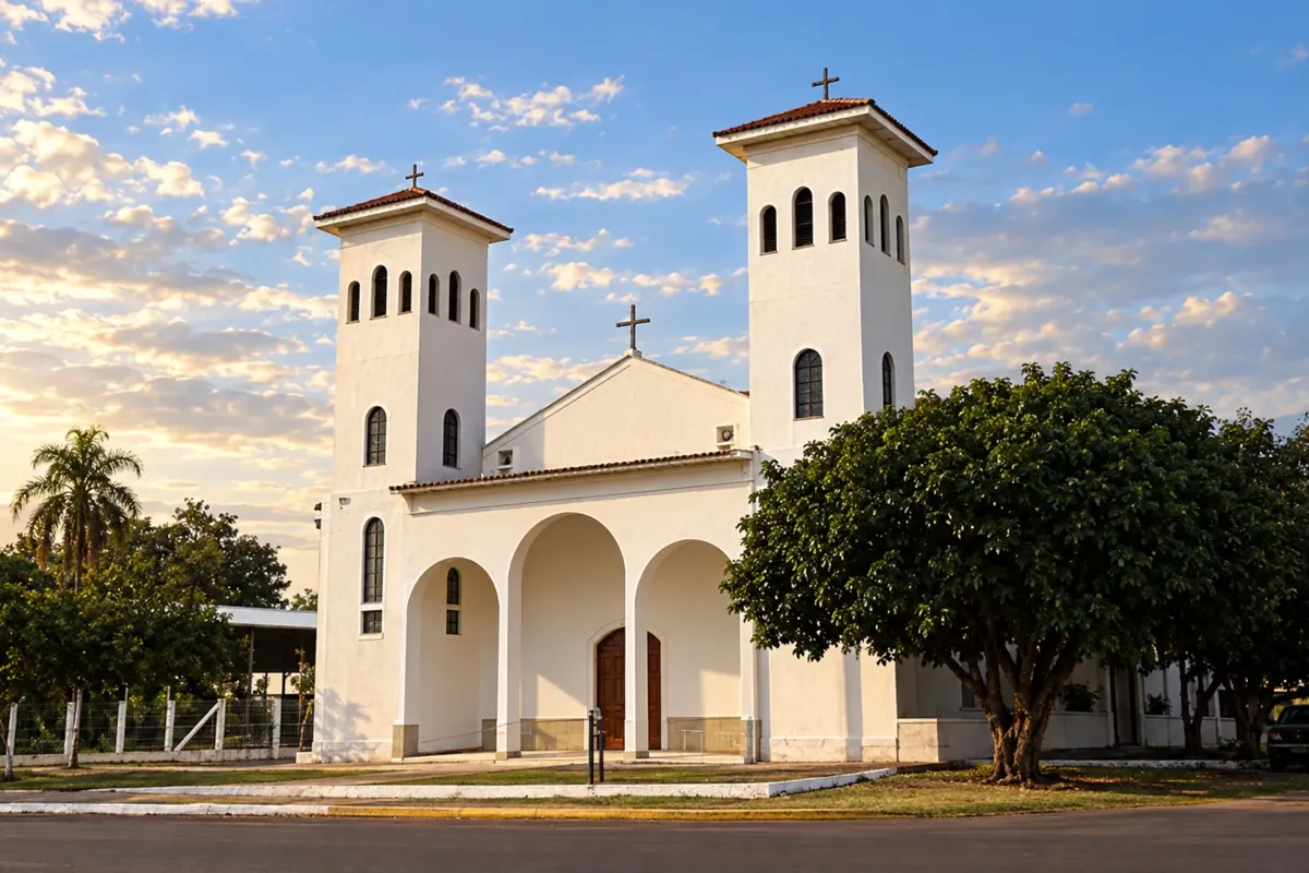 7 · MS
Jardim
One of the bases in the Bonito and Serra da Bodoquena region.
→ Guia Lopes da Laguna Jardim e Guia Lopes da Laguna ficam ligados na região do Rio Miranda. Para usar a Ponte Velha, confira as restrições de altura; veículos incompatíveis devem utilizar outra travessia indicada localmente.
-
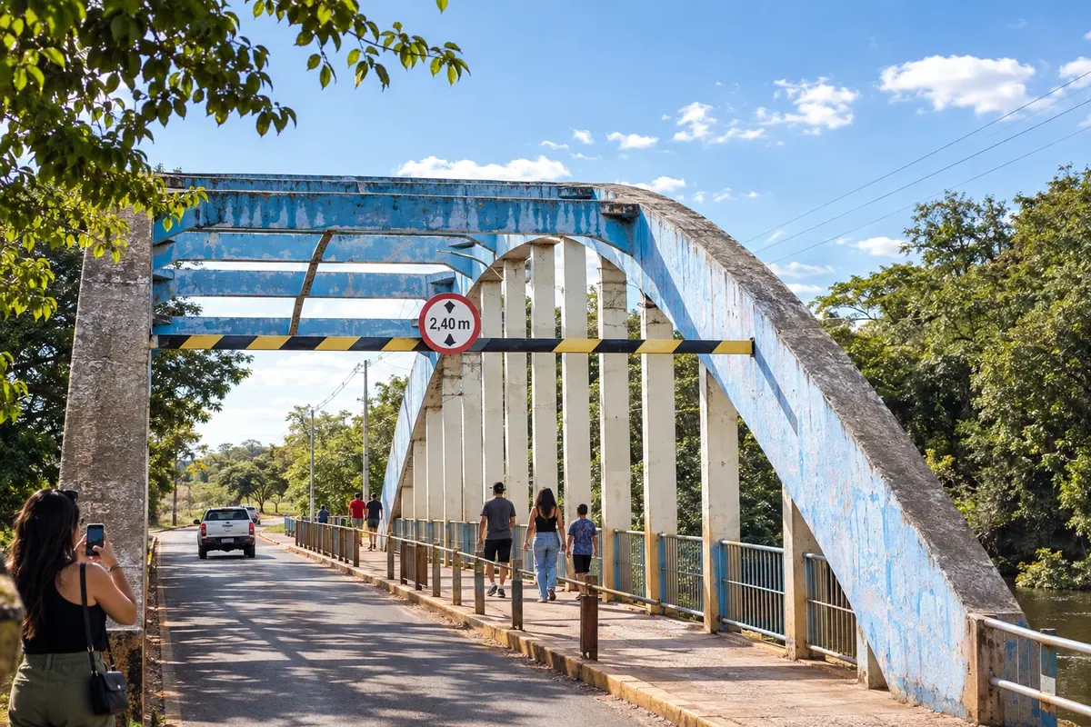 8 · MS
Guia Lopes da Laguna
The connection with Jardim and the Ponte Velha over the Rio Miranda are part of the local landscape.
→ Nioaque De Guia Lopes da Laguna, siga pelo eixo da BR-060/BR-419 para Nioaque. É uma ligação terrestre pelo interior, com entrada própria para a sede de Nioaque e para atividades culturais agendadas.
-
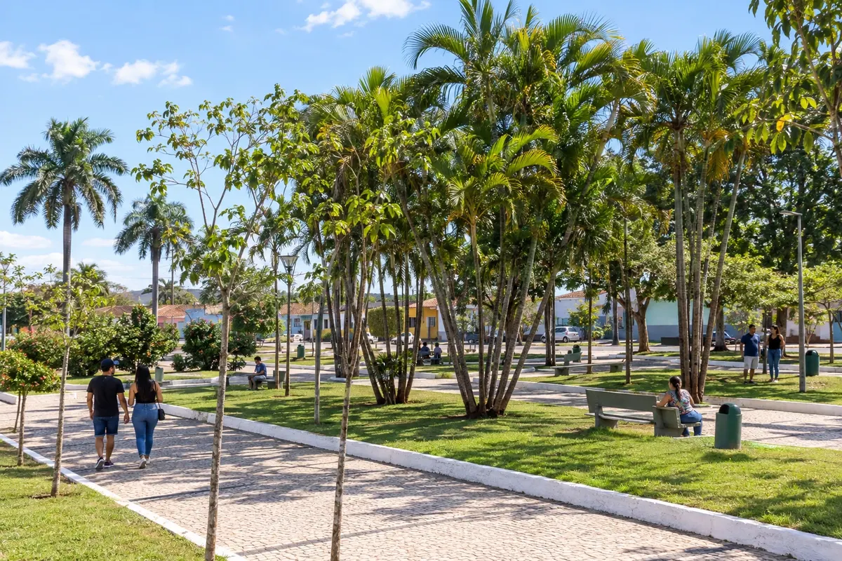 9 · MS
Nioaque
Urban stop that allows reorganizing the continuation of the itinerary.
→ Bonito Para ir de Nioaque a Bonito por rodovia, retorne pelo eixo da BR-060/BR-419 a Guia Lopes da Laguna e use a MS-382. A sequência entre as bases não representa uma ligação direta em linha reta.
-
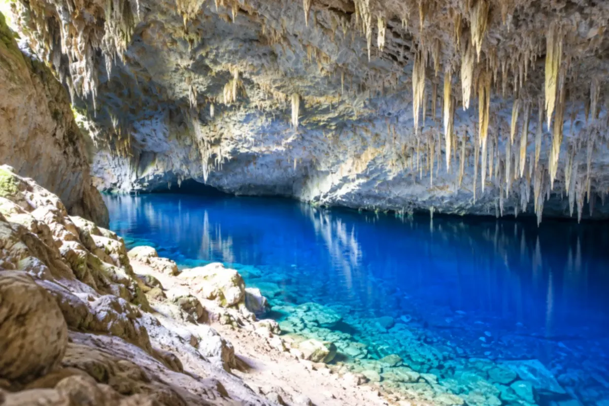 10 · MS
Bonito
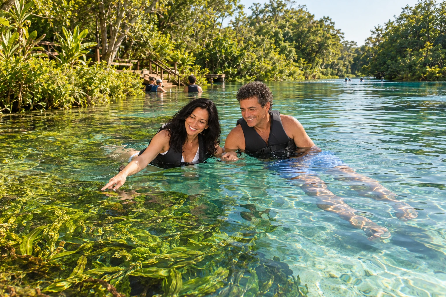
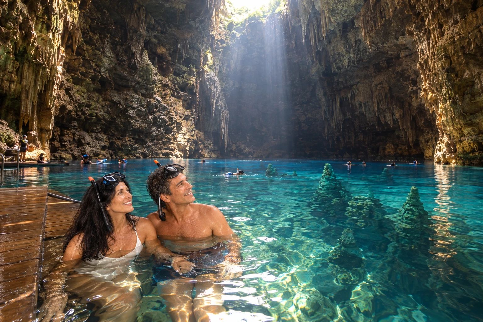
Base for organizing nature tours, including rivers and caves.
→ Bodoquena Bonito e Bodoquena se ligam pela MS-178, atravessando a região serrana. Os acessos aos passeios partem de pontos próprios; atenção à fauna silvestre nas margens da estrada.
-
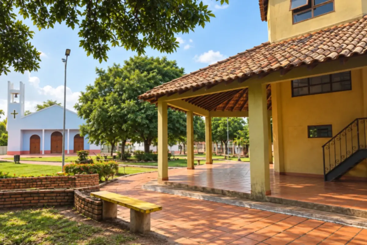 11 · MS
Bodoquena
Allows combining the landscapes of the Serra da Bodoquena with the regional trip.
→ Miranda De Bodoquena a Miranda, a ligação utiliza a MS-339. A estrada conecta a região da serra à base pantaneira; acompanhe a sinalização e mantenha atenção à travessia de animais.
-
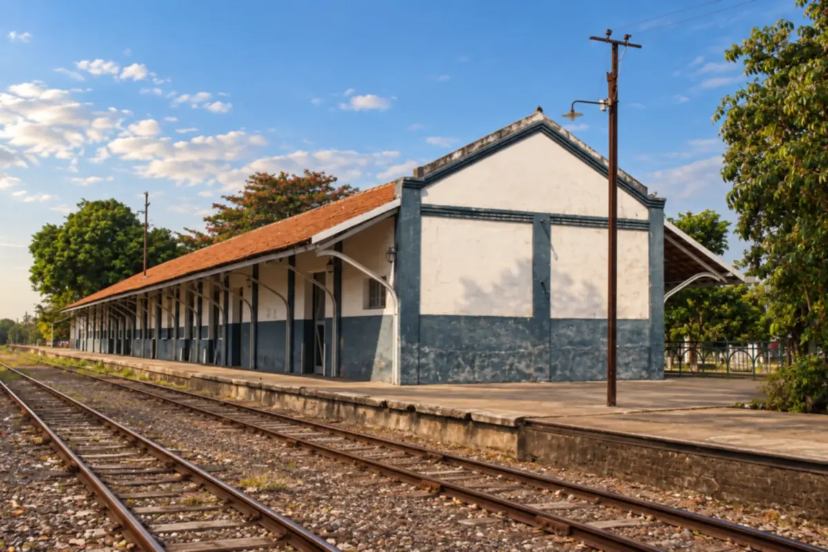 12 · MS
Miranda
One of the bases for tours through the Pantanal region.
→ Anastácio Miranda e Anastácio se ligam pela BR-262. O percurso atravessa a região pantaneira e exige atenção aos animais silvestres; para conhecer o Porto Canuto, organize um acesso local separado.
-
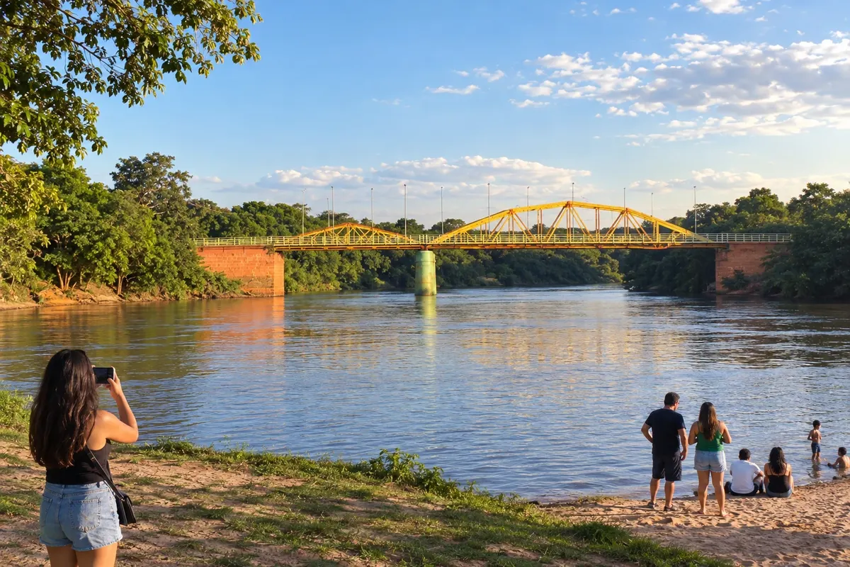 13 · MS
Anastácio
The Prainha by the Rio Aquidauana can be included in the urban tour.
→ Aquidauana Anastácio e Aquidauana ficam em margens distintas do Rio Aquidauana, ligadas pela Ponte da Amizade. Use a travessia urbana indicada e considere os acessos próprios ao centro histórico da cidade vizinha.
-
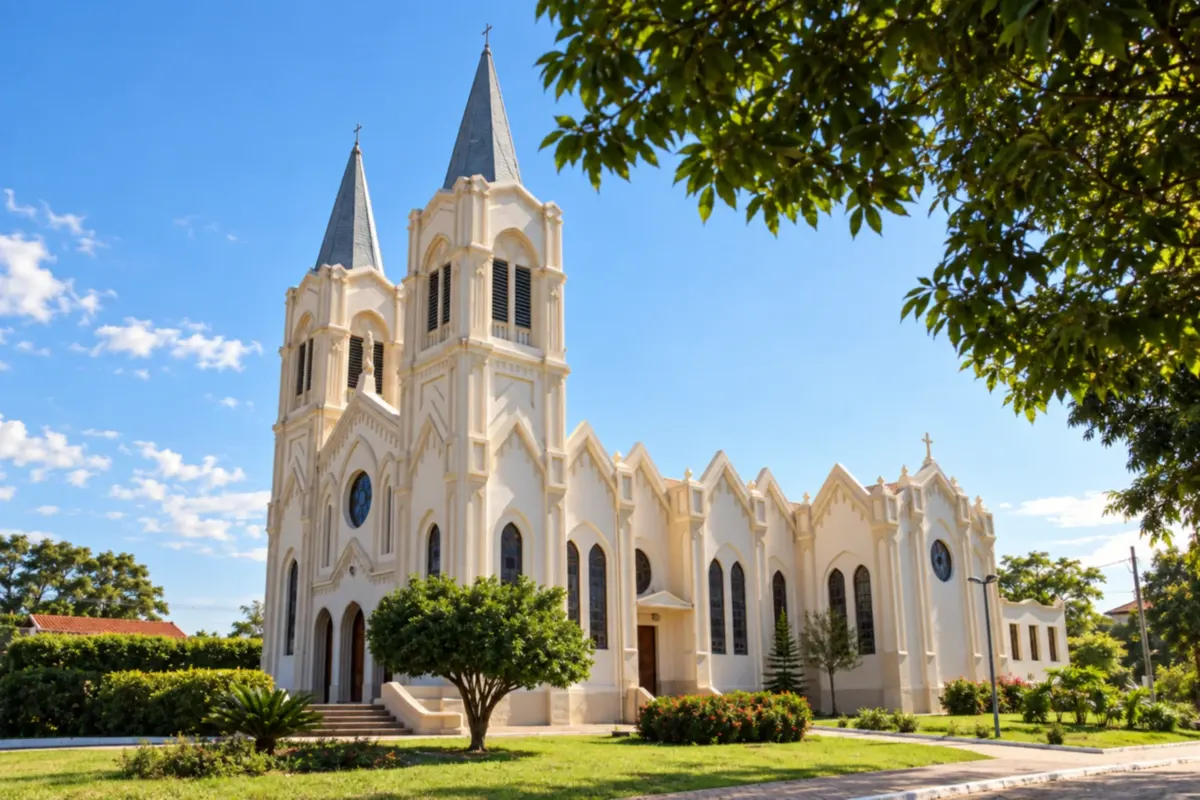 14 · MS
Aquidauana
Base in the pantanal region, adjacent to Anastácio.
→ Ladário De Aquidauana, acesse a BR-262 e siga por Miranda em direção à região de Corumbá, entrando no acesso a Ladário. A viagem atravessa paisagens pantaneiras; evite parar no acostamento para observar animais.
-
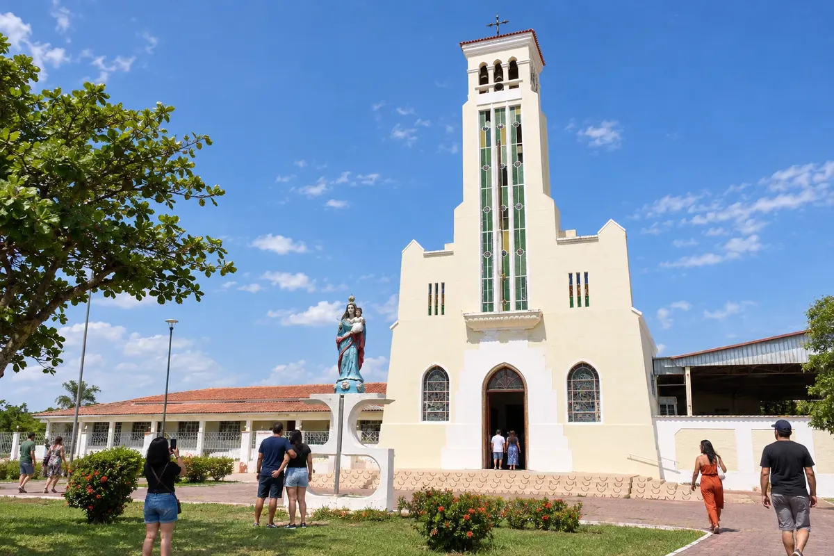 15 · MS
Ladário
Municipality neighboring Corumbá, with heritage such as the Igreja Nossa Senhora dos Remédios.
→ Corumbá Ladário e Corumbá são cidades vizinhas, com ligação local entre suas áreas urbanas. Defina se a chegada será ao centro de Corumbá ou ao porto, pois o embarque fluvial exige endereço próprio.
-
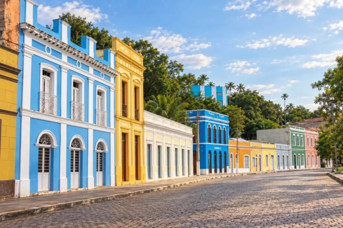 16 · MS
Corumbá
Pantanal and Rio Paraguai base to organize tours and conclude this route.
Fotografije popotnikov
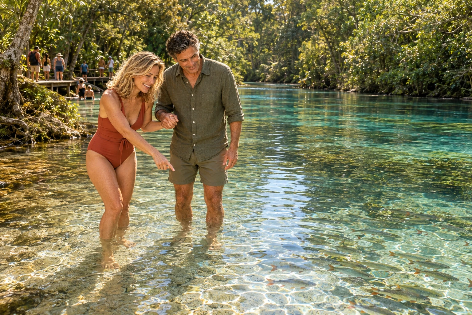
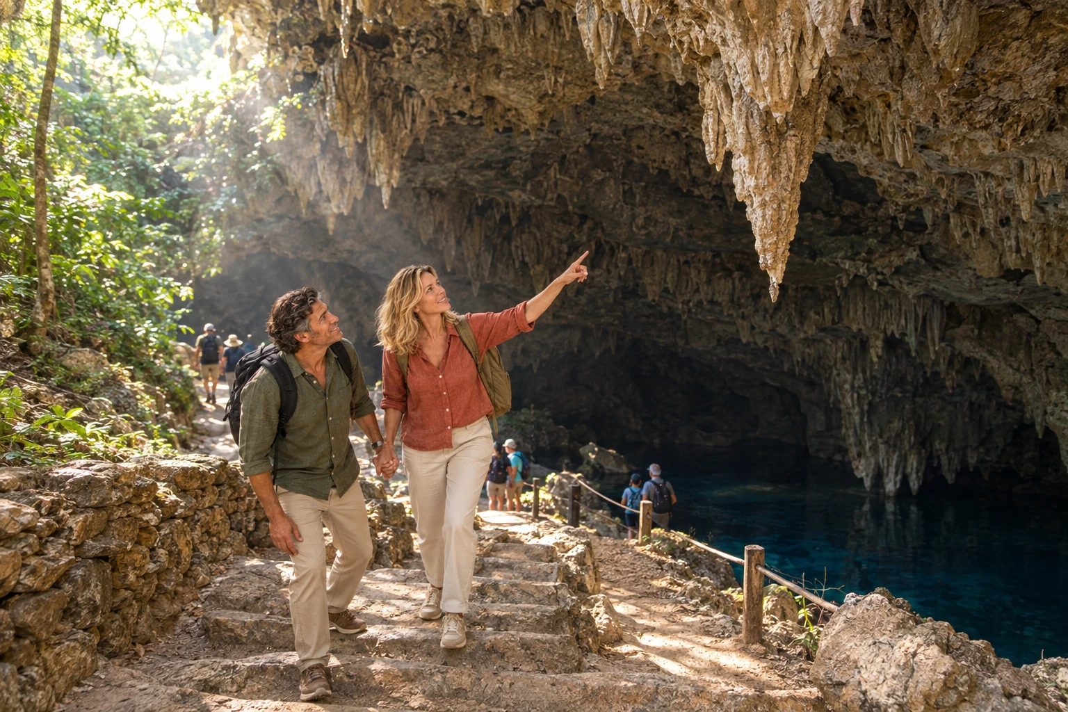
Pantanal–Bonito Route skozi oči popotnikov
Koliko dni
We suggest twelve to eighteen days to visit all the bases with pauses. For a shorter trip, choose the Pantanal–Bonito section or part of the municipalities. The duration is an editorial suggestion.
Najboljši čas za obisk
Rain and river levels change access and landscapes. Choose dates according to the tours you want and confirm conditions with the bases; keep alternatives to reorganize nature activities.
The seasons shown are the most usual ones; nature doesn't always follow the calendar.
Kako prepotovati pot
Organize the road connections between municipalities and book nature tours separately. The diagram shows the sequence of bases and does not replace a navigation map. Check access points, return routes and the rules for each activity.
Komu je pot namenjena
For those who want to combine river landscapes, nature tours and cities of Mato Grosso do Sul by organizing the trip from different bases.
Odgovori na vaša vprašanja
Pogosta vprašanja – Pantanal–Bonito Route
A rota é uma estrada contínua?
Não. Ela reúne municípios e regiões turísticas ligados por diferentes acessos rodoviários.
Preciso visitar os dezesseis municípios?
No. You can choose the Pantanal–Bonito segment or organize a broader trip through the south and the border.
Is the order mandatory?
No. This itinerary suggests a sequence of bases; it can be adapted to the excursions and your arrival point.
Are the tours included in the legs between cities?
No. Tours on rivers, caves and other landscapes require their own access and time.
Is Campo Grande part of the itinerary?
Yes. The capital appears as a stop and a reference arrival point to organize the trip through the state.
Can I make the trip without driving?
Yes, by arranging transport between the bases and the access points for each tour. Check the connections before booking.
Več kot vodnik


