

 Antarktika
 Argentina
 Bolivija
 Čile
 Kolumbija
 Ekvator
 Gvajana
 Francoska Gvajana
 Falklandski otoki (Malvini)
 Paragvaj
 Peru
 Surinam
 Urugvaj
 Venezuela
 Nemčija
 Avstrija
 Belgija
 Hrvaška
 Danska
 Slovaška
 Slovenija
 Španija
 Finska
 Francija
 Grčija
 Nizozemska
 Madžarska
 Irska
 Islandija
 Italija
 Luksemburg
 Norveška
 Poljska
 Portugalska
 Združeno kraljestvo
 Češka
 Švedska
 Švica
 Turčija
 Bermudi
 Kanada
 Združene države Amerike
 Grenlandija
 Mehika
 Sveta Peter in Mihael
 Dominikanska republika
 Japonska
 Južnoafriška republika
 Egipt
 Avstralija
 Fidži
 Nova Zelandija
 Papua Nova Gvineja
Pot · BA
Discovery Coast
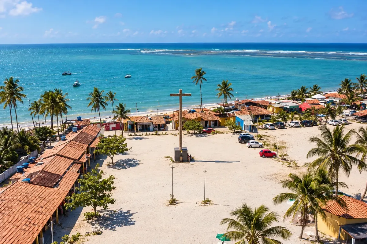
Between Belmonte, Santa Cruz Cabrália and Porto Seguro, the coastline brings together estuaries, historical heritage and communities linked to Pataxó culture.
Na fotografiji: Coroa Vermelha on the Discovery Coast, in Santa Cruz Cabrália.
Illustrative images. The pictures in this guide are illustrations based on the real place, not photographs, and may differ from it.


Pot
Discovery Coast – predstavitev
The Discovery Coast can be traveled as a coastal trip between Belmonte, Santa Cruz Cabrália and Porto Seguro. The Jequitinhonha River shapes the landscape of Belmonte, while Cidade Alta and Coroa Vermelha mark different chapters of Cabrália’s history. In Porto Seguro, the historic center complements the beaches and the settlements of Arraial d’Ajuda, Trancoso and Caraíva.
The route includes road stretches and crossings. The BA-001 follows the coast between Belmonte and the north bank of the João de Tiba River; a ferry crossing leads to Cabrália. The BR-367 runs along the coast to Porto Seguro. South of the center, the Buranhém crossing and local roads organize access to Arraial and Trancoso. Caraíva is reached by a dirt road approach and a final canoe crossing.
The trip highlights both protected heritage and the communities living on the coast. Experiences in indigenous territories should be arranged with the hosts. The localities that belong to Porto Seguro remain part of the same municipal stop.
Zemljevid
Število mest na poti: 3
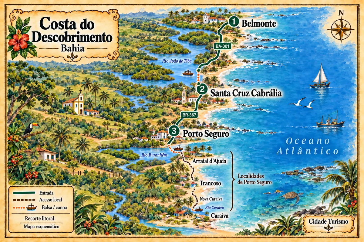
Zemljevid: @svg-maps/brazil, CC BY 4.0
Potek poti
Od mesta do mesta
Razdalje in časi so okvirni. Preverite jih pred odhodom.
-
 1 · BA
Belmonte
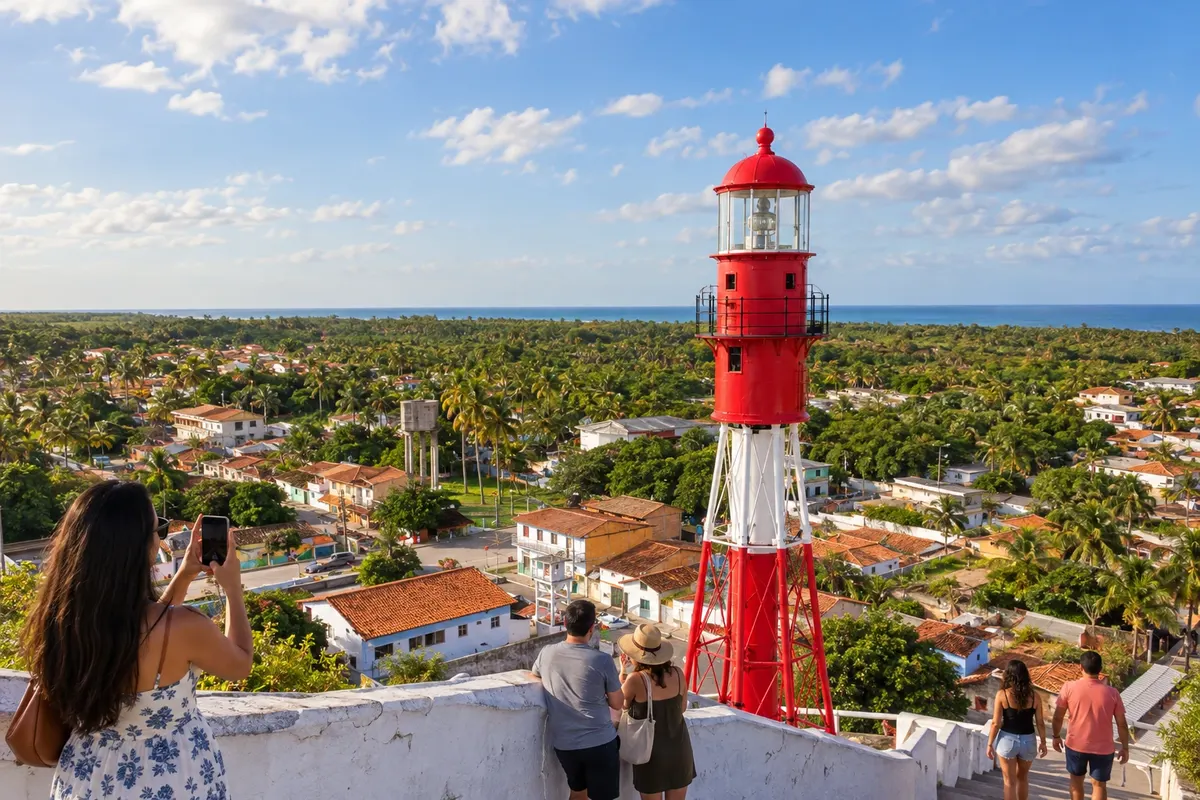
Belmonte sits by the mouth of the Jequitinhonha River and preserves houses associated with the cocoa cycle. The lighthouse in the center and the beaches along the coast reveal different aspects of the municipality. The southbound route uses the BA-001, crossing the landscape between the estuary and rural settlements.
→ Santa Cruz Cabrália The BA-001 links Belmonte to the north bank of the João de Tiba River, passing coastal settlements. Arrival at the center of Santa Cruz Cabrália by the coast includes the ferry that crosses the river; arrange the crossing with the chosen transport.
-
 2 · BA
Santa Cruz Cabrália
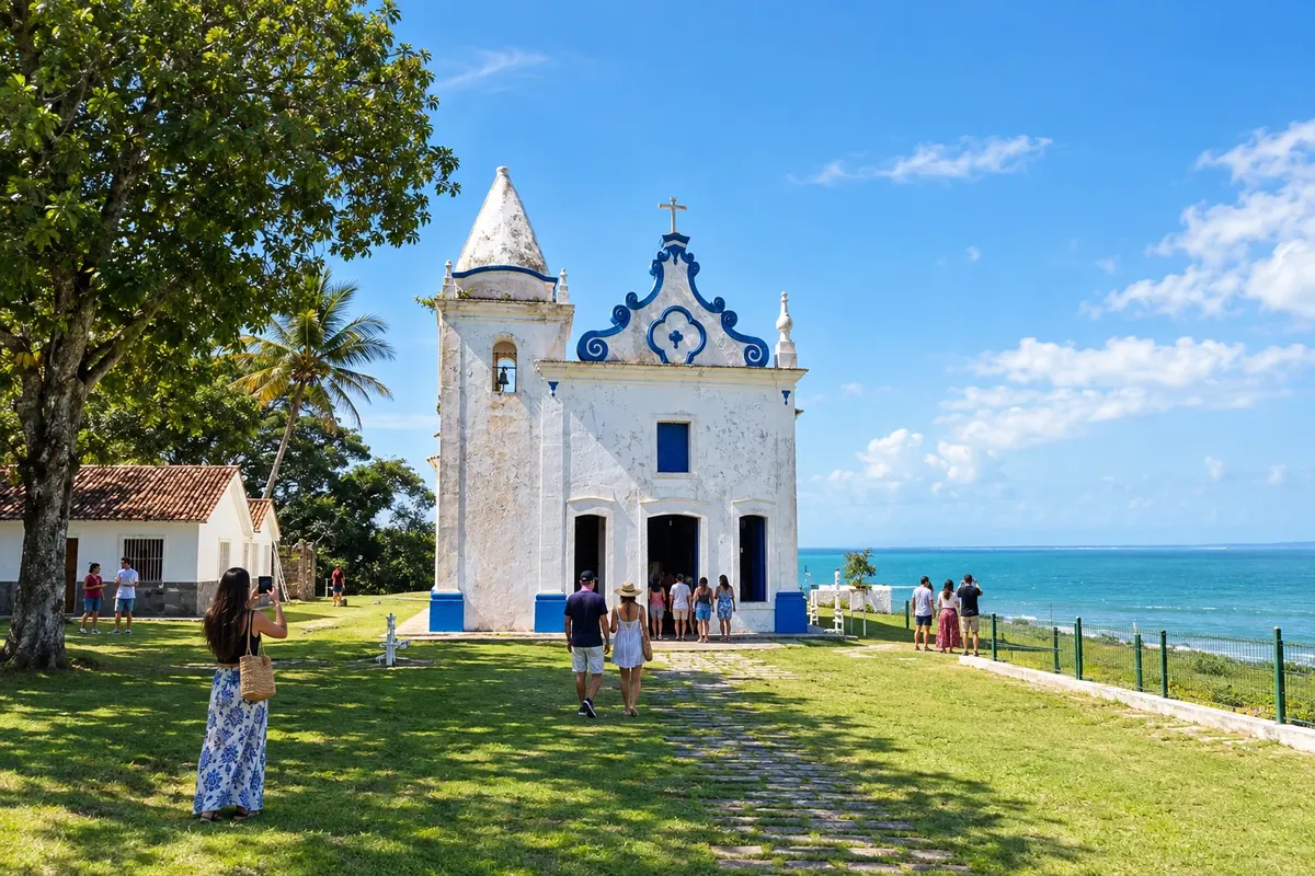
Santa Cruz Cabrália brings together Cidade Alta, with the Igreja de Nossa Senhora da Conceição and the old Casa de Câmara e Cadeia, and Coroa Vermelha, associated with the memory of the first mass and the Pataxó presence. The João de Tiba River separates the center from the beaches of Santo André. The heritage and the shoreline require separate movements within the municipality.
→ Porto Seguro The BR-367 follows Cabrália’s shoreline to Porto Seguro, passing Coroa Vermelha and accesses to the urban beaches. This link between the two centers is on a paved road, without the João de Tiba River ferry.
-
 3 · BA
Porto Seguro
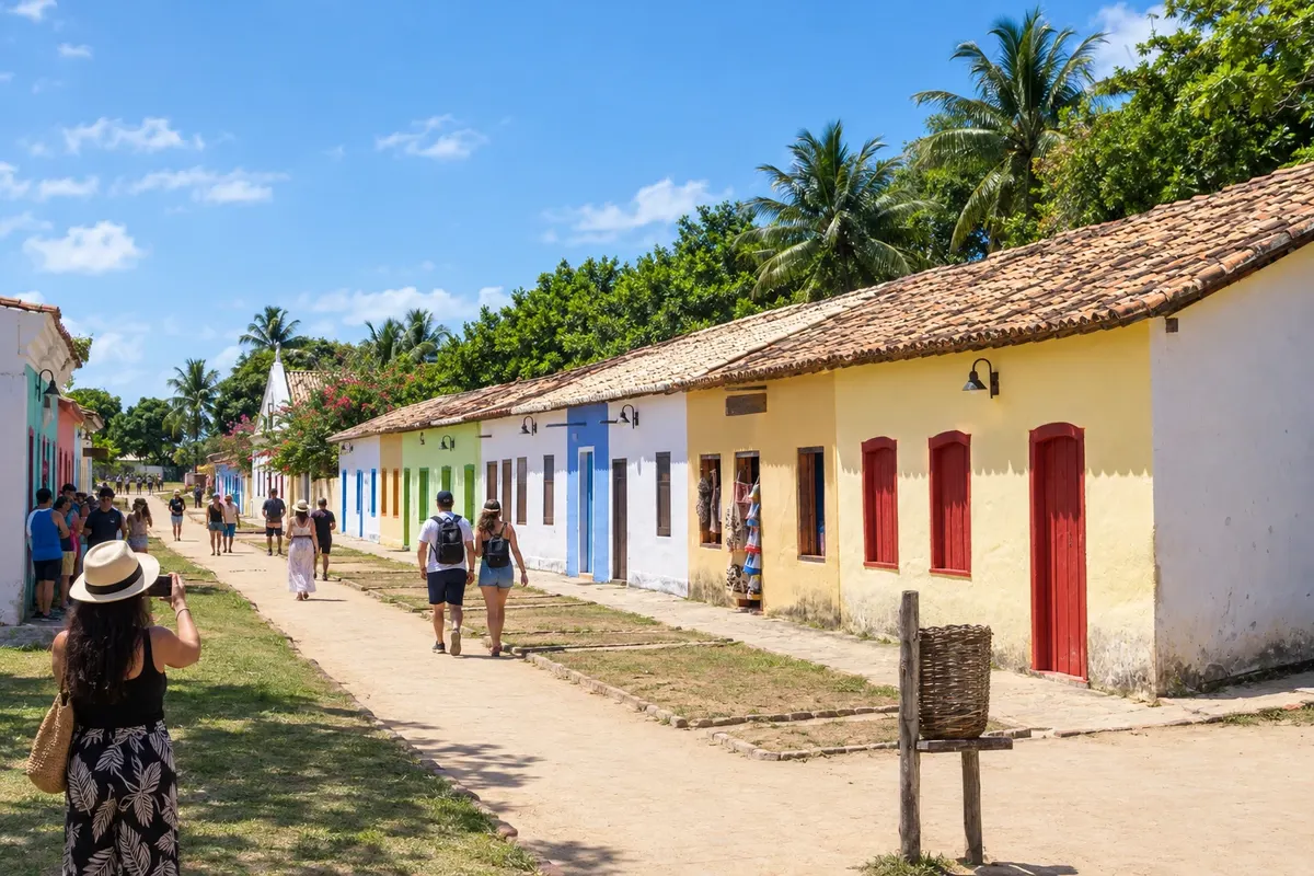
Porto Seguro is one of the tourist centers of southern Bahia, with a Historic Center, urban beaches and a Pataxó cultural presence. Arraial d’Ajuda, Trancoso’s Quadrado and the village of Caraíva belong to the same municipality. The Buranhém and the Caraíva River add different crossings to road access, so these places deserve separate stages from the visit to the center.
Koliko dni
Allow five to eight days if you want to spread the trip across the coast of Belmonte, Cabrália and the Porto Seguro settlements. Caraíva requires special attention for access and luggage.
Najboljši čas za obisk
Rainfall occurs throughout the year, generally higher in March and April and in November and December. August and September tend to be drier and milder for walking through the townscapes. On the reefs, choose departures at low tide; in the estuaries, boarding also depends on the river’s condition. From December to February, high season typically increases activity at the beaches and crossings.
The seasons shown are the most usual ones; nature doesn't always follow the calendar.
Kako prepotovati pot
North–south, use the BA-001 from Belmonte to the João de Tiba River crossing to Cabrália and the BR-367 to Porto Seguro. Within Porto Seguro, plan Arraial d’Ajuda, Trancoso and Caraíva as local stages. Vehicles remain on the Nova Caraíva side before the canoe crossing; confirm crossings before you go.
Komu je pot namenjena
For travelers who want to alternate beaches, historic centers, river landscapes and experiences led by local communities, and who are willing to combine car, ferry and canoe.
Odgovori na vaša vprašanja
Pogosta vprašanja – Discovery Coast
Are Arraial d’Ajuda, Trancoso and Caraíva different towns?
The three localities belong to Porto Seguro. You can split nights among them, but the itinerary counts as a single municipal stop in Porto Seguro.
Where does the coastal route use a ferry?
Between Belmonte and Cabrália’s center, the BA-001 reaches the João de Tiba River crossing. In Porto Seguro, the Buranhém crossing is an option to reach Arraial d’Ajuda. Confirm each operation before traveling.
Does the car reach the village of Caraíva?
The road approach ends on the Nova Caraíva bank. Passage to the village is by canoe, and local movement is along sandy paths; plan your luggage for this stage.
Can I see the coast from a single base?
One base makes nearby outings easier but increases returns on more distant stages. Splitting nights among chosen settlements reduces travel and lets you dedicate full periods to local access.
How to arrange an experience in a Pataxó community?
Choose a visit hosted and guided by the community itself, arrange the entry and follow their guidelines on movement, photography and available activities.
Več kot vodnik


