Slap
Cachoeira do Sobradinho
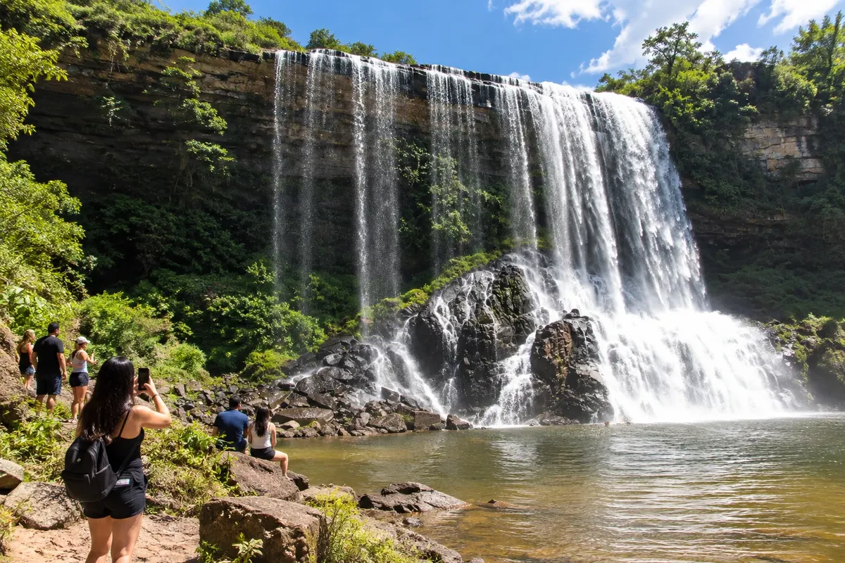
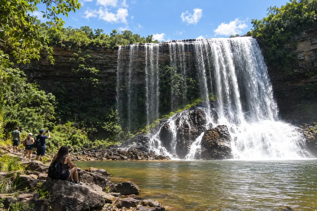
Waterfall also known as Véu da Noiva, located in the rural area of Sengés.
Raziščite Cachoeira do Sobradinho

 Išči
Brazilija
 Antarktika
 Argentina
 Bolivija
 Čile
 Kolumbija
 Ekvator
 Gvajana
 Francoska Gvajana
 Falklandski otoki (Malvini)
 Paragvaj
 Peru
 Surinam
 Urugvaj
 Venezuela
 Nemčija
 Avstrija
 Belgija
 Hrvaška
 Danska
 Slovaška
 Slovenija
 Španija
 Finska
 Francija
 Grčija
 Nizozemska
 Madžarska
 Irska
 Islandija
 Italija
 Luksemburg
 Norveška
 Poljska
 Portugalska
 Združeno kraljestvo
 Češka
 Švedska
 Švica
 Turčija
 Bermudi
 Kanada
 Združene države Amerike
 Grenlandija
 Mehika
 Sveta Peter in Mihael
 Dominikanska republika
 JaponskaTurčija
 Južnoafriška republika
 Egipt
 Avstralija
 Fidži
 Nova Zelandija
 Papua Nova Gvineja
Paraná · Brazilija
Destinacija: Campos Gerais.
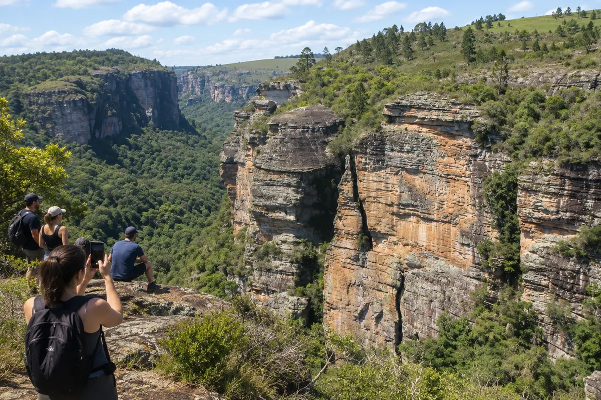
Na fotografiji: Queda do Sobradinho in the rural landscape of Sengés.
Illustrative images. The pictures in this guide are illustrations based on the real place, not photographs, and may differ from it.
Mesto
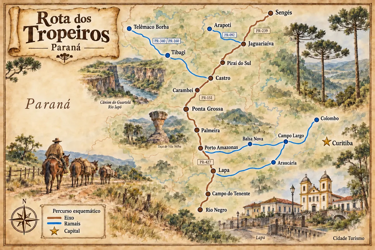
Sengés occupies the valleys on the edge of the Campos Gerais, near the São Paulo border. The Jaguaricatu landscape and the Cachoeira do Sobradinho give identity to nature outings, while the railway corridor marked timber exploitation and the town's development. The PR-151 and PR-239 connect the town to the axis coming from Jaguariaíva.
Sengés – število nastanitev: 11.
Sengés – število lokalov: 3.
kako do tja · koliko dni · načrt poti · vprašanja
Sengés – nazivi in posebnosti
Doživite kraj
Waterfall also known as Véu da Noiva, located in the rural area of Sengés.
Raziščite Cachoeira do Sobradinho
Valley of cliffs in the rural area of Sengés, traversed by paths for observing the terrain.
Raziščite Cânion do Jaguaricatu
Pred odhodom
Sengés – PR Destinacija Campos Gerais
The route from Jaguariaíva uses PR-151 and the connection with PR-239. Waterfalls and valleys require local access, including rural roads and private areas.
Two days allow choosing separate outings to Sobradinho and to the Jaguaricatu valley, with reception and return arranged.
In Sengés, July and August usually have less rain than January, but water conditions respond to the basin. March, April and September are alternatives for outdoor routes; December to February tends to bring heat and rain.
The seasons shown are the most usual ones; nature doesn't always follow the calendar.
A car or combined tour transport is useful to get out of the town center. Confirm the rural stretches, access authorizations and whether a driver is required for each activity.
Predlog poti
Pot povezuje znamenitosti na tej strani. Za oglede boste imeli dovolj časa.
Dan 1
Make the combined route to the authorized observation sector, allowing time for the rural road.
Dan 2
Choose the permitted outing with the person in charge, keeping the accesses and return defined.
Check before you go. Opening hours and days change, and places may close for renovations, holidays or events. This itinerary is a suggestion from Cidade Turismo, not a commitment: plan yours by checking directly with each place you intend to visit.
Pred odhodom
Nature visits use specific rural accesses. Identify the chosen location and the route provided by the person in charge.
Areas of the valley have different conditions and authorizations. Confirm the permitted route and the transport/driver arrangements before setting out.
It is also known as Véu da Noiva. Use the location in Sengés to distinguish this waterfall from places with the same name.
Observing the waterfall and entering the water are separate choices. Follow the rules and conditions provided at the access.
Brazilske poti
Historic routes, museums and landscapes between southern Paraná, the Curitiba Metropolitan Region and the Campos Gerais.
Več kot vodnik