Park
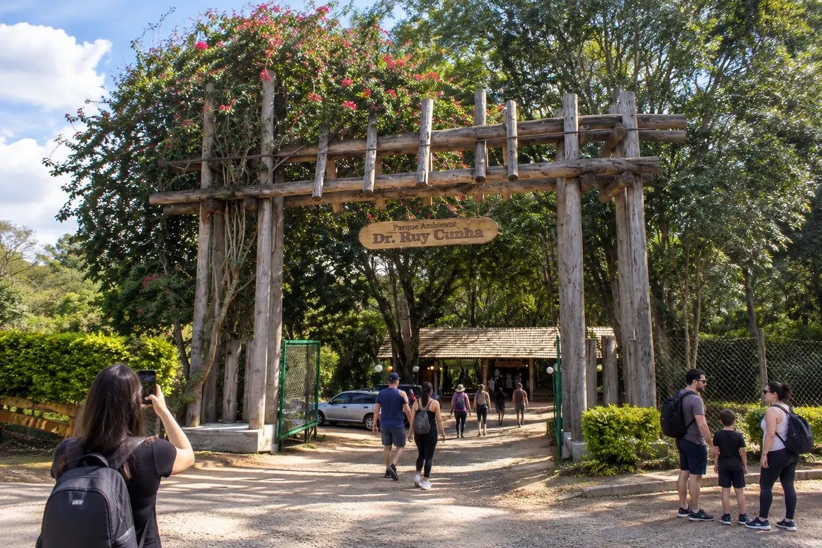
Parque Ambiental Dr. Ruy Cunha
Urban park in Jaguariaíva with vegetation, walking paths and leisure areas.
Raziščite Parque Ambiental Dr. Ruy Cunha

 Išči
Brazilija
 Antarktika
 Argentina
 Bolivija
 Čile
 Kolumbija
 Ekvator
 Gvajana
 Francoska Gvajana
 Falklandski otoki (Malvini)
 Paragvaj
 Peru
 Surinam
 Urugvaj
 Venezuela
 Nemčija
 Avstrija
 Belgija
 Hrvaška
 Danska
 Slovaška
 Slovenija
 Španija
 Finska
 Francija
 Grčija
 Nizozemska
 Madžarska
 Irska
 Islandija
 Italija
 Luksemburg
 Norveška
 Poljska
 Portugalska
 Združeno kraljestvo
 Češka
 Švedska
 Švica
 Turčija
 Bermudi
 Kanada
 Združene države Amerike
 Grenlandija
 Mehika
 Sveta Peter in Mihael
 Dominikanska republika
 JaponskaTurčija
 Južnoafriška republika
 Egipt
 Avstralija
 Fidži
 Nova Zelandija
 Papua Nova Gvineja
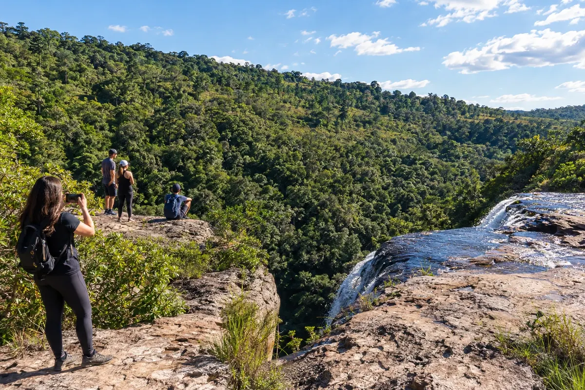
Paraná · Brazilija
Destinacija: Campos Gerais.
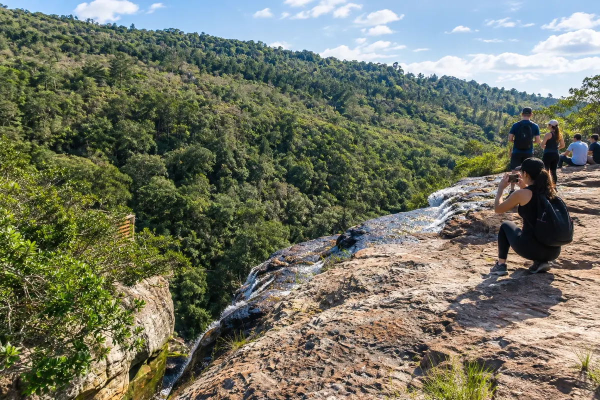
Na fotografiji: Rocks and vegetation of the Parque Estadual do Cerrado.
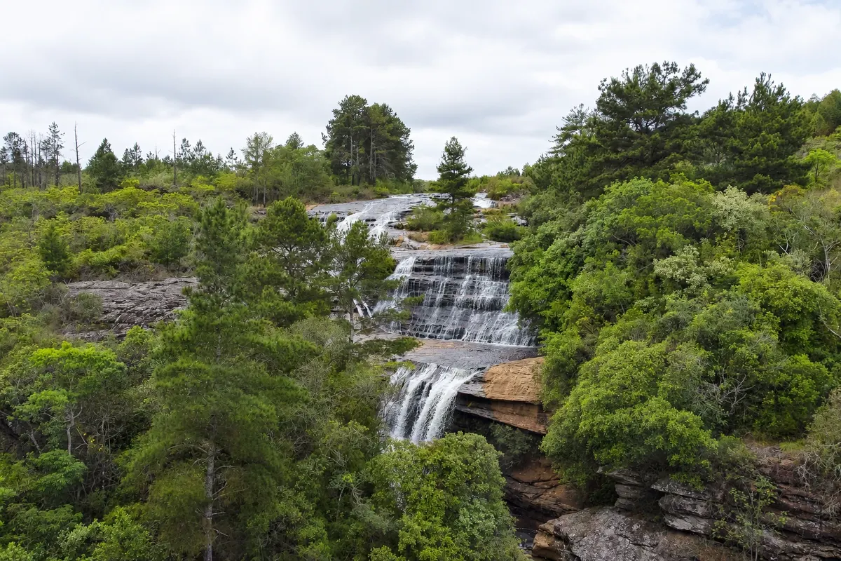
Illustrative images. The pictures in this guide are illustrations based on the real place, not photographs, and may differ from it.
Mesto
Jaguariaíva preserves the drovers' crossing of its river and the industrial heritage associated with the name Matarazzo. The Parque Ambiental Dr. Ruy Cunha links the urban stroll to that history, while the Parque Estadual do Cerrado protects another plateau landscape. The city connects PR-151 to the accesses to Sengés and to the PR-092 branch toward Arapoti.
Jaguariaíva – število nastanitev: 35.
Jaguariaíva – število lokalov: 5.
kako do tja · koliko dni · načrt poti · vprašanja
Jaguariaíva – nazivi in posebnosti
Brazilske poti
Historic routes, museums and landscapes between southern Paraná, the Curitiba Metropolitan Region and the Campos Gerais.
Doživite kraj
Urban park in Jaguariaíva with vegetation, walking paths and leisure areas.
Raziščite Parque Ambiental Dr. Ruy Cunha
Conservation unit in Jaguariaíva with fields, cerrado vegetation and environmental interpretation trails.
Raziščite Parque Estadual do Cerrado
State park in the Campos Gerais, near the town of Jaguariaíva, featuring the canyon of the Lajeado Grande River, sandstone cliffs and the Véu da Noiva, Lago Azul and das Andorinhas waterfalls, connected by trails.
Raziščite Vale do Codó State Park
Pred odhodom
Jaguariaíva – PR Destinacija Campos Gerais
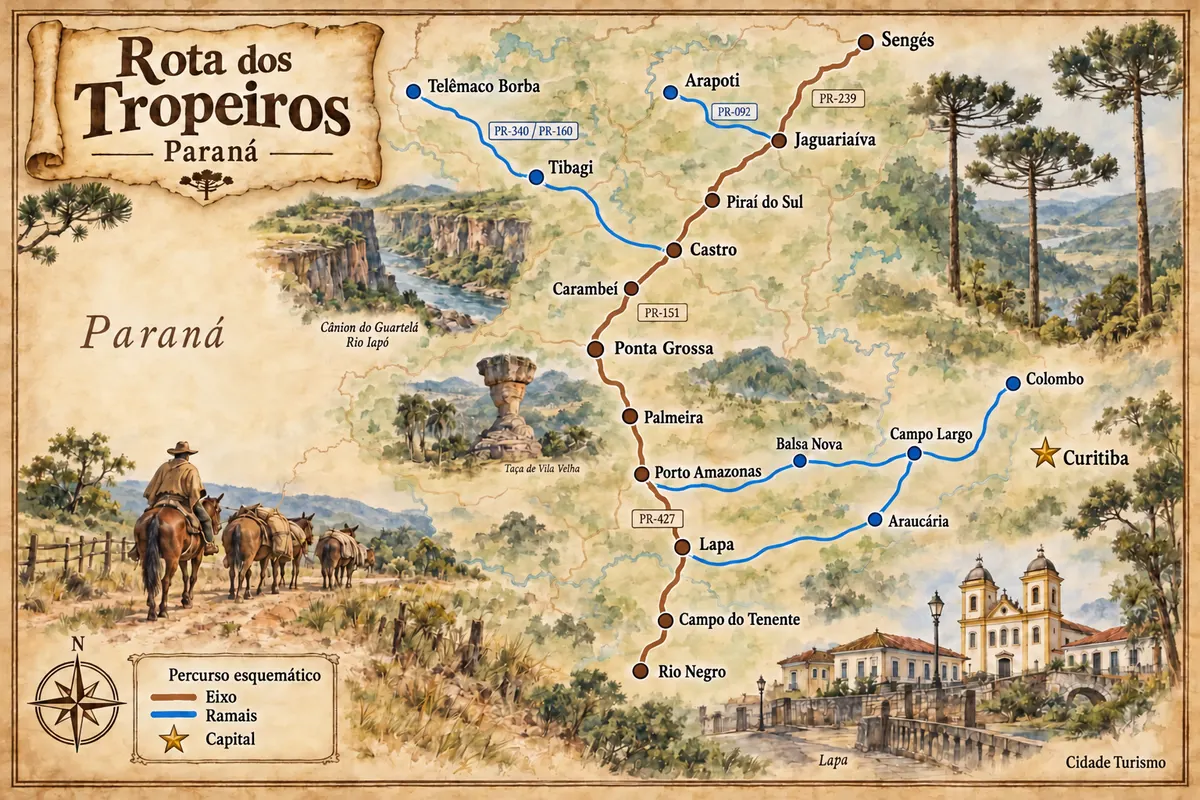
PR-151 reaches Jaguariaíva from Piraí do Sul. The connection with PR-239 continues to Sengés; PR-092 provides access to the Arapoti spur. The Parque Estadual do Cerrado has its own local turnoff.
Allow two days to separate the urban visit from the trip to the Parque Estadual do Cerrado.
July and August tend to have less rain than January in Jaguariaíva, with lower temperatures. April and September are alternatives for walks; from December to February it’s more common to encounter summer heat and rain.
The seasons shown are the most usual ones; nature doesn't always follow the calendar.
The urban parks and the Parque Estadual do Cerrado have separate accesses. A car or hired transport makes it easier to combine the routes without relying on long walks between them.
Predlog poti
Pot povezuje znamenitosti na tej strani. Za oglede boste imeli dovolj časa.
Dan 1
Walk through the urban leisure area along the river and observe the site's relation to the drovers' crossing.
Dan 2
Visit the authorized route of the conservation unit, with access and reception arranged before departure.
Check before you go. Opening hours and days change, and places may close for renovations, holidays or events. This itinerary is a suggestion from Cidade Turismo, not a commitment: plan yours by checking directly with each place you intend to visit.
Pred odhodom
The park has its own access separate from the urban walk. Check with reception and the arrival instructions before you set out.
The Parque Ambiental Dr. Ruy Cunha is connected to the crossing sector of the Rio Jaguariaíva and can be included in the urban stage.
Arapoti is served by the PR-092 spur. Plan to return to the junction to continue the link toward Sengés.
Water activities and routes outside the described parks require separate responsibility, access and planning. Do not add them automatically to the urban walk.
Več kot vodnik