
Waterfall
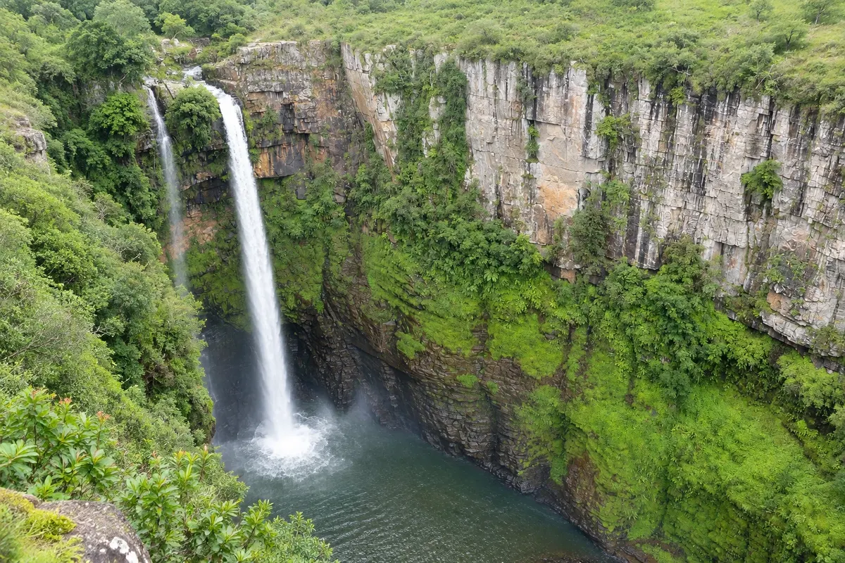
Cachoeira Mac-Mac
A double drop of about 65 metres into a deep gorge between Sabie and Graskop, named by Scottish prospectors in the 19th century.

 South Africa
 Brazil
 Argentina
 Bolivia
 Chile
 Colombia
 Ecuador
 Guyana
 French Guiana
 Falkland Islands (Malvinas)
 Paraguay
 Peru
 Suriname
 Uruguay
 Venezuela
 Germany
 Austria
 Belgium
 Croatia
 Denmark
 Spain
 Finland
 France
 Greece
 the Netherlands
 Hungary
 Ireland
 Iceland
 Italy
 Luxembourg
 Norway
 Poland
 Portugal
 the United Kingdom
 the Czech Republic
 Sweden
 Switzerland
 Turkey
 Mexico
 the Dominican RepublicSouth Africa
 Fiji
Mpumalanga · South Africa
In the destination Panoramic Route and Blyde River Canyon.
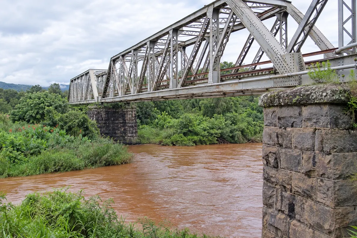
In the photo: Sabie railway bridge
Illustrative images. The pictures in this guide are illustrations based on the real place, not photographs, and may differ from it.
The city
Sabie is a mountain town on the southern part of the Panorama Route, surrounded by plantations of pine and eucalyptus, about 27 km from Graskop. It began as a prospectors' camp at the end of the 19th century and became a center of the timber industry. Nearby are several easily accessible waterfalls, such as Mac-Mac, Lone Creek and Bridal Veil, and trails for hiking and mountain biking.
There's no accommodation in the guide yet in Sabie.
There are no restaurants in the guide yet in Sabie.
Know a good one? Recommend it to ushow to get there · how many days · itinerary · questions
The local experience
A double drop of about 65 metres into a deep gorge between Sabie and Graskop, named by Scottish prospectors in the 19th century.
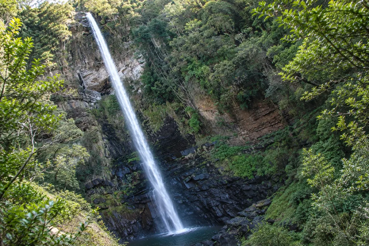
Two waterfalls in the forest west of Sabie: Lone Creek, about 68 metres with easy access, and Bridal Veil, which falls like a bride's veil.