Brazil
 Chile
Chile Colombia
 Peru
Peru Uruguay
 Germany
 Belgium
 Spain
Spain France
 Greece
 the Netherlands
 Ireland
 Italy
Italy Portugal
 the United Kingdom
 Switzerland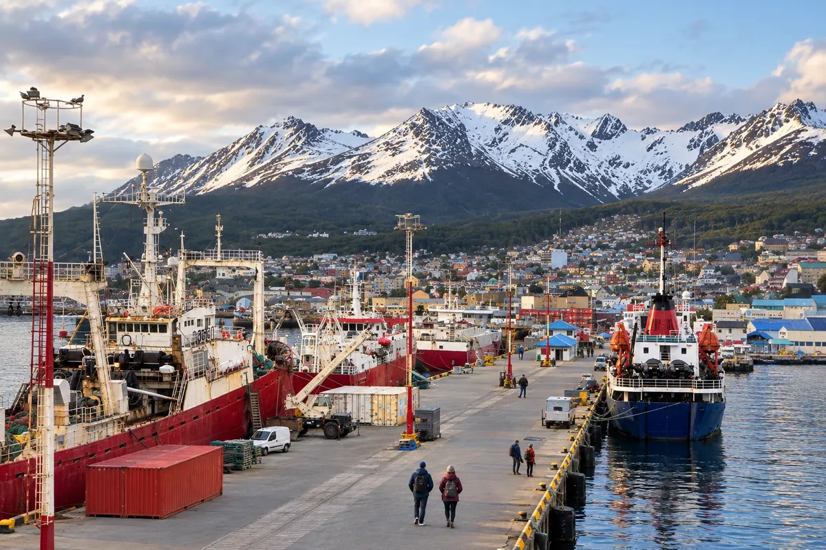
2 cities
Province · Patagônia
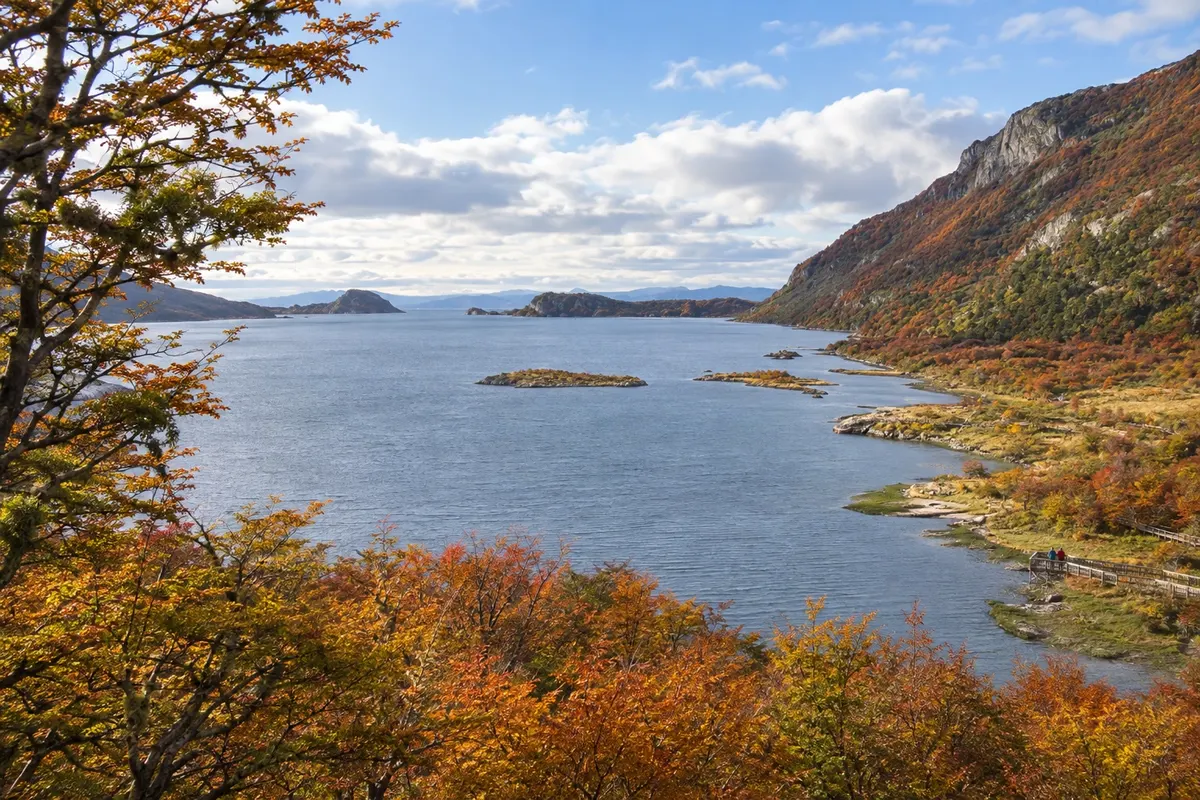
Ushuaia, the Canal Beagle and the lakes of Tolhuin show Terra do Fogo amid forests, peatlands and the Andes Fueguinos.
In the photo: Bahía Lapataia, Parque Nacional Tierra del Fuego
Illustrative images. The pictures in this guide are illustrations based on the real place, not photographs, and may differ from it.

The province
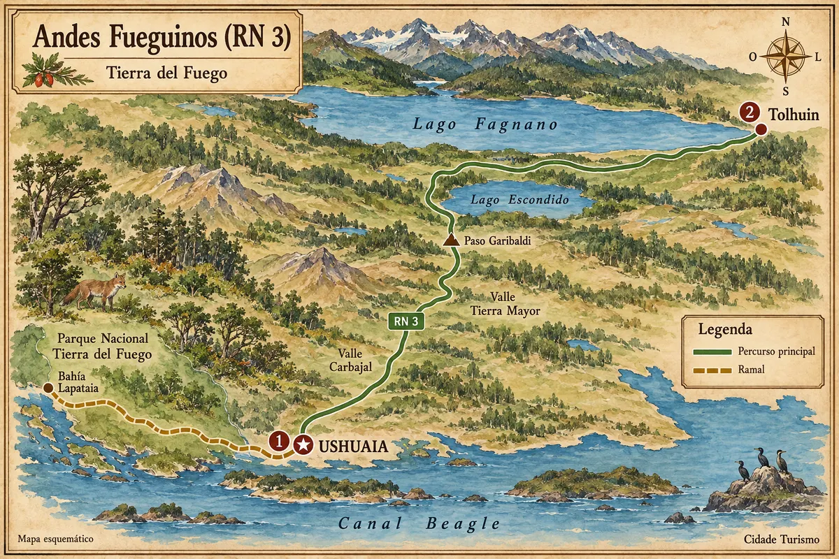
Terra do Fogo occupies the Argentine part of the large island south of the estreito de Magalhães. The north has more open fields; the centre brings together lakes and forests, and the south follows mountains and channels. Ushuaia, the provincial capital, sits beside the Canal Beagle, with the Andean relief in the background.
Ushuaia and Tolhuin allow combining the Beagle coast with the lakes and forests of the island's centre. Ushuaia concentrates museums, urban walks, Beagle boat trips and the Tren del Fin del Mundo. Parque Nacional Tierra del Fuego has trails, forests and Bahía Lapataia, reached via RN 3 west of the city.
RN 3 crosses the Andes Fueguinos toward Tolhuin, passing through Paso Garibaldi and by the lakes Escondido and Fagnano. Tolhuin is a base for exploring lake shores and the central island forest. Peatland environments and changes of light are part of the landscape, with hikes that require choosing routes according to the season.
The history of the Yagán and Selk’nam peoples and the formation of Ushuaia appear in museums and places of memory. Centolla, merluza negra and Fuegian lamb are hallmarks of the regional cuisine. In winter, the snow centres and the Fiesta Nacional del Invierno add activities to the trip; in months with longer days, the trails take a larger place in the itinerary.
Destinations
Cities
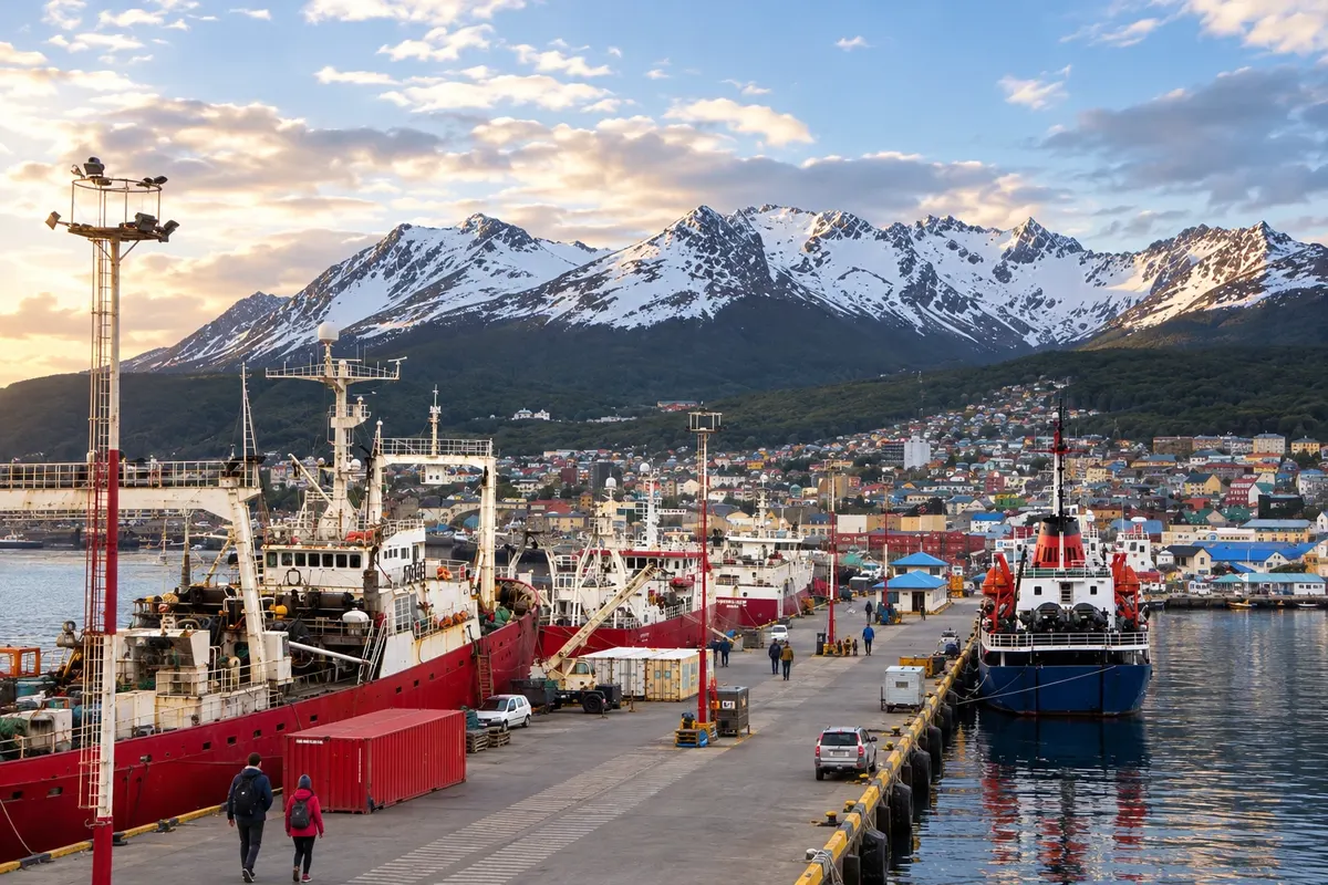
Ushuaia stretches along the Canal Beagle, between slopes and mountains. The Museo Marítimo y del Presidio occupies the former prison, while the Parque Nacional Tierra del Fuego brings together forest and coastline west of the city. Laguna Esmeralda and Glaciar Martial provide hikes with varying levels of difficulty. The capital serves as the flight arrival point for exploring the southern part of the island.
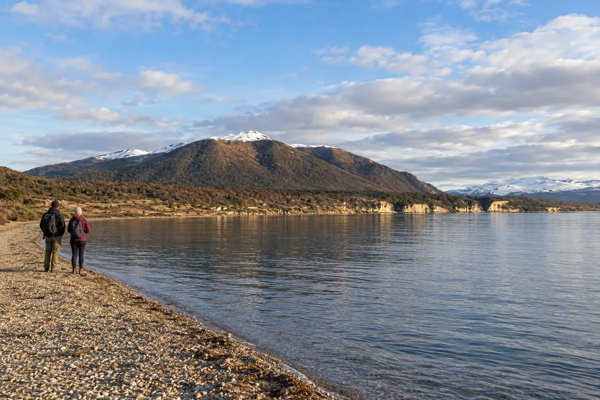
Tolhuin is located in the center of the Isla Grande de Tierra del Fuego, at the eastern end of Lago Khami, also called Fagnano. The municipality serves as a base for routes in Reserva Laguna Negra, Reserva Río Valdez and Reserva Desembocadura Río Turbio. The surroundings alternate between forest, peat bogs and lagoons, in a transition zone to the Fuegian steppe.
Routes
From November to March there are usually longer days for trails and Beagle outings, but cold, wind and rain can occur. From June to September, snow and ice are more frequent in mountain environments; skiing is typically concentrated between July and September, depending on the season. The mountainous south is wetter than the fields of the north. The Fiesta Nacional del Invierno usually takes place in July, in Ushuaia. Daylight duration changes a lot between January and July.
Aeroporto Internacional Malvinas Argentinas is located in Ushuaia. In some seasons there are direct flights from Brazil; for the rest of the year the connection is via Buenos Aires. Confirm before purchasing. RN 3 links Ushuaia, Tolhuin and Río Grande, where Aeroporto Internacional Gobernador Ramón Trejo Noel is located. To reach by car from the Argentine mainland, the route passes through Chile and uses the crossing of the estreito de Magalhães; check the requirements and the operation before travelling.
Your questions
Five to seven days allow alternating between Ushuaia, the national park, a boat trip and the lakes axis to Tolhuin. Those planning to ski for several days or to hike long routes can extend their stay.
The route along RN 3 goes through Paso Garibaldi, Lago Escondido and the surroundings of Fagnano. A day trip allows you to see this axis with stops; staying overnight in Tolhuin adds time for walking and visiting the lake shores.
The train runs through a section of the río Pipo valley. The lakes, the trails and Bahía Lapataia are in other areas of Parque Nacional Tierra del Fuego, which require their own transport and time.
July to September usually concentrates the programmes of the winter centres, depending on the snow. Ushuaia's urban landscape may alternate between periods with and without coverage; compare the ski itinerary with the expected conditions for the days of your stay.