Brazil
 Chile
Chile Colombia
 Peru
Peru Uruguay
 Germany
 Belgium
 Spain
Spain France
 Greece
 the Netherlands
 Ireland
 Italy
Italy Portugal
 the United Kingdom
 Switzerland
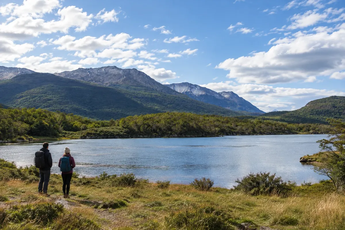
Park
Parque Nacional Tierra del Fuego
Fuegian forest, rivers and coastline on the Canal Beagle, with the visitor area concentrated in the sectors close to Ushuaia.
Terra do Fogo · Argentina Capital
In the destination Ushuaia and Tierra del Fuego.
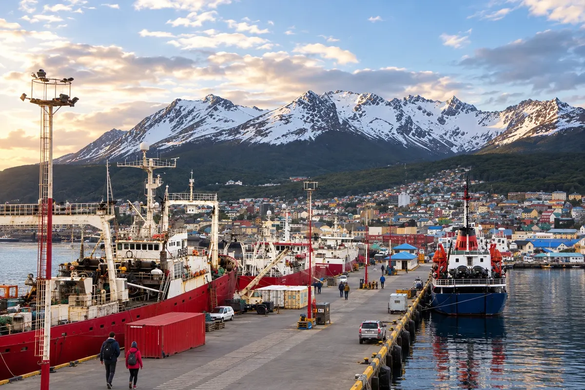
In the photo: Puerto de Ushuaia
Illustrative images. The pictures in this guide are illustrations based on the real place, not photographs, and may differ from it.
The city
Ushuaia stretches along the Canal Beagle, between slopes and mountains. The Museo Marítimo y del Presidio occupies the former prison, while the Parque Nacional Tierra del Fuego brings together forest and coastline west of the city. Laguna Esmeralda and Glaciar Martial provide hikes with varying levels of difficulty. The capital serves as the flight arrival point for exploring the southern part of the island.
There's no accommodation in the guide yet in Ushuaia.
There are no restaurants in the guide yet in Ushuaia.
Know a good one? Recommend it to ushow to get there · how many days · itinerary · questions
The local experience
Fuegian forest, rivers and coastline on the Canal Beagle, with the visitor area concentrated in the sectors close to Ushuaia.
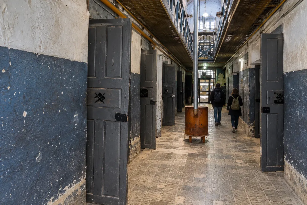
Pavilions of the former Ushuaia prison with collections about the penitentiary, southern navigation and Antarctica.
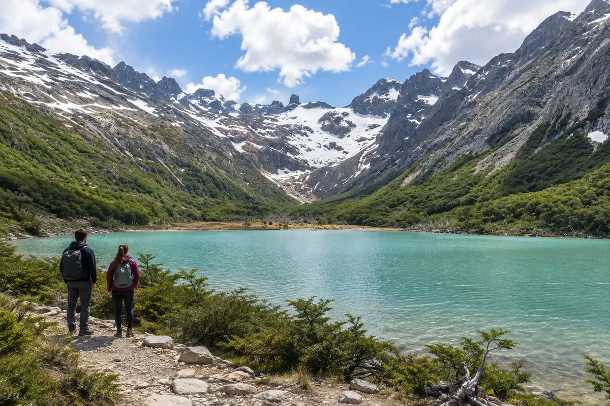
Glacial-origin lake in Valle Tierra Mayor, reached by a hike through lenga forest, peatlands and slopes.
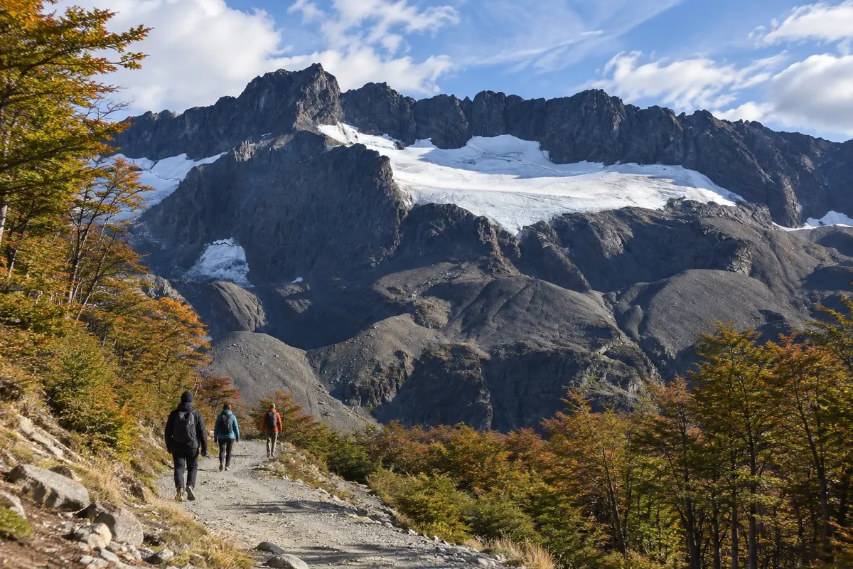
Mountain area above Ushuaia, with forest trails and viewpoints overlooking the glacial valley and the Canal Beagle.
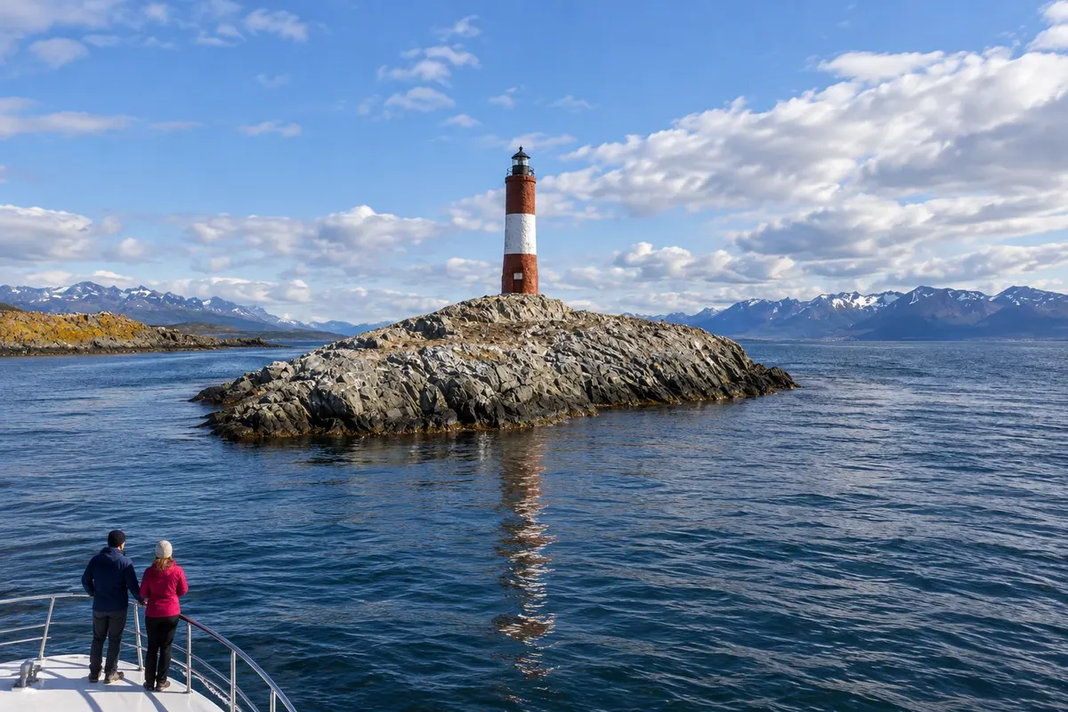
Departure from Ushuaia along the Canal Beagle to Faro Les Éclaireurs, a red-and-white tower on a rocky islet. The scenery combines sea, islands and Fuegian mountains.
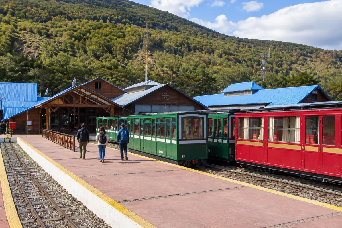
A narrow-gauge tourist train that departs from Estación del Fin del Mundo and runs along the Río Pipo valley, between forest and peatlands, toward Parque Nacional Tierra del Fuego.
Routes in Argentina
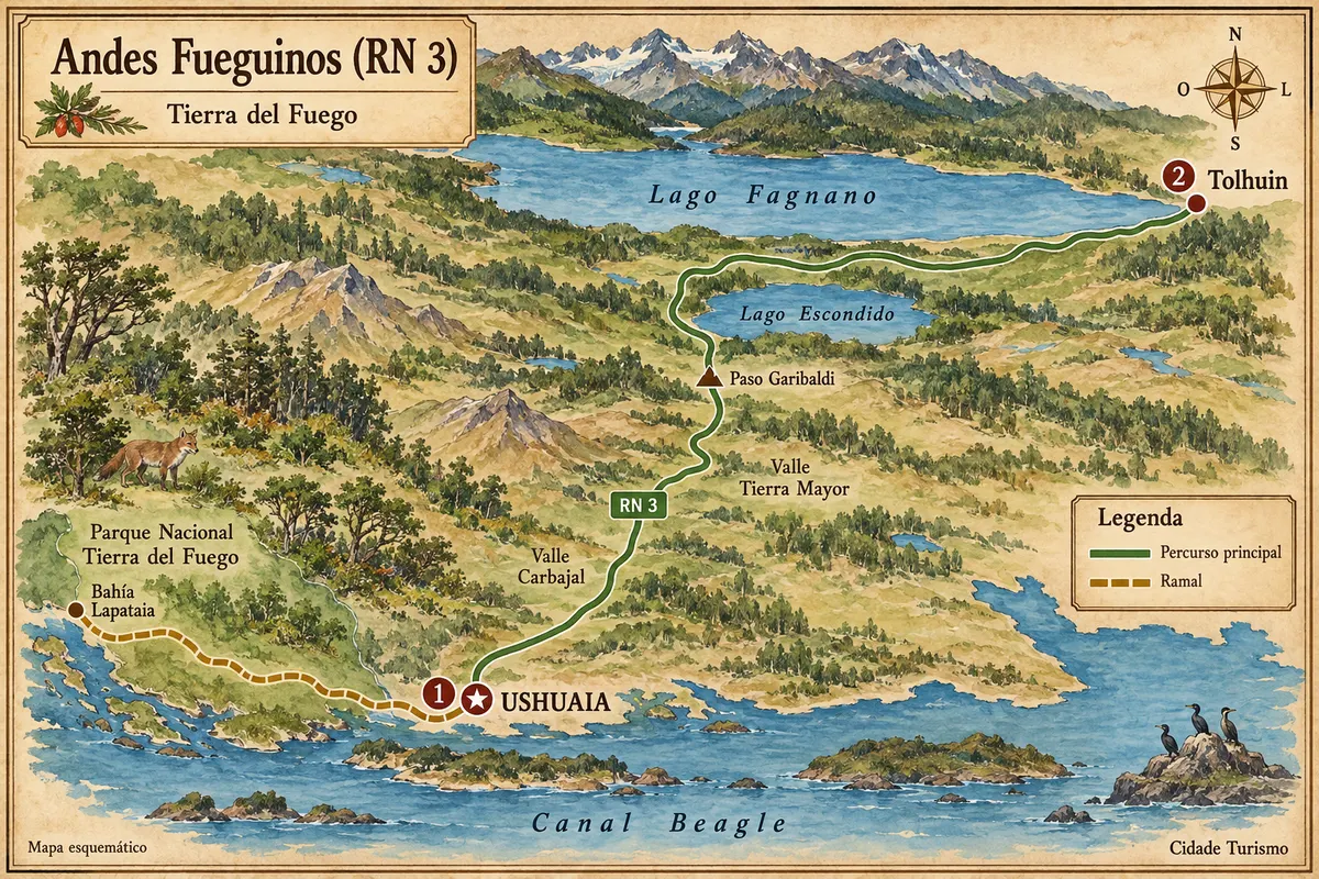
From the Canal Beagle to the lakes Escondido and Fagnano, via the crossing of the Andes Fueguinos between Ushuaia and Tolhuin.