Ushuaia and Tierra del Fuego

Terra do Fogo · Argentina

Ushuaia and Tierra del Fuego

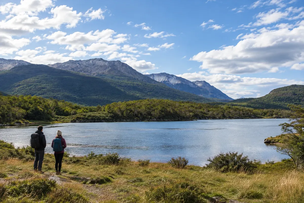
Forests, mountains and lakes between the Canal Beagle and the center of the Isla Grande de Tierra del Fuego.

Patagônia

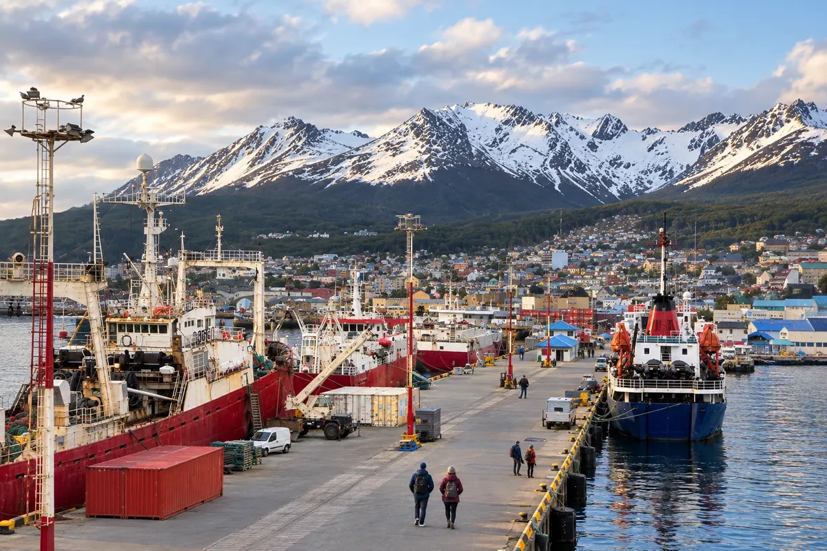
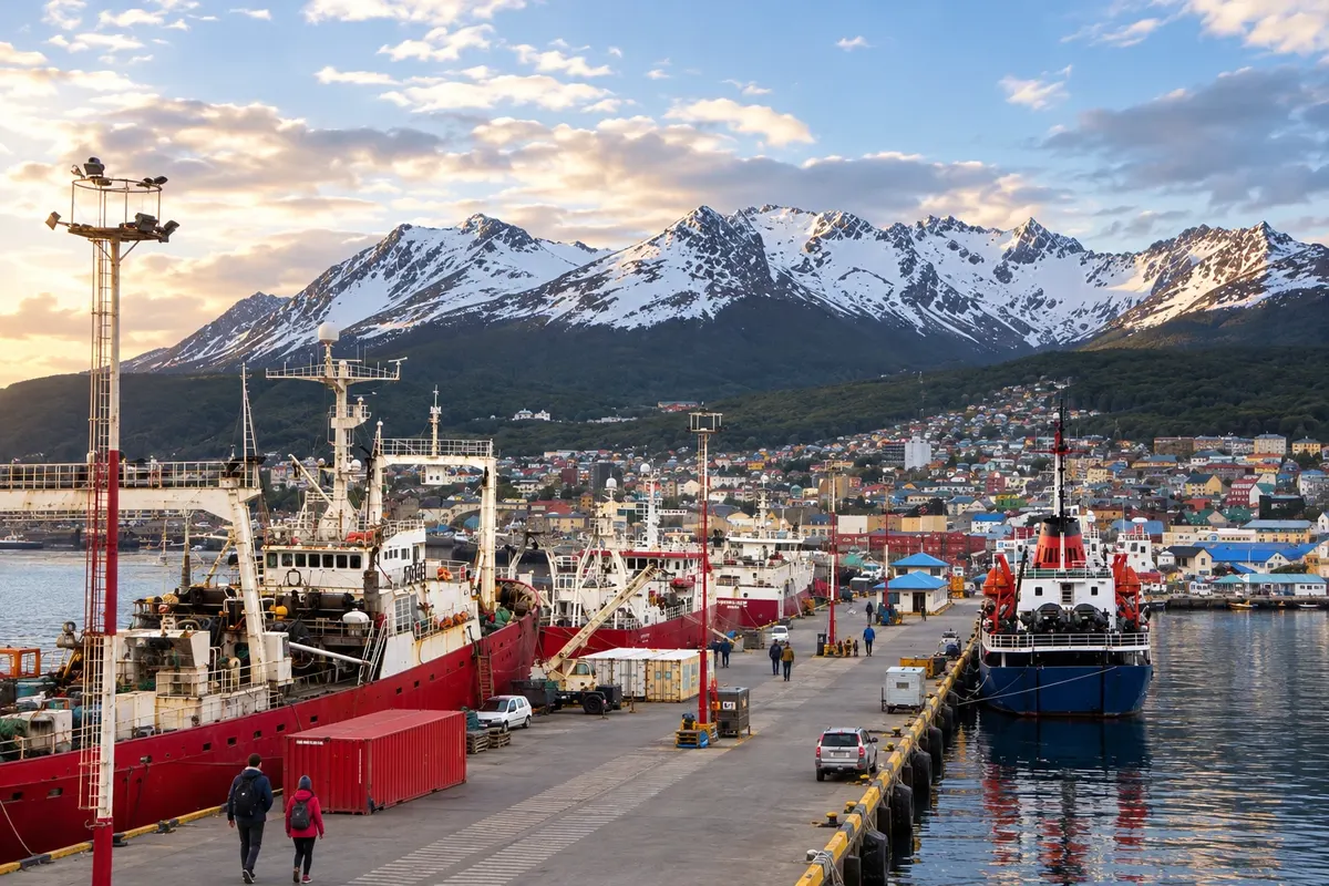
In the photo: Port of Ushuaia

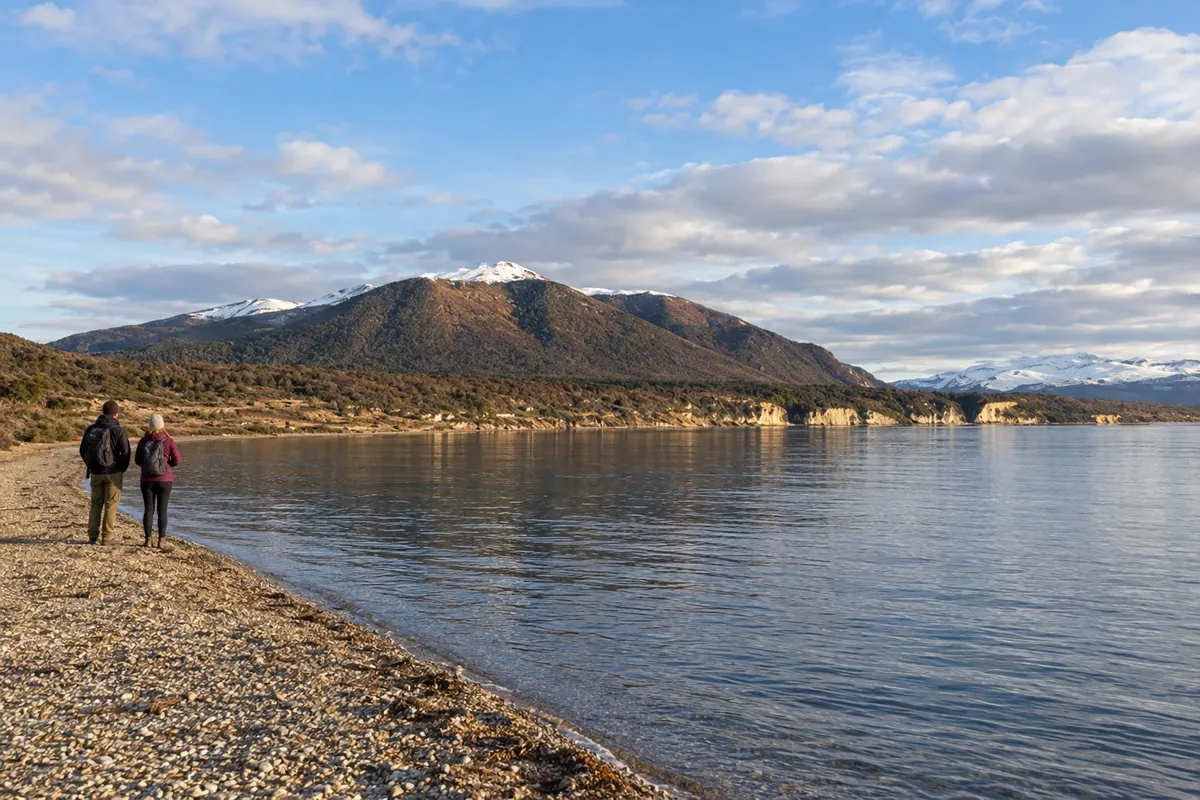
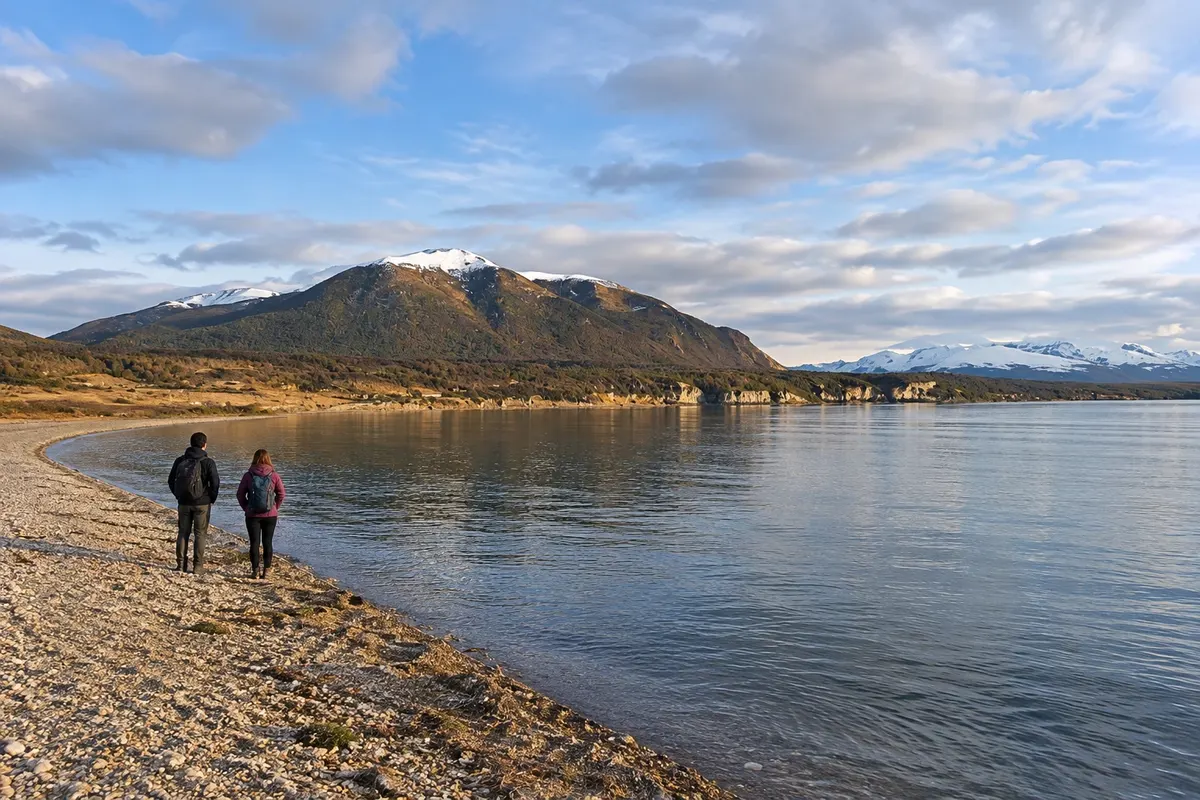
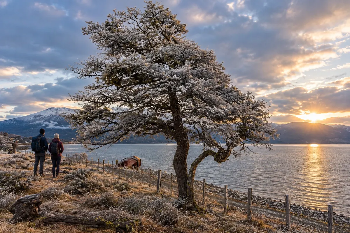
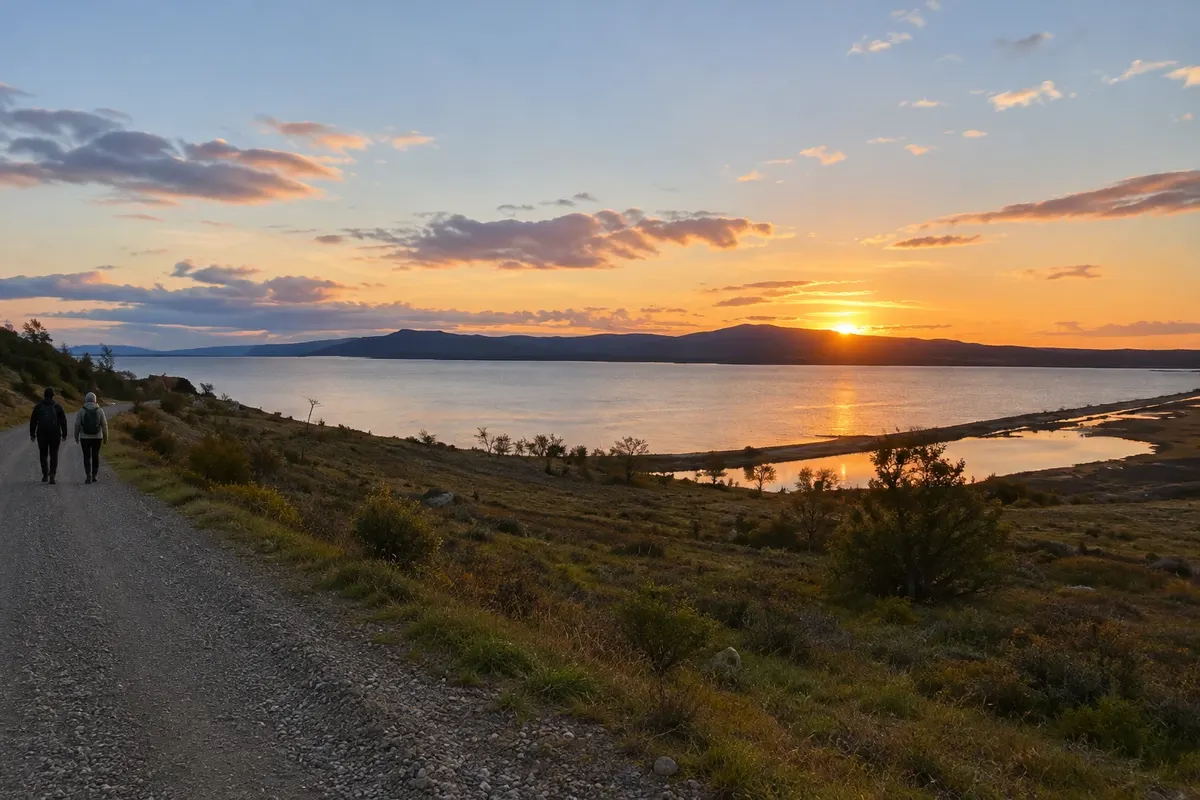
Illustrative images. The pictures in this guide are illustrations based on the real place, not photographs, and may differ from it.

Get it on Google Play Send your photos

Get to know the place

A region to enjoy
at your own pace.

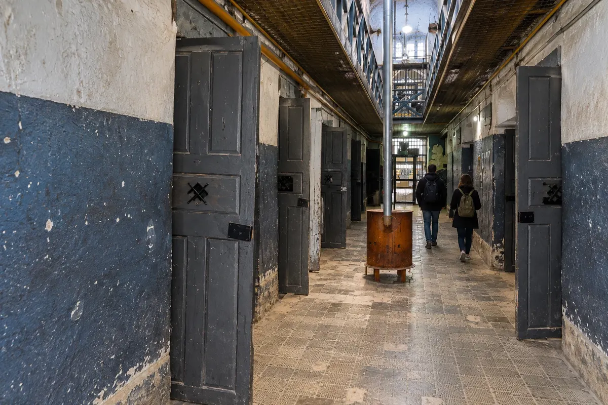
Ushuaia occupies a stretch of coast between the Canal Beagle and the Fuegian mountains. The provincial capital concentrates the airport and the services used to explore the southern part of the island. The Museo Marítimo y del Presidio tells the story of local settlement inside the old prison pavilions.
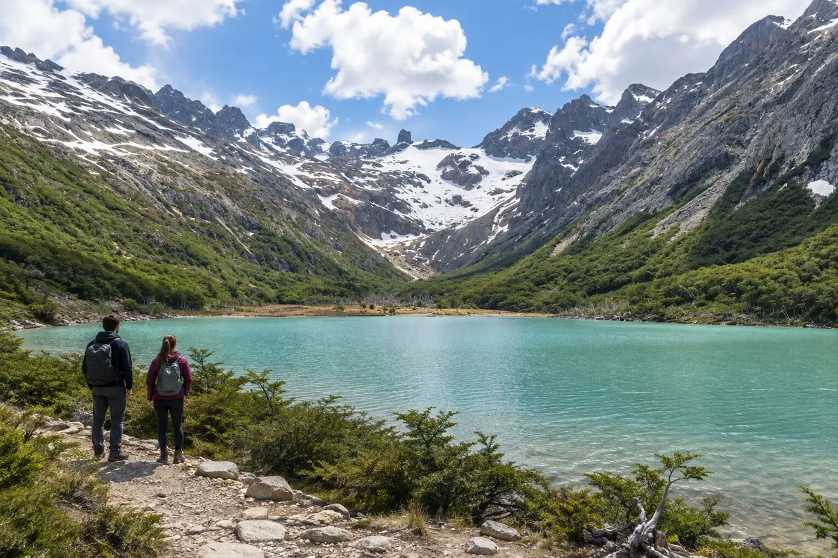
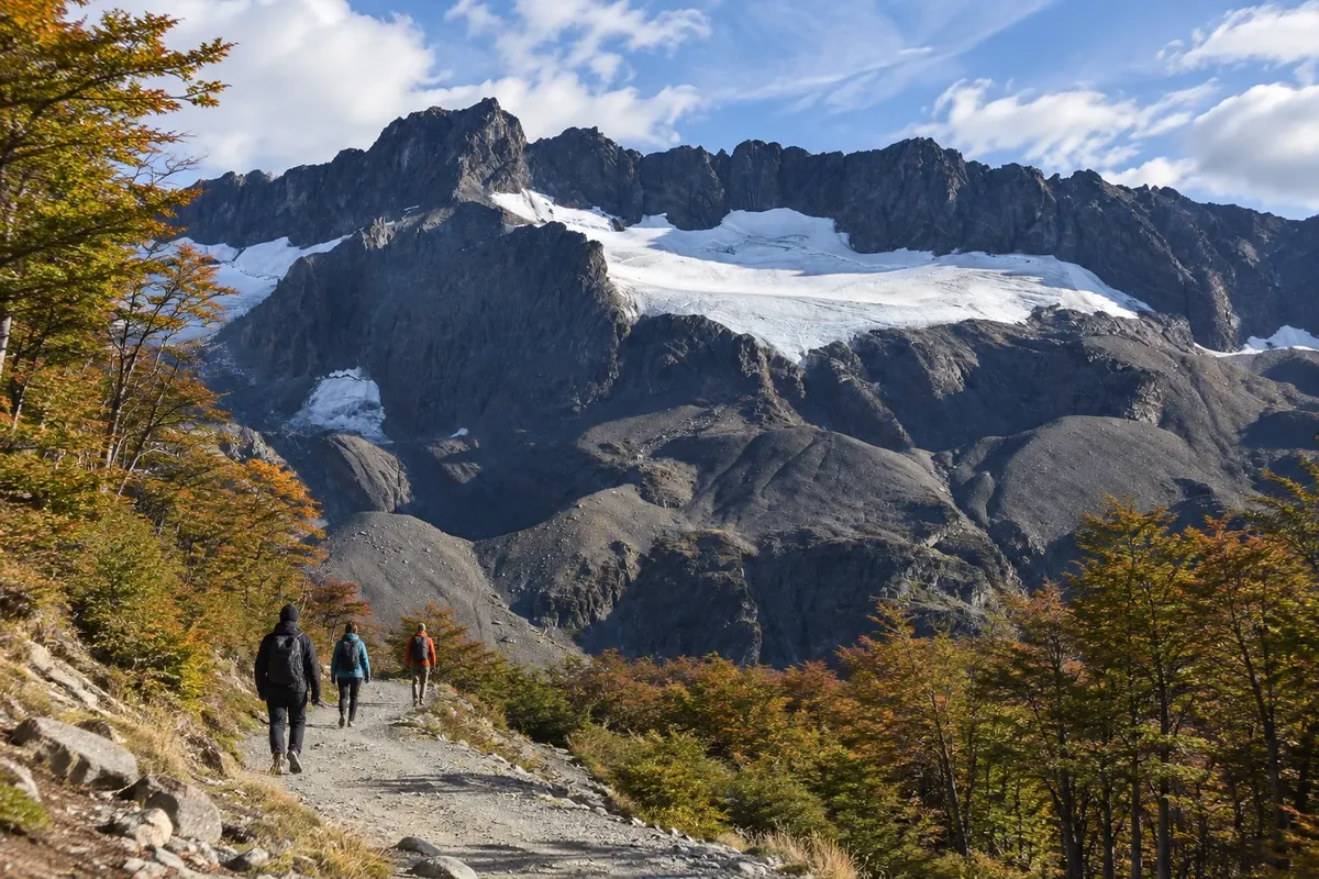
On the outskirts of town, Parque Nacional Tierra del Fuego brings together forest, rivers and coves. Laguna Esmeralda is in Valle Tierra Mayor and requires a walk through forest and peat bogs. At Glaciar Martial, the visitor circuits climb from the base of the mountain up to viewpoints over the glacial valley.

Tolhuin is about 105 km from Ushuaia along Ruta Nacional 3. The head of Lago Khami, also called Fagnano, brings travelers close to the forest in the transition toward the steppe. Laguna Negra, Río Valdez and Desembocadura Río Turbio are protected areas with their own accesses and routes of different characters.

The road crosses the mountain range, and wind and cold are part of packing preparation. From November to March there are more hours of daylight; from June to September snow often changes how routes are experienced.

This destination brings together 2 cities: Ushuaia, Tolhuin.

Share: WhatsApp
Traveler, share your experiences through photos Up to 5 photos of each place you visited.

One destination, many paths

The cities on this trip

Start with one city or combine several in your itinerary.

Where Ushuaia and Tierra del Fuego is
UshuaiaTolhuin

Fuente: Instituto Geográfico Nacional de la República Argentina (IGN), contornos de 2019. Adaptação do Cidade Turismo.

How to get there: Ushuaia and Tierra del Fuego

✈ Aeropuerto Internacional Malvinas Argentinas (USH) · 6 km to Ushuaia

Before issuing the segments to Ushuaia, check which airports are used for the connection. From Ushuaia airport to the city center is about 6 km; Tolhuin is approximately 105 km further along Ruta Nacional 3.

Suggested arrival point: Ushuaia

The local experience

Things to do in Ushuaia and Tierra del Fuego

Lago Khami (Fagnano)
Tolhuin · Terra do Fogo · Lake

Lago Khami (Fagnano)

Eastern end of Lago Fagnano, close to Tolhuin, with a shore exposed to the wind and Fuegian forest in the surroundings.

Parque Nacional Tierra del Fuego
Ushuaia · Terra do Fogo · Park

Parque Nacional Tierra del Fuego

Fuegian forest, rivers and coastline on the Canal Beagle, with the visitor area concentrated in the sectors close to Ushuaia.

Museo Marítimo y del Presidio de Ushuaia
Ushuaia · Terra do Fogo · Museum

Museo Marítimo y del Presidio de Ushuaia

Pavilions of the former Ushuaia prison with collections about the penitentiary, southern navigation and Antarctica.

Reserva Provincial Laguna Negra
Tolhuin · Terra do Fogo · Nature reserve

Reserva Provincial Laguna Negra

Protected area north of Lago Khami, featuring the Paisaje en Movimiento trail and forest along the shore.

See 6 more places in Ushuaia and Tierra del Fuego
Laguna Esmeralda
Ushuaia · Terra do Fogo · Trail

Laguna Esmeralda

Glacial-origin lake in Valle Tierra Mayor, reached by a hike through lenga forest, peatlands and slopes.

Reserva Municipal Desembocadura Río Turbio
Tolhuin · Terra do Fogo · Nature reserve

Reserva Municipal Desembocadura Río Turbio

Wetland beside Lago Khami, featuring the Haiken Chache birdwatching trail near Tolhuin.

Glaciar Martial
Ushuaia · Terra do Fogo · Mountain

Glaciar Martial

Mountain area above Ushuaia, with forest trails and viewpoints overlooking the glacial valley and the Canal Beagle.

Reserva Provincial Río Valdez
Tolhuin · Terra do Fogo · Nature reserve

Reserva Provincial Río Valdez

Forests and peatlands on the southeast shore of Lago Khami, with access to lagoons and trails outside Tolhuin.

Navegación por el Canal Beagle — Faro Les Éclaireurs
Ushuaia · Terra do Fogo · Boat tour

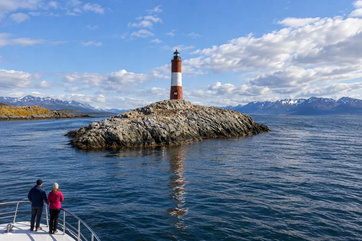
Navegación por el Canal Beagle — Faro Les Éclaireurs

Departure from Ushuaia along the Canal Beagle to Faro Les Éclaireurs, a red-and-white tower on a rocky islet. The scenery combines sea, islands and Fuegian mountains.

Tren del Fin del Mundo
Ushuaia · Terra do Fogo · Train ride

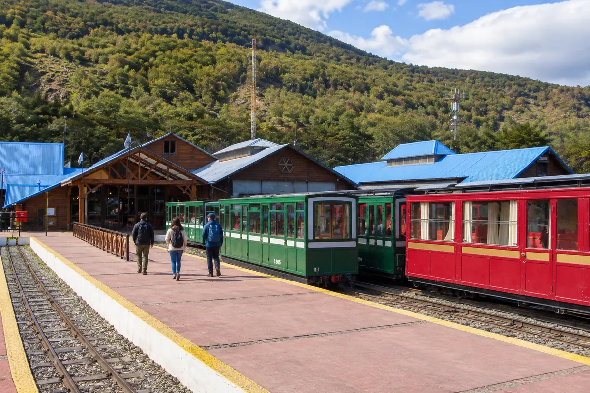
Tren del Fin del Mundo

A narrow-gauge tourist train that departs from Estación del Fin del Mundo and runs along the Río Pipo valley, between forest and peatlands, toward Parque Nacional Tierra del Fuego.

Before you go

Practical information

A little planning leaves more time to enjoy the journey.

When to go

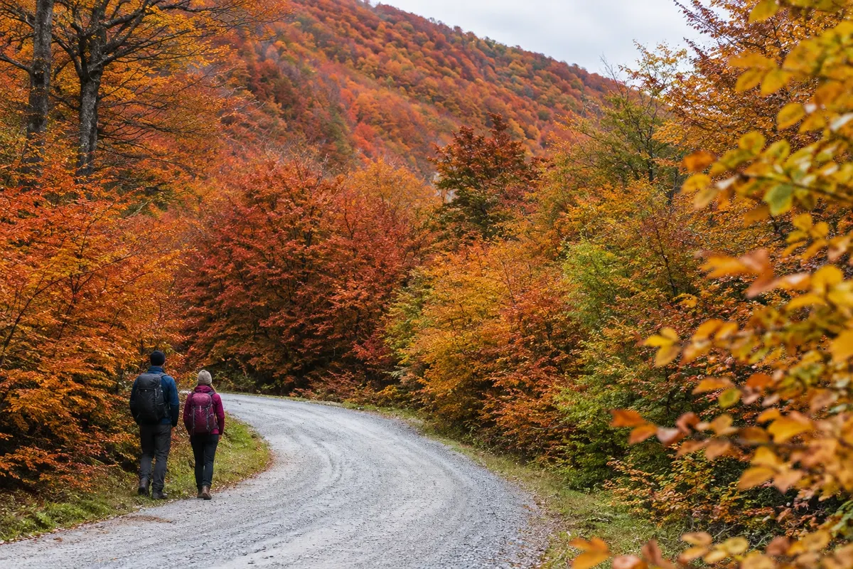
From November to March there is usually more daylight for trails. From June to September the cold is more intense and snow can affect access. April and May have shorter days, and foliage tends to change color; bring warm layers in any month.

The seasons shown are the most usual ones; nature doesn't always follow the calendar.

How many days to stay

Allow five to seven days: four or five in Ushuaia and one or two in Tolhuin. Set aside separate days for Laguna Esmeralda and Parque Nacional Tierra del Fuego, leaving room to reorganize hikes depending on the weather.

Which city to stay in

Ushuaia's center, near avenidas San Martín and Maipú, makes dining and getting around on foot easy. The neighborhoods above the waterfront involve uphill streets. In Tolhuin, the town center serves those who rely on services; the shores of Lago Khami are better for those seeking a base close to the forest and who have transport.

Respect the place

Take your trash with you, follow the signs and support local businesses. In natural areas, follow the visiting guidelines.

Get your questions answered

Frequently asked questions about Ushuaia and Tierra del Fuego

How many days should I allocate for Tierra del Fuego?

Five to seven days let you split the stay between the capital and Tolhuin. A hike like Laguna Esmeralda takes up a large part of the day and is best scheduled on a day other than your flight day.

Which time of year is best for hikes?

From November to March the days are usually longer. This helps spread out travel, but wind, rain and cold can occur during those months.

Do I need to rent a car for this itinerary?

In Ushuaia you can use transfers and organized outings. A car adds flexibility for going to Tolhuin and the lakes, provided the driver is prepared for road conditions and checks the rental details before traveling.

Routes in Argentina

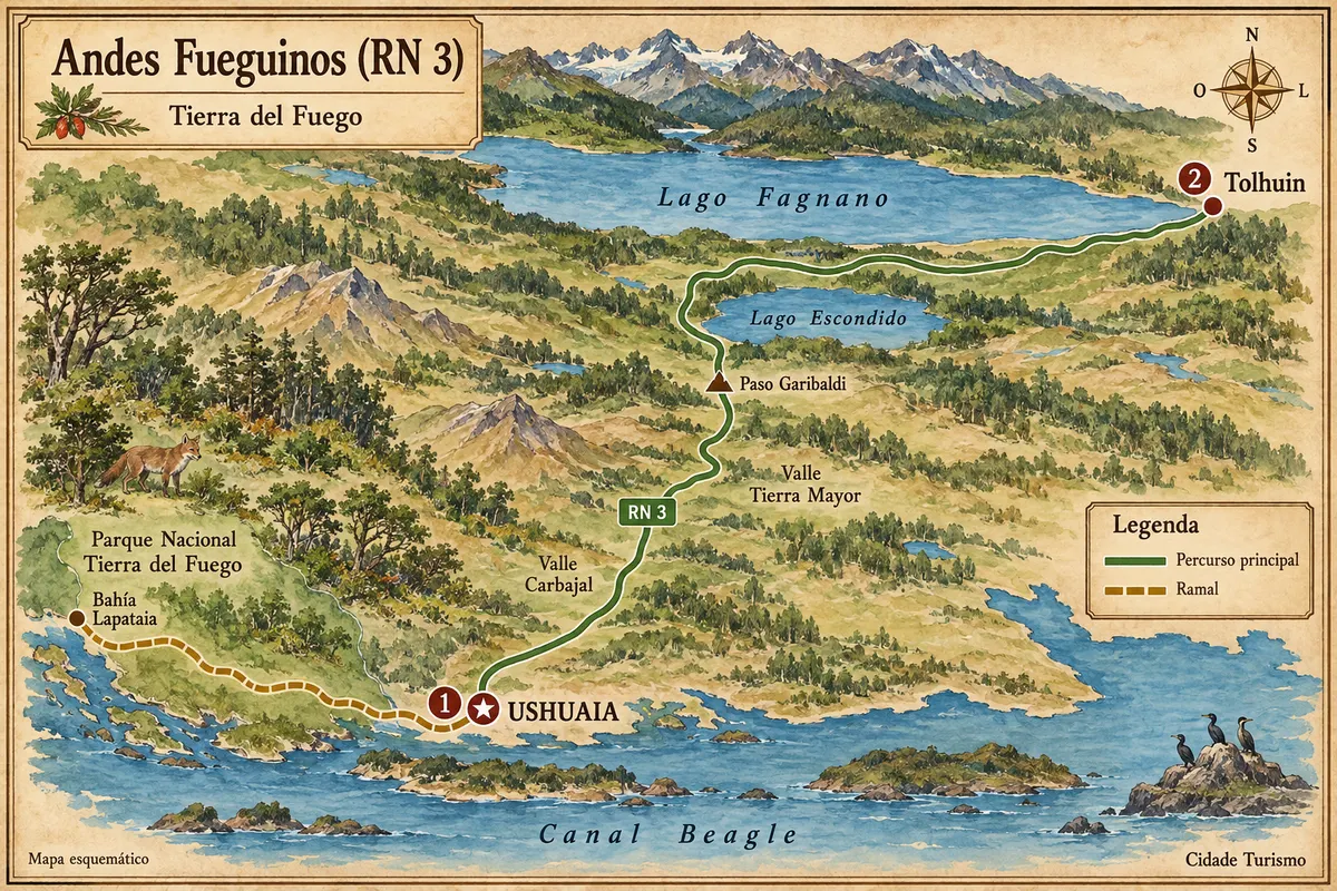
Ushuaia and Tierra del Fuego is on the Andes Fueguinos (RN 3)

From the Canal Beagle to the lakes Escondido and Fagnano, via the crossing of the Andes Fueguinos between Ushuaia and Tolhuin.

Illustrative map, not to scale. Tap a city to open its page.
Illustrated map of Andes Fueguinos (RN 3)
Explore the Andes Fueguinos (RN 3)
Explore other destinations Search by state and city
Back