

 Brazil
 Chile
Chile Colombia
 Peru
Peru Uruguay
 Germany
 Belgium
 Spain
Spain France
 Greece
 the Netherlands
 Ireland
 Italy
Italy Portugal
 the United Kingdom
 Switzerland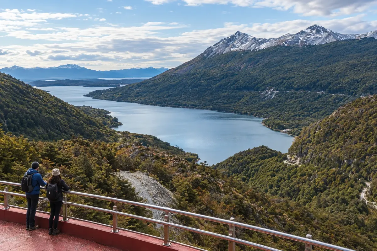
Route · Terra do Fogo
Andes Fueguinos (RN 3)
From the Canal Beagle to the lakes Escondido and Fagnano, via the crossing of the Andes Fueguinos between Ushuaia and Tolhuin.
In the photo: Lago Escondido seen from Mirador Paso Garibaldi
Illustrative images. The pictures in this guide are illustrations based on the real place, not photographs, and may differ from it.

The route
What the Andes Fueguinos (RN 3) is
Ushuaia sits on the north shore of the Canal Beagle, with the mountain range behind the town. RN 3 leads out to the Carbajal and Tierra Mayor valleys, passing peatlands and woods. The route crosses the Andes Fueguinos before reaching the lake region and Tolhuin.
Paso Garibaldi marks the passage through the range. Its viewpoint looks over Lago Escondido; after the descent, the road runs along the area of Lago Fagnano to its eastern head, where Tolhuin is located. The accesses to the lakes leave the main road and go down to the shores.
Bahía Lapataia lies in the opposite direction, west of Ushuaia, within Parque Nacional Tierra del Fuego. The road ends at the bay, where boardwalks run along the coastal landscape. The visit is a round trip from Ushuaia. Set this outing apart from the journey to Tolhuin.
The map
2 cities along the way
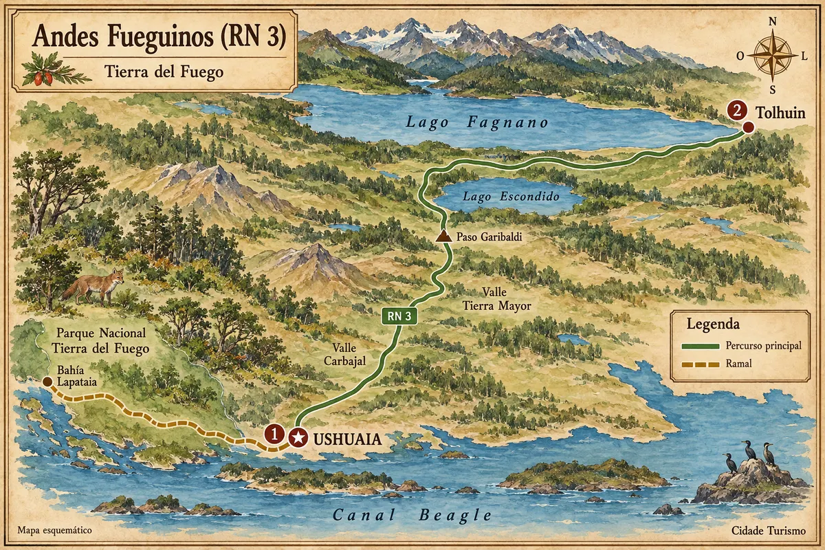
Fuente: Instituto Geográfico Nacional de la República Argentina (IGN), contornos de 2019. Adaptação do Cidade Turismo.
The journey
City by city
Distances and times are approximate: check before you set off.
-
 1 · Terra do Fogo
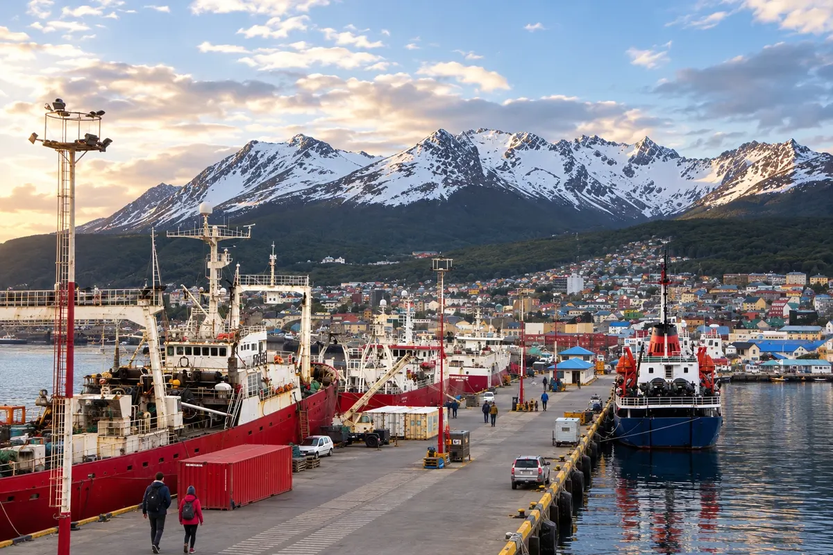
Ushuaia
Ushuaia brings together the Canal Beagle waterfront, museums and access to valley hikes. West of the city, the park road ends at Bahía Lapataia, with boardwalks along the coast.
→ Tolhuin about 100 km Follow RN 3 from Ushuaia, passing through the Carbajal and Tierra Mayor valleys, Paso Garibaldi, Lago Escondido and Lago Fagnano, to Tolhuin. The main route is paved; Bahía Lapataia is a branch west of Ushuaia with gravel inside the park.
-
 2 · Terra do Fogo
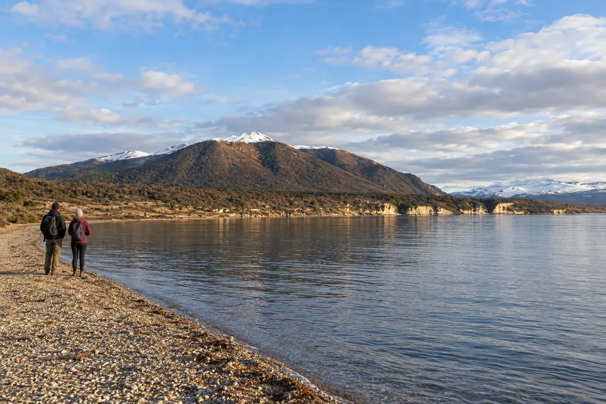
Tolhuin
Tolhuin is at the eastern head of Lago Fagnano. The lake shore and nearby woods appear after crossing the range via RN 3.
How many days
Allow three to five days for the two bases, selecting hikes and a separate outing to Bahía Lapataia.
Best time to go
From December to February there are usually more daylight hours. March and April bring color changes in the woods. Between July and September, snow and ice can affect the road and access points.
The seasons shown are the most usual ones; nature doesn't always follow the calendar.
How to travel it
Use a car, transfer or tour for the scenic stops. There is transport between Ushuaia and Tolhuin; the visit to Bahía Lapataia has its own western departure. Confirm requirements for driving with a Brazilian license before traveling.
Who it's for
Travelers interested in woods, mountains and lakes, with roadside viewpoints and hikes chosen according to fitness and available time.
Your questions
Frequently asked questions about the Andes Fueguinos (RN 3)
Is the road between Ushuaia and Tolhuin paved?
The connection via RN 3 is paved. The accesses to the lakes' shores and the branch inside the park to Bahía Lapataia have their own conditions, including gravel.
Where can you see the lakes along the route?
The Mirador Paso Garibaldi overlooks Lago Escondido. After the descent, the route reaches the Lago Fagnano area; Tolhuin is at its eastern head.
Is Bahía Lapataia on the way to Tolhuin?
The bay is west of Ushuaia, inside the national park. Plan a round-trip outing from the city, separate from the stretch to Tolhuin.
Can you do the route without a rental car?
There is transport between the towns and lake excursions departing from Ushuaia. Intercity transport and visits to viewpoints are different services; combine the access points you intend to visit.
What changes between summer and winter?
From December to February there are usually more hours of daylight. Between July and September, snow and ice can affect travel; March and April usually bring color changes in the woods.