

 Brazil
 Chile
Chile Colombia
 Peru
Peru Uruguay
 Germany
 Belgium
 Spain
Spain France
 Greece
 the Netherlands
 Ireland
 Italy
Italy Portugal
 the United Kingdom
 Switzerland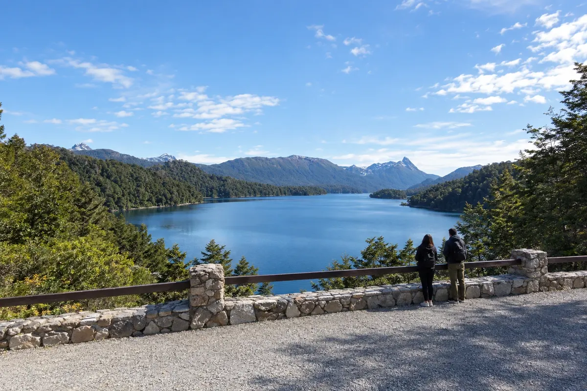
Route · Río Negro · Neuquén
Seven Lakes Road
From the shore of Nahuel Huapi in Bariloche to the lakes along RN 40, via Villa La Angostura and San Martín de los Andes.
In the photo: Lago Espejo, Camino de los Siete Lagos
Illustrative images. The pictures in this guide are illustrations based on the real place, not photographs, and may differ from it.

The route
What the Seven Lakes Road is
The Camino de los Siete Lagos connects San Carlos de Bariloche, Villa La Angostura and San Martín de los Andes. RN 40 leaves along the shore of Nahuel Huapi, passes Dina Huapi and crosses the Limay River before reaching Villa La Angostura. This first section brings the traveler closer to Neuquén's lake corridor.
Between Villa La Angostura and San Martín de los Andes, RN 40 crosses Nahuel Huapi and Lanín national parks. Espejo, Correntoso and Escondido appear in the southern section. Villarino and Falkner are nearby; Machónico comes before the arrival at the shores of Lácar. Viewpoints and local access points allow you to spread out the landscape viewing.
The three towns serve as bases, and roadside stops take time in addition to travel. The main stretch of RN 40 is paved. Accesses to shores, beaches and side excursions may have a different surface than RN 40.
The map
3 cities along the way
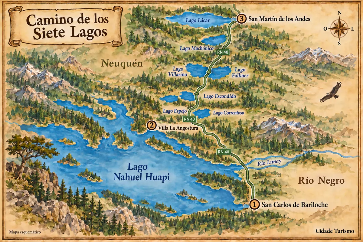
Fuente: Instituto Geográfico Nacional de la República Argentina (IGN), contornos de 2019. Adaptação do Cidade Turismo.
The journey
City by city
Distances and times are approximate: check before you set off.
-
 1 · Río Negro
Bariloche
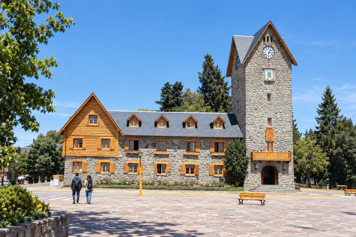
San Carlos de Bariloche lies on the southern shore of Nahuel Huapi and receives flights at BRC airport. The Centro Cívico and lake excursions provide context for the first base. The departure along RN 40 passes through Dina Huapi and crosses the Limay, adding an approach stage to Neuquén's Seven Lakes core.
→ Villa La Angostura about 83 km RN 40 along the shore of Nahuel Huapi, passing Dina Huapi and crossing the Limay River. The paved road skirts the northeast sector of the lake before entering Villa La Angostura.
-
 2 · Neuquén
Villa La Angostura
Villa La Angostura sits beside Nahuel Huapi and the southern sector of Correntoso. The town marks the transition from the arrival from Bariloche to the scenic RN 40 corridor. Bahía Mansa and the Bosque de Arrayanes are local excursions with their own access points, separate from roadside stops.
→ San Martín de los Andes about 110 km RN 40 is paved, running between the forests of Nahuel Huapi and Lanín parks. Viewpoints bring visitors close to Espejo, Correntoso, Escondido, Villarino, Falkner and Machónico; the arrival to San Martín follows Lago Lácar.
-
 3 · Neuquén
San Martín de los Andes
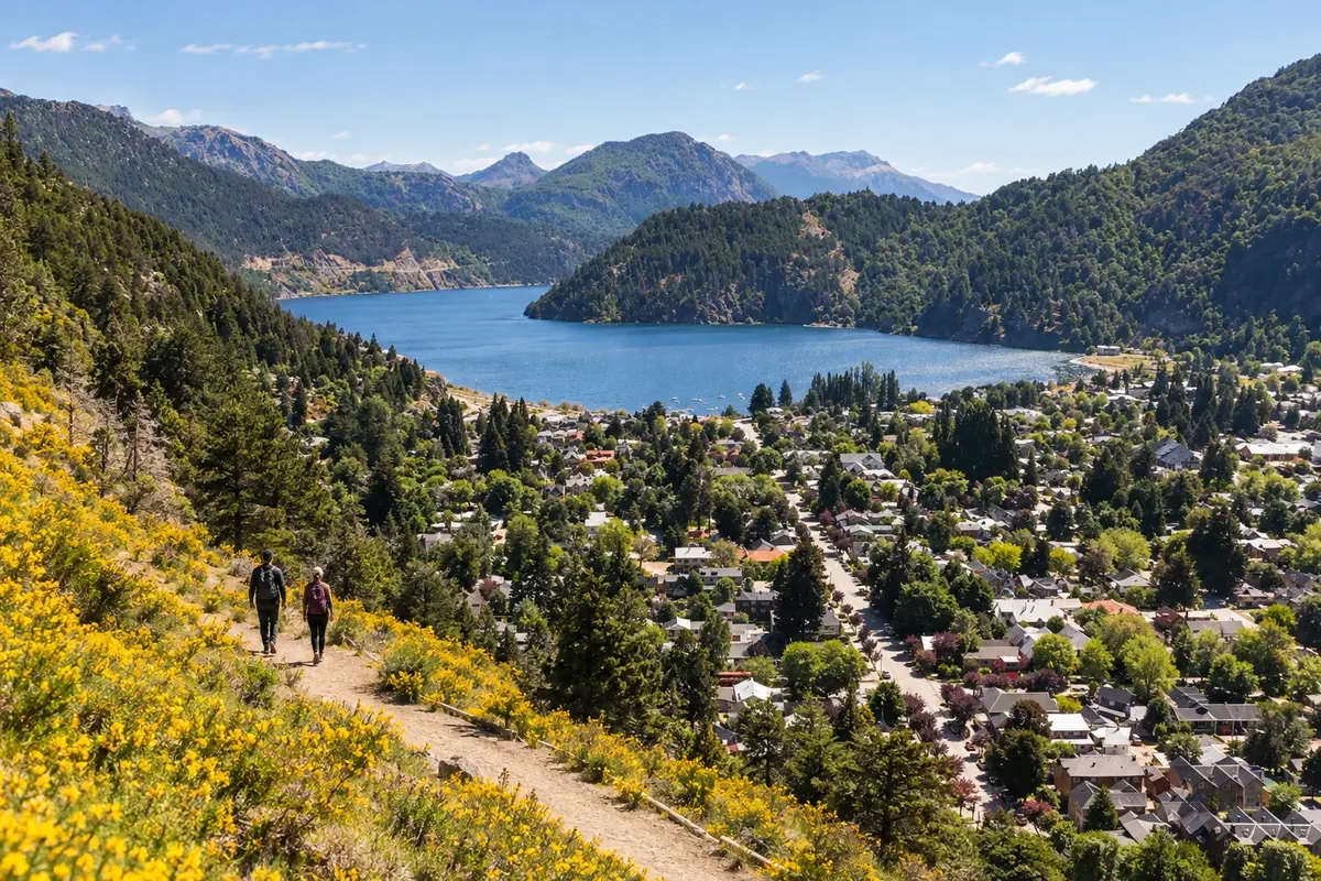
San Martín de los Andes sits on the eastern shore of Lago Lácar and serves as a base in Lanín National Park. RN 40 arrives via the forest corridor and brings the traveler close to the costanera. The Bandurrias and Arrayán viewpoints extend the time spent in town beyond the road arrival.
How many days
Allow three to five days to split time between the three bases and the lake stops. A full-day tour provides a first look at the road; staying overnight in Angostura or San Martín increases the time to walk along the shores. The return to Bariloche should also be included in your planning.
Best time to go
From September to March, longer days favor spreading out the stops. December to February usually concentrates summer activity. From June to September, snow often appears in mountain areas and can change the pace of travel. April and May have shorter days and temperatures that usually drop late in the afternoon.
The seasons shown are the most usual ones; nature doesn't always follow the calendar.
How to travel it
Follow RN 40 and use designated stopping areas, without parking on the roadway. Car, motorcycle or organized tour allow stopping at viewpoints; scheduled buses do not offer the same sequence of stops. Top up fuel and meals in the towns. Check the requirements to drive with a Brazilian license before traveling.
Who it's for
For travelers combining Patagonian roads, lake viewpoints and excursions in the three towns, with time for the shores and the woods.
Your questions
Frequently asked questions about the Seven Lakes Road
Do I need a car to tour the lakes?
Car or organized tour allow stopping at viewpoints. Intercity buses travel the corridor but do not offer the same sequence of viewpoints.
Is there an unpaved section mandatory on the main route?
The main stretch of RN 40 is paved. Detours to shores and other lakes may have different surfaces; check the access for each excursion.
Can it be done in one day leaving from Bariloche?
A full-day excursion allows you to travel the road and choose stops. Staying overnight in Villa La Angostura or San Martín gives more time at the lakes and reduces round-trip travel on the same day.
Which lakes give their name to the core of the route?
Espejo, Correntoso, Escondido, Villarino, Falkner, Machónico and Lácar. Nahuel Huapi appears on the arrival from Bariloche and in the Angostura area, as part of a larger lake context.
How does the trip change from June to September?
Snow and low temperatures usually change the landscape and travel times. Check conditions on RN 40 and its access roads before setting out.