Brazil
 Chile
Chile Colombia
 Peru
Peru Uruguay
 Germany
 Belgium
 Spain
Spain France
 Greece
 the Netherlands
 Ireland
 Italy
Italy Portugal
 the United Kingdom
 Switzerland
Architecture
Centro Cívico
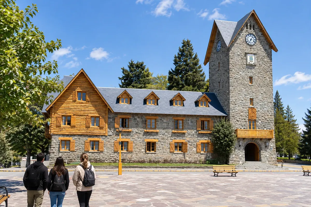
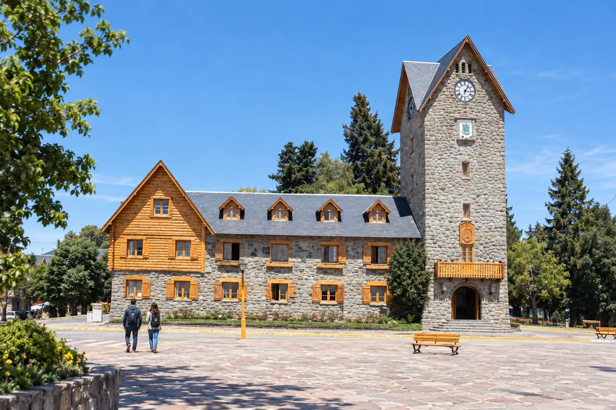
Central square of Bariloche surrounded by stone and wooden buildings, with the clock tower and a passage to rua Mitre.
Río Negro · Argentina
In the destination Bariloche and Rota dos Sete Lagos.
In the photo: Centro Cívico de Bariloche
Illustrative images. The pictures in this guide are illustrations based on the real place, not photographs, and may differ from it.
The city
Bariloche occupies the southern shore of Nahuel Huapi, between urban commerce and the mountains. The Centro Cívico and the Catedral Nuestra Señora del Nahuel Huapi can be visited on foot. To the west, Cerro Campanario and Parque Municipal Llao Llao are part of longer excursions. The airport makes the town the main arrival point for this route.
There's no accommodation in the guide yet in Bariloche.
There are no restaurants in the guide yet in Bariloche.
Know a good one? Recommend it to ushow to get there · how many days · itinerary · questions
The local experience
Central square of Bariloche surrounded by stone and wooden buildings, with the clock tower and a passage to rua Mitre.
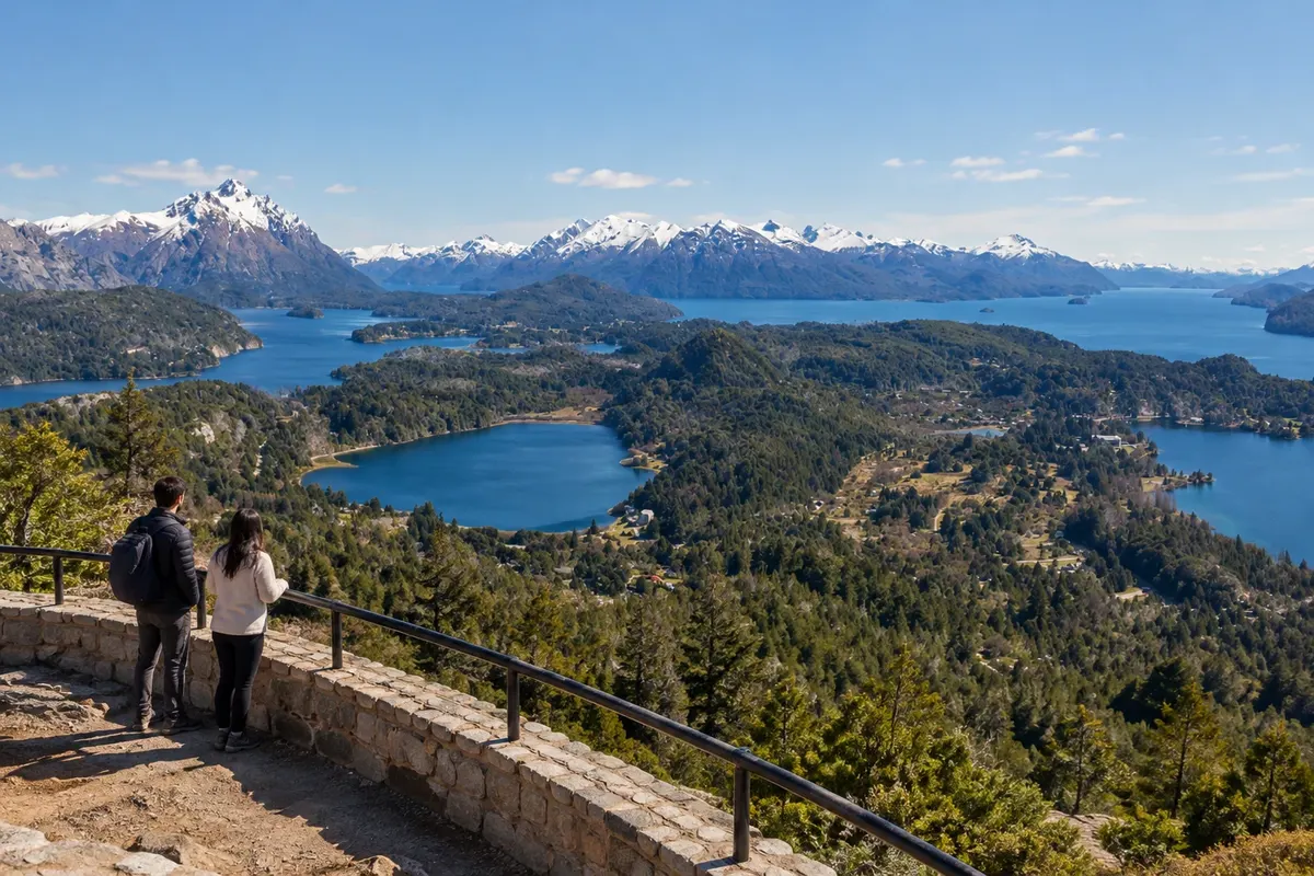
Mountain viewpoint in the western sector of Bariloche, with views over Nahuel Huapi, Lago Moreno and the forests of the Circuito Chico.
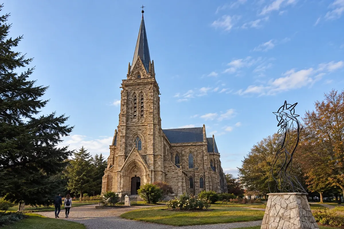
Neogothic stone temple beside the urban shore of Nahuel Huapi, with a tower, stained-glass windows and surrounding gardens.
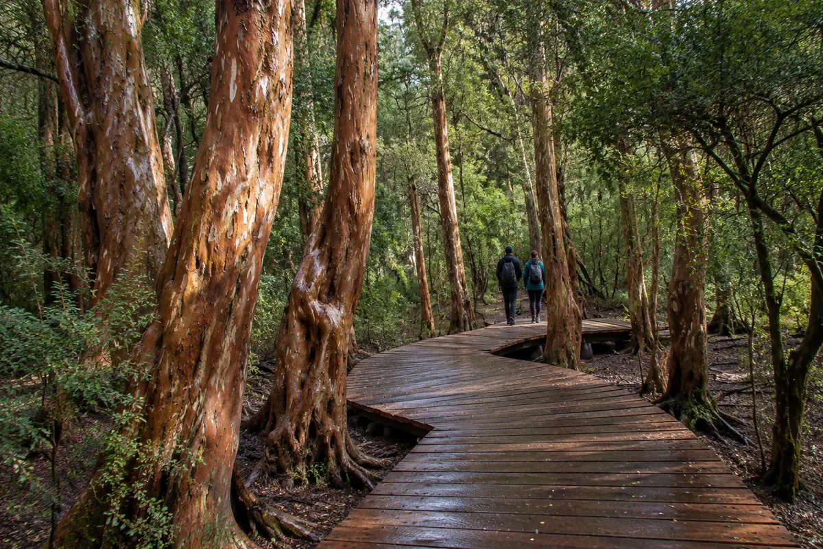
Protected area of Andean forest on the Circuito Chico, with trails among native trees and access to sections of Lagos Moreno and Nahuel Huapi.
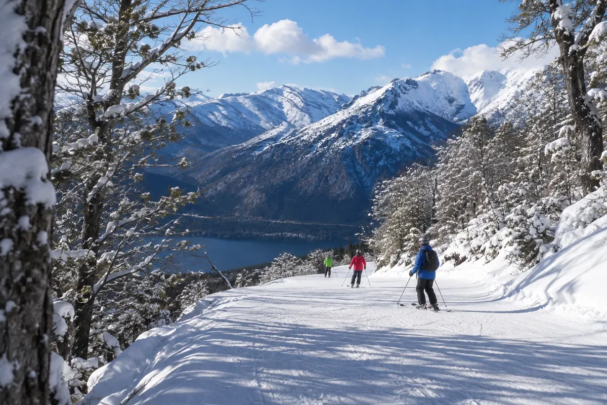
Mountain with ski runs, lifts and a village at the base. The visit also includes views of lakes Nahuel Huapi and Gutiérrez, depending on visibility.
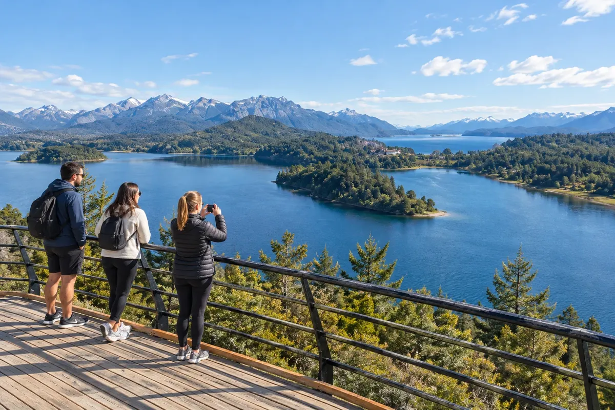
Route along the shores of Nahuel Huapi and Lake Moreno, with stops at viewpoints, beaches and woods in the west of Bariloche.
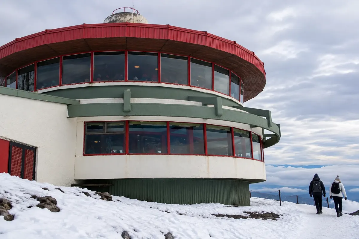
Mountain close to the center, accessible by cable car and featuring a revolving café at the top. The outing combines lake views and activities in the surroundings.
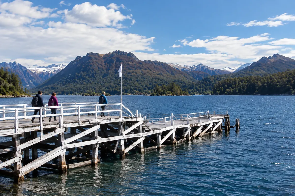
Island on Lake Nahuel Huapi visited by boat from Puerto Pañuelo, with disembarkation at Puerto Anchorena and walks among woods and beaches.
Routes in Argentina
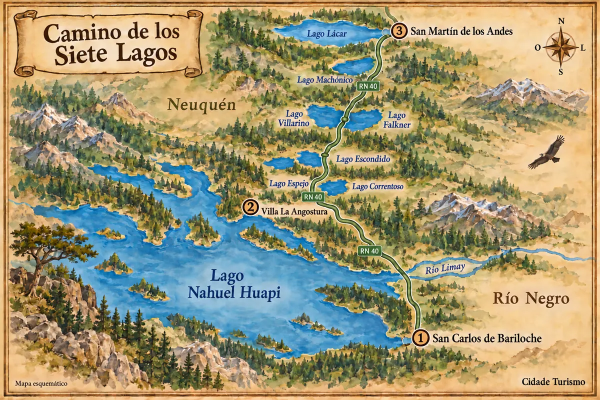
From the shore of Nahuel Huapi in Bariloche to the lakes along RN 40, via Villa La Angostura and San Martín de los Andes.