

 Brazil
 Chile
Chile Colombia
 Peru
Peru Uruguay
 Germany
 Belgium
 Spain
Spain France
 Greece
 the Netherlands
 Ireland
 Italy
Italy Portugal
 the United Kingdom
 Switzerland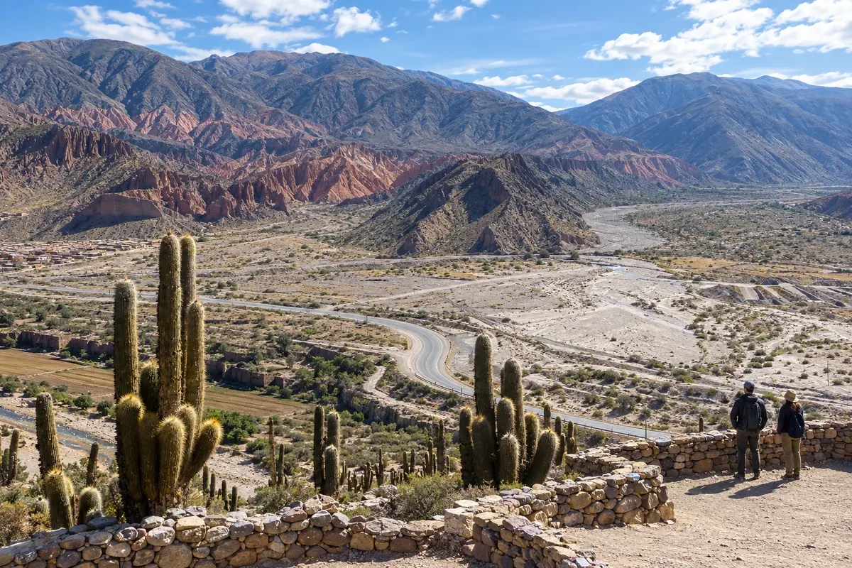
Route · Jujuy
Quebrada de Humahuaca
From San Salvador de Jujuy to Humahuaca via RN9, with the branch to Purmamarca and stops at Maimará, Tilcara and Uquía.
In the photo: Valle del Río Grande, Pucará de Tilcara
Illustrative images. The pictures in this guide are illustrations based on the real place, not photographs, and may differ from it.

The route
What the Quebrada de Humahuaca is
The Río Grande runs through a valley between mountains that brings together villages, adobe churches and traces of occupations predating the arrival of the Spanish. The Quebrada de Humahuaca is a cultural heritage site: its landscapes and routes preserve connections with journeys, exchanges and ways of life that span different periods.
National Route 9 forms the axis of this south-to-north trip. San Salvador de Jujuy is the starting point, offering urban services and access to the regional airport in Perico. Purmamarca lies off the main road: RN52 leads to the village at the Cerro de los Siete Colores, and the itinerary returns to the junction to continue.
Maimará adds the hills of the Paleta del Pintor; Tilcara brings together the Pucará and museums; Uquía preserves the church of Santa Cruz and San Francisco de Paula; Humahuaca has its central square and the Monumento a los Héroes de la Independencia. Visits combine walks through town centers, museum visits and local access to the viewpoints.
The map
6 cities along the way
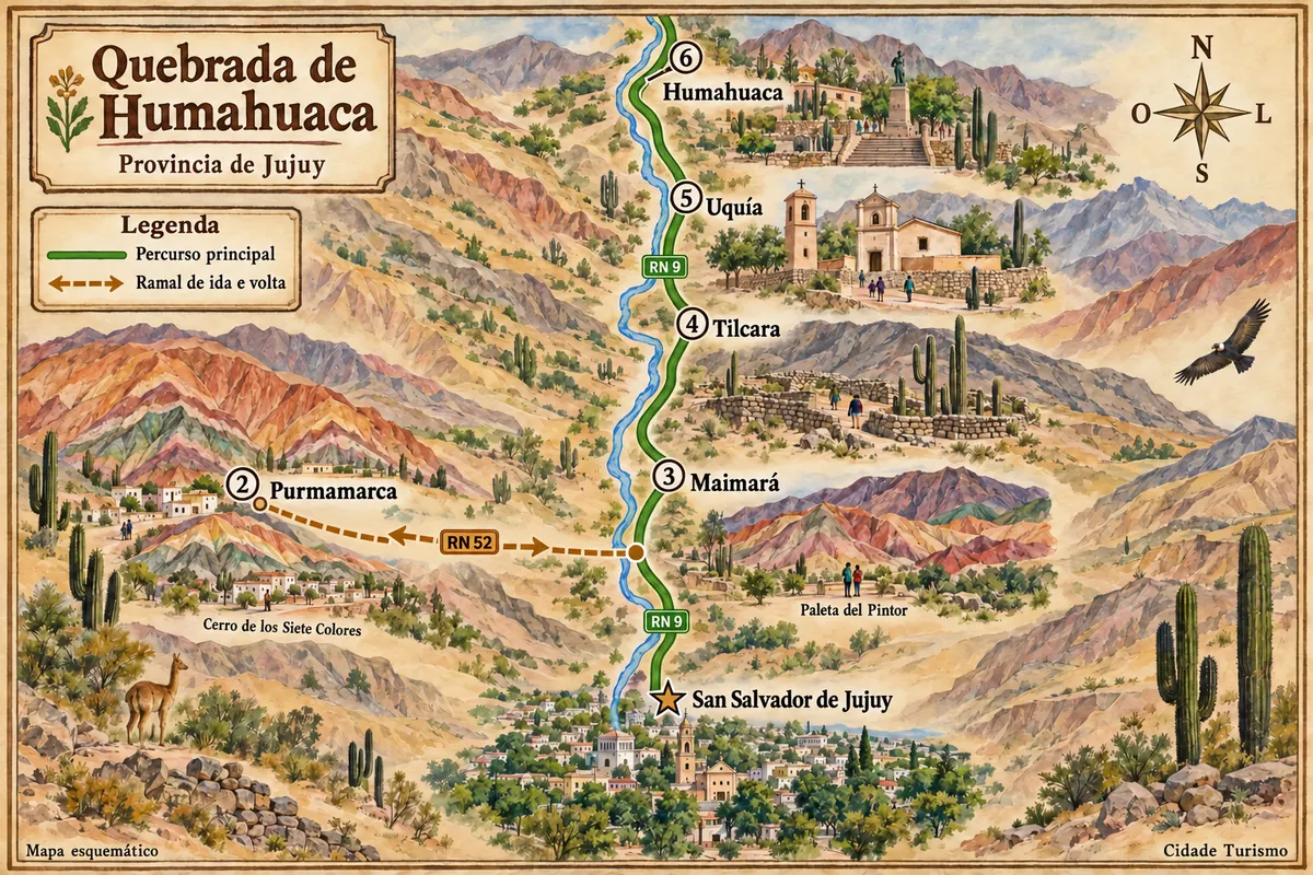
Fuente: Instituto Geográfico Nacional de la República Argentina (IGN), contornos de 2019. Adaptação do Cidade Turismo.
The journey
City by city
Distances and times are approximate: check before you set off.
-
 1 · Jujuy
San Salvador de Jujuy
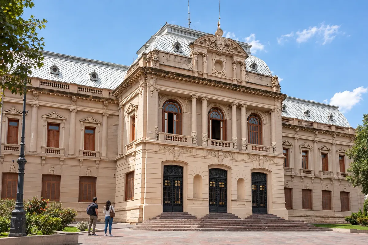
The capital sits at the confluence of the Río Grande and the Xibi Xibi. Plaza Belgrano contains the Cathedral and the Casa de Gobierno; the urban center serves as the starting point before heading up RN9 toward the Quebrada. The regional airport is in Perico.
→ Purmamarca about 71 km RN9 heads north through the Río Grande valley, passing Volcán and Tumbaya. At the junction, follow RN52 west to Purmamarca. The trip shifts from the valley's longitudinal axis to the branch to the Cerro de los Siete Colores.
-
 2 · Jujuy
Purmamarca
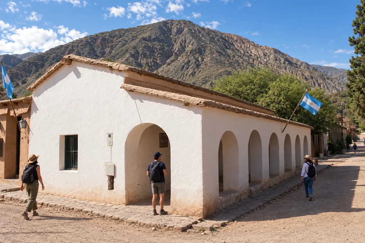
Purmamarca occupies a side valley next to the Cerro de los Siete Colores. The square and the Iglesia Santa Rosa de Lima are in the town center. Arrival is via RN52; after the visit, the route returns to RN9 to continue north.
→ Maimará about 20 km Return via RN52 to the junction with RN9 and continue north to Maimará. The Paleta del Pintor is in the hills opposite the village and its cultivated areas, with a viewpoint by the road.
-
 3 · Jujuy
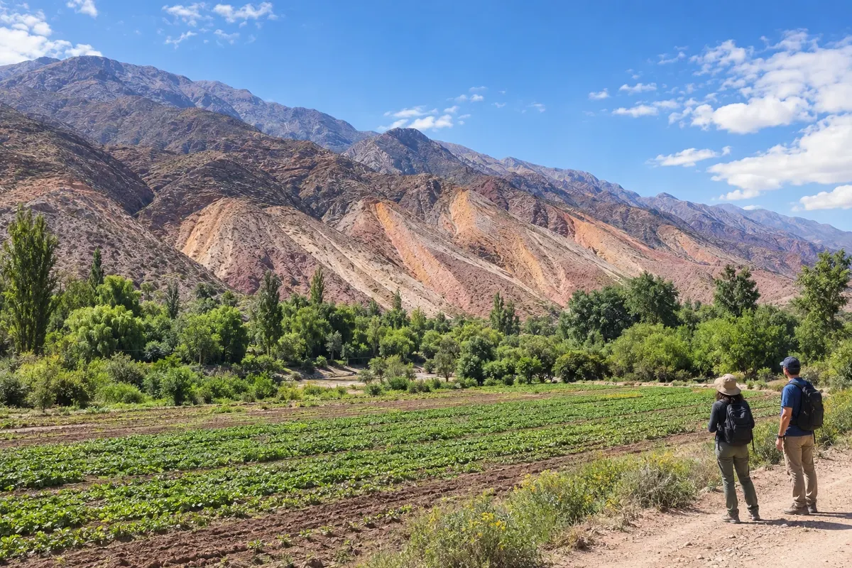
Maimará
Maimará lies in the valley of the Río Grande, facing the colorful hills of the Paleta del Pintor. The viewpoint next to RN9 reveals the relationship between the mountains, the village and its cultivated areas. It is a stop between the Purmamarca branch and Tilcara.
→ Tilcara about 8 km Continue north on RN9 to Tilcara, following the Río Grande valley. Access to the town center leads to the museums and the church; south of the urban core, the Pucará sits on a hill near the Río Huasamayo.
-
 4 · Jujuy
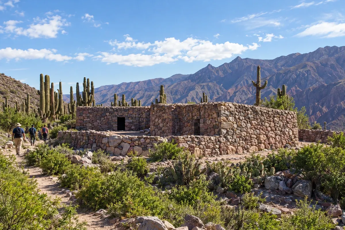
Tilcara
Tilcara brings together the Pucará, the Museo Arqueológico Eduardo Casanova and streets that can be explored on foot. The town has accommodations that allow you to split the trip through the valley; the center is close to RN9, with its own access to visitor sites.
→ Uquía about 34 km RN9 continues north, passing Huacalera on the way to Uquía. The road follows the valley between mountain slopes. In the village, the adobe church sits by the square and has a tower separated from the nave.
-
 5 · Jujuy
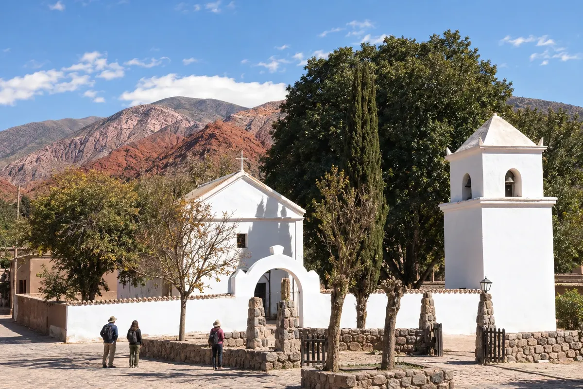
Uquía
Uquía preserves the Capilla de la Santa Cruz y San Francisco de Paula, built of adobe and known for paintings of the Cuzco school. Its tower is separate from the nave. The village lies along RN9, before Humahuaca, and adds historical interest to a stop on the way.
→ Humahuaca about 10 km Proceed north on RN9 to Humahuaca and use the access to the town center. The square, the Cabildo and the staircase of the Monumento a los Héroes de la Independencia are located in the pedestrian visit core.
-
 6 · Jujuy
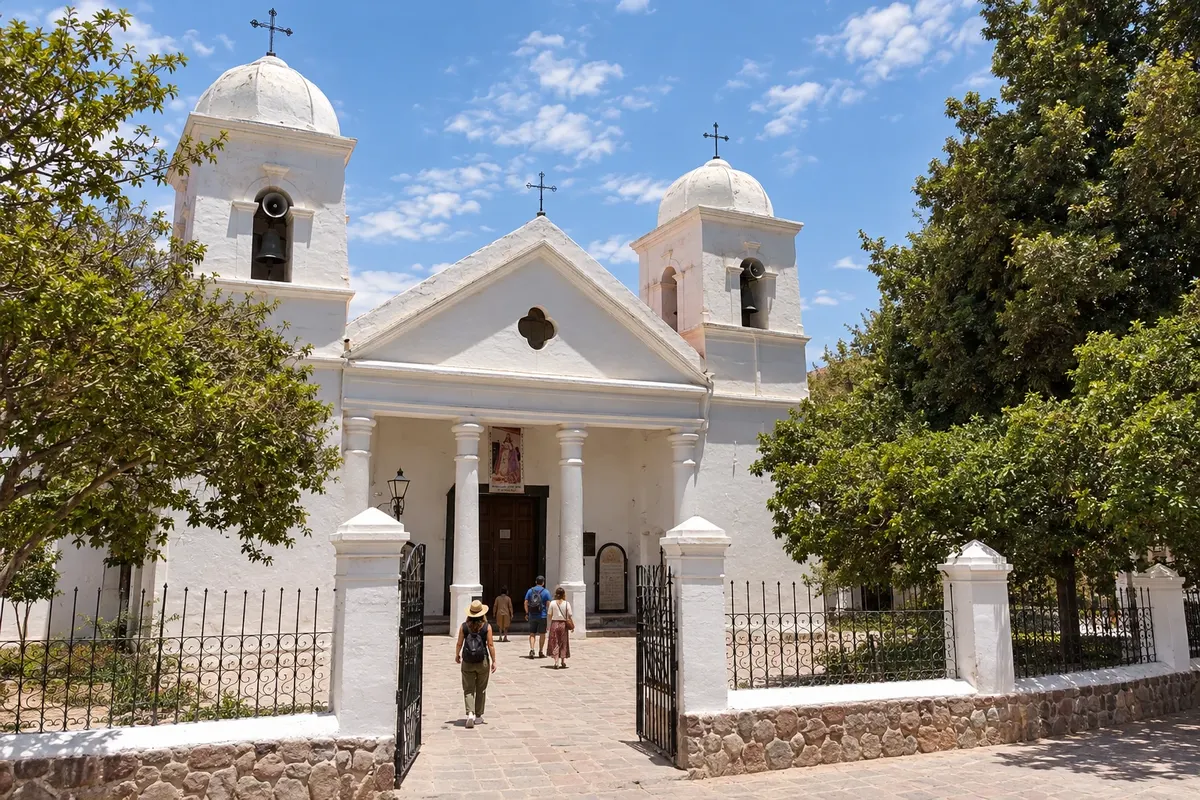
Humahuaca
The center of Humahuaca brings together the square, the Cabildo and the church of Nuestra Señora de la Candelaria y San Antonio. The Monumento a los Héroes de la Independencia sits above the stone staircase. Access to the Hornocal follows the road east of town.
How many days
Three to five days for the six towns, with walks and visits to museums and the Pucará of Tilcara. In Humahuaca, the town center and the monument can take a period of time; for the Hornocal, set aside another period and arrange transport on the road that goes east.
Best time to go
From April to November it usually rains less in the Quebrada. From June to August nights are often cold and the temperature difference between day and night is large. Rains are concentrated from December to March. San Salvador is in a more humid area than the villages to the north; bring clothing for different conditions along the trip.
The seasons shown are the most usual ones; nature doesn't always follow the calendar.
How to travel it
Follow RN9 and make the out-and-back detour via RN52 to Purmamarca. The main road is paved; local streets, viewpoints and trails may have different surfaces. A car or organized tours with transportation make access outside the centers easier. Confirm the requirements for driving with a Brazilian license before traveling.
Who it's for
For those who want to experience mountainous landscapes, Andean heritage and small towns by road, with time to walk through the town centers and visit cultural sites.
Your questions
Frequently asked questions about the Quebrada de Humahuaca
Is Purmamarca located on RN9 itself?
The village is on the RN52 branch. After the visit, return to the junction with RN9 to continue to Maimará, Tilcara and Humahuaca.
Is it worth spending the night in San Salvador before heading up to the Quebrada?
The capital has a center that can be explored on foot around Plaza Belgrano and serves as a starting point for RN9. For those arriving by plane, the regional airport is in Perico; spending a night in the city separates arrival from the start of the valley trip.
How do you get to the Hornocal from Humahuaca?
The route leaves Humahuaca eastward via RP73. The viewpoint is accessed by a dirt road at altitude, with local transport available for the visit. Allow time and confirm access conditions before going.
Is a car necessary?
There is transportation between the towns along the corridor. For viewpoints and routes outside the centers, a car or an excursion with transport makes access easier; confirm options before you go.
What is the climate usually like?
Rains are concentrated from December to March. From June to August nights are usually cold. There is a notable temperature difference between day and night, and San Salvador tends to be more humid than the villages in the Quebrada.