Brazil
 Chile
Chile Colombia
 Peru
Peru Uruguay
 Germany
 Belgium
 Spain
Spain France
 Greece
 the Netherlands
 Ireland
 Italy
Italy Portugal
 the United Kingdom
 Switzerland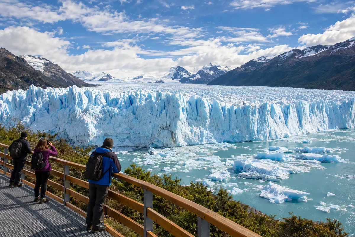
2 cities
Province · Patagônia
Glaciers, lakes and mountains meet in the west of Santa Cruz, between El Calafate and El Chaltén, while the steppe stretches to the Atlantic.
In the photo: Shore of Lago Argentino, El Calafate region, Santa Cruz
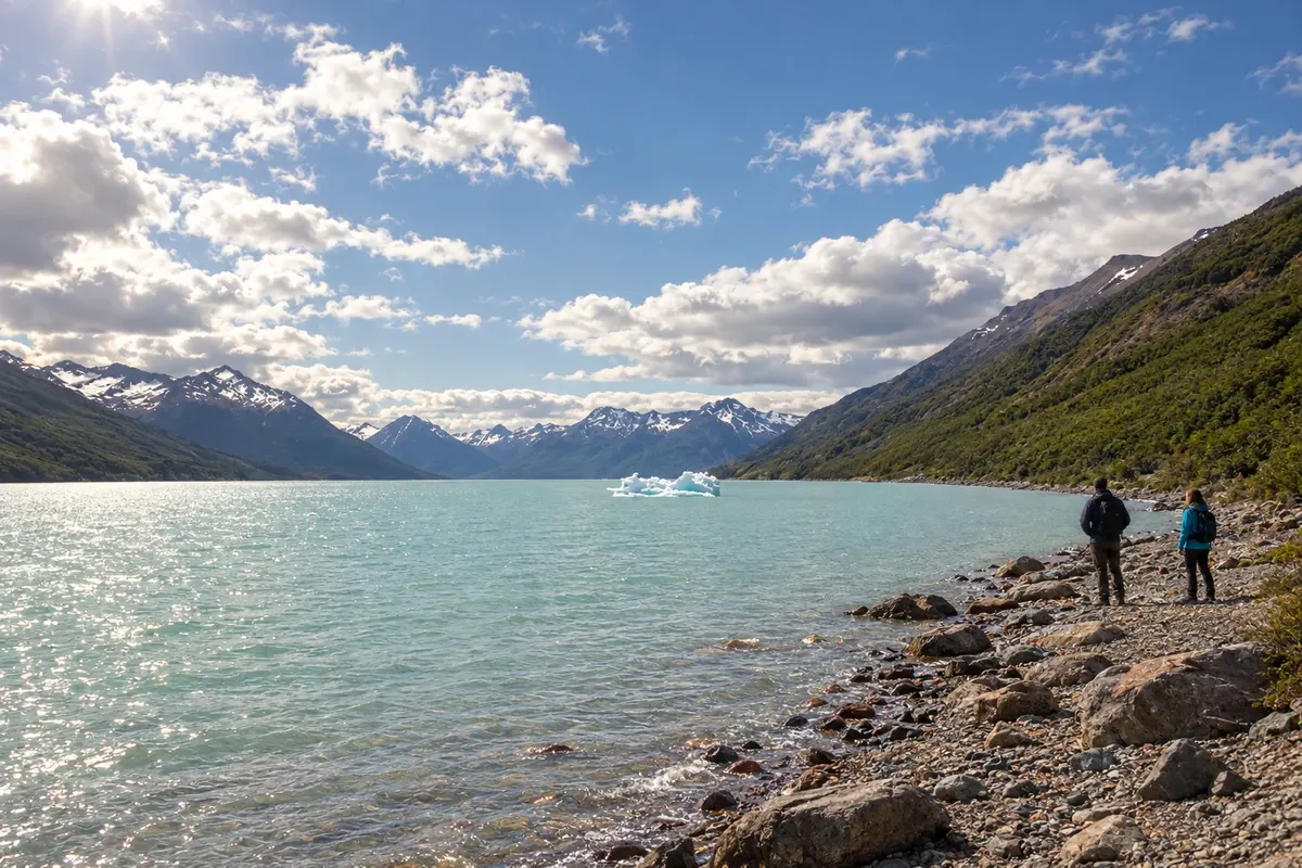
Illustrative images. The pictures in this guide are illustrations based on the real place, not photographs, and may differ from it.

The province
Santa Cruz covers a large area of the Patagônia austral. The steppe dominates much of the territory between the Atlantic coast and the Andes; in the west, glacial lakes, woodlands and ice fields change the landscape. Río Gallegos is the provincial capital, distant from the bases most used to see the glaciers.
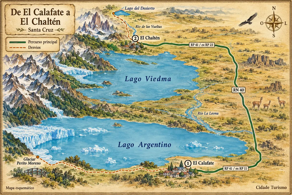
El Calafate and El Chaltén are the main bases for visiting the glaciers and the trails of the province's western sector. El Calafate sits beside Lago Argentino and serves as a base for the Perito Moreno glacier and for boat trips to the Upsala and Spegazzini glaciers. Walkways and boat excursions offer different ways to view the ice and the lake's arms.
El Chaltén is located in the northern sector of Parque Nacional Los Glaciares, with trails that start from the village toward Fitz Roy and Cerro Torre. Short routes and full-day hikes have different requirements. North of the town, Lago del Desierto adds forest and water to the landscape, with its own access.
The province's history includes indigenous peoples, sheep farming and the development of towns linked to ports and estancias. Patagonian lamb is served roasted and in other preparations, and the calafate berry appears in sweets, ice creams and liqueurs. The Fiesta Nacional del Lago brings together cultural and sporting activities in El Calafate, tied to the February celebrations.
Destinations
Cities
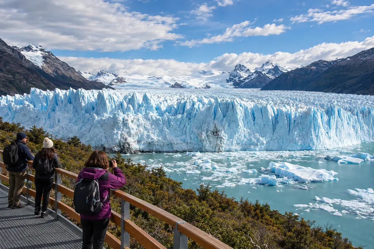
El Calafate is on the southern shore of Lago Argentino and serves as the air arrival point for the southern sector of Los Glaciares. The walkways to Perito Moreno require a road trip, while the Laguna Nimez Reserve is close to the urban area. The Glaciarium presents glacier formation; Lago Roca adds a landscape of forest and steppe.
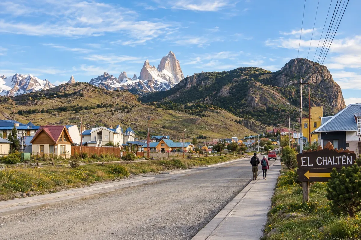
El Chaltén is located at the confluence of the Fitz Roy and de las Vueltas rivers, near the northern sector of Los Glaciares. The town is a base for hikes to Laguna de los Tres and Laguna Torre. Chorrillo del Salto and Mirador de los Cóndores offer shorter route options. The pace of your stay depends on the routes chosen and mountain conditions.
Routes
November to March usually favors hiking in El Chaltén because of the longer days; wind, rain and cold still form part of the trip. April brings colder nights, and from May to September snow and ice alter the mountain routes. The steppe is drier than the Andean woodlands, and the coast has its own cold and wind. The glaciers can be visited in different months, with excursions subject to the weather. The Fiesta Nacional del Lago typically concentrates its main events in February.
For the glacier itinerary, arrive at the Aeroporto Internacional Comandante Armando Tola, in El Calafate. In some seasons there are direct flights from Brazil; for the rest of the year the connection is via Buenos Aires. Confirm before buying. Río Gallegos has the Aeroporto Internacional Piloto Civil Norberto Fernández, useful for other provincial routes. The El Calafate–El Chaltén connection uses the access roads known as RP 11 and RP 23, linked by RN 40; RN 3 runs along the Atlantic side.
Your questions
Seven to ten days allow you to visit Perito Moreno, take a boat trip and reserve several days for hikes in El Chaltén. Having time in each base helps you choose routes according to the weather and the desired level of effort.
It is the main air gateway used on this route. After landing, the journey to El Chaltén is by land—by bus, transfer or car—combining the access from El Calafate, RN 40 and the road leading into the village.
The walkways allow you to view the glacier without doing ice trekking. Boat trips and activities on the glacier are distinct excursions, each with its own requirements; choose according to your mobility and the type of experience you want.
Many trails start in the village itself, so a central base makes it easy to set out on foot. Trips to Lago del Desierto and other distant points require transport; arrange those transfers separately from local hikes.