Brazil
 Chile
Chile Colombia
 Peru
Peru Uruguay
 Germany
 Belgium
 Spain
Spain France
 Greece
 the Netherlands
 Ireland
 Italy
Italy Portugal
 the United Kingdom
 Switzerland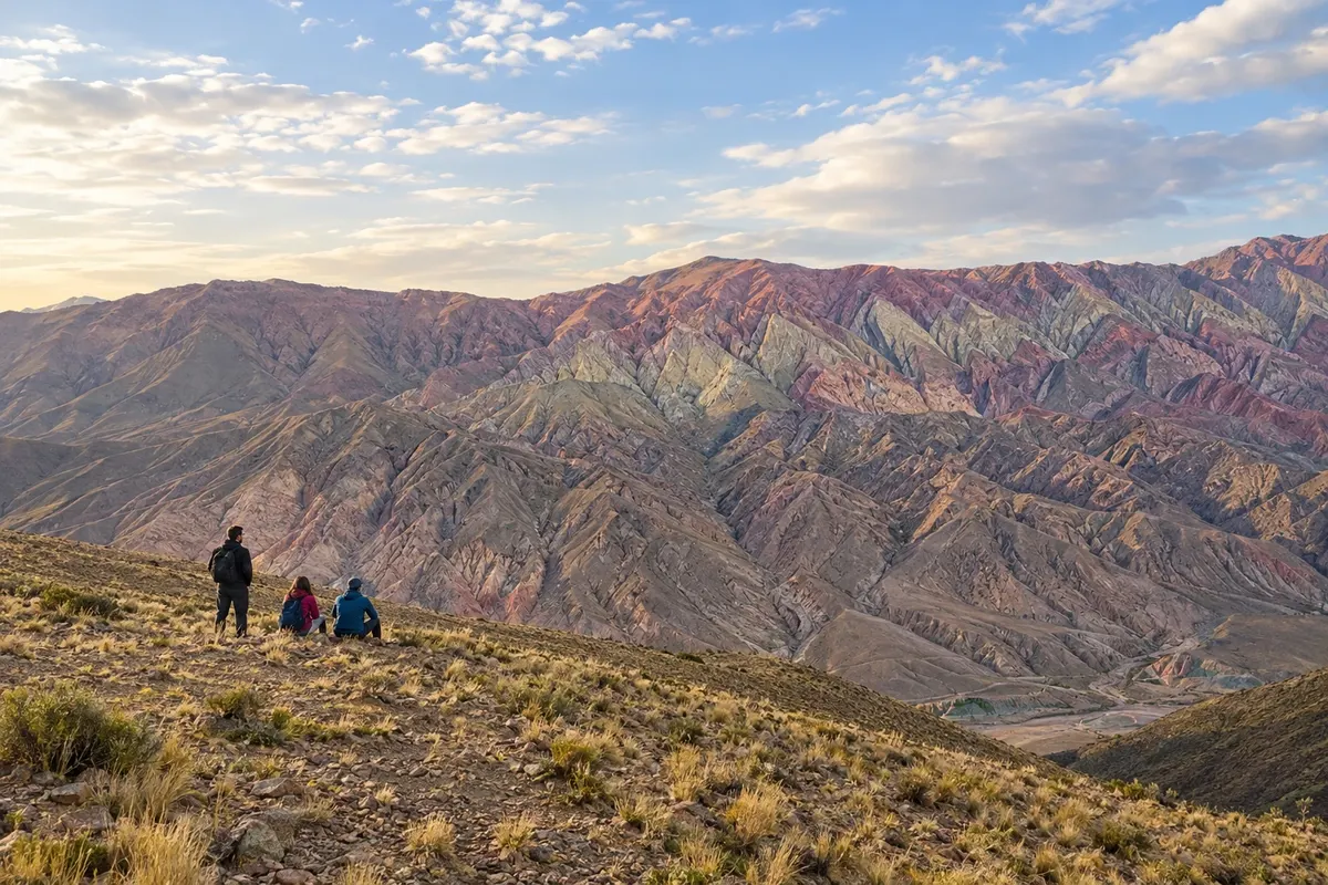
6 cities
Province · North
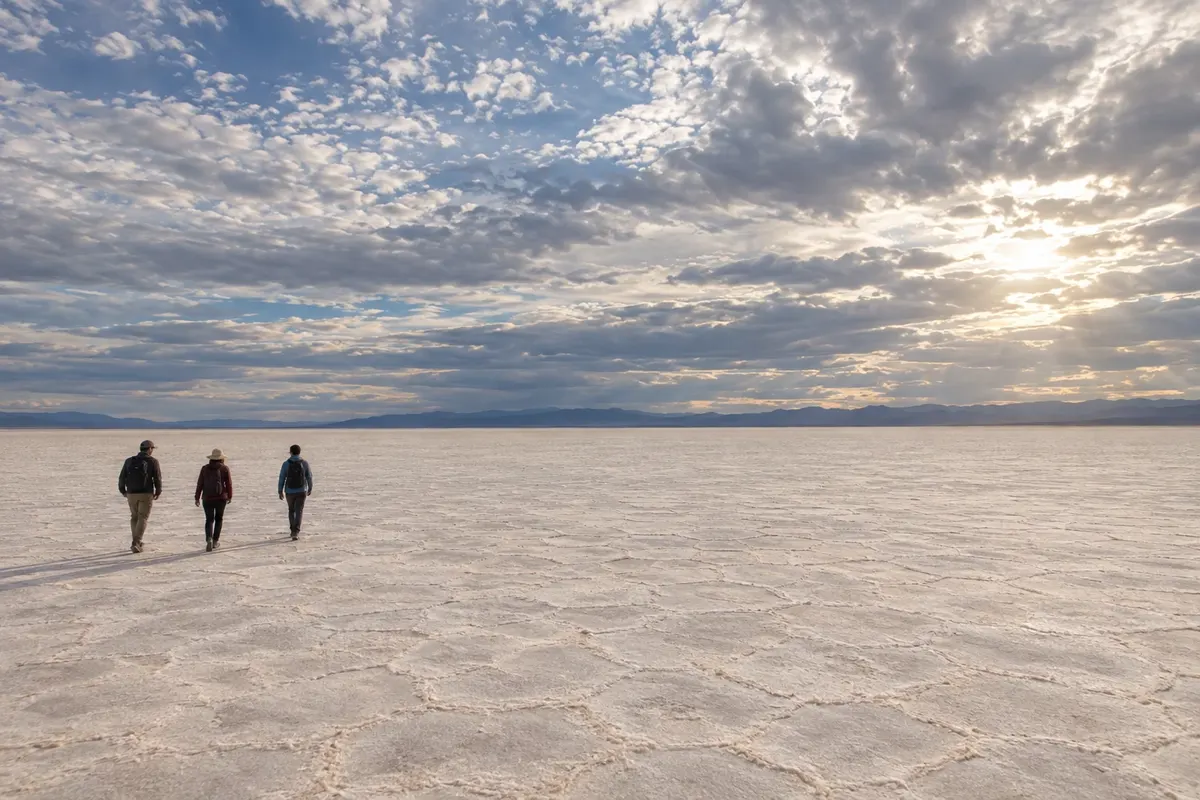
The Quebrada de Humahuaca, the Puna and the Yungas show different landscapes of Jujuy, among villages, salt flats and Andean traditions.
In the photo: Salinas Grandes, Puna de Jujuy
Illustrative images. The pictures in this guide are illustrations based on the real place, not photographs, and may differ from it.

The province
Jujuy is located in the far north of Argentina. Its lower valleys and the Yungas forests contrast with the Quebrada de Humahuaca and the high plains of the Puna. Altitude changes over the course of a single trip, from the surroundings of San Salvador de Jujuy to the salt flats and the mountain passes.
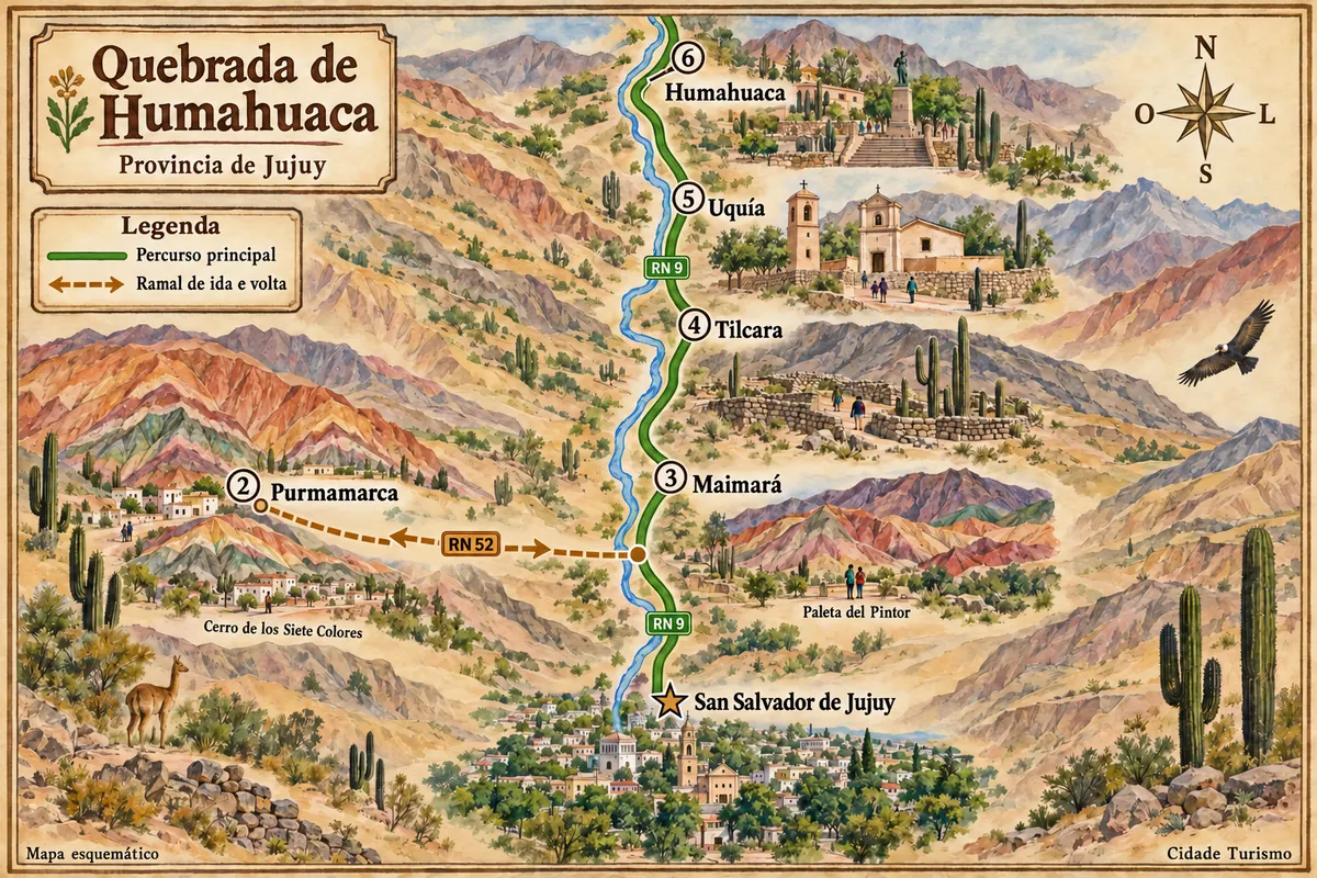
From San Salvador de Jujuy, the trip follows the quebrada to Purmamarca, Maimará, Tilcara, Uquía and Humahuaca. The capital has a plaza, Cabildo and museums; Purmamarca sits next to the Cerro de los Siete Colores. Maimará accompanies the Paleta del Pintor, Tilcara has the Pucará, Uquía preserves its historic church and Humahuaca brings together traditional houses and monuments.
The Quebrada de Humahuaca preserves traces of ancient Andean travel routes, archaeological sites and cultural practices kept by the communities. Carnival and the Pachamama ceremonies are part of that local life. Route RN 9 runs through the valley; RN 52 climbs from Purmamarca via the Cuesta de Lipán to the Salinas Grandes.
Corn, potato and quinoa appear in preparations such as humitas, tamales and calapurca. Quesillo with cayote and high-altitude wines add other flavors. To get to know the villages, it's worth splitting nights along the quebrada and reserving separate days for the Hornocal or the Salinas Grandes, which involve more ascent and travel.
Destinations
Cities
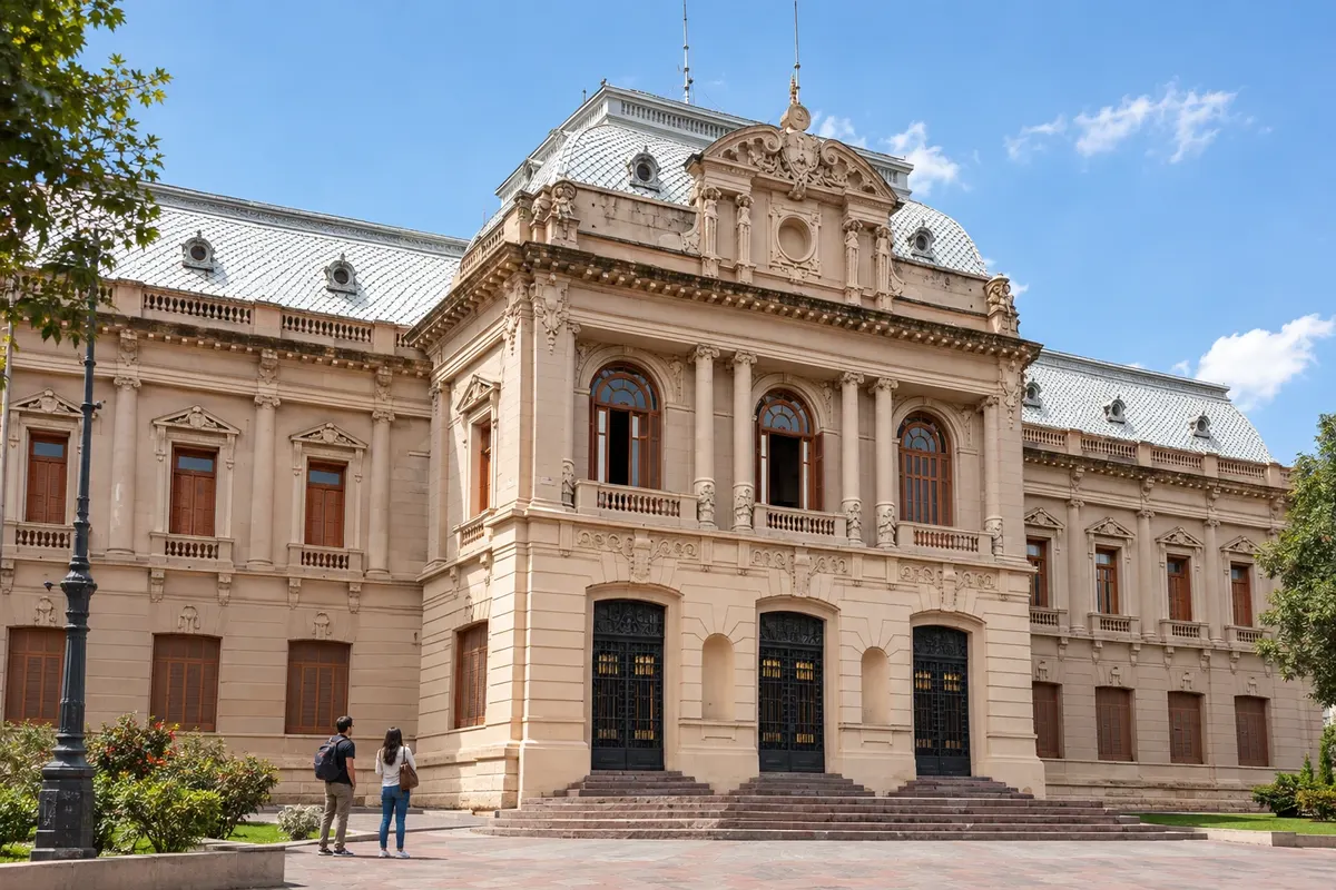
San Salvador de Jujuy is the provincial capital and the air entry point for this route. Plaza Belgrano brings together the cathedral, the Cabildo and the Casa de Gobierno, with spaces linked to the history of the flag. Museo Histórico Provincial Juan Galo Lavalle and Parque Xibi Xibi complete the urban visit before heading to the Quebrada.
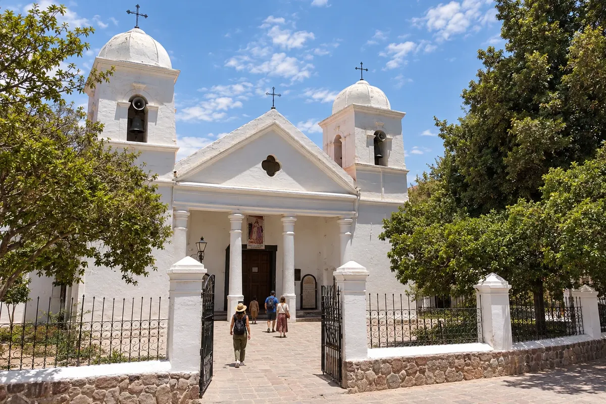
Humahuaca brings together the cathedral and the Cabildo in a center of narrow streets. The staircase leads to the Monumento a los Héroes de la Independencia. The Mirador de la Serranía de Hornocal is outside the town, via an uphill road, and requires its own time for the trip and the higher altitude.
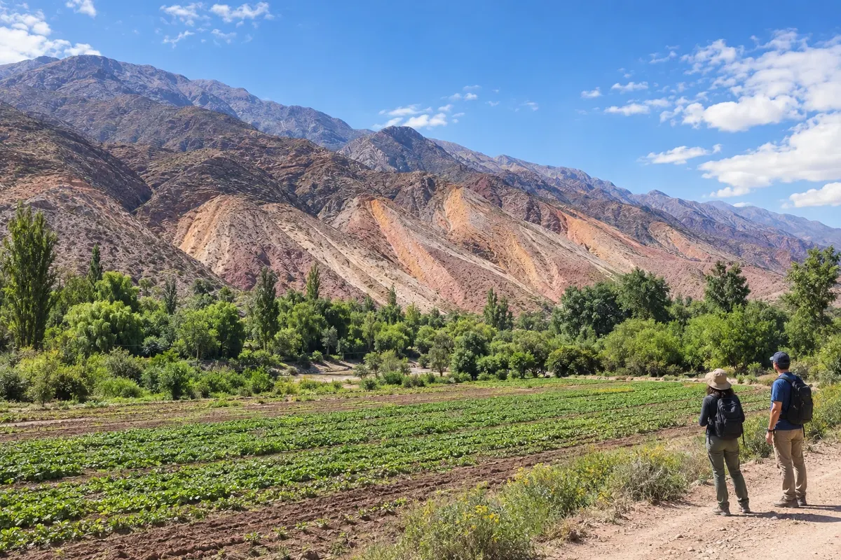
Maimará is in the Río Grande valley, between Purmamarca and Tilcara. In front of the village, the hills of the Paleta del Pintor have layers of different colors. The lookout by RN9 shows the mountains, the cultivated areas and the center near the square, on a roadside stop through the Quebrada.
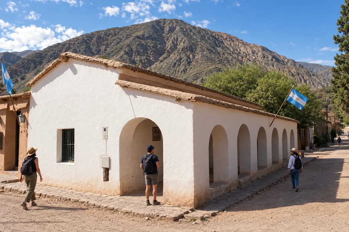
Purmamarca sits beside the Cerro de los Siete Colores, with compact streets around the plaza. The Iglesia Santa Rosa de Lima preserves adobe architecture and religious paintings. The Paseo de los Colorados passes by red slopes; the Salinas Grandes require a separate road trip via Ruta Nacional 52.
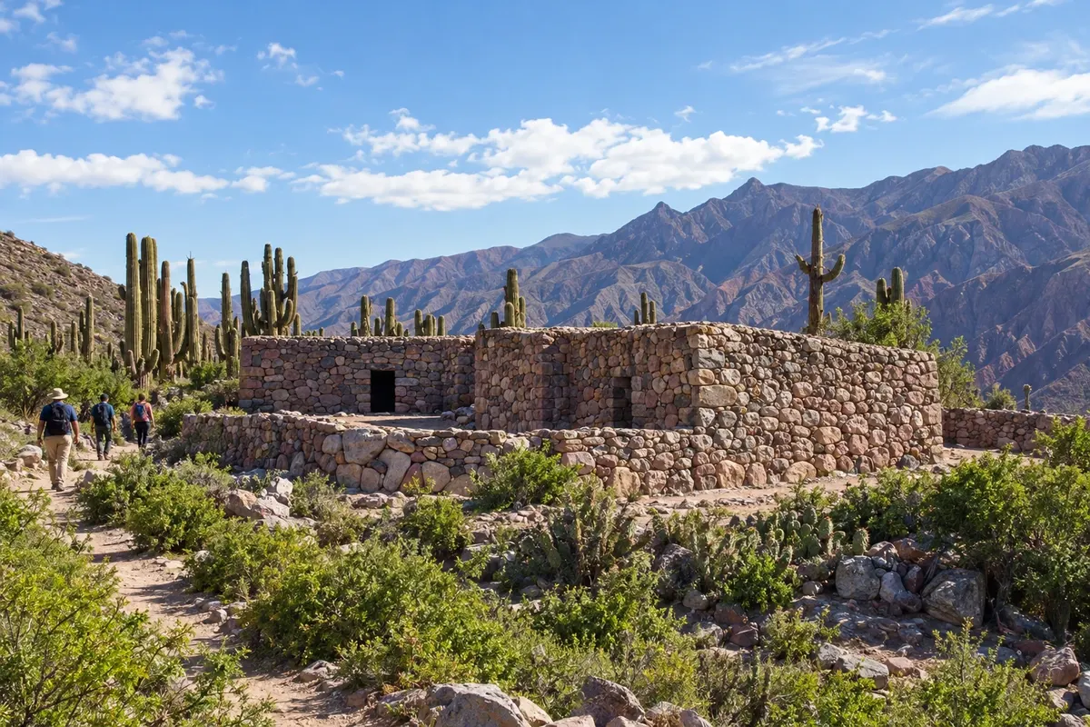
Tilcara combines archaeology and cultural life in the center of the Quebrada. The Pucará and the Jardín Botánico de Altura lie to the south of the village. The Eduardo Casanova and Terry museums and the church make up the main route. The Garganta del Diablo is a mountain walking outing that requires its own time.
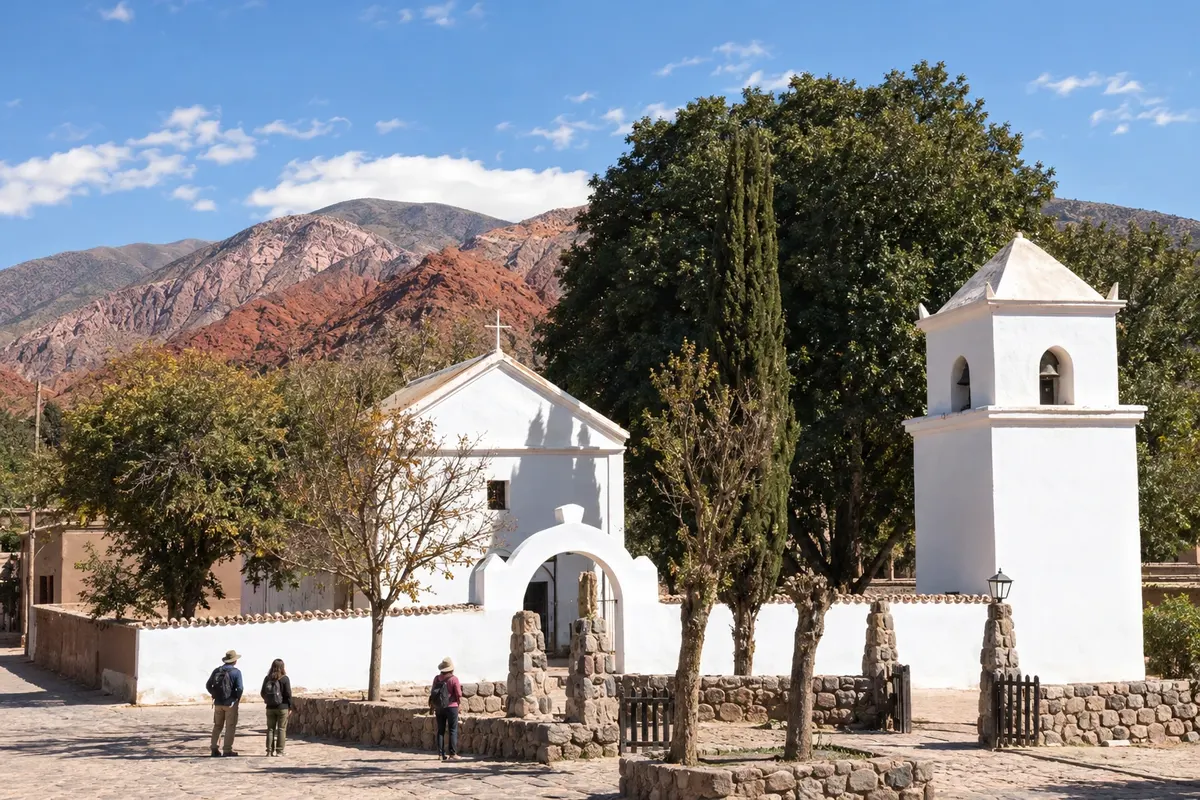
Uquía sits alongside RN9, south of Humahuaca. The Capilla de la Santa Cruz y San Francisco de Paula has adobe walls, a tower separated from the nave, and paintings of the Cusco school. The plaza in front of the temple is the focal point of visits to the small center, on a stop between Tilcara and Humahuaca.
Routes
April to June and September to November tend to favor outings in the quebrada with less rain. From December to March, precipitation is more present in the valleys and the Yungas; the Puna remains drier and has cold nights. June to August usually brings strong nighttime cold and frosts in the high areas. Carnival takes place in February or March, depending on the year, and August is the month of the Pachamama ceremonies. Snow is not the defining activity of this route through the villages.
Gobernador Horacio Guzmán International Airport is in Perico and serves San Salvador de Jujuy. To leave Brazil, one alternative is a connection in Buenos Aires; also consider arriving via Salta and continuing by land. RN 34 provides access from the east, and RN 9 links the Jujuy capital to the towns of the Quebrada de Humahuaca. Purmamarca is on a detour via RN 52, which continues to the Salinas Grandes and the Paso de Jama. The choice of road should take into account the altitude of the route.
Your questions
Five to seven days allow you to visit the capital and the villages, adding a day for the salt flats and another for the Hornocal. Leave higher-altitude transfers until after you know how your body reacts to the altitude.
Purmamarca makes it easier to set out via RN 52 to the salt flats; Tilcara occupies an intermediate position in the quebrada and has its own excursions. Humahuaca lies further north and brings the itinerary closer to the Hornocal. Your base should match the routes you choose.
They are different transfers: the salt flats are beyond the Cuesta de Lipán, via RN 52, and the Hornocal is reached from Humahuaca. Separating them into their own days reduces hours on the road and concentrated ascents in a single day.
Buses run along the RN 9 axis and serve the main localities. For remote viewpoints and high-altitude routes, excursions or transport arranged at your chosen base complement the trip; confirm departure and return times.