Brazil
 Chile
Chile Colombia
 Peru
Peru Uruguay
 Germany
 Belgium
 Spain
Spain France
 Greece
 the Netherlands
 Ireland
 Italy
Italy Portugal
 the United Kingdom
 Switzerland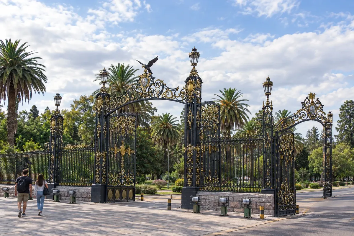
6 cities
Province · Cuyo
Irrigated vineyards, towns with tree-lined plazas and the Aconcagua mountain range shape the trip through Mendoza.
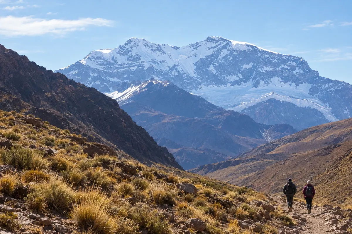
In the photo: Cerro Aconcagua seen from the Horcones sector, Mendoza
Illustrative images. The pictures in this guide are illustrations based on the real place, not photographs, and may differ from it.

The province
Mendoza occupies western Argentina, in the Cuyo region, between the mountain range and dry plains. The water descending from the Andes feeds agricultural oases and irrigation channels. In the provincial capital, the acequias run alongside tree-lined streets, and the plazas help explain the urban reconstruction after the 19th-century earthquake.
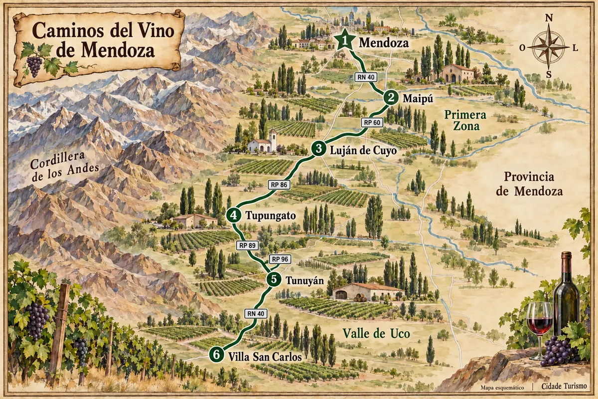
Mendoza, Maipú, Luján de Cuyo, Tunuyán, Tupungato and San Carlos offer different bases for exploring the oases and vineyards. Maipú and Luján de Cuyo lie around the capital; Tunuyán, Tupungato and San Carlos make up the Valle de Uco, with vineyards close to the Andean foothills. Staying in more than one of these areas can reduce travel between visits.
Malbec is a hallmark of local production, alongside Cabernet Sauvignon, Chardonnay and other grape varieties. Visits to bodegas combine the history of the crops, winemaking and tasting; empanadas mendocinas, asado and dishes made with products from the oases appear in restaurants. The Vendimia celebrates the harvest with parades, music and performances.
RN 7 follows the río Mendoza toward the high mountains, passing the surroundings of Potrerillos and Puente del Inca. In Parque Provincial Aconcagua, the Horcones sector allows experiencing the Andean landscape without making an expedition to the summit. The history of the Exército dos Andes, prepared in the region under the command of San Martín, is also present in museums and monuments.
Destinations
Cities
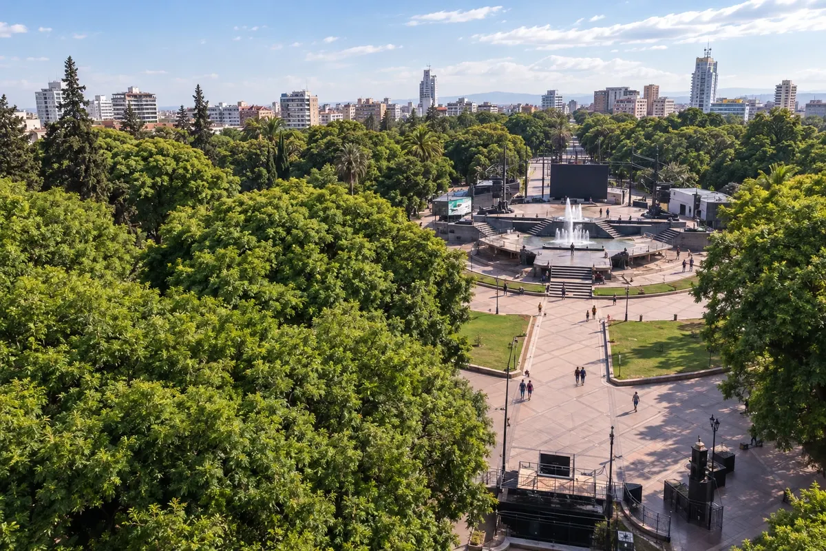
Mendoza is the provincial capital and the gateway for this itinerary. Plaza Independencia structures the tree-lined downtown. Parque General San Martín has monumental gates and paths for strolling; Cerro de la Gloria hosts the monument to the Army of the Andes and views over the city. At the Museo del Área Fundacional, the remains of the old Cabildo help to understand the city as it was before the 1861 earthquake.
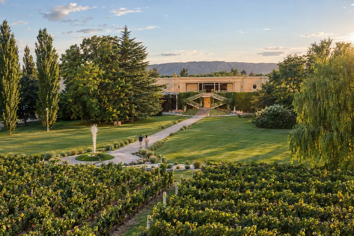
Luján de Cuyo occupies the stretch south of Gran Mendoza and brings together wine and mountain districts. Plaza General Espejo marks the center of Chacras de Coria. In Perdriel, Bodega Norton has historic facilities and tours related to wine production. Further west, Puente Colgante de Cacheuta spans the Mendoza River; the Embalse Potrerillos sits among rocky slopes.
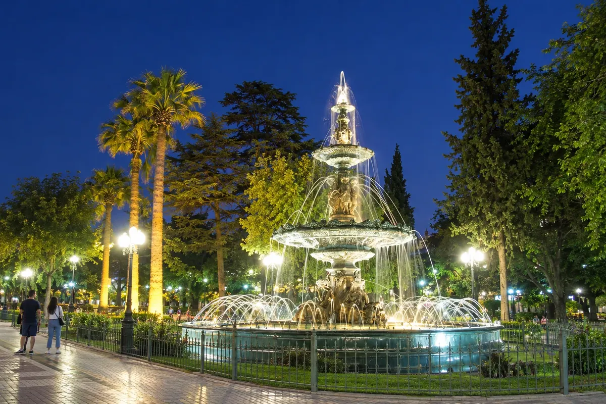
Maipú is a city of the Gran Mendoza where the history of wine appears in museums and wineries. Plaza 12 de Febrero has a central fountain and tree-lined paths. The Museo Nacional del Vino y la Vendimia occupies the former chalets of Giol and Gargantini. In other parts of the department, Bodega Trapiche and Bodega La Rural – Museo del Vino welcome visitors interested in production and viticultural heritage.
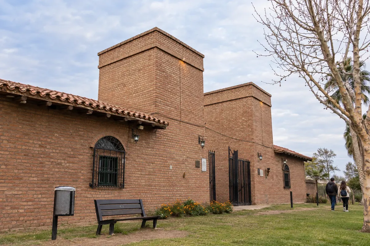
Villa San Carlos is the seat of the San Carlos department, in the southern Valle de Uco. The vineyards of Paraje Altamira lie west of RN 40; there, Bodega Zuccardi Valle de Uco welcomes visits at its Finca Piedra Infinita. The village and the wineries occupy different locations within the department.
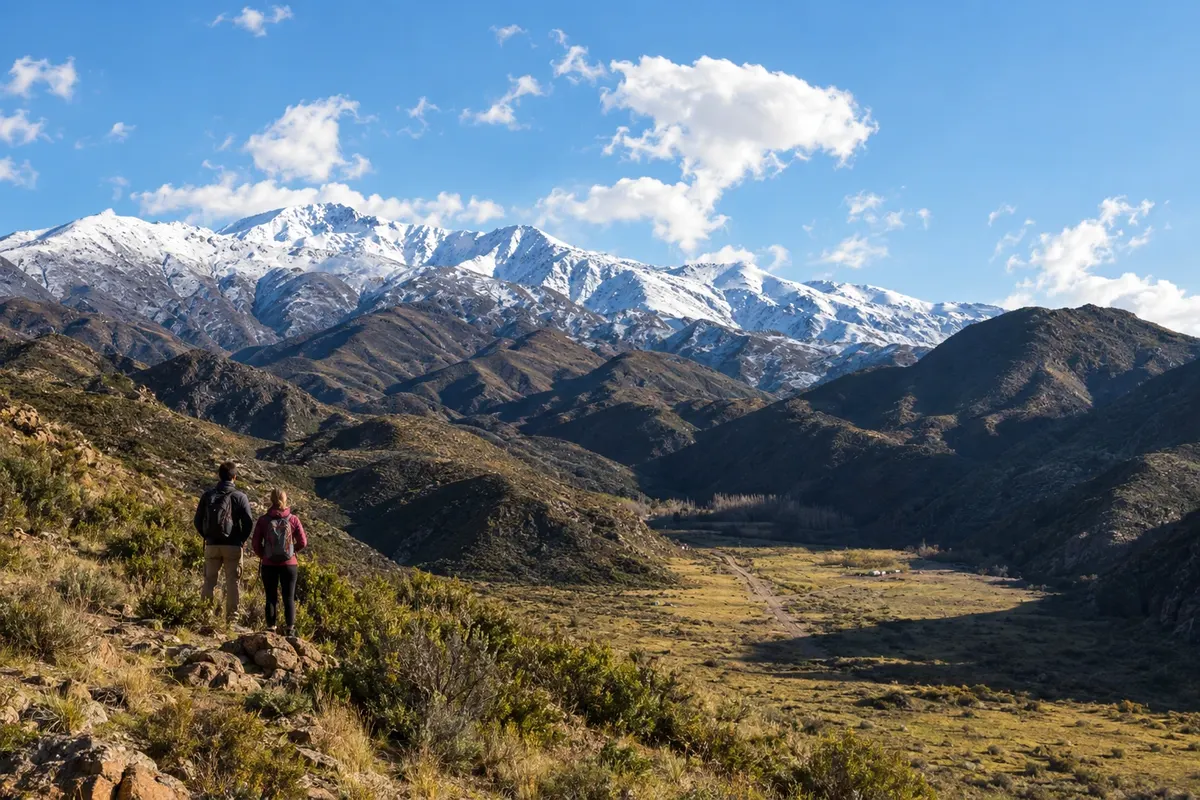
Tunuyán is an urban base in the Valle de Uco, south of Mendoza. The Plaza Departamental General San Martín has trees, a fountain and works related to the memory of the general. Parque La Lombardía follows the riverbank. In the Los Chacayes area, the Reserva Manzano Histórico brings together mountain scenery and references to San Martín's return; the Monumento Retorno a la Patria is part of that circuit.
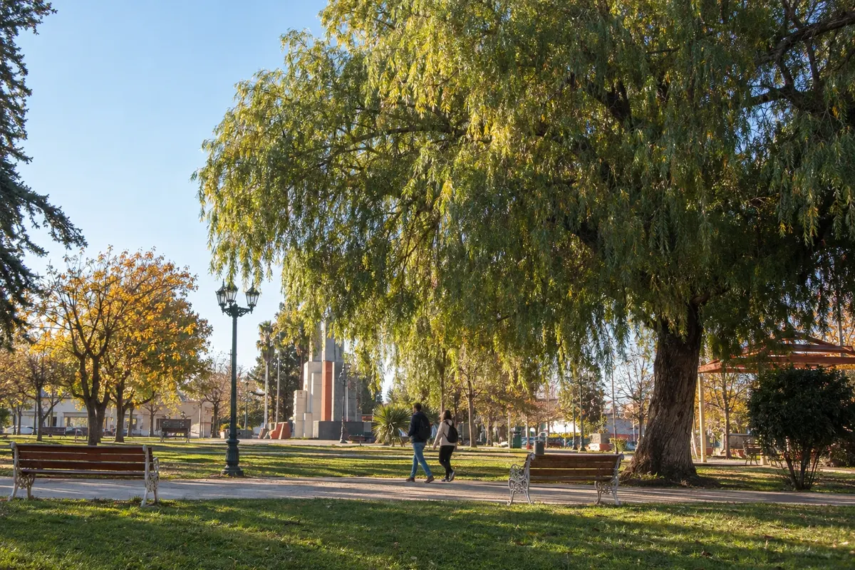
Tupungato is the town in the northern Valle de Uco, next to the high-altitude vineyards of the Cordón del Plata. Andeluna, in Gualtallary, and Atamisque, in San José, accept visits by reservation. The town center has services for your stay; the two wineries are in rural districts, with transfers along RP 89 and RP 86.
Routes
March to May and September to November usually have milder temperatures in the oases for visiting wineries. December to February brings heat to the lowlands and can bring storms; in the mountain range, altitude and wind keep a different temperature. The harvest picks up between February and April, and the Vendimia festivities are concentrated between February and March. June to August is typically cold with snow in the high mountains. For trekking on Aconcagua, the summer season is more common from November to March.
Arrive via Aeropuerto Internacional Gobernador Francisco Gabrielli, known as El Plumerillo, in Las Heras, in Mendoza's metropolitan area. In some seasons there are direct flights from Brazil; for the rest of the year, the connection is via Buenos Aires. Confirm before you buy. By car, RN 7 links the provincial capital to eastern Argentina and the mountain range. RN 40 runs to the Valle de Uco, with access via RP 86 and RP 89 in different sectors of the valley.
Your questions
Five to seven days allow you to see the capital, a nearby winery area, the Valle de Uco and the high mountains. Set aside a day for the Aconcagua route, separate from tasting visits.
The capital concentrates services and urban activities and serves as a base for Maipú and Luján de Cuyo. Staying in the Valle de Uco reduces travel time to wineries in Tunuyán, Tupungato and San Carlos; splitting nights between areas is useful on longer itineraries.
Choose a tour, a hired driver or a transfer with a return arranged. Confirm each bodega visit in advance and allow time for lunch and transfers between vineyards.
The visit to the Horcones sector is different from climbing the mountain. There are walking routes to observe the valley and Aconcagua; check the route available for your date and take into account altitude, wind and physical fitness.