Brazil
 Chile
Chile Colombia
 Peru
Peru Uruguay
 Germany
 Belgium
 Spain
Spain France
 Greece
 the Netherlands
 Ireland
 Italy
Italy Portugal
 the United Kingdom
 Switzerland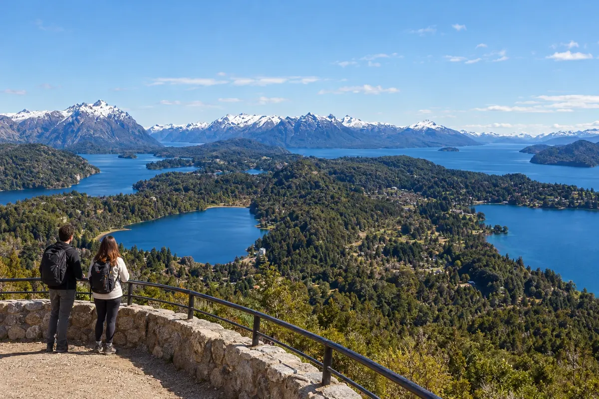
1 city
Province · Patagônia
In Río Negro, Bariloche opens the way to Andean lakes and forests; the province also has steppes, vineyards and an Atlantic coast.
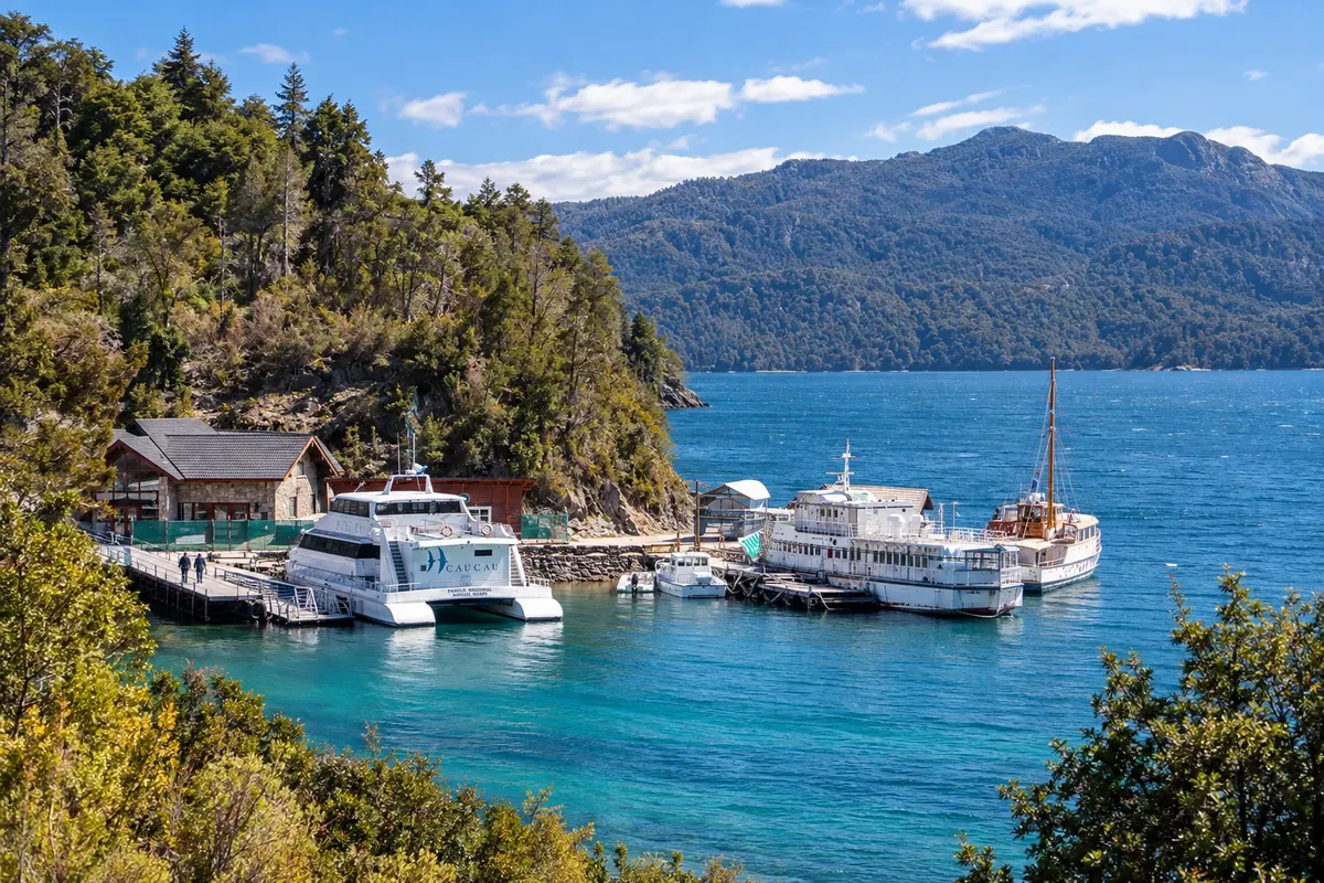
In the photo: Puerto Pañuelo, lago Nahuel Huapi, Bariloche, Río Negro
Illustrative images. The pictures in this guide are illustrations based on the real place, not photographs, and may differ from it.

The province
Río Negro crosses the Patagonia between the Andes and the Atlantic. In the west, mountains and lakes coexist with forests; in the center, steppe landscapes predominate. The Río Negro valley concentrates fruit and wine production, while the coast has beaches and cliffs, with Viedma as the provincial capital.
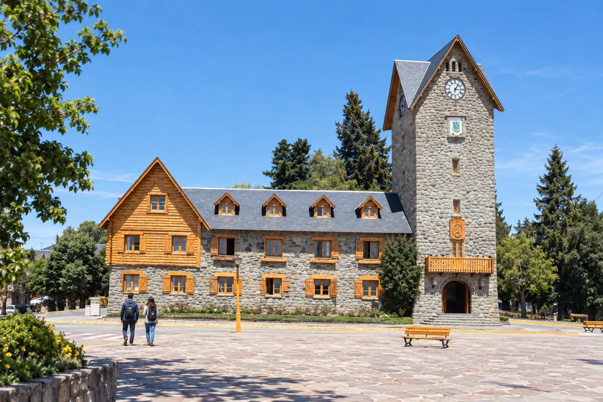
Bariloche offers urban walks and excursions through the lakes and mountains. The Centro Cívico runs along the shore of the Nahuel Huapi, and excursions go to the Circuito Chico, Cerro Catedral, Cerro Otto and Isla Victoria. Puerto Pañuelo is one of the departure points for exploring the arms of the lake and the national park scenery.
The Andean region retains the Mapuche presence and traces of the migrations that formed its settlements. Colonia Suiza preserves that history in its architecture and in the preparation of the curanto, in which meats and vegetables are cooked in a pit heated by stones. In Bariloche, chocolate led to factories, shops and a festival associated with Easter.
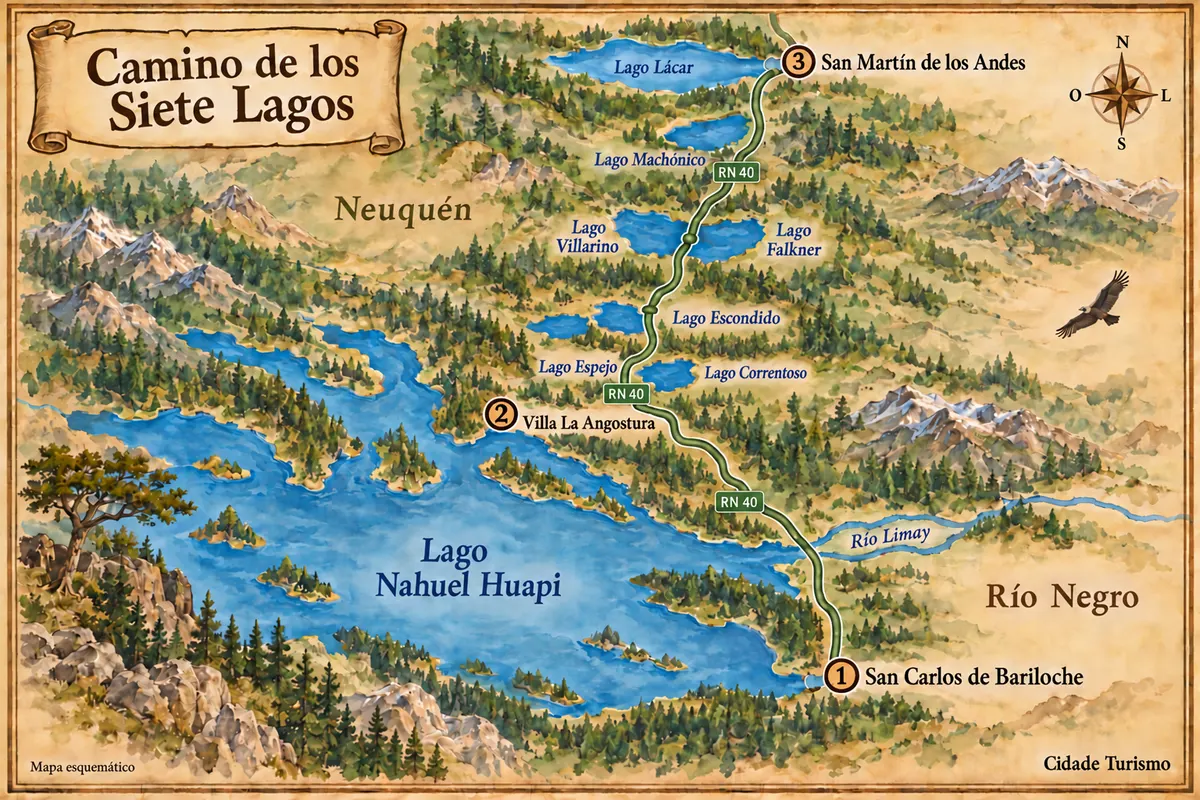
Trout, Patagonian lamb and desserts made from red berries feature on the mountain menus. Pinot Noir and other grape wines also come from the valley's cultivation areas. Bariloche serves as a base for multi-day trips; following the Camino de los Siete Lagos leads to Villa La Angostura and San Martín de los Andes, already in neighboring Neuquén.
Destinations
Cities
Routes
From December to March, the longer days usually favor hikes and lake visits in the mountain range, with cool nights. July to September concentrates the ski season at Cerro Catedral, depending on snow; in downtown Bariloche, coverage can be brief. The Andean strip receives more precipitation than the steppe and the coast, where wind is frequent. January and February concentrate beach visits. The Fiesta Nacional del Chocolate coincides with Holy Week, in March or April.
For Bariloche, use Teniente Luis Candelaria International Airport, in the city of San Carlos de Bariloche. In some seasons there are direct flights from Brazil; for the rest of the year, the connection is via Buenos Aires. Confirm before buying. RN 40 connects the Andean region to Neuquén and southern Patagonia; RN 237 reaches it through the Limay valley. RN 22 crosses the Alto Valle, and RN 3 serves the coast and Viedma, which are some distance from Bariloche.
Your questions
Yes. Bariloche is located in the western part of Río Negro, beside the Nahuel Huapi. Villa La Angostura and San Martín de los Andes, which can be included in the same lakes itinerary, belong to Neuquén.
Five to seven days allow time for the Circuito Chico, a boat trip, the surrounding mountains and the town center. Those planning to ski for several days or to do long hikes should add extra time for those activities.
The ski season usually falls between July and September, depending on mountain conditions. The town is at a lower altitude: traveling then does not mean its streets will be covered in snow.
There are excursions and transport to different points of the circuit and to the boarding points. A car increases the freedom to stop, but the navigation requires a boat trip; confirm the port and the transfer when choosing the departure.