El Calafate and El Chaltén

Santa Cruz · Argentina

El Calafate and El Chaltén

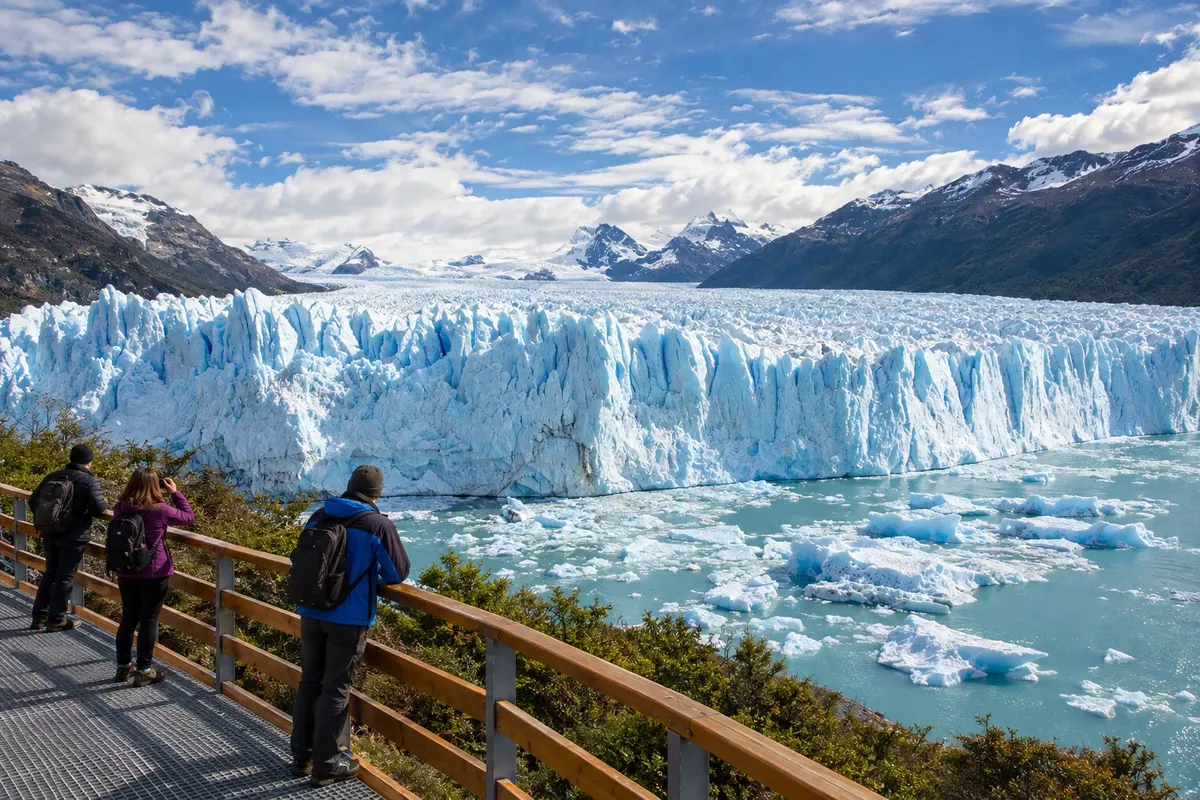
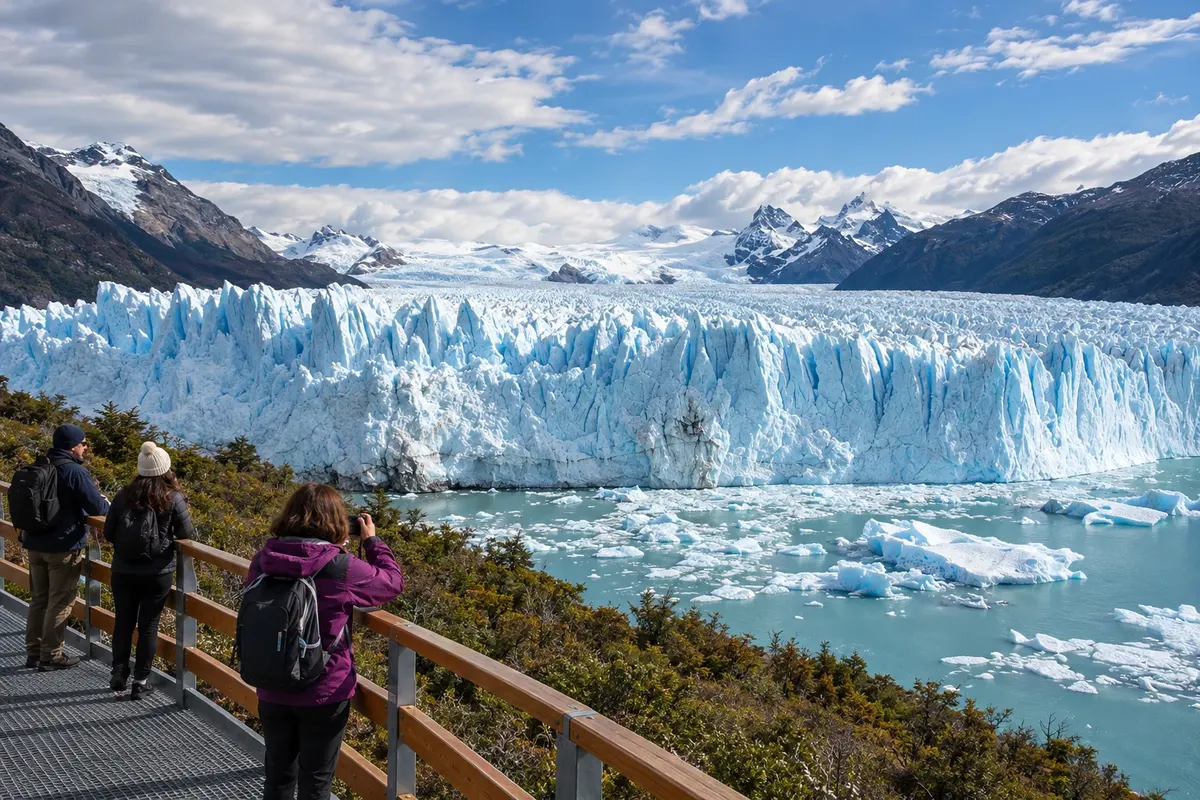
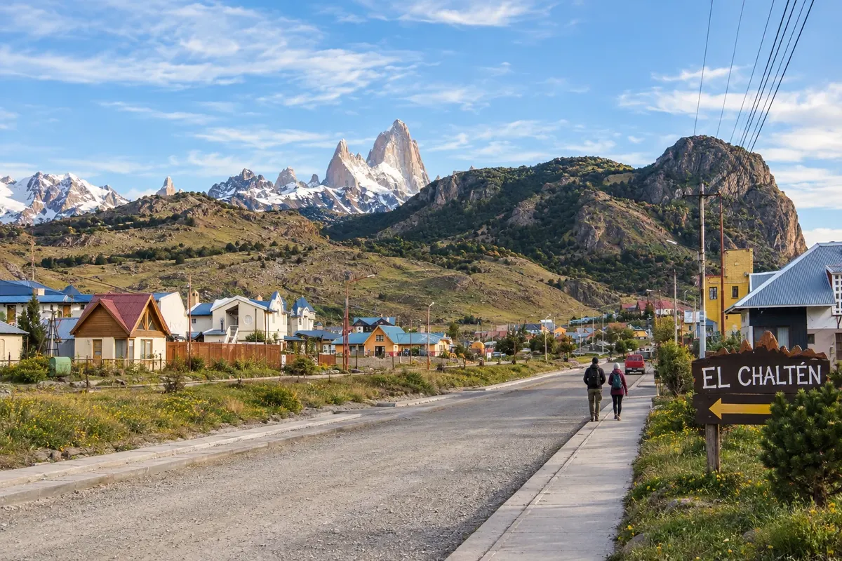
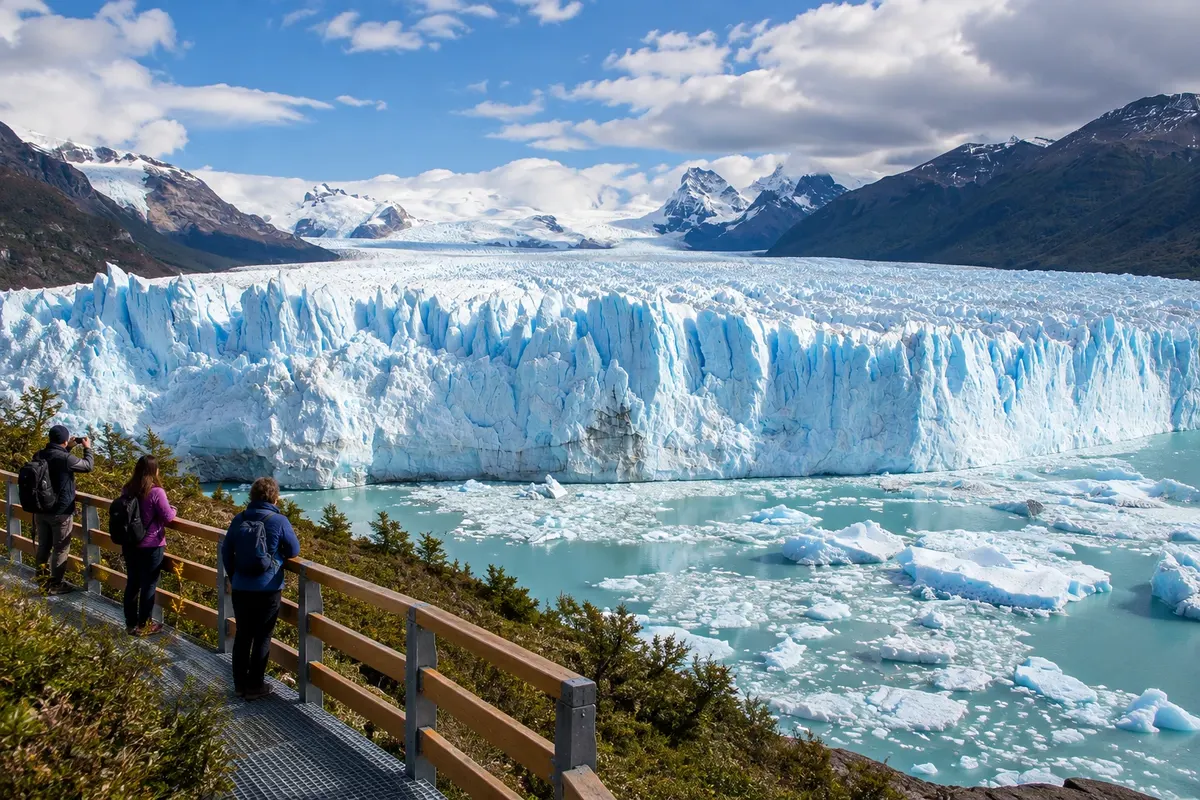
Boardwalks in front of the Perito Moreno and trails among the valleys of Fitz Roy and Cerro Torre.

Patagônia

In the photo: Perito Moreno Glacier

Illustrative images. The pictures in this guide are illustrations based on the real place, not photographs, and may differ from it.

Get it on Google Play Send your photos

Get to know the place

A region to enjoy
at your own pace.

El Calafate and El Chaltén are visiting bases for different sectors of Los Glaciares National Park. In the south, El Calafate lies on the shore of Lago Argentino and hosts the airport. The boardwalks at Perito Moreno Glacier, the Laguna Nimez Reserve, the Glaciarium and Lago Roca offer outings with different rhythms.

In the north, El Chaltén sits beside the Fitz Roy and de las Vueltas rivers. The town center provides access to hikes that reach Laguna de los Tres and Laguna Torre. Chorrillo del Salto and Mirador de los Cóndores offer shorter alternatives to distribute effort during the stay.

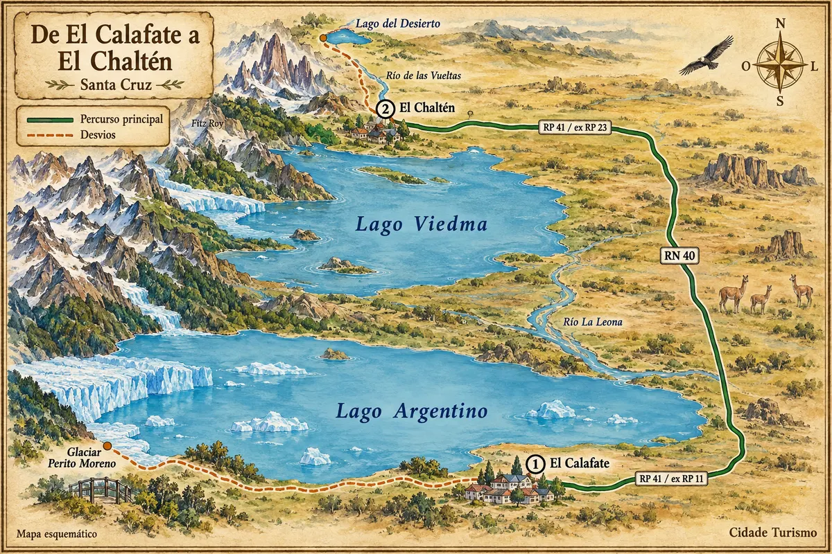
The road connection between the towns is roughly 220 km. Staying in both bases reduces repeated travel and allows reserving full days for mountain trails.

Between November and March days tend to be longer. The mountains can be covered by clouds, and wind is part of trip preparation. Perito Moreno can be viewed from the viewpoints without the visit depending on ice calving; in El Chaltén, the trail should match the hiker's experience and available time.

This destination brings together 2 cities: El Calafate, El Chaltén.

Share: WhatsApp
Traveler, share your experiences through photos Up to 5 photos of each place you visited.

One destination, many paths

The cities on this trip

Start with one city or combine several in your itinerary.

Where El Calafate and El Chaltén is
El CalafateEl Chaltén

Fuente: Instituto Geográfico Nacional de la República Argentina (IGN), contornos de 2019. Adaptação do Cidade Turismo.

How to get there: El Calafate and El Chaltén

✈ Aeropuerto Internacional Comandante Armando Tola (FTE) · 20 km to El Calafate

It's about 20 km to the town center. For El Chaltén, travel by road roughly 220 km from El Calafate; confirm the bus or transfer before arrival.

Suggested arrival point: El Calafate

The local experience

Things to do in El Calafate and El Chaltén

Glaciar Perito Moreno
El Calafate · Santa Cruz · Glacier

Glaciar Perito Moreno

Ice front of the Southern Patagonian Ice Field, viewed from walkways and viewpoints in Los Glaciares National Park.

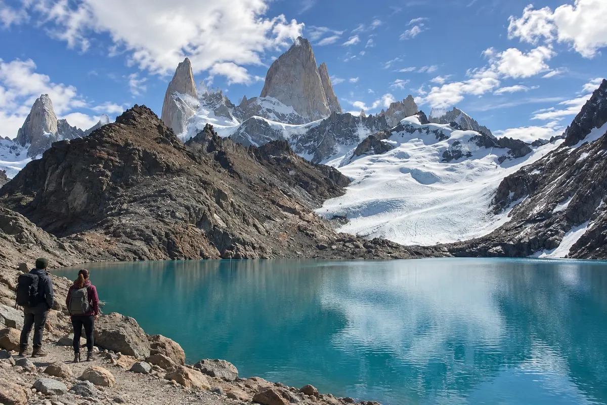
Laguna de los Tres
El Chaltén · Santa Cruz · Trail

Laguna de los Tres

Mountain hike to a glacial lake near the Fitz Roy massif, with a steeper climb in the final section.

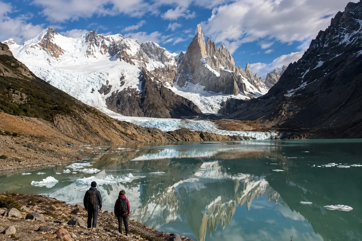
Laguna Torre
El Chaltén · Santa Cruz · Trail

Laguna Torre

Route through the valley of the río Fitz Roy to the lake in front of the Cerro Torre glacial system.

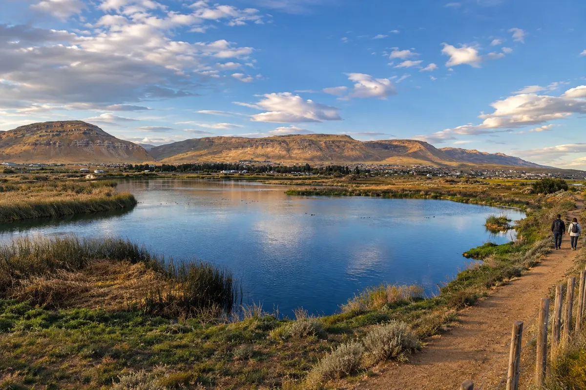
Reserva Laguna Nimez
El Calafate · Santa Cruz · Nature reserve

Reserva Laguna Nimez

A municipal wetland area by Lago Argentino, with an interpretive trail and birdwatching viewpoints near the town center.

See 5 more places in El Calafate and El Chaltén
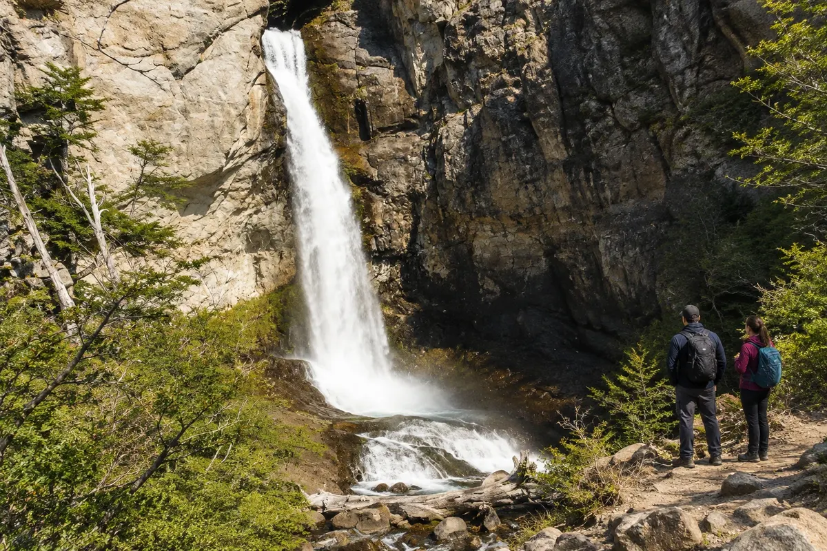
Chorrillo del Salto
El Chaltén · Santa Cruz · Waterfall

Chorrillo del Salto

Waterfall surrounded by forest near El Chaltén, with a final approach on foot and the possibility of driving close by.

Glaciarium
El Calafate · Santa Cruz · Museum

Glaciarium

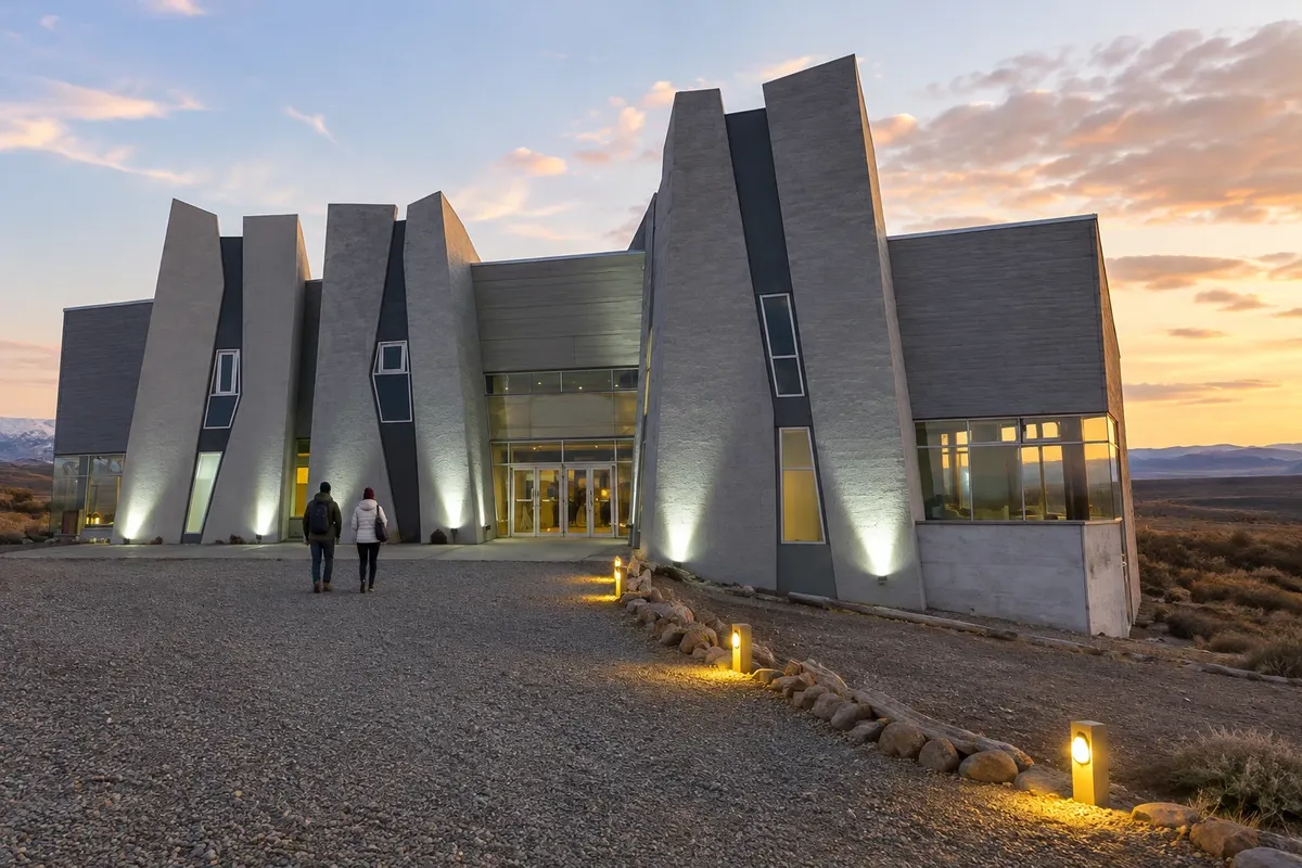
Interpretive center dedicated to ice and Patagonian glaciers, located near Lago Argentino.

Lago Roca
El Calafate · Santa Cruz · Lake

Lago Roca

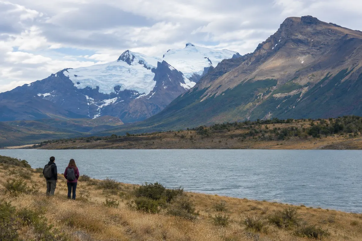
A lake in the southern sector of Los Glaciares, where lenga and ñire forest meets the steppe landscape.

Mirador de los Cóndores
El Chaltén · Santa Cruz · Observation deck

Mirador de los Cóndores

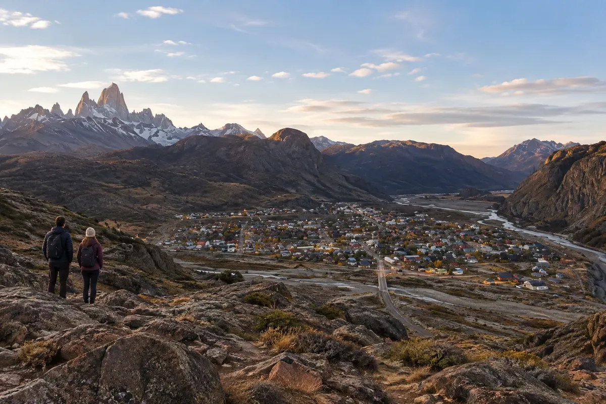
Short climb near the entrance to El Chaltén, with views over the town, the valleys, and the mountain massifs.

Navegación a los glaciares Upsala y Spegazzini
El Calafate · Santa Cruz · Boat tour

Navegación a los glaciares Upsala y Spegazzini

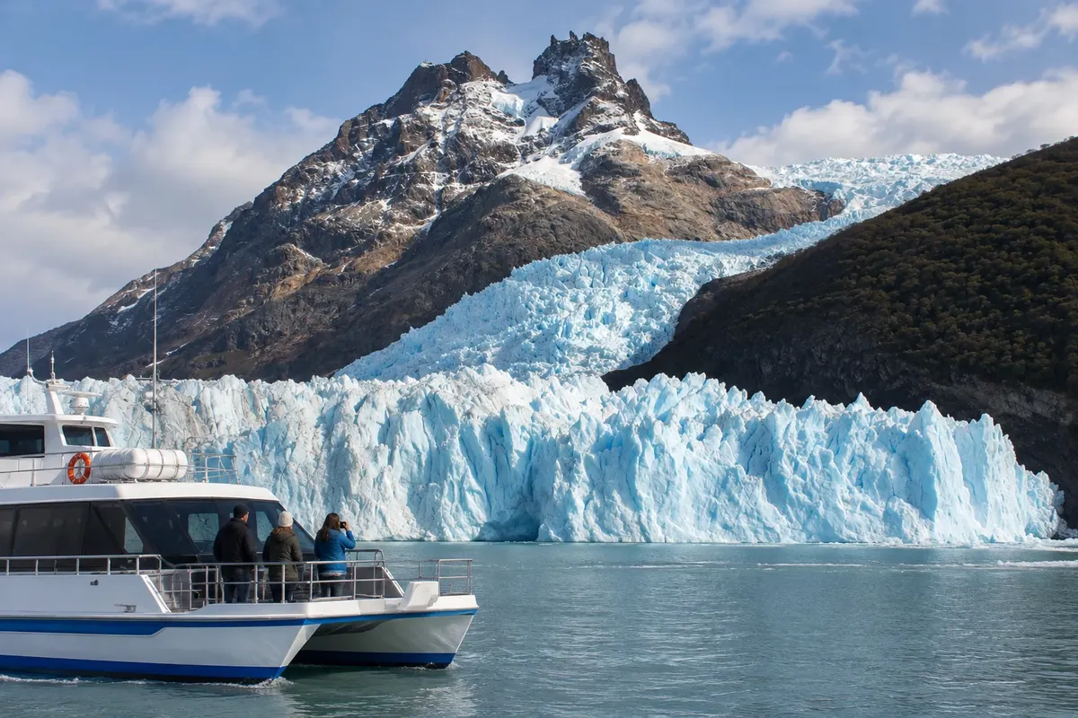
Boat route along the Brazo Norte of Lago Argentino, with sections through the Upsala and Spegazzini channels. Embarkation takes place at Puerto Punta Bandera, outside El Calafate.

Before you go

Practical information

A little planning leaves more time to enjoy the journey.

When to go

From November to March there is usually more daylight for hiking and travel. October and April have shorter days and variable conditions. From May to September, snow and ice can alter routes in El Chaltén; check access before setting out.

The seasons shown are the most usual ones; nature doesn't always follow the calendar.

How many days to stay

Allow six to eight days: two or three in El Calafate and three or four in El Chaltén, plus time for flight arrangements. Spread long hikes over different days and leave a margin to reschedule them according to the weather.

Which city to stay in

In El Calafate, Avenida del Libertador and the nearby streets make meals and services easy; the costanera brings lodging closer to the lake. In El Chaltén, the town center serves those who want to walk around, and the axis of Avenida San Martín makes access to the start of some trails easier.

Respect the place

Take your trash with you, follow the signs and support local businesses. In natural areas, follow the visiting guidelines.

Get your questions answered

Frequently asked questions about El Calafate and El Chaltén

How many days should be distributed between the two towns?

Six to eight days leave room for the glacier, activities near El Calafate and a few days of hiking in El Chaltén, without scheduling two long hikes on the same day.

What period favors the trails in El Chaltén?

Between November and March there are usually more hours of daylight. Even in that period, the route depends on wind, precipitation and ground conditions.

Is it necessary to have a car for this destination?

Not necessarily. There is transport between the towns and transfer options to the glacier. In El Chaltén, several trails start close to the urban area; check services before you go.

Routes in Argentina

El Calafate and El Chaltén is on the From El Calafate to El Chaltén

Between Lago Argentino and Lago Viedma, RN 40 links the steppe to the access roads to El Calafate and El Chaltén.

Illustrative map, not to scale. Tap a city to open its page.
Illustrated map of From El Calafate to El Chaltén
Explore the From El Calafate to El Chaltén
Explore other destinations Search by state and city
Back