Ísafjörður
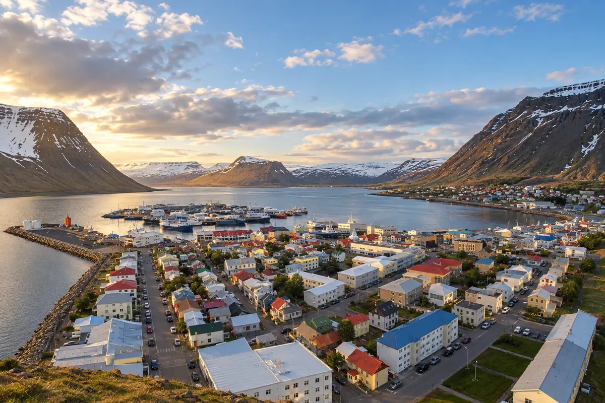
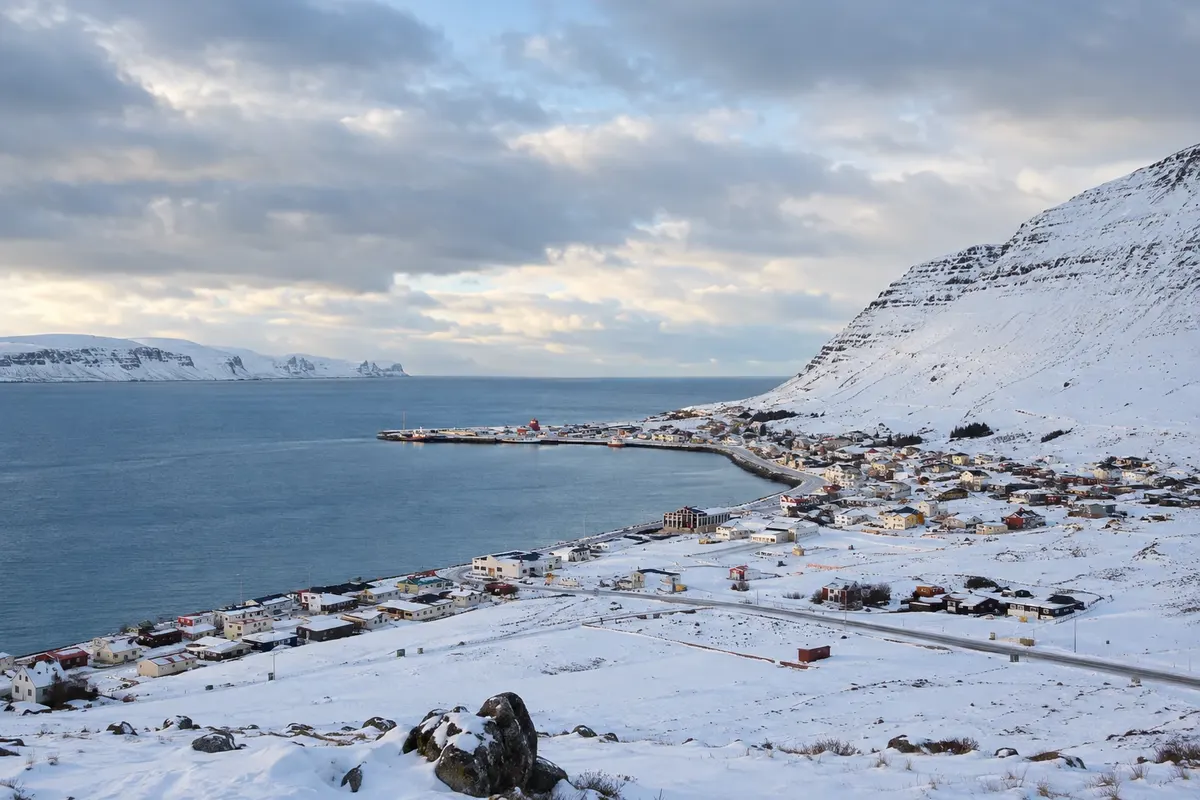
Ísafjörður concentrates services in a narrow settled area of the Westfjords. The regional museum presents the maritime memory; Dynjandi requires a road circuit and Hornstrandir a separately organized boat trip.
Fiordes do Oeste · Iceland
Jagged coastline, waterfalls on slopes, cliffs and a marine-access nature reserve in northwest Iceland.
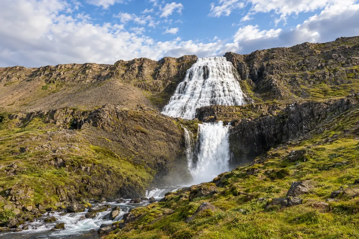
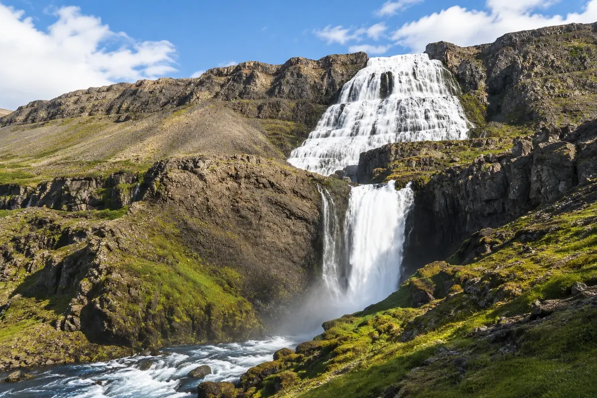
In the photo: Dynjandi
Illustrative images. The pictures in this guide are illustrations based on the real place, not photographs, and may differ from it.
Get to know the place
The Westfjords lie off the direct Ring Road (Route 1) and require dedicated days. Ísafjörður organizes the northern sector, with urban services and boat departures. Patreksfjörður brings you closer to the cliffs and beaches of the southern sector, on roads that track the coastline.
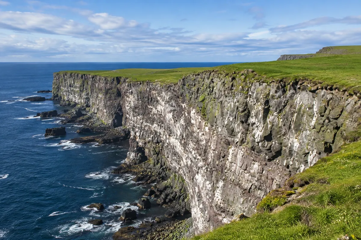
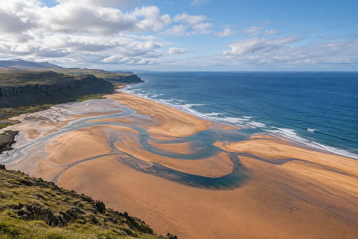
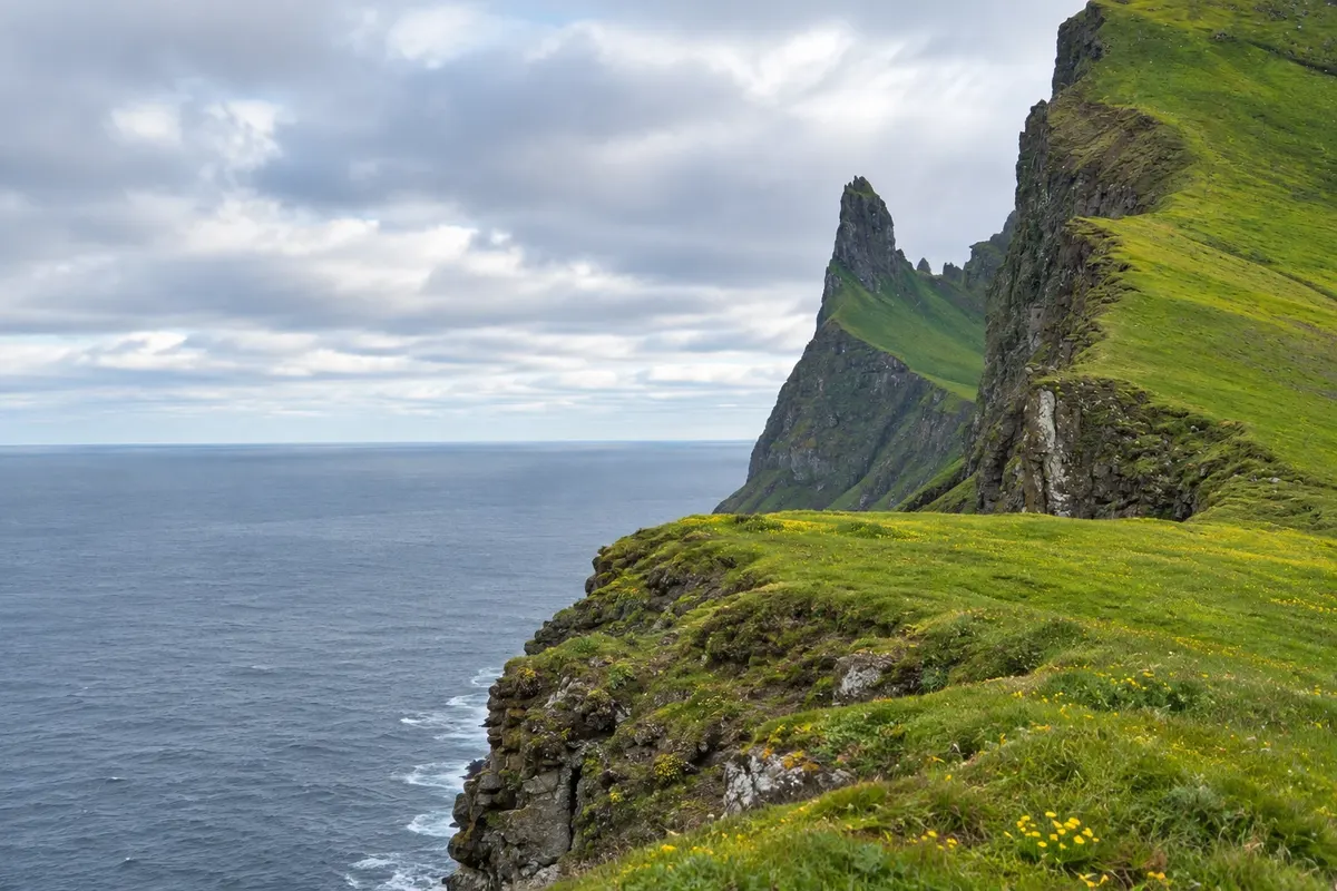
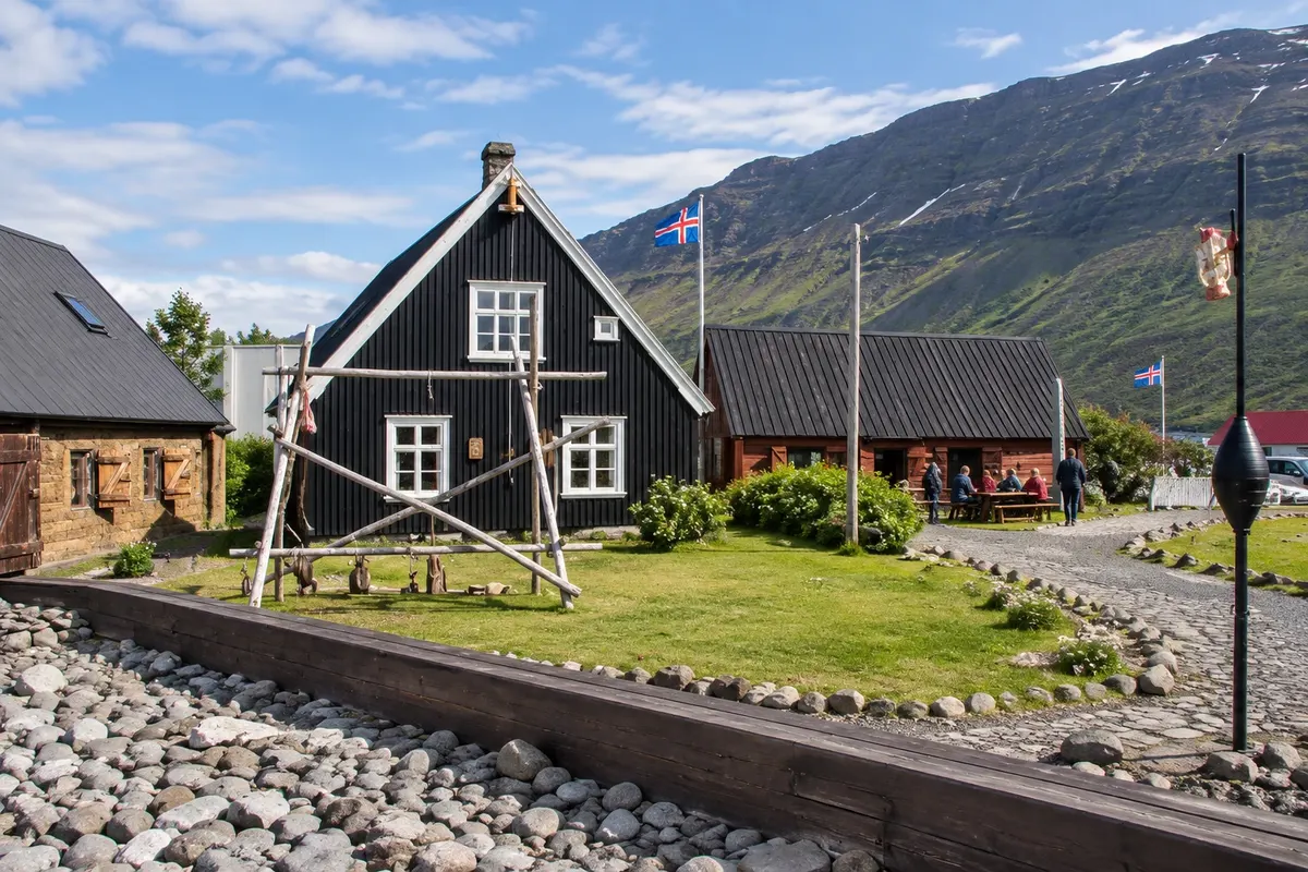
Dynjandi features a waterfall that widens down the slope, above smaller cascades. Látrabjarg has cliffs facing the Atlantic; Rauðisandur adds a beach with a different hue from the black sands. Ísafjörður’s museum helps explain the maritime occupation, and Hornstrandir requires boat logistics and hiking.
Straight-line distances do not reflect travel times between fjords. Divide nights among bases and plan meals before heading into rural areas.
This destination brings together 2 cities: Ísafjörður, Patreksfjörður.
One destination, many paths
Start with one city or combine several in your itinerary.
Contornos: National Land Survey of Iceland, via geoBoundaries (CC BY 4.0). Adaptação do Cidade Turismo.
Confirm before booking. There is a domestic flight to Ísafjörður; regional circuits continue by road and, on some routes, by ferry.
Suggested arrival point: Ísafjörður
Ísafjörður concentrates services in a narrow settled area of the Westfjords. The regional museum presents the maritime memory; Dynjandi requires a road circuit and Hornstrandir a separately organized boat trip.
Patreksfjörður serves as a base in the southern Westfjords. Látrabjarg and Rauðisandur are on different detours, with local roads that demand more time than the distances suggest.
The local experience
Regional museum in historic waterside buildings, preserving the memory of fishing and the fjord communities.
Basalt cliffs at the western extreme, with viewing paths over the Atlantic and sea birds.
A fall that widens over a rock face, above a sequence of cascades in Arnarfjörður.
Extensive beach with ochre and reddish tones, in contrast to the dark beaches of other regions.
Remote peninsula with valleys, cliffs, and trails, reached by seasonal boat transport.
Before you go
A little planning leaves more time to enjoy the journey.
June to August generally concentrates the wider operation of roads and tourist boats. Between December and February, cold and limited daylight call for a different itinerary scale.
The seasons shown are the most usual ones; nature doesn't always follow the calendar.
Five to seven days allow splitting the northern and southern sectors. Add time if you choose crossings or overnight stays in Hornstrandir.
Ísafjörður favors the northern sector and boat departures. Patreksfjörður serves the cliffs and southern beach. Choosing a single base for everything tends to increase road returns.
Take your trash with you, follow the signs and support local businesses. In natural areas, follow the visiting guidelines.
Get your questions answered
The route requires a detour from Route 1 and dedicated days for the rugged coast.
Ísafjörður and Patreksfjörður serve different sectors; splitting nights reduces backtracking.
The reserve is reached by boat, with hiking and return planned.
The birds vary by month; the cliffs and the Atlantic support a visit for the landscape as well.