

 Brazil
 Argentina
 Bolivia
 Chile
 Colombia
 Ecuador
 Guyana
 French Guiana
 Falkland Islands (Malvinas)
 Paraguay
 Peru
 Suriname
 Uruguay
 Venezuela
 Germany
 Austria
 Belgium
 Croatia
 Denmark
 Spain
 Finland
 France
 Greece
 the Netherlands
 Hungary
 Ireland
 Italy
 Luxembourg
 Norway
 Poland
 Portugal
 the United Kingdom
 the Czech Republic
 Sweden
 Switzerland
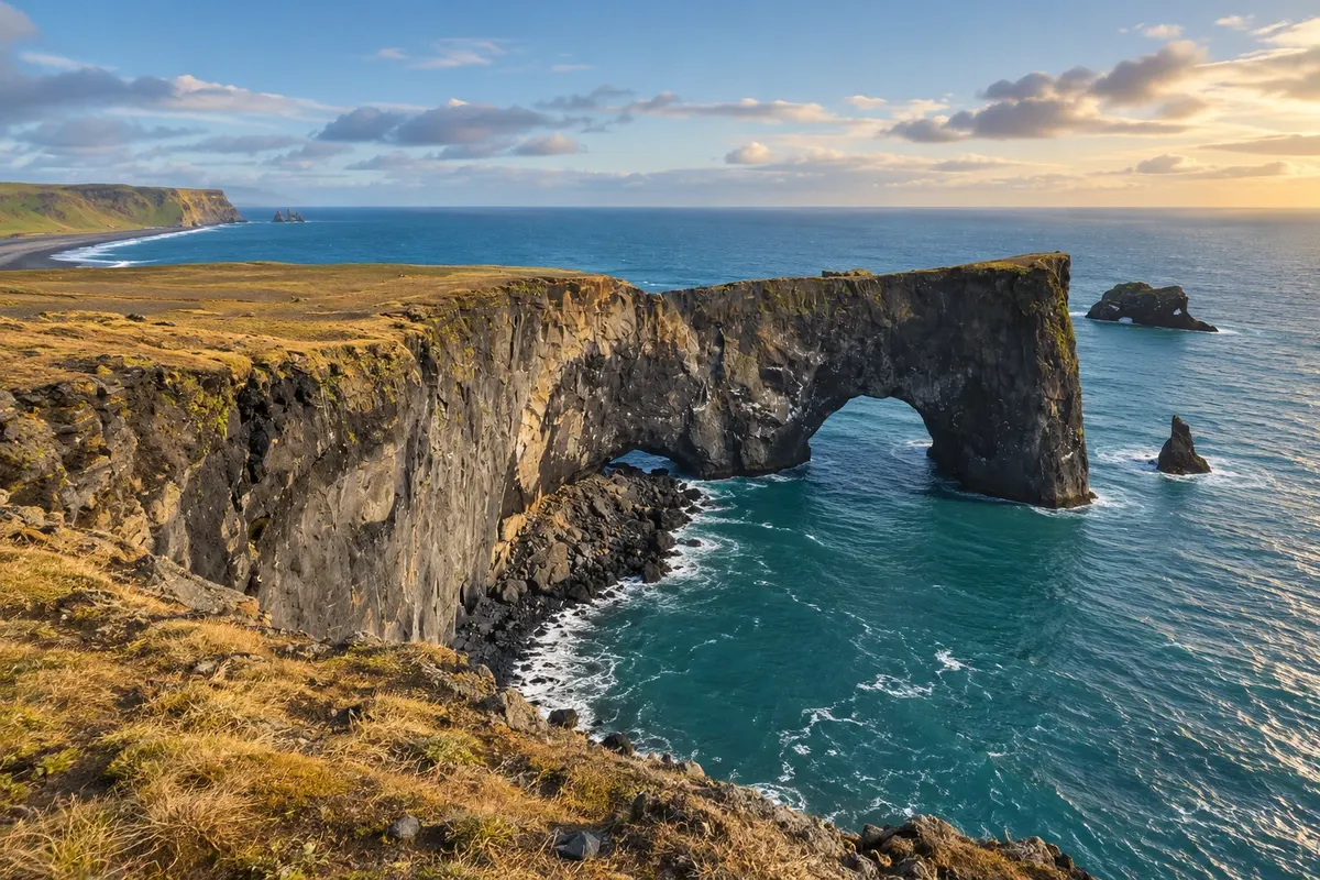
Promontory · Vík, Sul
Dyrhólaey
Promontory with a natural arch, cliffs and panoramas of the South Coast beaches.
Illustrative images. The pictures in this guide are illustrations based on the real place, not photographs, and may differ from it.

Discover
About Dyrhólaey
Dyrhólaey juts out along the coast west of Vík. The rock forms a natural arch cut by the sea, while the higher areas offer views of the beaches and coastal plains. The place name is associated with that rock passage.
There are observation points at different levels, so it is advisable to distinguish the arrival sector from the upper trails. From May to August, birds commonly use parts of the cliffs for breeding; access can have seasonal protection rules. The landscape remains the focus of the visit regardless of sightings.
The promontory requires its own detour from Route 1 and is not reached by the same road as Reynisfjara. Choose the sector to visit according to the available roads and paths. With enough daylight, the two stops can be combined in the same day around Vík.
Before you go
Practical information
Cidade Turismo reviews its information regularly, but something may have changed. Check with the place before planning your trip.
How much time to set aside
One to two hours, depending on which sectors are accessible.
Best time
With daylight time for the promontory; check seasonal trail restrictions.
How to get there
Via road 218, a detour from Route 1; check access to the upper sector.
Tip
Consult seasonal rules before choosing which promontory viewpoints to visit.
Official website
Get your questions answered
Frequently asked questions about Dyrhólaey
How much time to allow for Dyrhólaey?
One to two hours, depending on which sectors are accessible.
How to organise access to Dyrhólaey?
Via Road 218, a detour off Route 1; check access to the upper sector.
What to consider when visiting Dyrhólaey?
Check seasonal rules before choosing viewpoints on the promontory.