

 Brazil
 Argentina
 Bolivia
 Chile
 Colombia
 Ecuador
 Guyana
 French Guiana
 Falkland Islands (Malvinas)
 Paraguay
 Peru
 Suriname
 Uruguay
 Venezuela
 Germany
 Belgium
 Croatia
 Denmark
 Spain
 Finland
 France
 Greece
 the Netherlands
 Hungary
 Ireland
 Iceland
 Italy
 Luxembourg
 Norway
 Poland
 Portugal
 the United Kingdom
 the Czech Republic
 Sweden
 Switzerland
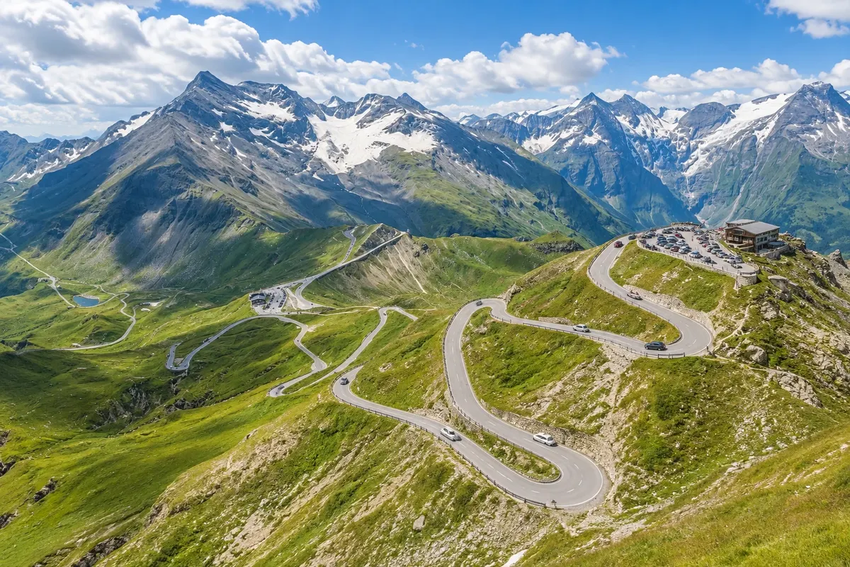
Panoramic road · Zell am See, Salzburgo
Großglockner Hochalpenstraße
The Grossglockner alpine road crosses the Hohe Tauern landscape between the Fusch side and Carinthia. Turns and viewpoints accompany the climb above the valley.
Illustrative images. The pictures in this guide are illustrations based on the real place, not photographs, and may differ from it.

Discover
About Großglockner Hochalpenstraße
The Grossglockner alpine road crosses the Hohe Tauern landscape between the Fusch side and Carinthia. Turns and viewpoints accompany the climb above the valley.
The route lets you observe changes in vegetation and the relationship between road, mountains and glaciers. The Kaiser-Franz-Josefs-Höhe branch is one of the visitor sectors. It is not a simple quick connection: stops and the terrain are part of the experience.
The season typically runs from May to November, with openings and sections subject to weather. To depart from Zell am See and return the same day, allow a full day. The scenery seen from viewpoints varies with clouds and fog; confirm conditions directly with the operator before setting out.
Before you go
Practical information
Cidade Turismo reviews its information regularly, but something may have changed. Check with the place before planning your trip.
How much time to set aside
One day to drive the road with stops.
Best time
Check the road opening status and which branches are operating before beginning the ascent.
How to get there
From Zell am See, follow via Bruck toward Fusch and the Ferleiten entrance; excursion transport depends on reservation and schedule.
Tip
Check the road opening status and which branches are operating before beginning the ascent.
Official website
Get your questions answered
Frequently asked questions about Großglockner Hochalpenstraße
What is visited on the Großglockner Hochalpenstraße?
The route allows observation of vegetation changes and the relationship between road, mountains and glaciers. The branch to Kaiser-Franz-Josefs-Höhe is one of the visitor sectors. It is not a simple quick connection: stops and the terrain are part of the experience.
How much time to allow for the Großglockner Hochalpenstraße?
One day to drive the road with stops.
How to arrange a visit to Großglockner Hochalpenstraße?
From Zell am See, follow via Bruck toward Fusch and the Ferleiten entrance; tour transport depends on bookings and schedule. Check road opening and which branches are operating before starting the ascent.