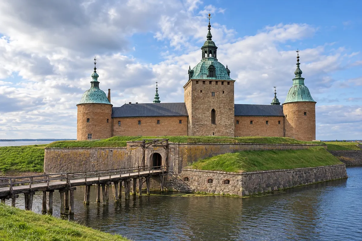
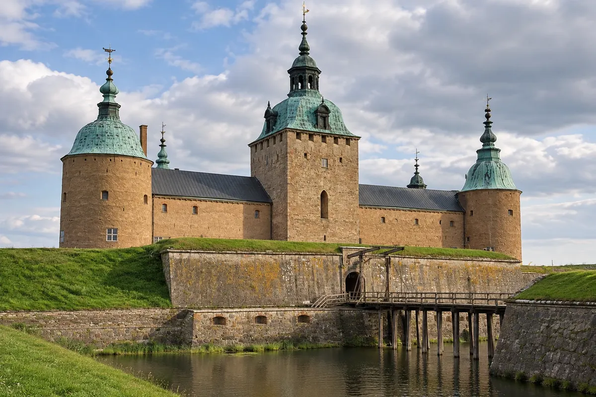
Kalmar lies on Sweden’s southeast coast, in the province of Småland, facing the Kalmarsund strait. For centuries it was the border town with Denmark, which dominated the south of the country, and for that reason it has a large seaside defensive castle. In 1397 the castle was the site of the signing of the Union of Kalmar, which joined the kingdoms of Denmark, Norway and Sweden under a single sovereign for more than a century.
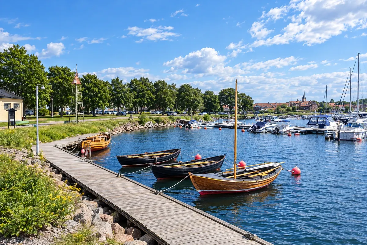
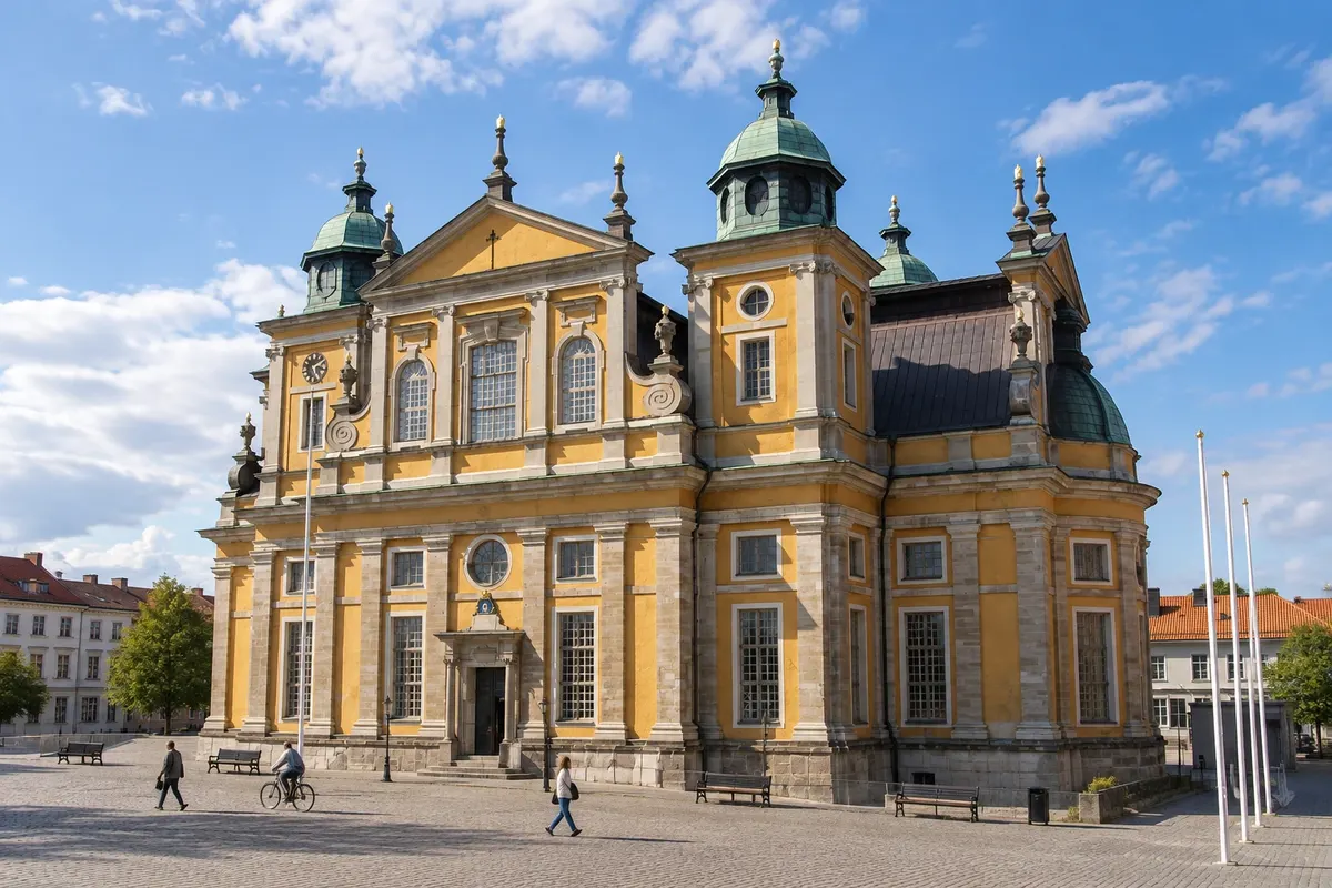
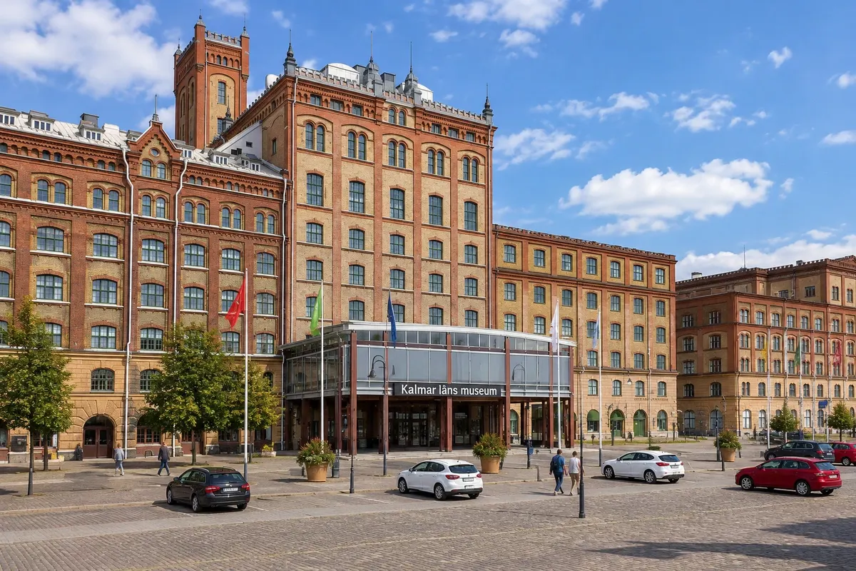
The castle, surrounded by walls and water, acquired its present Renaissance form under the Vasa kings in the 16th century. The old town was moved in the 17th century to the island of Kvarnholmen nearby, with a grid of streets and a Baroque cathedral designed by Nicodemus Tessin the Elder, the same architect as Drottningholm Palace. The Kalmar läns museum displays finds from the warship Kronan, which sank in 1676 off Öland. The city is small and walkable, with the castle park, the Kalmarsund beach and the harbor.
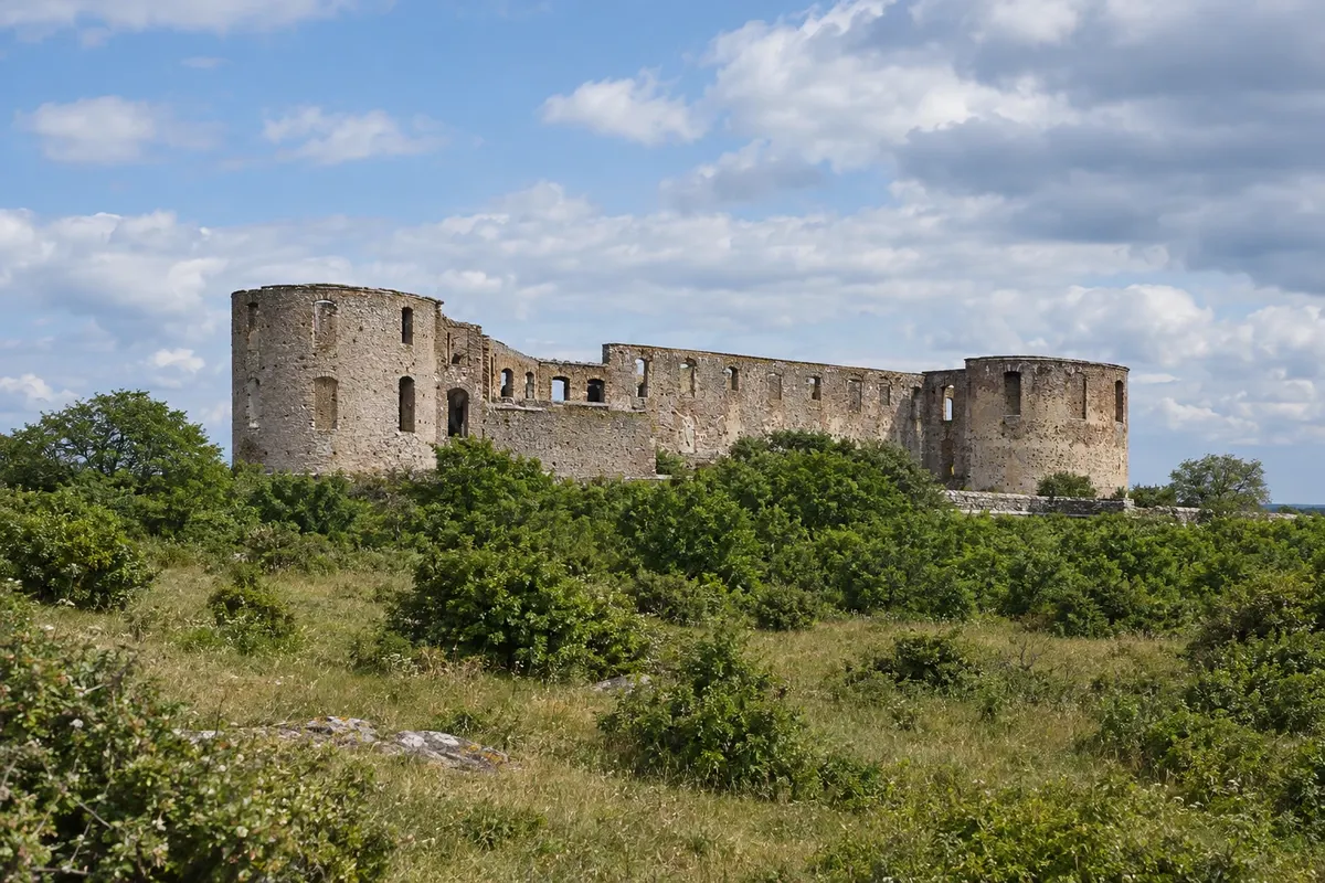
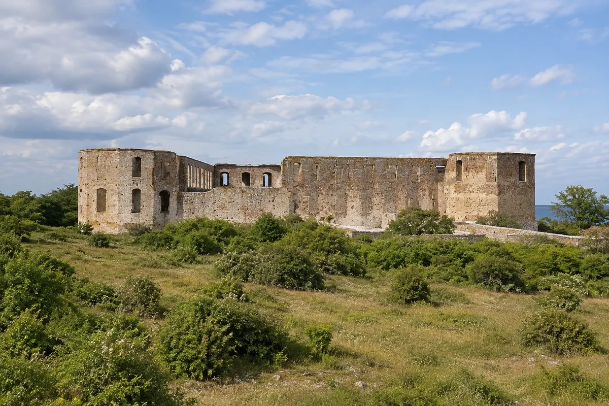
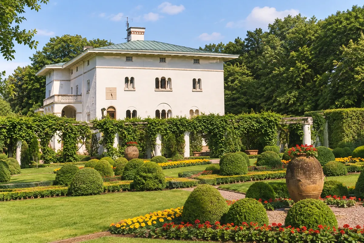
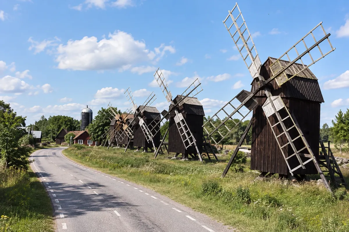
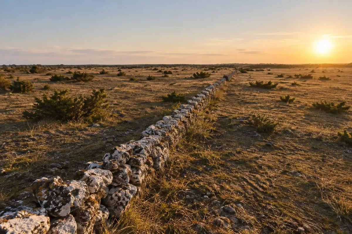
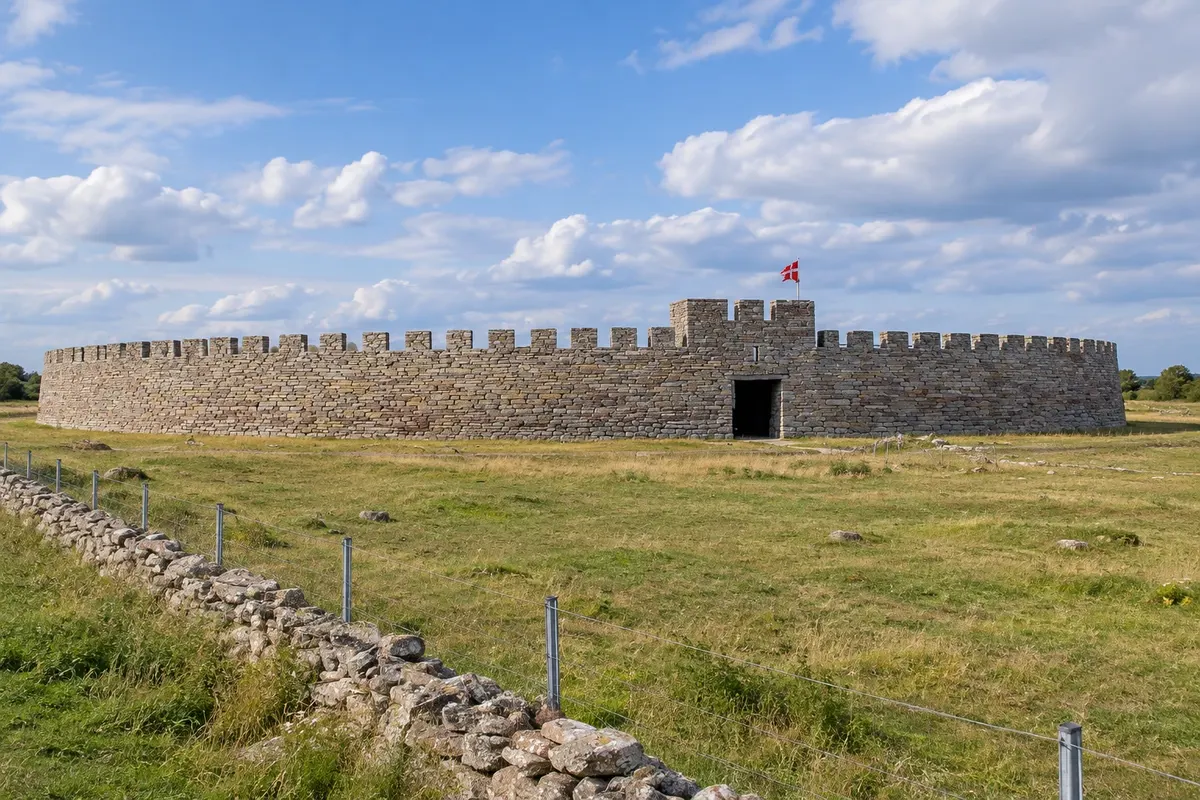
On the other side of the 6 km bridge is Öland, Sweden’s second-largest island, long and narrow. The island has its own landscape: the Stora Alvaret, a limestone plain almost without trees in the south, where orchids grow and cows and sheep graze; villages aligned along a single road with stone walls; and hundreds of wooden windmills. The agricultural landscape of southern Öland has been a UNESCO World Heritage Site since 2000. In the north, Borgholm, the island’s main town, has the ruin of a Baroque castle and nearby Solliden, the royal family’s summer residence, with gardens open to visitors.
This destination brings together 2 cities: Kalmar, Borgholm.

 Brazil
 Argentina
 Bolivia
 Chile
Chile Colombia
 Ecuador
 Guyana
 French Guiana
 Falkland Islands (Malvinas)
 Paraguay
 Peru
Peru Suriname
 Uruguay
 Venezuela
 Germany
 Belgium
 Denmark
 Spain
Spain France
 Greece
 the Netherlands
 Ireland
 Italy
Italy Luxembourg
 Norway
 Portugal
 the United Kingdom
 Switzerland