
 Brazil
 Argentina
 Bolivia
 Chile
Chile Colombia
 Ecuador
 Guyana
 French Guiana
 Falkland Islands (Malvinas)
 Paraguay
 Peru
Peru Suriname
 Uruguay
 Venezuela
 Germany
 Belgium
 Denmark
 Spain
Spain France
 Greece
 the Netherlands
 Ireland
 Italy
Italy Luxembourg
 Portugal
 the United Kingdom
 Sweden
 Switzerland
Railway
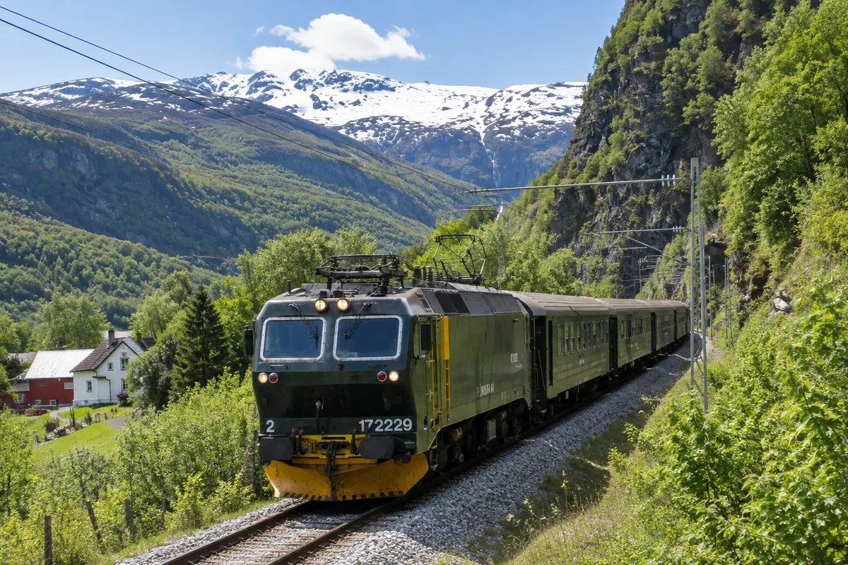
Flåmsbana
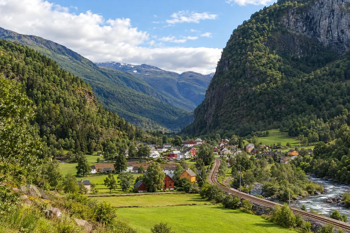
The railway that descends from Myrdal, at 866 meters, down to Flåm at fjord level in about an hour: 20 km of tunnels, curves and waterfalls, with a stop at Kjosfossen waterfall.
Vestland · Norway
In the destination Flåm and the Sognefjord.
In the photo: Flåm
Illustrative images. The pictures in this guide are illustrations based on the real place, not photographs, and may differ from it.
The city
Flåm is a village at the head of the Aurlandsfjord, an arm of the Sognefjord, where the Flåmsbana ends after descending from Myrdal through the mountains. Boats depart from the quay for the Nærøyfjord, a World Heritage site. Flåm is the base for the Stegastein viewpoint, the Aurlandsfjellet road and the medieval wooden churches of Borgund and Urnes.
There's no accommodation in the guide yet in Flåm.
how to get there · how many days · itinerary · questions
The local experience
The railway that descends from Myrdal, at 866 meters, down to Flåm at fjord level in about an hour: 20 km of tunnels, curves and waterfalls, with a stop at Kjosfossen waterfall.
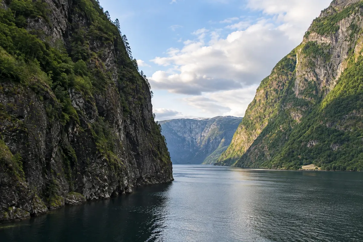
The narrow arm of the Sognefjord between the Aurlandsfjord and Gudvangen: 17 km of water between rock walls up to 1,700 meters high, waterfalls and small villages. UNESCO World Heritage Site.
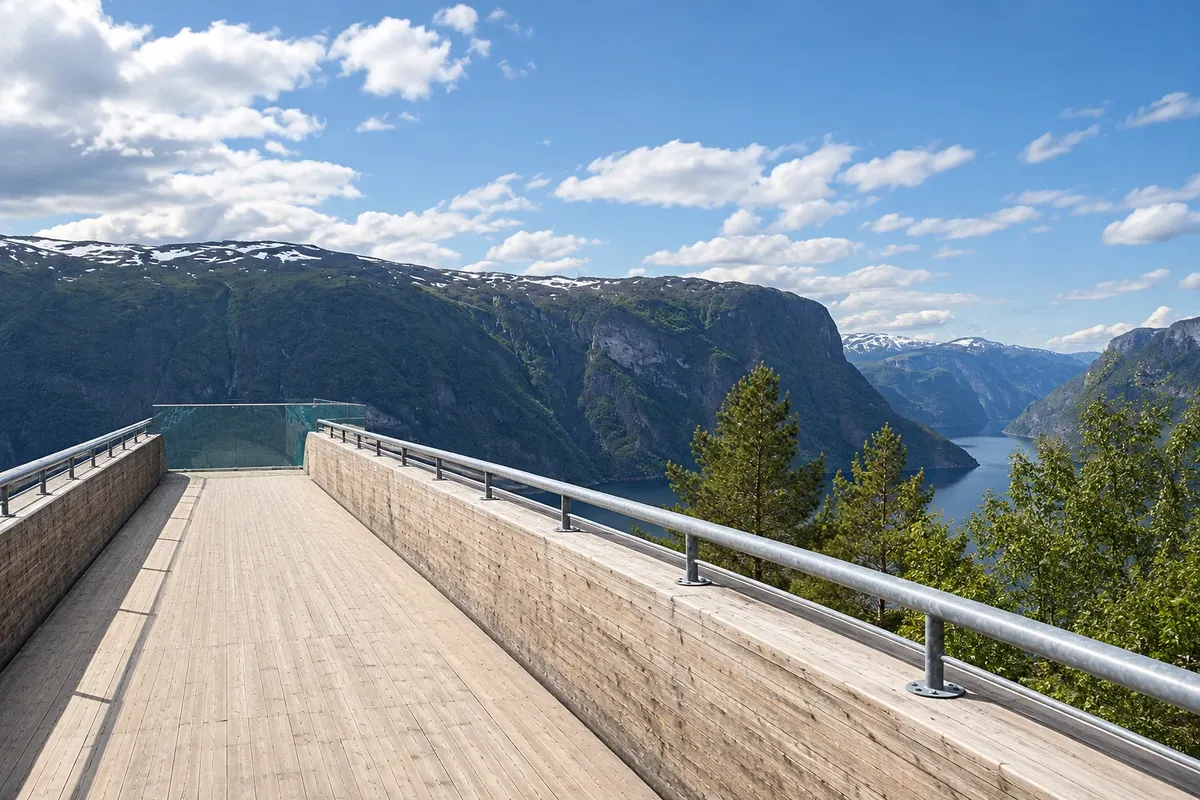
A wooden-and-steel platform that extends 30 meters over the Aurlandsfjord, at 650 meters altitude, on the mountain road rising from Aurland, with views of the fjord as far as Flåm.
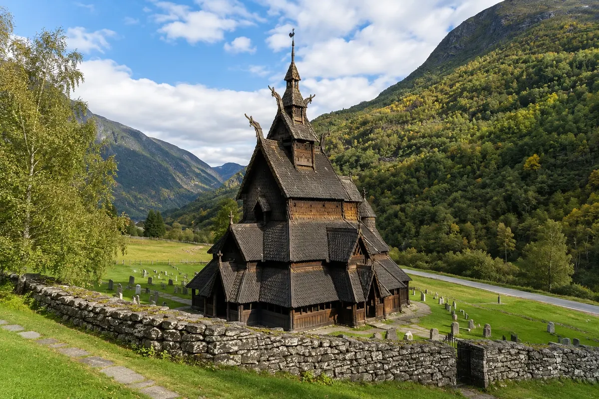
The medieval wooden church in the Lærdal valley, built around 1180 and preserved almost as it was: layered roofs, dragon heads and the outer gallery. There is a visitor centre next to it.
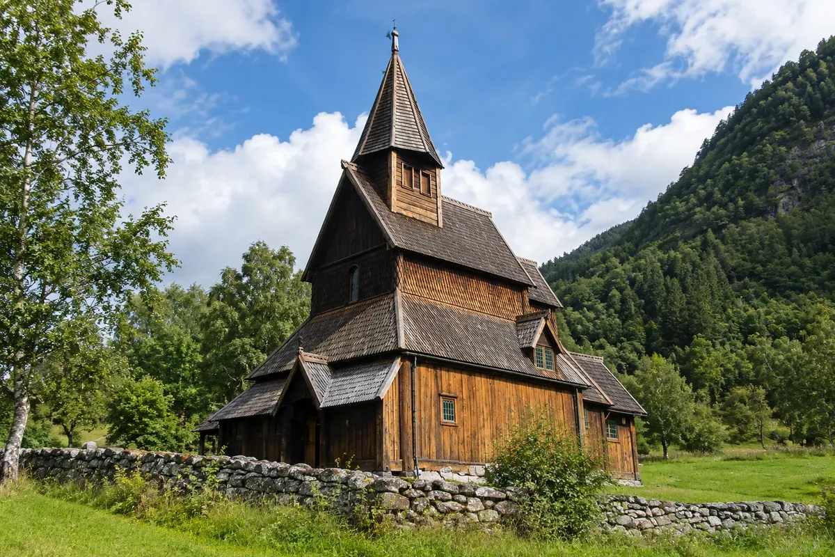
Norway's oldest wooden church, from the 12th century, on a promontory above the Lustrafjord, with a portal carved with interlaced animals in Viking style. A UNESCO World Heritage Site.