Paramaribo and the Suriname River

Paramaribo · Suriname

Paramaribo and the Suriname River

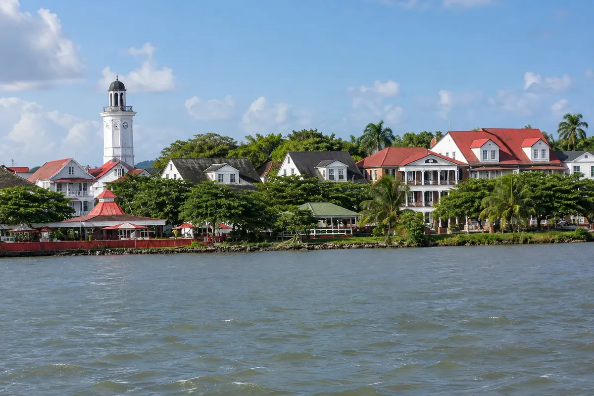
The capital of Suriname on the riverbank: the wooden historic centre, the mosque and the synagogue side by side, Forte Zeelandia and, on the other side of the river, the plantations of Commewijne.

Paramaribo e Costa

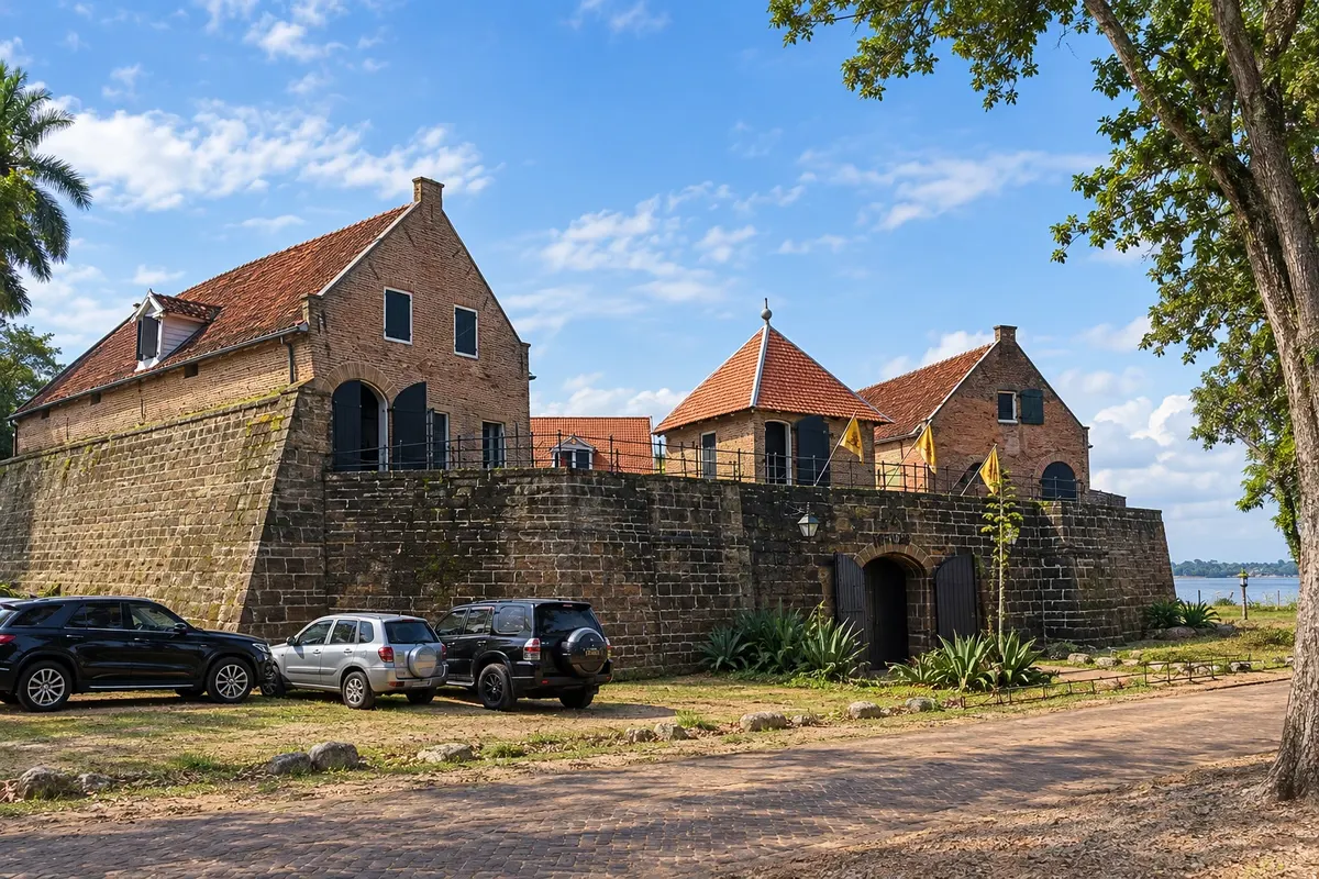
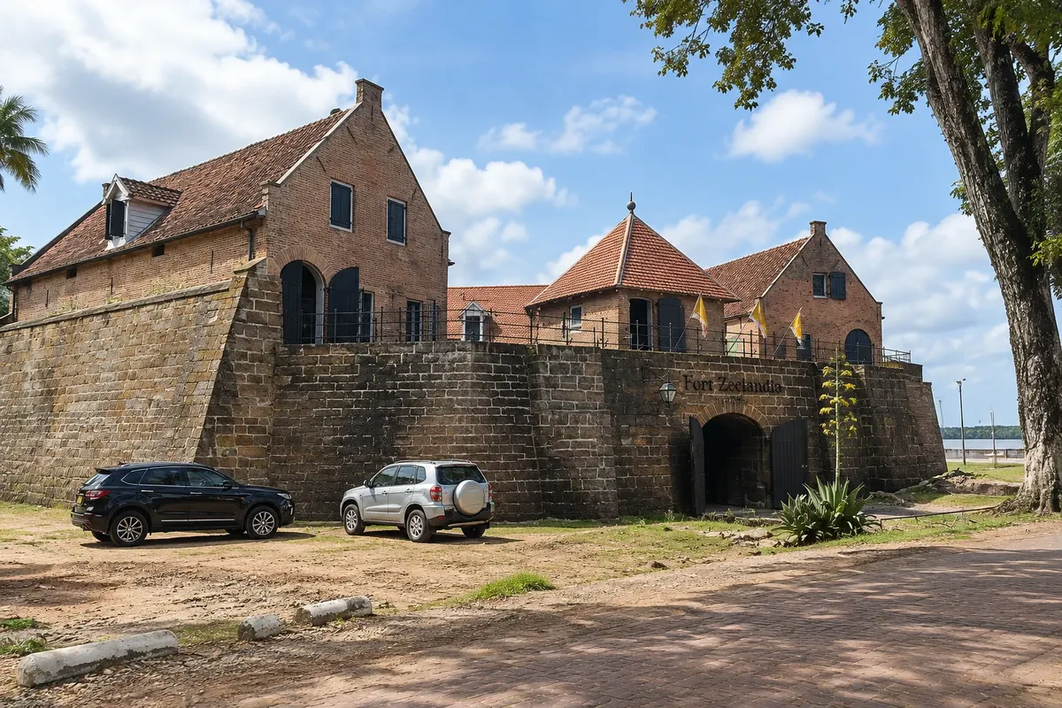
In the photo: Fort Zeelandia

Illustrative images. The pictures in this guide are illustrations based on the real place, not photographs, and may differ from it.

Get it on Google Play Send your photos

Get to know the place

A region to enjoy
at your own pace.

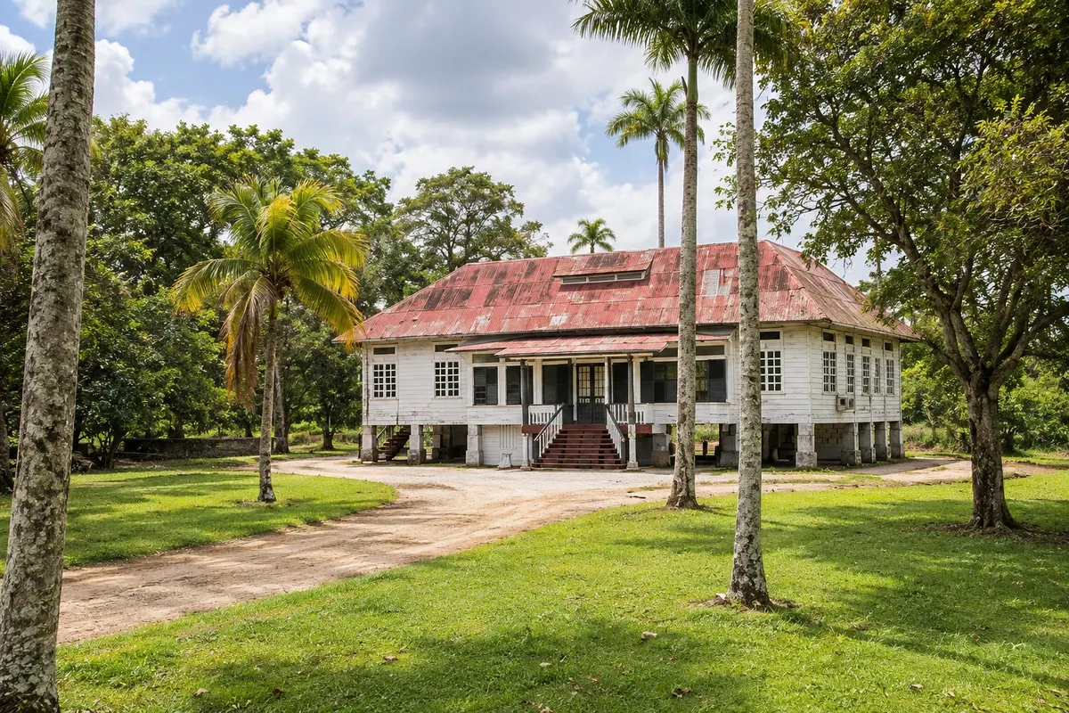
Paramaribo is the capital of Suriname and lies on the left bank of the Suriname River, a few kilometres from the Atlantic. The centre was laid out by the Dutch from the 17th century, and the streets still feature white wooden houses with steep roofs, green windows and front stairs, set on brick bases. The ensemble has been a UNESCO World Heritage Site since 2002.

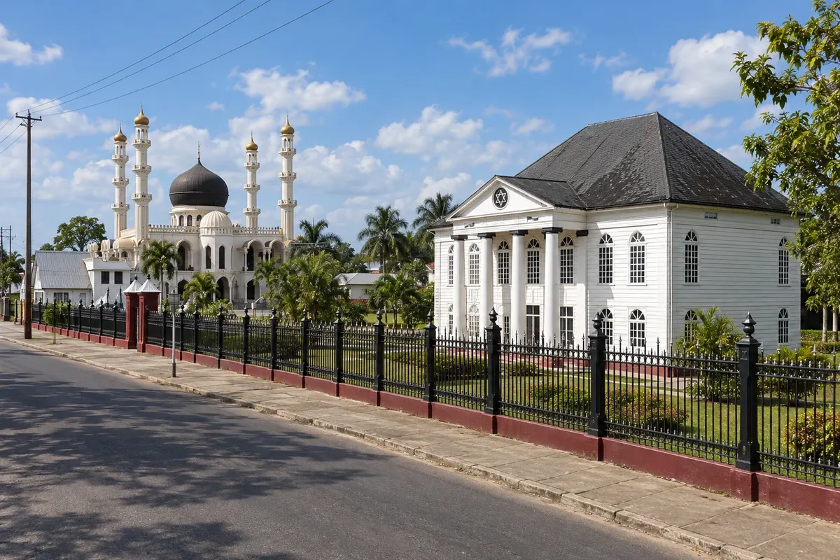
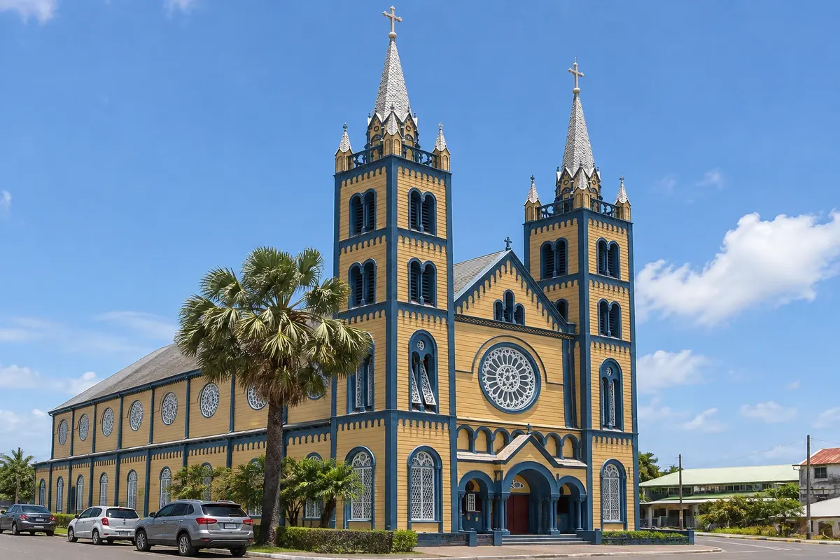
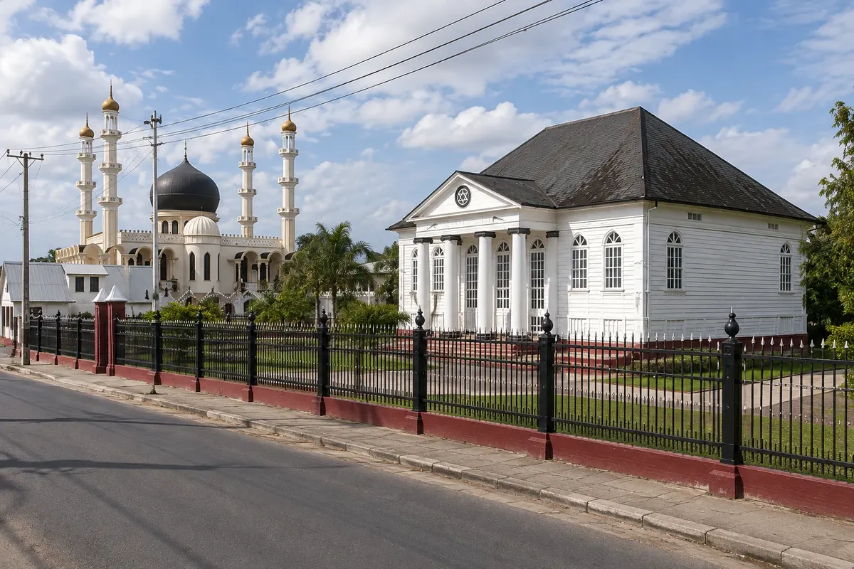
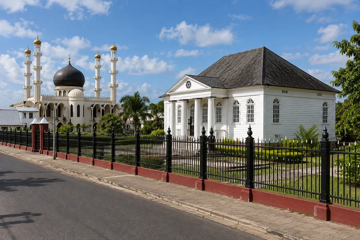
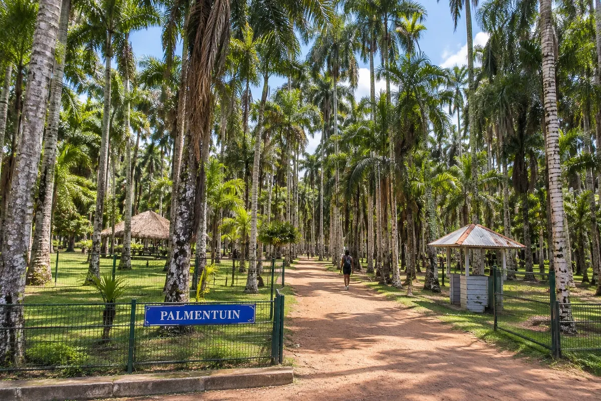
The centre is best explored on foot. Forte Zeelandia, on the riverfront, houses the Suriname Museum. Behind the presidential palace are the palm trees of the Palmentuin, and the Waterkant, the riverside street, leads to the Central Market. On Gravenstraat, the Cathedral of São Pedro e São Paulo is entirely wooden. On Keizerstraat, the mosque and the Sinagoga Neve Shalom sit side by side, a portrait of a city where descendants of Indians, Javanese, Africans, Chinese, Jews, indigenous peoples and Europeans live together.

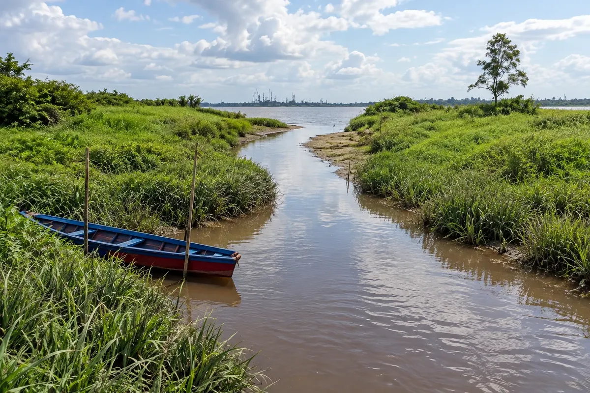
On the other side of the river is the district of Commewijne, with old sugar and coffee plantations, Forte Nieuw Amsterdam and boat trips where gray dolphins often appear. To the south, about a hundred kilometres in a straight line, Brownsberg Nature Park rises to a forested plateau above Brokopondo Lake.

The official language is Dutch, sranan tongo is widely heard in the streets and many people speak English. The currency is the Surinamese dollar, and cars drive on the left.

This destination brings together 1 city: Paramaribo.

Share: WhatsApp
Traveler, share your experiences through photos Up to 5 photos of each place you visited.

One destination, many paths

The cities on this trip

Start with one city or combine several in your itinerary.

Where Paramaribo and the Suriname River is
Paramaribo

Contornos: OpenStreetMap (Wambacher), via geoBoundaries (ODbL 1.0). Adaptação do Cidade Turismo.

How to get there: Paramaribo and the Suriname River

✈ Aeroporto Internacional Johan Adolf Pengel (PBM), in Zanderij · 45 km to Paramaribo

✈ Aeroporto Zorg en Hoop (ORG) · 10 km to Paramaribo

Confirm before purchasing. Johan Adolf Pengel International Airport is in Zanderij, about 45 km south of the centre. By land, from Amapá the route goes through French Guiana, crossing the Maroni River to Albina and then by road to the capital.

The local experience

Things to do in Paramaribo and the Suriname River

Fort Zeelandia
Paramaribo · Paramaribo · Fortress

Fort Zeelandia

A star-shaped fort on the banks of the Suriname River, built of wood by the French, rebuilt by the English and taken by the Dutch in 1667. It houses the Museu do Suriname.

Kathedrale Basiliek Sint Petrus en Paulus
Paramaribo · Paramaribo · Church

Kathedrale Basiliek Sint Petrus en Paulus

Wooden Catholic cathedral on Gravenstraat, with two towers and 44 metres in height to the cross, built between 1883 and 1901. The interior is entirely Surinamese cedar without paint.

Moskee Keizerstraat
Paramaribo · Paramaribo · Church

Moskee Keizerstraat

The mosque on Keizerstraat, with a dome and two minarets, is wall‑adjacent to the Sinagoga Neve Shalom. The two side by side have become a symbol of Paramaribo's religious coexistence.

Synagoge Neveh Shalom
Paramaribo · Paramaribo · Church

Synagoge Neveh Shalom

Neoclassical synagogue built between 1835 and 1842 on Keizerstraat, neighboring the Mesquita da Keizerstraat. It houses a small museum about the history of Jews in Suriname.

See 6 more places in Paramaribo and the Suriname River
Palmentuin
Paramaribo · Paramaribo · Garden

Palmentuin

A garden of royal palms behind the presidential palace, opened to the public in 1685, with capuchin monkeys in the crowns, birds and shaded benches, next to the praça da Independência.

Waterkant e Centrale Markt
Paramaribo · Paramaribo · Market

Waterkant e Centrale Markt

The riverside street with merchants' wooden townhouses, and the two‑storey Mercado Central: on the ground floor, fruit, fish and spices; above, clothing and household goods.

Fort Nieuw Amsterdam
Paramaribo · Paramaribo · Fortress

Fort Nieuw Amsterdam

Dutch fort from 1747 at the meeting point of the Suriname and Commewijne rivers, today an open-air museum with ramparts, cannons, magazines and views of the river where gray dolphins often appear.

Plantage Mariënburg
Paramaribo · Paramaribo · Monument

Plantage Mariënburg

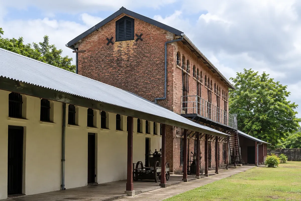
Former plantation and sugar mill in Commewijne, with the chimney, iron sheds and stationary locomotives. It was there that, in 1890, the first contracted Javanese workers arrived.

Peperpot Natuurpark
Paramaribo · Paramaribo · Park

Peperpot Natuurpark

Former coffee plantation south of Meerzorg, which produced from the late 17th century until 1998 and became a 700-hectare nature park, with forest trails, birds and the plantation buildings.

Brownsberg Natuurpark
Paramaribo · Paramaribo · Park

Brownsberg Natuurpark

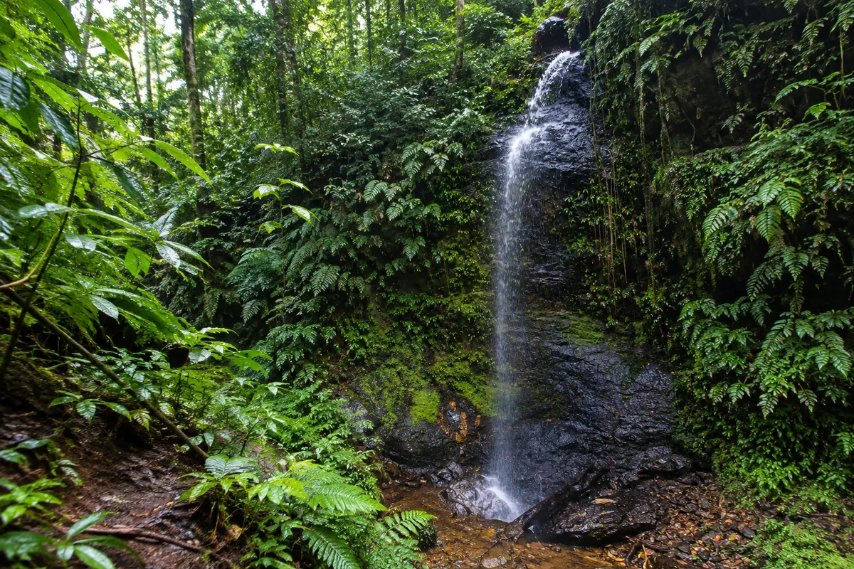
Nature park on a forest plateau about 500 meters above sea level, overlooking the Brokopondo lake, with trails to waterfalls, monkeys and birds. It is about 130 km from Paramaribo by road.

Before you go

Practical information

A little planning leaves more time to enjoy the journey.

When to go

The heat is constant, with daytime highs around 30 °C. From September to November is usually the driest period, good for walking the centre and taking boat trips. The heaviest rains usually fall from April to July. There is another, shorter rainy phase between December and January. Showers tend to be intense and short-lived.

The seasons shown are the most usual ones; nature doesn't always follow the calendar.

How many days to stay

Two days are enough for the historic centre, Forte Zeelandia, the churches on Keizerstraat and the Central Market. A third day covers Commewijne, with Forte Nieuw Amsterdam, the plantations and the dolphin boat trip. For Brownsberg Nature Park, allow an additional day, preferably with an overnight stay.

Which city to stay in

The historic centre, near the Waterkant and the Palmentuin, is the base for doing everything on foot, with hotels in wooden townhouses and guesthouses. The Kleine Waterstraat area, next to the centre, concentrates hotels, bars and restaurants. Residential neighbourhoods to the north, such as Blauwgrond, have guesthouses and Javanese restaurants. On the other side of the river, in Commewijne, there are guesthouses on former plantations.

Respect the place

Take your trash with you, follow the signs and support local businesses. In natural areas, follow the visiting guidelines.

Get your questions answered

Frequently asked questions about Paramaribo and the Suriname River

How many days to stay in Paramaribo?

Two days for the historic centre and a third for Commewijne. With Brownsberg Nature Park, four days.

Do I need a car in Paramaribo?

Not for the centre, which is walkable. For Commewijne and Brownsberg it's common to go with an organized tour, taxi or rental car. In Suriname you drive on the left.

What language is spoken in Paramaribo?

Dutch is the official language, sranan tongo is most heard in the streets, and many people speak English. In tourist places, English usually works.

What is the best time to go to Paramaribo?

From September to November is usually the driest period. The heaviest rains fall from April to July.

Explore other destinations Search by state and city
Back