Scenic road
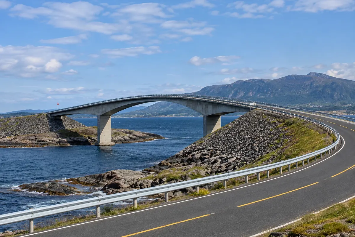
Atlanterhavsveien
The Estrada do Atlântico: 8.3 km of causeways and eight bridges over islets and reefs between Vevang and Averøy, featuring the curved Storseisundet bridge, viewpoints and the Eldhusøya boardwalk over the sea.
Viewpoint
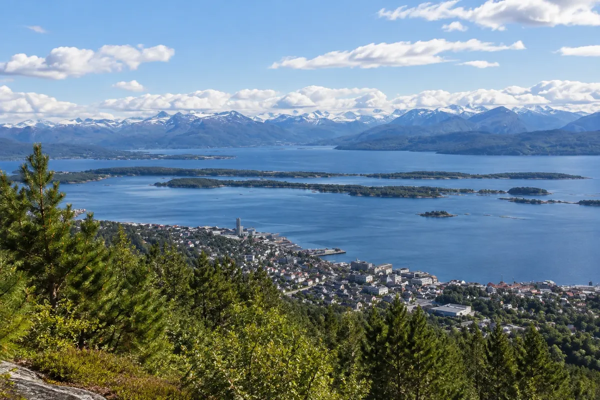
Varden
The viewpoint on the hill behind Molde, about 400 metres up, with the panorama of 222 Romsdal peaks on the far side of the fjord; access by trail from the town centre or by road.
Open-air museum
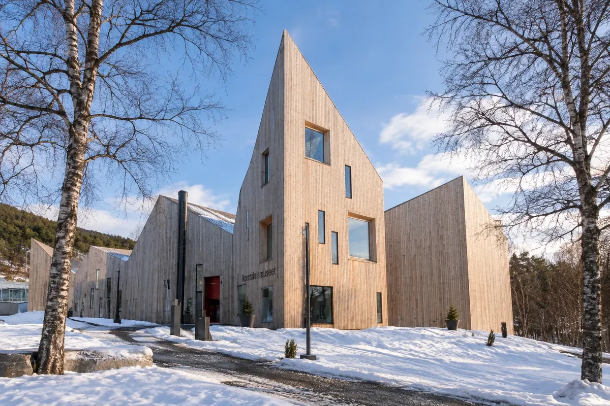
Romsdalsmuseet
The Museum of Romsdal, in west Molde: dozens of old regional buildings assembled in a park, with a wooden church, a small-town street, folk costumes and summer activities.
Cave
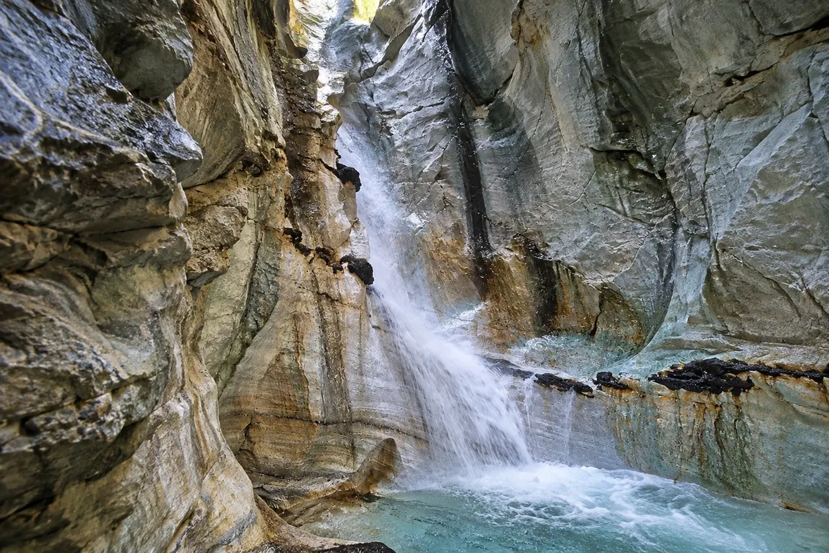
Trollkirka
The Church of the Trolls: three marble caves in a slope north of Molde, with a waterfall that falls into one of them; reached by a trail of about one hour from road 64.

 Brazil
 Argentina
 Bolivia
 Chile
Chile Colombia
 Ecuador
 Guyana
 French Guiana
 Falkland Islands (Malvinas)
 Paraguay
 Peru
Peru Suriname
 Uruguay
 Venezuela
 Germany
 Belgium
 Denmark
 Spain
Spain France
 Greece
 the Netherlands
 Ireland
 Italy
Italy Luxembourg
 Portugal
 the United Kingdom
 Sweden
 Switzerland