

 Brazil
 Argentina
 Bolivia
 Chile
Chile Colombia
 Ecuador
 Guyana
 Falkland Islands (Malvinas)
 Paraguay
 Peru
Peru Suriname
 Uruguay
 Venezuela
 Germany
 Belgium
 Denmark
 Spain
Spain France
 Greece
 the Netherlands
 Ireland
 Italy
Italy Luxembourg
 Norway
 Portugal
 the United Kingdom
 Sweden
 Switzerland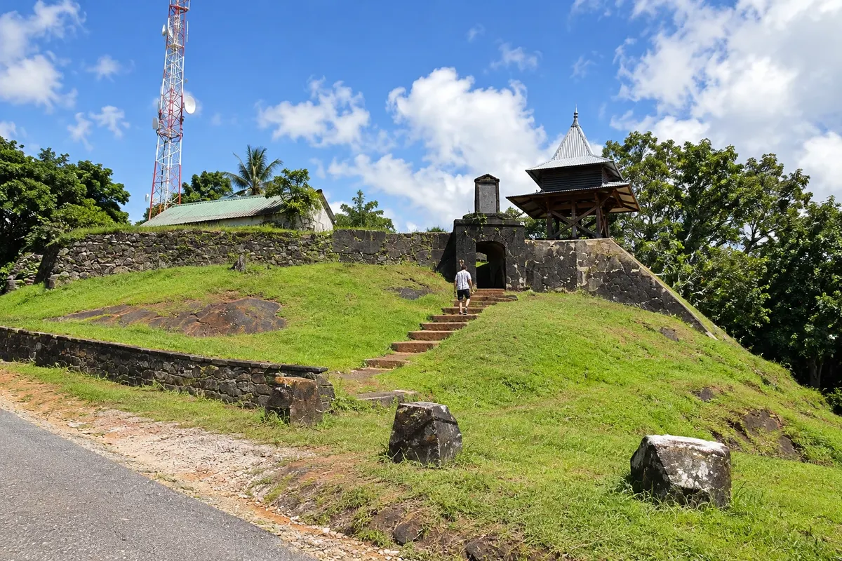
Fort · Caiena, Caiena
Fort Cépérou
The ruins of the 17th-century fort atop Cépérou hill, where Caiena began. The climb starts at Place Léopold-Héder, passes murals by local artists and ends at a viewpoint over the city, the river mouth and the sea.
Illustrative images. The pictures in this guide are illustrations based on the real place, not photographs, and may differ from it.

Discover
About Fort Cépérou
Forte Cépérou sits atop the hill of the same name, on the tip of the peninsula where Caiena was founded. The name comes from Cépérou, an indigenous chief who owned those lands and sold them in 1643 to the Frenchman Charles Poncet de Brétigny. It was at the foot of this hill that the town began, and the fortification, formerly called Forte Saint-Michel, was built to watch the river entrance and the sea.
Remains of the fort include walls, an arched entrance gate, a wooden watchtower and the upper enclosure. What draws most visitors is the viewpoint: from there you can see the old centre, the city's rooftops, the mouth of the Caiena river and the Atlantic, with the islets offshore.
The climb starts at Place Léopold-Héder, the old Place d'Armes, where the town's first church stood and where colonial buildings used by the administration now stand. The path up has been decorated with colourful murals by Guianese artists on themes of local history and traditions, which in themselves make the walk worthwhile.
The top of the hill also contains military areas that are not open to the public; stay on the marked paths. Guided visits to the fort take place regularly, organised by the local tourist office; check the dates in advance.
Before you go
Practical information
Cidade Turismo reviews its information regularly, but something may have changed. Check with the place before planning your trip.
How much time to set aside
About 40 minutes to 1 hour, including the walk up from Place Léopold-Héder and time at the viewpoint.
Best time
In the late afternoon, when the light is low over the rooftops and the river, or early in the morning before the heat. During the drier season, from July to November, the view is usually clearer.
How to get there
The climb starts at Place Léopold-Héder in the old centre, about a 5-minute walk from Place des Palmistes. The route is short but steep in places.
Tip
Bring water and a hat and take the ascent at a relaxed pace. Pair the visit with Place Léopold-Héder at the foot of the hill, and descend toward Place des Palmistes to have dinner at the food stalls.
Get your questions answered
Frequently asked questions about Fort Cépérou
Where does the name Cépérou come from?
From Cépérou, an indigenous chief who owned the hill and the surrounding lands and who, in 1643, sold them to the Frenchman Charles Poncet de Brétigny. The city of Caiena was born at the foot of that hill.
What can you see from the top of Forte Cépérou?
The old centre of Caiena, the roofs of the creole houses, the mouth of the Caiena River and the Atlantic, with the islets offshore.
Is the climb to the fort difficult?
It's short but has steep sections. Bring water and avoid the middle of the day when the sun is strong.
Are there guided tours of the fort?
Local tourism organizes guided visits regularly. Check the dates before you go; outside of them, the climb and the viewpoint can be done independently via the signposted paths.