

 Brazil
 Argentina
 Bolivia
 Chile
Chile Colombia
 Ecuador
 Guyana
 French Guiana
 Falkland Islands (Malvinas)
 Paraguay
 Suriname
 Uruguay
 Venezuela
 Germany
 Belgium
 Spain
Spain France
 Greece
 the Netherlands
 Ireland
 Italy
Italy Luxembourg
 Portugal
 the United Kingdom
 Switzerland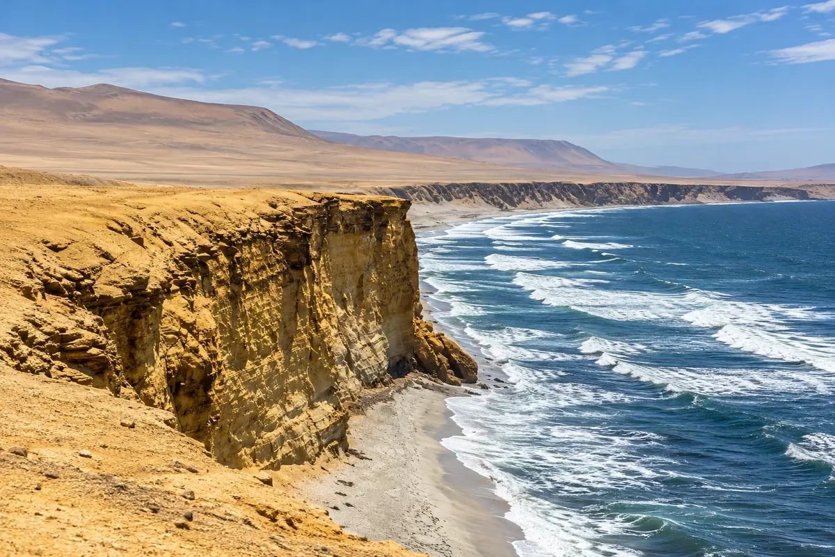
Natural area · Paracas, Ica
Reserva Nacional de Paracas
Desert peninsula protected since 1975, with cliffs over the Pacific, red-sand beaches, the fishing village of Lagunillas, flamingos in the bay and the museum of the Paracas culture.
Illustrative images. The pictures in this guide are illustrations based on the real place, not photographs, and may differ from it.

Discover
About Reserva Nacional de Paracas
The Reserva Nacional de Paracas was created in 1975 and protects about 335,000 hectares of coastal desert and sea south of the village of Paracas, including the entire peninsula. It is one of Peru's most visited protected areas and one of the few that combine desert and ocean. The surrounding sea, cold and nutrient-rich, supports large populations of fish, seabirds and marine mammals.
At the reserve entrance is the interpretation center and the Museo de Sitio Julio C. Tello, dedicated to the Paracas culture, which lived on the peninsula between roughly 800 BC and 100 AD. Archaeologists found cemeteries there with bodies wrapped in embroidered mantles depicting animals and mythical beings, and elongated, trepanned skulls. From the center area you can see the bay and, part of the year, flamingos in the shallow waters.
The reserve roads lead to viewpoints above cliffs tens of meters high, such as the former Catedral, a rock formation that lost its arch in the 2007 earthquake, and to beaches like Playa Roja, with reddish sand of volcanic origin, and La Mina. The village of Lagunillas has fishing boats and fish restaurants.
There is no shade or water along the roads. Bring a hat, sunscreen and water. Entrance to the reserve has a fee, collected at the gate.
Before you go
Practical information
Cidade Turismo reviews its information regularly, but something may have changed. Check with the place before planning your trip.
How much time to set aside
About 3 to 4 hours for the interpretation center, the viewpoints, Playa Roja and Lagunillas.
Best time
In the afternoon, after the trip to the Ilhas Ballestas, when the sky usually clears. From December to April there is usually more sun. The afternoon wind can be strong, especially from June to October.
How to get there
The entrance gate is about 4 km from the village of El Chaco, along the road that skirts the bay. Agency tours depart from the village by van or bicycle; those who go by car pay the entrance fee at the gate.
Tip
Do the Ilhas Ballestas tour in the morning and visit the reserve in the afternoon. At Playa Roja, descend only via the marked paths: the edges of the cliffs are composed of loose sand.
Get your questions answered
Frequently asked questions about Reserva Nacional de Paracas
What is the Paracas culture?
It was a people who lived on the peninsula and the southern coast of Peru between about 800 BC and 100 AD. They became known for the embroidered mantles found in their cemeteries.
Why is Playa Roja red?
The sand contains fragments of reddish volcanic rock that erosion has carried from the cliffs to the beach.
Can you swim in the sea inside the reserve?
At some beaches, such as La Mina, yes, with cold water. At others, like Playa Roja, swimming is not recommended because of the currents.