Huaraz and the Cordillera Blanca

Áncash · Peru

Huaraz and the Cordillera Blanca

The city of the mountains in the Callejón de Huaylas, at the foot of the Cordillera Blanca: turquoise lagoons, the Pastoruri glacier, high-altitude trails in Parque Nacional Huascarán and the temple of Chavín de Huántar.

North

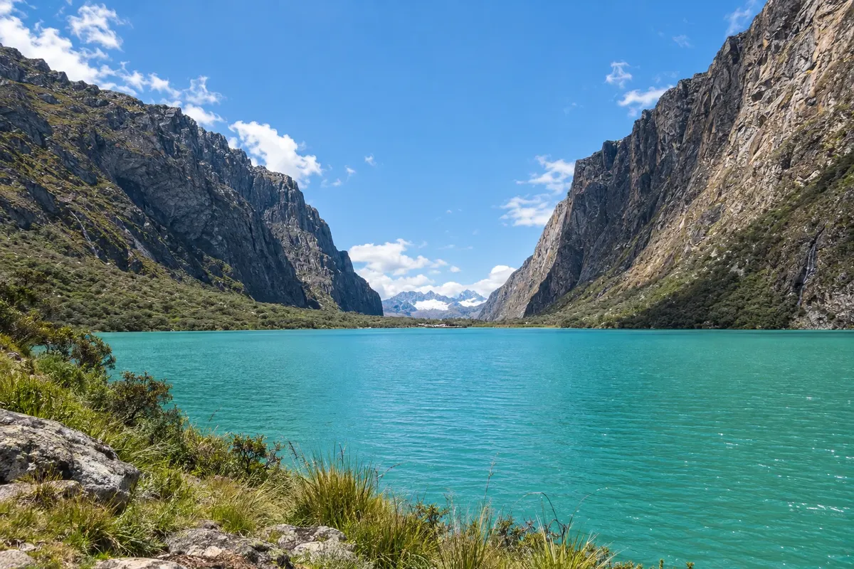
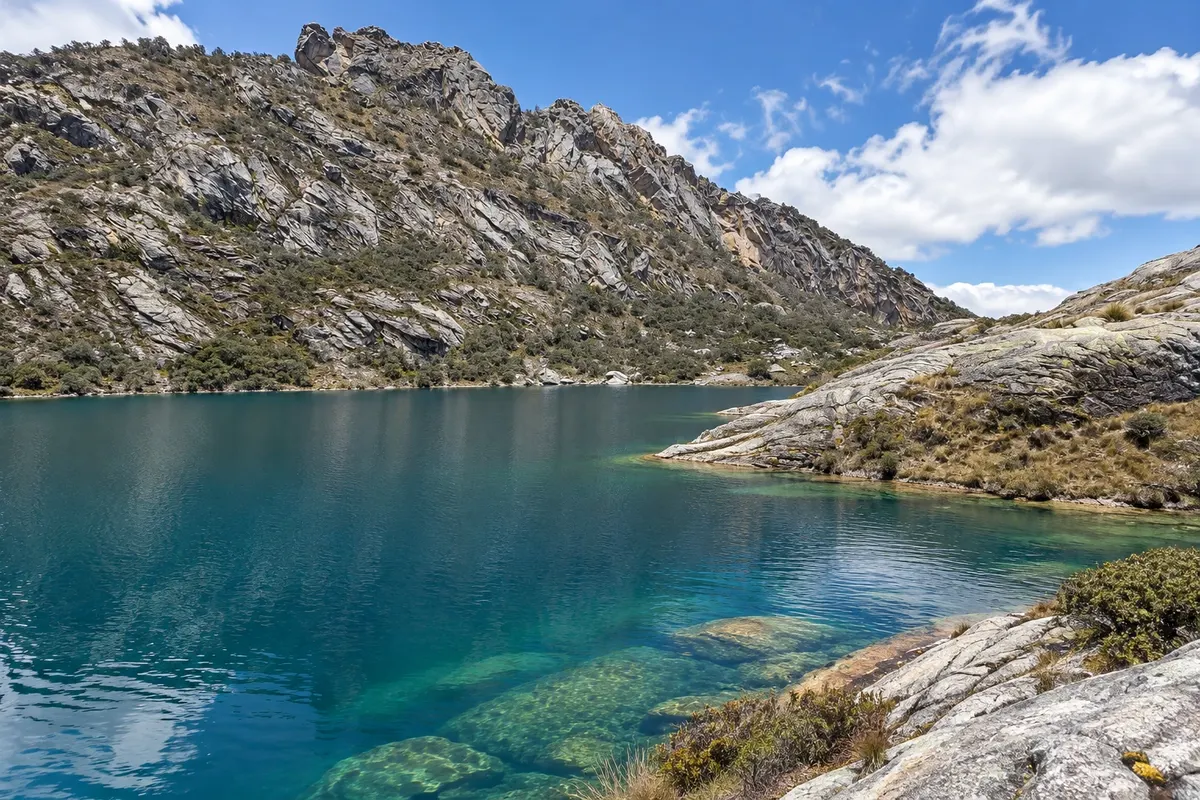
In the photo: Lagunas de Llanganuco

Illustrative images. The pictures in this guide are illustrations based on the real place, not photographs, and may differ from it.

Get it on Google Play Send your photos

Get to know the place

A region to enjoy
at your own pace.

Huaraz sits at about 3,050 metres of altitude in the Callejón de Huaylas, the Santa River valley between the Cordillera Negra and the Cordillera Blanca, in the department of Áncash. It is the departmental capital and the gateway to the largest tropical mountain range in the world, with dozens of peaks above 6,000 metres. The city was rebuilt after the 1970 earthquake and today lives off trade and mountain tourism.

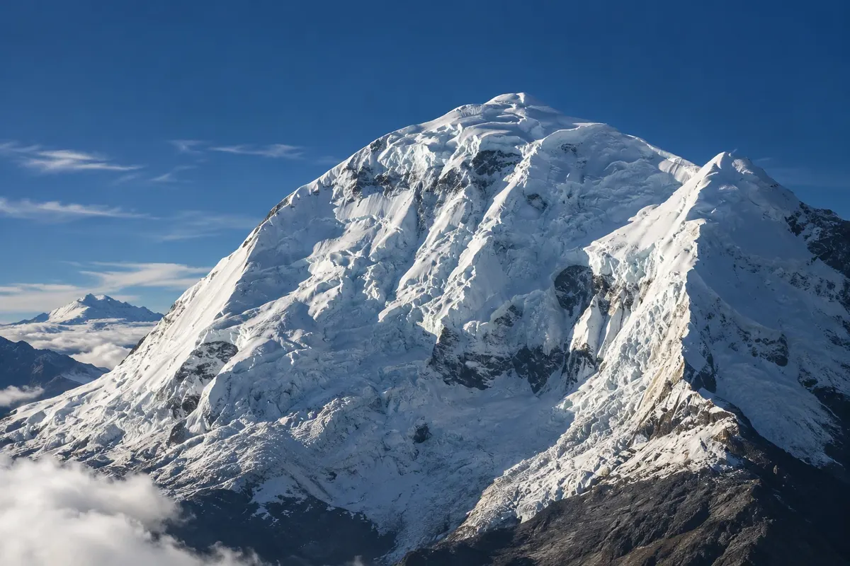
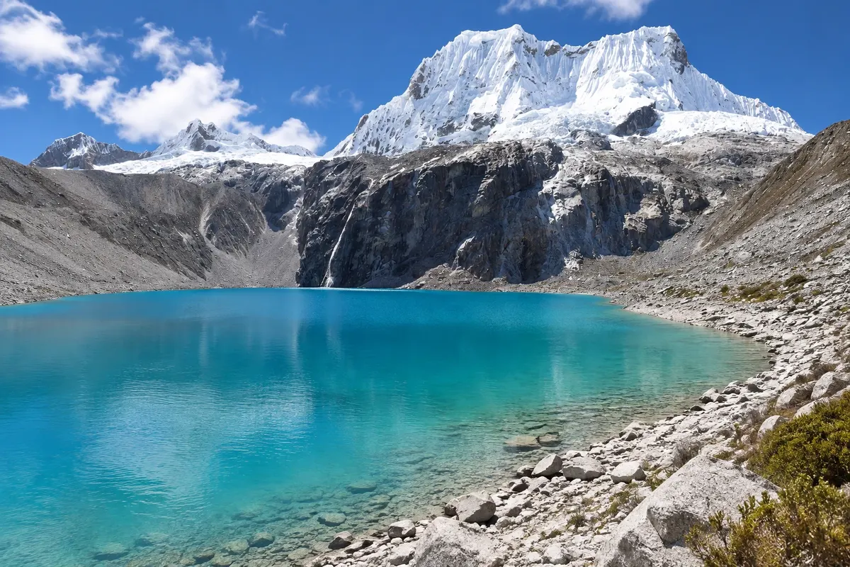
The Cordillera Blanca is almost entirely within Parque Nacional Huascarán, a UNESCO World Heritage Site since 1985, named after Huascarán, Peru’s highest mountain. From there come the best-known excursions: the Lagunas de Llanganuco in the valley at the foot of Huascarán; the trail to Laguna 69, a turquoise lake beneath the Chacraraju snow peak; Laguna Churup, closer to the city; and the Pastoruri glacier in the southern part of the park.

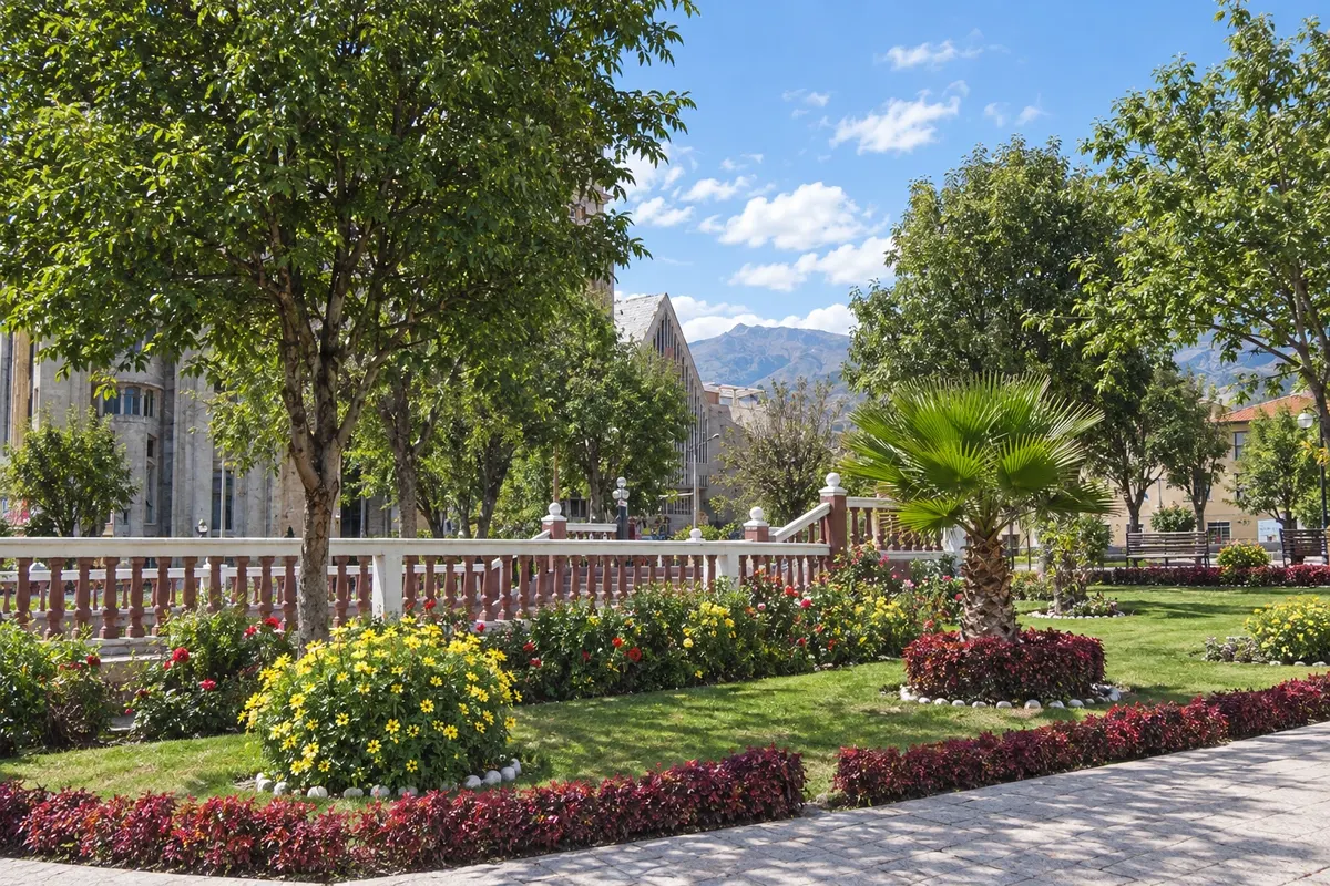
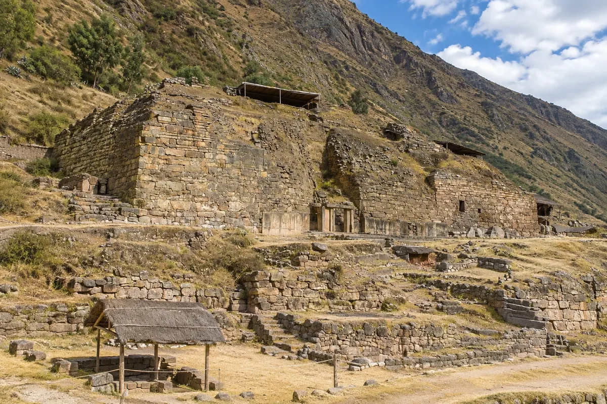
On the other side of the range, about three hours by road, is Chavín de Huántar, the religious center of the Chavín culture, built between 1500 and 300 BC, with underground galleries and the Lanzón monolith, also a World Heritage Site. In Huaraz itself, the Museo Arqueológico de Áncash on the Plaza de Armas preserves a garden with more than one hundred stone sculptures of the Recuay culture.

Altitude has an effect: many travelers feel it during the first days, and excursions go above 4,000 metres. The dry season, from May to September, is the trails’ high season.

This destination brings together 1 city: Huaraz.

Share: WhatsApp
Traveler, share your experiences through photos Up to 5 photos of each place you visited.

One destination, many paths

The cities on this trip

Start with one city or combine several in your itinerary.

Where Huaraz and the Cordillera Blanca is
Huaraz

Contornos: Natural Earth (domínio público). Adaptação do Cidade Turismo.

How to get there: Huaraz and the Cordillera Blanca

✈ Aeropuerto Comandante FAP Germán Arias Graziani (ATA), in Anta · 25 km to Huaraz

Check before buying. The most common route is via Lima: by bus it is about 8 hours along the road that climbs the highlands via Conococha. Anta airport, about 25 km away, has flights from Lima at certain times of year; confirm in advance.

The local experience

Things to do in Huaraz and the Cordillera Blanca

Huaraz · Áncash · Museum

Museo Arqueológico de Áncash Augusto Soriano Infante

The archaeological museum of Huaraz, on the Plaza de Armas, with ceramics, textiles and metalwork from the Chavín, Recuay, Moche, Wari and Inca cultures, and a garden with more than 150 stone sculptures, mostly Recuay.

Parque Nacional Huascarán
Huaraz · Áncash · National park

Parque Nacional Huascarán

The national park that protects the Cordillera Blanca, with around 20 peaks above 6,000 meters, including Huascarán, the highest in Peru, hundreds of lagoons and glaciers. UNESCO World Heritage Site and biosphere reserve.

Lagunas de Llanganuco
Huaraz · Áncash · Lagoon

Lagunas de Llanganuco

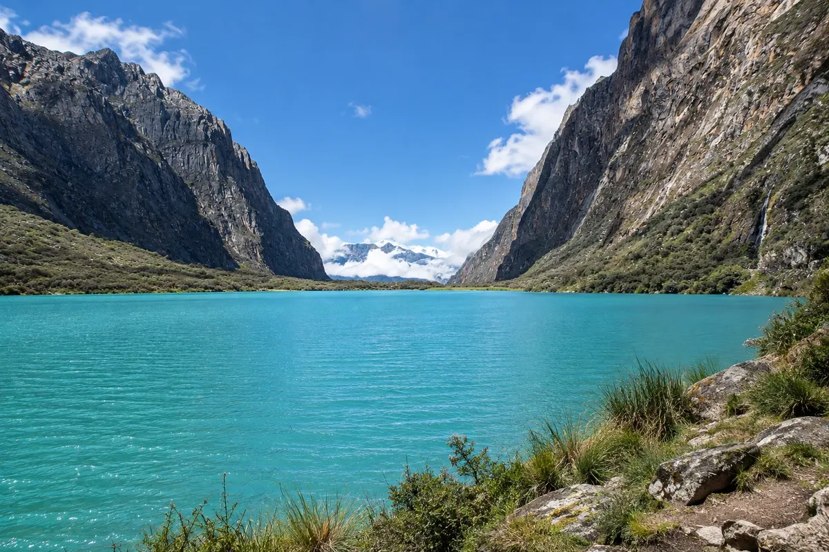
Two green-blue lakes in the Llanganuco valley, at the foot of Huascarán and Huandoy, at about 3,850 meters: Chinancocha, with a path along the shore and boat rides, and Orconcocha, higher up.

Laguna 69
Huaraz · Áncash · Lagoon

Laguna 69

A turquoise-water lake at about 4,600 meters, beneath the neveado Chacraraju, at the end of a high-altitude trail that climbs from Cebollapampa in the Llanganuco valley. Visits are made with an authorized agency.

See 3 more places in Huaraz and the Cordillera Blanca
Laguna Churup
Huaraz · Áncash · Lagoon

Laguna Churup

A lake at about 4,450 meters, at the foot of neveado Churup, at the end of a trail that starts in Pitec, near Huaraz. It’s the highest-altitude outing closest to the city.

Huaraz · Áncash · Glacier

Glaciar Pastoruri

The glacier of neveado Pastoruri, in the south of the Cordillera Blanca, at about 5,000 meters, visited by a short walk from the parking area. Along the way are fields of Puya raimondii and springs with naturally carbonated water.

Chavín de Huántar
Huaraz · Áncash · Archaeological site

Chavín de Huántar

The religious center of the Chavín culture, built between 1500 and 300 BC on the other side of the Cordillera Blanca, with the stone temple, underground galleries, the Lanzón monolith and the cabezas-clavas. UNESCO World Heritage Site.

Before you go

Practical information

A little planning leaves more time to enjoy the journey.

When to go

The dry season usually runs from May to September, with clearer skies, cold nights and the hiking and climbing season. From December to March it usually rains in the afternoons, and clouds more often cover the peaks. April, October and November are transition months.

The seasons shown are the most usual ones; nature doesn't always follow the calendar.

How many days to stay

Four or five days: one or two to acclimatize to the altitude in the town, with Laguna Churup or Llanganuco, and then Laguna 69, Pastoruri and Chavín de Huántar, about one per day. Those planning multi-day treks need a week or more.

Which city to stay in

In Huaraz, the streets around the Plaza de Armas and the La Soledad neighborhood east of downtown concentrate hotels, hostels, agencies and restaurants, and day trips depart from there. Those seeking more peace and mountain views will find guesthouses in the outskirts, on the road to Monterrey and along the Callejón de Huaylas to the north.

Respect the place

Take your trash with you, follow the signs and support local businesses. In natural areas, follow the visiting guidelines.

Get your questions answered

Frequently asked questions about Huaraz and the Cordillera Blanca

What is the altitude of Huaraz?

About 3,050 metres, and excursions rise above 4,000 metres. Many travelers feel the altitude during the first days. Start with easier outings and leave Laguna 69 and Pastoruri for later. Consult your doctor before travelling.

How to get to Huaraz?

The most common way is by bus from Lima, about 8 hours, with day and night departures. Anta airport, about 25 km from Huaraz, has flights from Lima at certain times; check in advance.

Do I need an agency for the tours?

For Llanganuco, Pastoruri and Chavín, Huaraz agencies run day trips with transportation. For Laguna 69, visits are now only allowed with park-authorized agencies; check the rules before going.

What's the best time to go?

From May to September, in the dry season, when the sky tends to be clearer. From December to March it usually rains in the afternoons and clouds more often cover the mountains.

Explore other destinations Search by state and city
Back