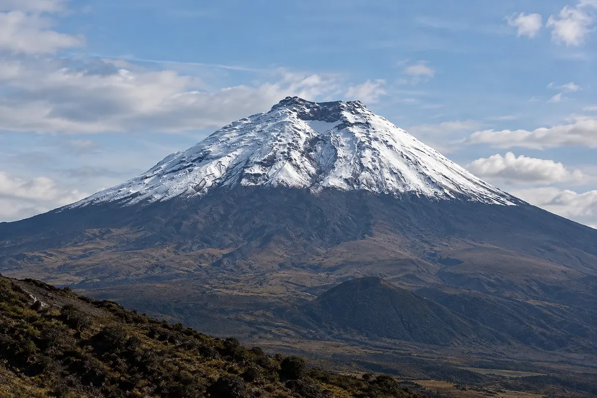
South of Quito, the Pan-American Highway runs through a valley between two ranges of volcanoes, which the naturalist Alexander von Humboldt called the Avenida dos Vulcões in the early 19th century. Peaks include Cotopaxi, Illiniza, Tungurahua and, farther south, Chimborazo, several with snow at their summits. Cities in this corridor, such as Latacunga and Ambato, sit between 2,500 and 2,800 meters.
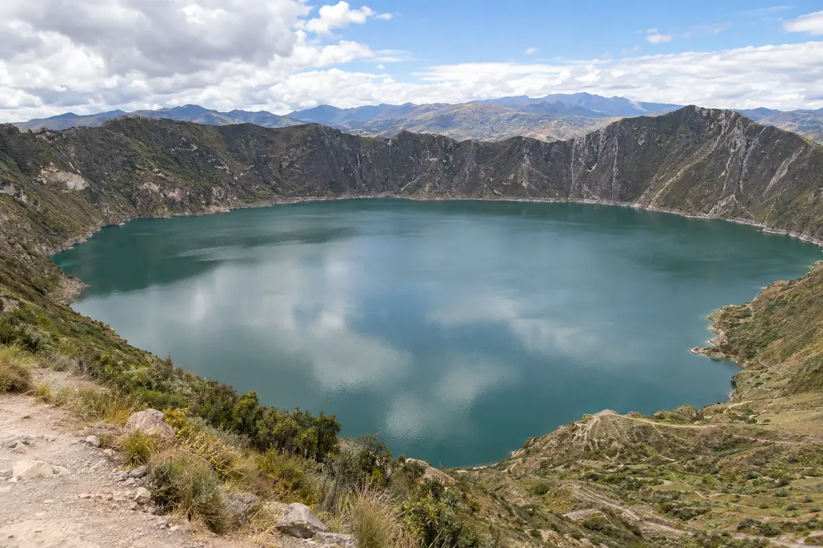
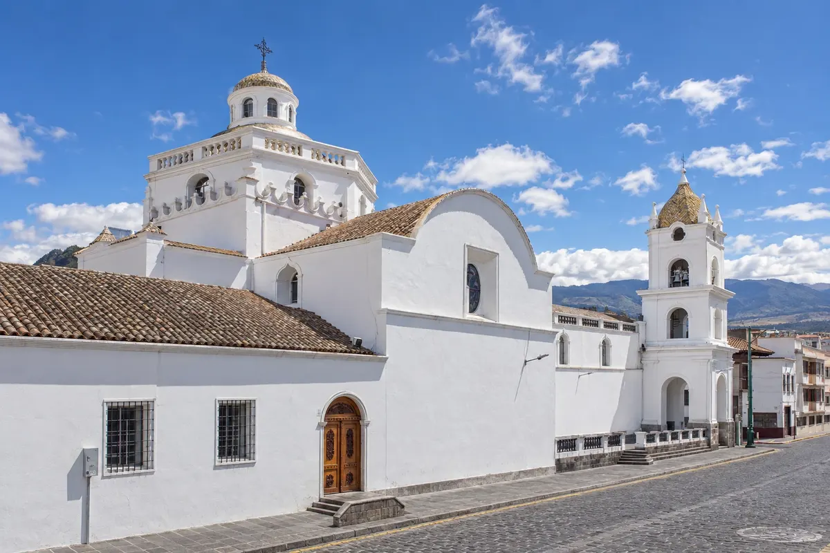
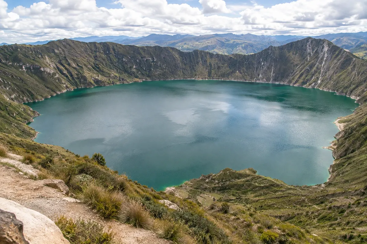
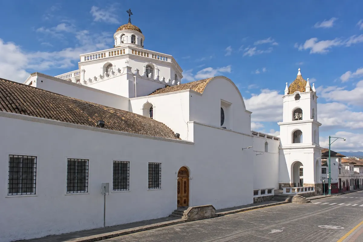
Latacunga, capital of Cotopaxi province, at about 2,800 meters, is the base for Cotopaxi National Park, featuring the 5,897-meter volcano, the lagoon of Limpiopungo and the páramo, and for Laguna Quilotoa, a water-filled crater with emerald-green water high on the western range, surrounded by kichwa communities. The town has a colonial center of volcanic stone and the Mama Negra festival.
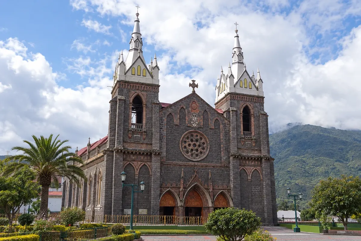
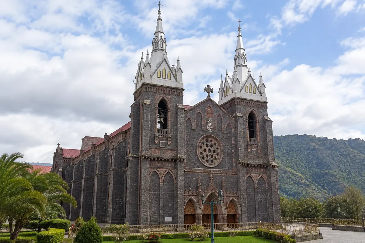
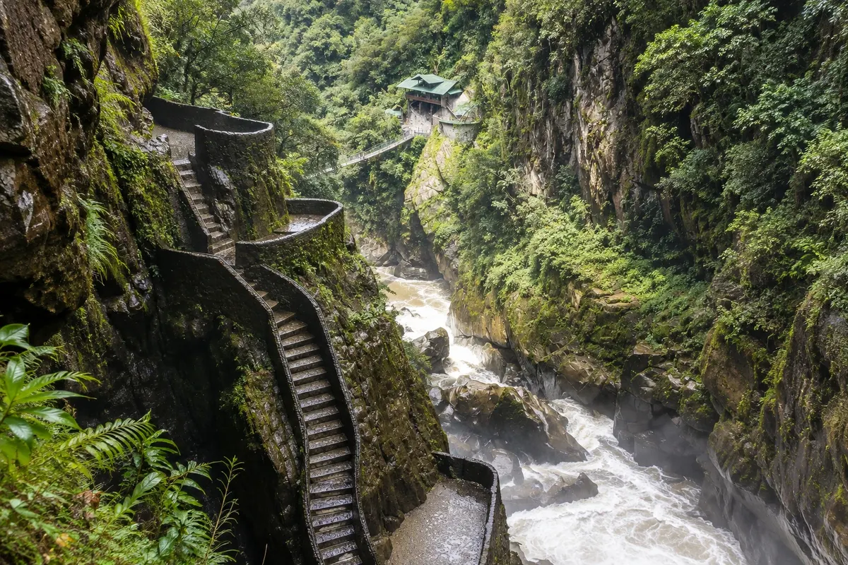
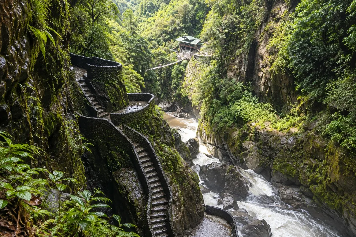
Baños de Agua Santa lies lower, at about 1,800 meters, in the Pastaza River valley, at the foot of Tungurahua, where the Andes begin to descend toward the Amazônia. It’s a town of volcanic hot springs, pilgrimage to the Virgem do Agua Santa and adventure sports. The road to Puyo, the Ruta de las Cascadas, passes dozens of waterfalls down to the Pailón del Diablo, and high on the slope is the Casa del Árbol, with a swing over the valley.
The region’s volcanoes go through active phases: check before you go whether the park and trails are open. Many travelers feel the altitude in the first days, especially at Cotopaxi and Quilotoa: take it easy.
This destination brings together 2 cities: Baños de Agua Santa, Latacunga.


 Brazil
 Argentina
 Bolivia
 Chile
Chile Colombia
 Guyana
 French Guiana
 Falkland Islands (Malvinas)
 Paraguay
 Peru
Peru Suriname
 Uruguay
 Venezuela
 Germany
 Belgium
 Spain
Spain France
 Greece
 the Netherlands
 Ireland
 Italy
Italy Luxembourg
 Portugal
 the United Kingdom
 Switzerland