

 Brazil
 Argentina
 Chile
Chile Colombia
 Peru
Peru Uruguay
 Germany
 Belgium
 France
 Greece
 the Netherlands
 Ireland
 Italy
Italy Luxembourg
 Portugal
 the United Kingdom
 Switzerland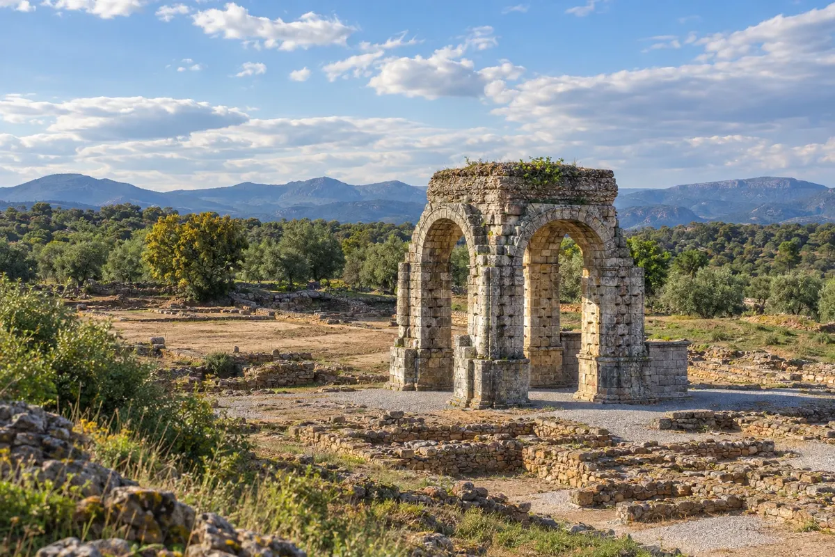
Route · Andaluzia · Estremadura · Castela e Leão · Galícia
Via de la Plata to Santiago on foot
The longest Camino de Santiago in Spain: from Sevilha to Santiago de Compostela along the west of the country, following the old Roman road, via Mérida, Cáceres, Salamanca, Zamora and Ourense.
In the photo: Roman arch of Cáparra, on the Via de la Plata route.
Illustrative images. The pictures in this guide are illustrations based on the real place, not photographs, and may differ from it.

The route
What the Via de la Plata to Santiago on foot is
The Via de la Plata is the Camino de Santiago that starts in the south of Spain. It begins in Sevilha, in Andalusia, and runs up the west of the country, through Extremadura and Castile and León, to Galicia. By the route chosen, the Camino Sanabrés, it’s about 977 km to Santiago de Compostela, in roughly 37 stages, or five to six weeks of walking.
Much of the route follows the old Roman road that connected Mérida to Astorga, and you can still see mile markers, bridges and the arch of Cáparra along the way. The main stops are World Heritage cities: Mérida, with its Roman theatre; Cáceres, with its walled historic centre; and Salamanca, with the university and the two cathedrals. After that comes Zamora, the Romanesque city on the Duero.
After Zamora the route splits. The Camino Sanabrés, the path of this route, goes west via Puebla de Sanabria and A Gudiña, enters Galicia and reaches Ourense, the city of thermal waters. The other option heads north to Astorga, where it meets the Camino Francés.
The map
7 cities along the way
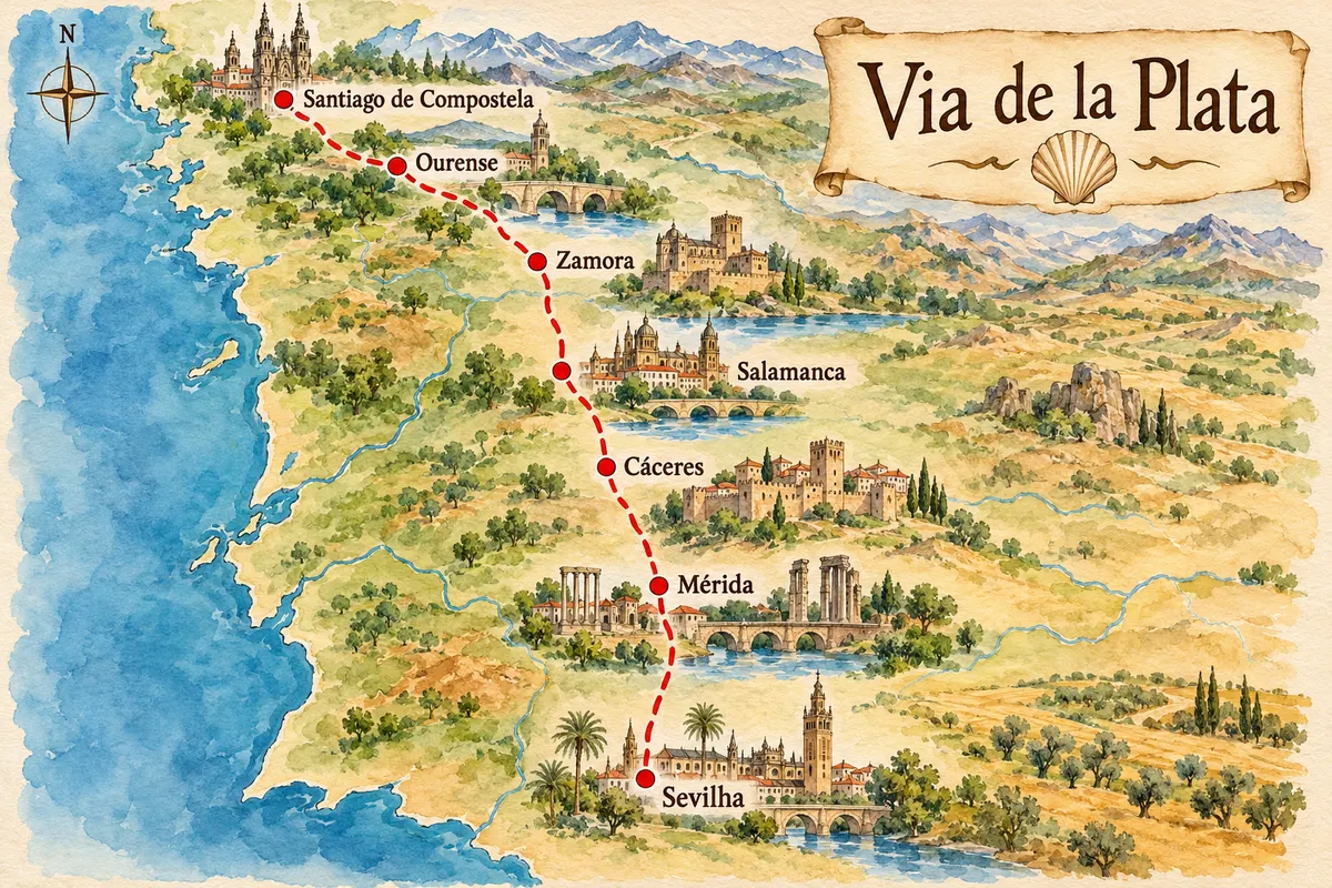
Contornos: IGN/CNIG, unidades administrativas, CC BY 4.0. Adaptação do Cidade Turismo.
The journey
City by city
Distances and times are approximate: check before you set off.
-
 1 · Andaluzia
Sevilha
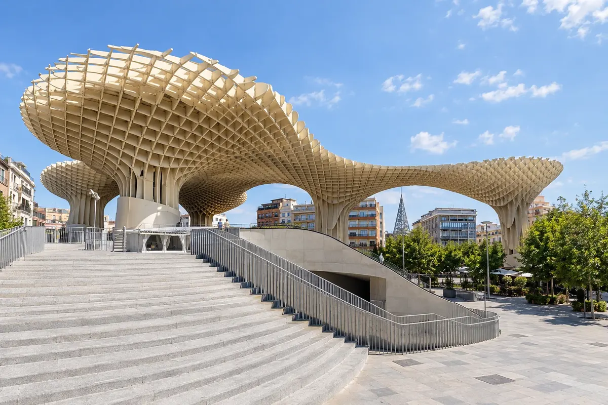
Sevilha is the capital of Andalusia and the starting point of the Via de la Plata. Pilgrims usually get their credencial and the first stamp at the cathedral, before leaving the city to the north, crossing the Guadalquivir towards Guillena.
→ Mérida about 214 km about 9 days on foot 9 stages, from 18 to 34 km: via Guillena, Castilblanco de los Arroyos (stretch without water points), Almadén de la Plata, Monesterio, Fuente de Cantos, Zafra, Villafranca de los Barros and Torremejía to Mérida.
-
 2 · Estremadura
Mérida
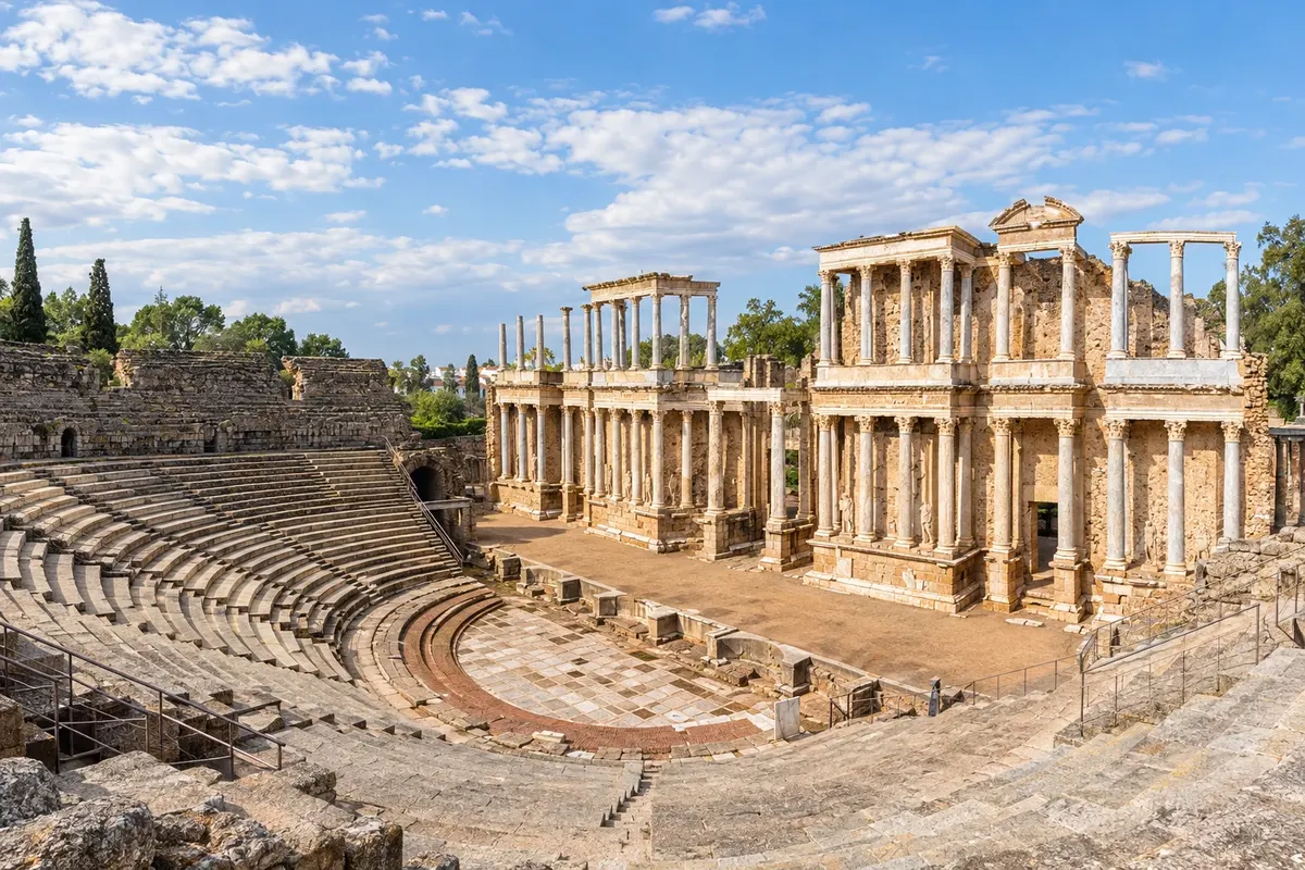
After the Sierra Morena and Zafra, the route reaches Mérida, the ancient Emerita Augusta, capital of Roman Lusitania. The archaeological ensemble, with the theatre, the amphitheatre and the Roman bridge over the Guadiana, is a World Heritage site.
→ Cáceres about 73 km about 2 days on foot 2 long stages: Mérida–Alcuéscar (36 km) and Alcuéscar–Cáceres (37 km). Can be split with a stop in Aljucén.
-
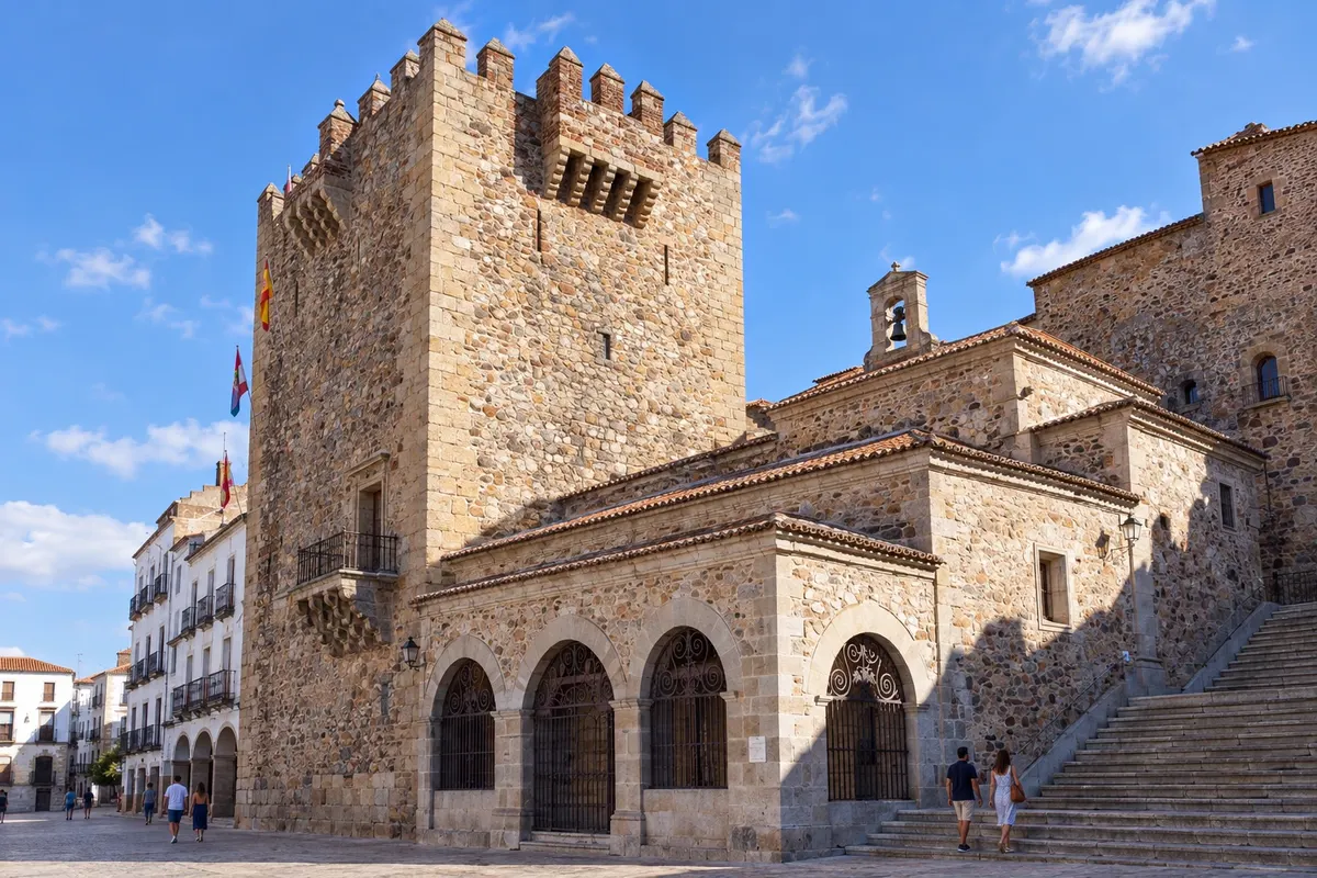 3 · Estremadura
Cáceres
After Alcuéscar, the route reaches Cáceres, with its walled centre of towers, palaces and churches, a World Heritage site. From here the path crosses the Alcántara reservoir and continues toward northern Extremadura.
→ Salamanca about 213 km about 8 days on foot 8 stages, from 20 to 38 km: via the Alcántara reservoir, Grimaldo, Carcaboso, the Roman arch of Cáparra, Aldeanueva del Camino, Baños de Montemayor, La Calzada de Béjar, Fuenterroble and San Pedro de Rozados.
-
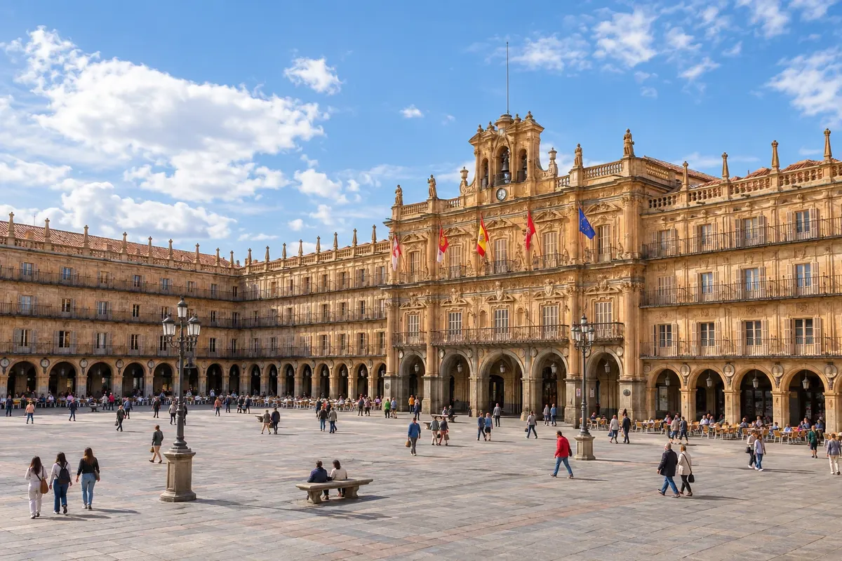 4 · Castela e Leão
Salamanca
After the Roman arch of Cáparra, Baños de Montemayor and the climb into Castile, the route enters Salamanca via the Roman bridge over the Tormes. The city has the university, the two cathedrals and the Plaza Mayor, and is a World Heritage site.
→ Zamora about 68 km about 2 days on foot 2 stages: Salamanca–El Cubo de la Tierra del Vino (36 km) and El Cubo–Zamora (32 km).
-
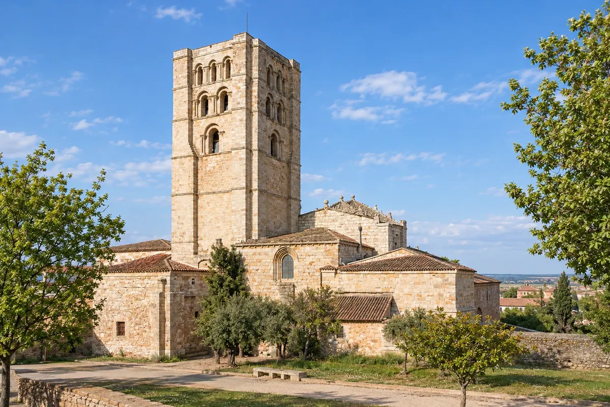 5 · Castela e Leão
Zamora
After El Cubo de la Tierra del Vino, the route reaches Zamora via the stone bridge over the Duero. Zamora has the cathedral with a scaled dome and more than twenty Romanesque churches. After Zamora, at Granja de Moreruela, the route splits: it continues along the Camino Sanabrés to Ourense or heads north to Astorga on the Camino Francés.
→ Ourense about 300 km about 11 days on foot Via Montamarta to Granja de Moreruela, where the Camino Sanabrés begins; then 9 stages, from 22 to 36 km, via Tábara, Mombuey, Puebla de Sanabria, Lubián, A Gudiña, Laza and Xunqueira de Ambía.
-
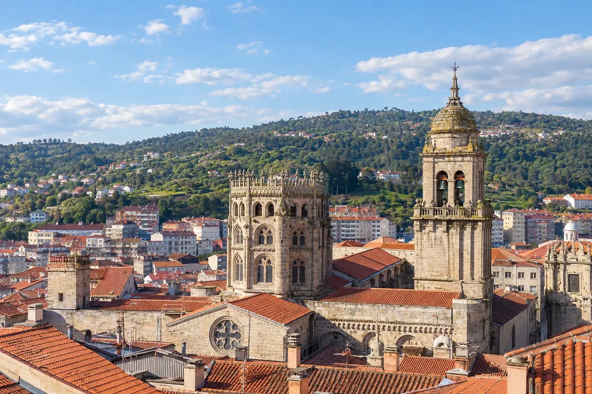 6 · Galícia
Ourense
Via the Camino Sanabrés, after Puebla de Sanabria, the mountain range between Castile and Galicia and A Gudiña, the route reaches Ourense, the city of thermal waters, with the cathedral of San Martiño. Ourense is the most popular starting point for the Via de la Plata, about 109 km from Santiago.
→ Santiago de Compostela about 109 km about 5 days on foot 5 stages: Ourense–Cea (22 km), Cea–Lalín (33 km, with an optional detour to the monastery of Oseira), Lalín–Bandeira (17 km), Bandeira–Vedra (15 km, via the bridge over the Ulla river) and Vedra–Santiago (22 km).
-
 7 · Galícia
Santiago de Compostela
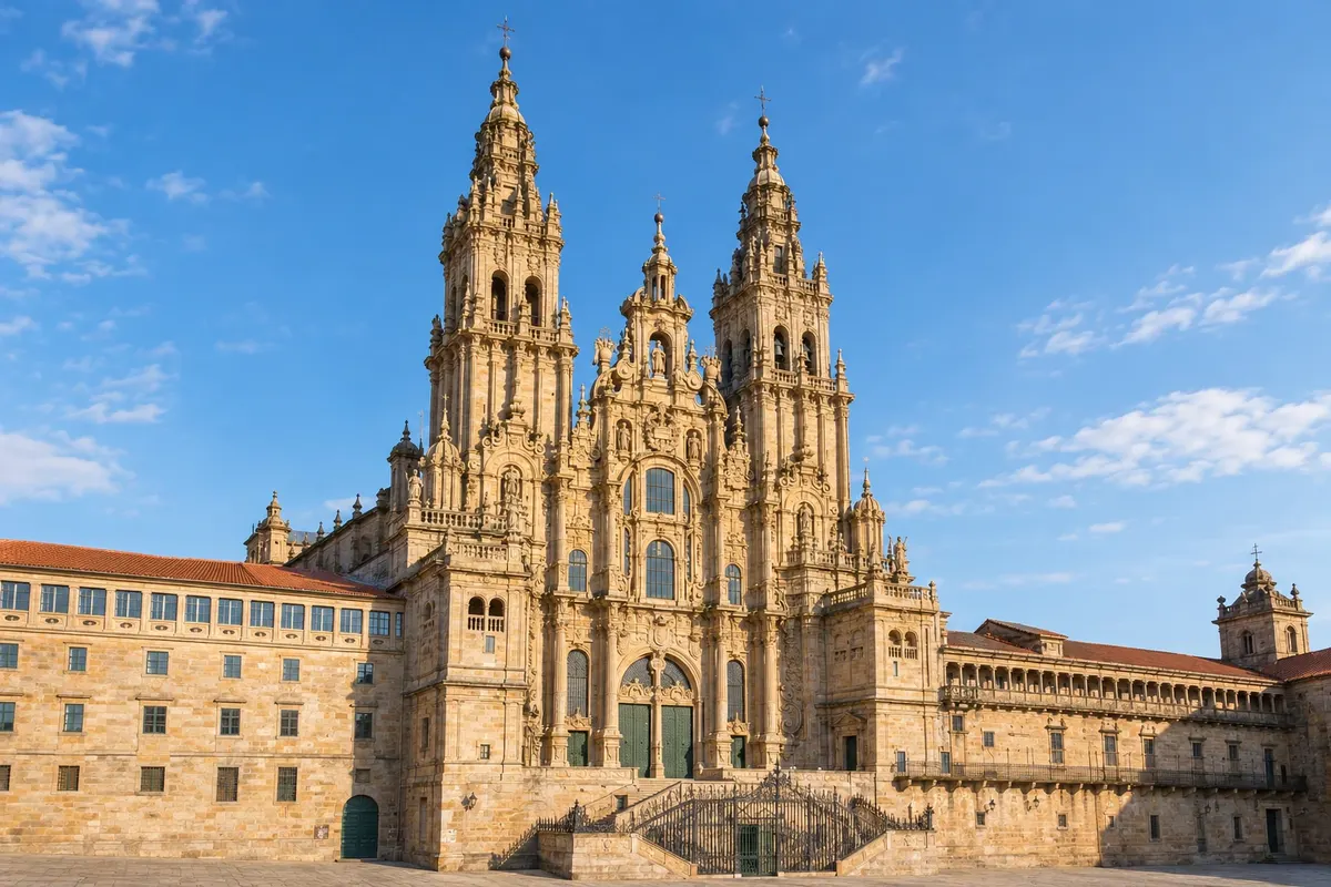
After Cea, Lalín and the bridge over the Ulla river, the route enters Santiago from the south and reaches the Plaza del Obradoiro. The Oficina do Peregrino, near the cathedral, issues the Compostela.
How many days
The whole route takes 5 to 6 weeks on foot. From Ourense, 5 days of walking; from Salamanca, about 3 weeks. Add one extra day in Santiago on arrival and one day to reach the starting point.
Best time to go
Spring, March to May, and autumn, September to October. In summer, June to September, Andalusia and Extremadura often get very hot, frequently above 35 °C, with long stretches without shade. In winter it’s cold on the Castile plateau and in Sanabria, where it can snow, and many hostels close. The final section, from Ourense to Santiago, is cooler and rainier.
The seasons shown are the most usual ones; nature doesn't always follow the calendar.
How to travel it
On foot, following the yellow arrows and the route markers, carrying a backpack or using luggage transport, which is available on parts of the route. Stages range from 20 to 35 km, and some are long with no settlements in between: plan where to buy water and food. Many do the route in sections on different trips. It is also ridden by bicycle.
Who it's for
For those who have done another Camino and want a long, quiet route; for those who enjoy Roman history and World Heritage cities; and for those with one week who want to start in Ourense on a route less crowded than the Francés.
Your questions
Frequently asked questions about the Via de la Plata to Santiago on foot
How many kilometers is the Via de la Plata?
About 977 km from Sevilha to Santiago via the Camino Sanabrés, in roughly 37 stages. From Ourense, about 109 km. Distances vary slightly depending on the source and route variants.
Where do most people start?
In Ourense, to do the last 109 km in five days and request the Compostela. Those doing the entire route start in Sevilha; others begin in Mérida, Cáceres or Salamanca.
What changes after Zamora?
At Granja de Moreruela the route splits: the Caminho Sanabrês goes west, through Puebla de Sanabria and Ourense, and the other option goes north to Astorga, where it meets the Caminho Francês.
Is the heat a problem?
In summer, Andaluzia and Estremadura often get very hot, frequently above 35 °C, and there are long stretches without shade or villages. People who go at that time usually set out at dawn and carry plenty of water. Spring and autumn are more suitable.
Are there albergues along the entire route?
There are public and private albergues on much of the route, but in smaller numbers than on the Caminho Francês, and some close in winter. Plan where to sleep, especially on the long stages.
What's the difference compared to the Caminho Francês?
The Via de la Plata is longer, hotter in the south and much less busy. It goes through Roman cities and World Heritage sites and has long stretches between villages.