

 Brazil
 Argentina
 Chile
Chile Colombia
 Peru
Peru Uruguay
 Germany
 Belgium
 France
 Greece
 the Netherlands
 Ireland
 Italy
Italy Luxembourg
 Portugal
 the United Kingdom
 Switzerland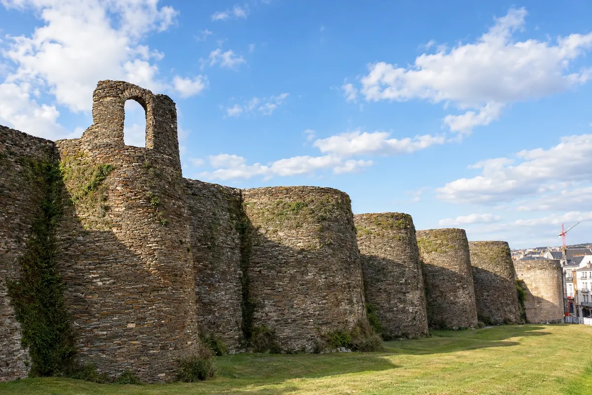
Route · Astúrias · Galícia
Caminho Primitivo de Santiago on foot
The oldest route to Santiago: from Oviedo, through the mountains of the Astúrias and via Lugo and its Roman walls, on foot to the cathedral of Compostela.
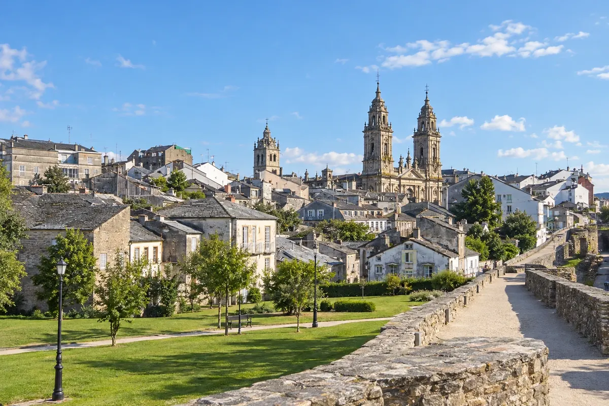
In the photo: Roman wall of Lugo
Illustrative images. The pictures in this guide are illustrations based on the real place, not photographs, and may differ from it.

The route
What the Caminho Primitivo de Santiago on foot is
The Caminho Primitivo leaves Oviedo, in the Astúrias, and reaches Santiago de Compostela in about 320 km and 13 to 14 stages. It is considered the oldest route: according to tradition, it was the route of King Afonso II das Astúrias, who in the 9th century left Oviedo to visit the newly discovered tomb of the apostle. It is recognized by UNESCO as a World Heritage Site, together with the other northern routes of Spain.
The route crosses the interior mountains of the Astúrias, through Grado, Salas, Tineo and Pola de Allande, rises to the puerto del Palo, over 1,100 meters, passes the Salime reservoir and enters Galícia via A Fonsagrada. In Lugo it crosses the Roman wall, a World Heritage Site, and continues to Melide, where it joins the Caminho Francês, three days from Santiago.
It is a mountain route, with steep climbs, isolated stretches and few services in some stages, and fewer pilgrims than the Francês. The route is marked with yellow arrows and the scallop shell.
The map
5 cities along the way
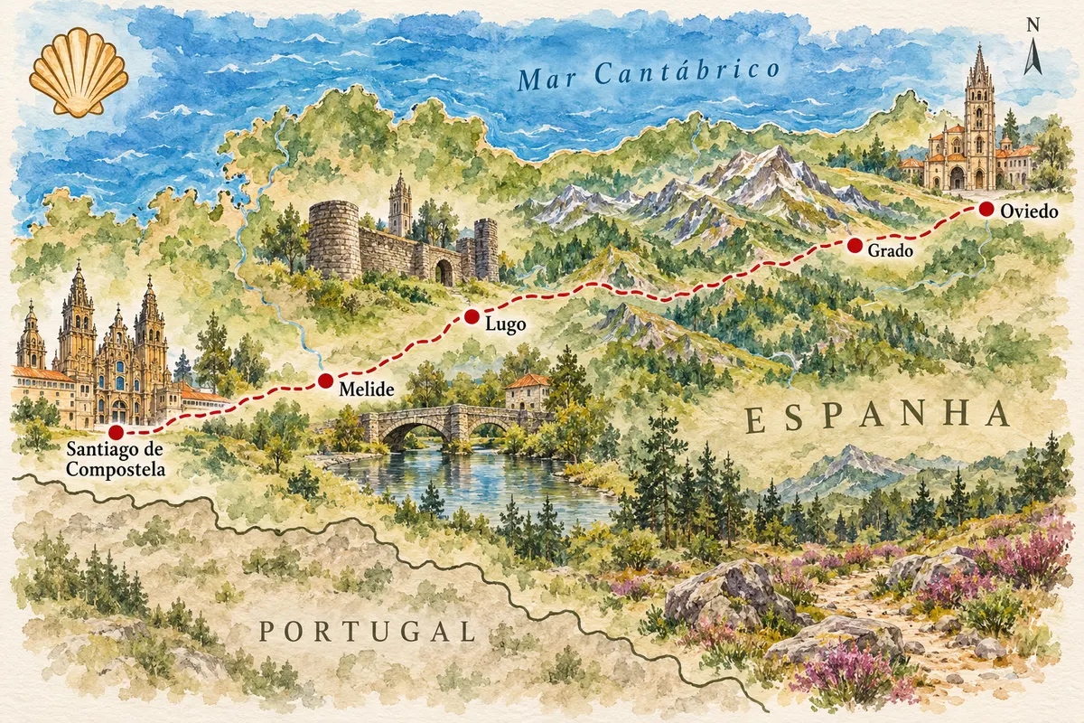
Contornos: IGN/CNIG, unidades administrativas, CC BY 4.0. Adaptação do Cidade Turismo.
The journey
City by city
Distances and times are approximate: check before you set off.
-
 1 · Astúrias
Oviedo
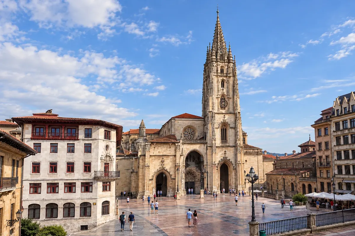
The route begins at the cathedral of San Salvador in Oviedo, where many pilgrims visit the Cámara Santa before setting out. The city, capital of the Astúrias, has the pre-Romanesque churches of Santa María del Naranco and San Miguel de Lillo, a World Heritage Site, and an old town of plazas and cider houses.
→ Grado about 25 km 1 day on foot Oviedo–Grado (about 25 km), through the surroundings of Oviedo and through valleys with ascents and descents.
-
 2 · Astúrias
Grado
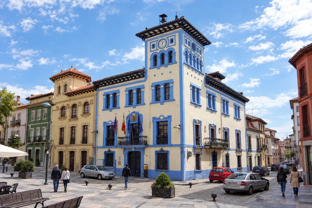
Grado is the first stop, an Asturian village with a street market and stately houses. From here the route enters the mountains via Salas, with its tower and collegiate church, Tineo and Pola de Allande. After Tineo there is a choice between the main route and the Rota dos Hospitais, the higher and more demanding variant.
→ Lugo about 193 km about 8 days on foot Grado–Salas (22 km), Salas–Tineo (19 km), Tineo–Pola de Allande (28 km), Pola de Allande–La Mesa (22 km, via the puerto del Palo), La Mesa–Grandas de Salime (18 km), Grandas–A Fonsagrada (28 km), A Fonsagrada–O Cádavo (23 km) and O Cádavo–Lugo (32 km).
-
 3 · Galícia
Lugo
After the puerto del Palo, Grandas de Salime and A Fonsagrada, already in Galícia, the route reaches Lugo. The city is surrounded by a complete Roman wall, a World Heritage Site, along which you can walk on top. It has a cathedral and a center of plazas and tapas bars. Lugo is about 100 km from Santiago.
→ Melide about 47 km about 2 days on foot Lugo–Ferreira (27 km) and Ferreira–Melide (20 km), through Galician fields and villages.
-
 4 · Galícia
Melide
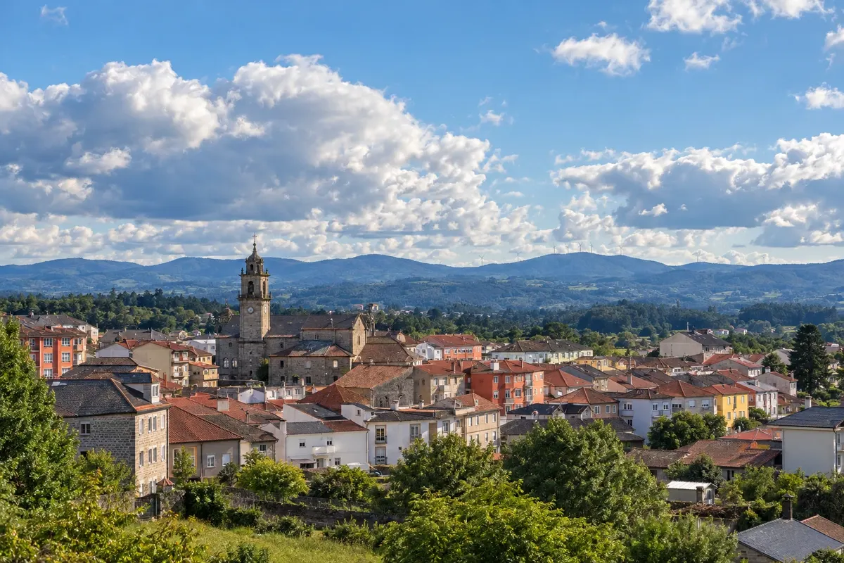
After San Román da Retorta and Ferreira, the route arrives at Melide, where it joins the Caminho Francês. The village is known for pulpo à galega served in the pulperías. From here the route continues through Arzúa and O Pedrouzo, with many pilgrims.
→ Santiago de Compostela about 53 km about 3 days on foot Melide–Arzúa (14 km), Arzúa–O Pedrouzo (20 km) and O Pedrouzo–Santiago (19 km), together with the Caminho Francês.
-
 5 · Galícia
Santiago de Compostela
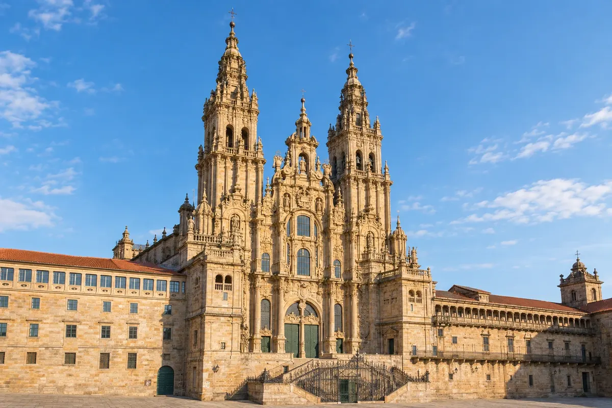
The arrival is via monte do Gozo and the old town to the Plaza del Obradoiro, in front of the cathedral. The Oficina del Peregrino, near the cathedral, issues the Compostela.
How many days
The whole route takes about 2 weeks on foot. From Lugo, about 100 km from Santiago, it is 5 days, the minimum for the Compostela.
Best time to go
From May to September, when the mountains are free of snow and the albergues are open. In winter it can snow on the high sections, such as the puerto del Palo, and fog and rain are frequent. July and August are the most popular months, but the route remains less crowded than the Francês up to Melide.
The seasons shown are the most usual ones; nature doesn't always follow the calendar.
How to travel it
On foot, following the yellow arrows, with a backpack or using a luggage transfer service between stages. Stages range from 14 to 32 km, several of them with big climbs. Carry food and water on mountain stretches, where there are few villages.
Who it's for
For those who are well prepared physically and enjoy mountain terrain, for those who want a quieter route with history, and for those who have already done another route and are looking for a greater challenge.
Your questions
Frequently asked questions about the Caminho Primitivo de Santiago on foot
Why is it called Caminho Primitivo?
Because it is considered the oldest route to Santiago: according to tradition, it was the route of King Afonso II, who left Oviedo in the 9th century to visit the apostle's tomb.
How many kilometers is the Caminho Primitivo?
About 320 km from Oviedo to Santiago, in 13 to 14 stages. From Lugo, about 100 km.
Is the Caminho Primitivo difficult?
It is a mountain route, with steep climbs, isolated stretches and long stages, especially between Tineo and A Fonsagrada. It requires good physical preparation and is not usually recommended as a first route for those who have never done long walks.
What is the Rota dos Hospitais?
It is a high-lying variant across the sierra between Tineo and Pola de Allande, which passes the ruins of former pilgrims' hospitals. It offers wide views, but is isolated and exposed to the weather: avoid it in fog, heavy rain or snow.
Where should you start to obtain the Compostela?
In Lugo or earlier. Lugo is about 100 km from Santiago, the limit required by the Oficina del Peregrino. Check the rules on the Office's website.
Can it be combined with the Caminho do Norte?
Yes. Many pilgrims do the Caminho do Norte from Irún and, in the Astúrias, head to Oviedo and continue along the Primitivo.