

 Brazil
 Argentina
 Chile
Chile Colombia
 Peru
Peru Uruguay
 Germany
 Belgium
 France
 Greece
 the Netherlands
 Ireland
 Italy
Italy Luxembourg
 Portugal
 the United Kingdom
 Switzerland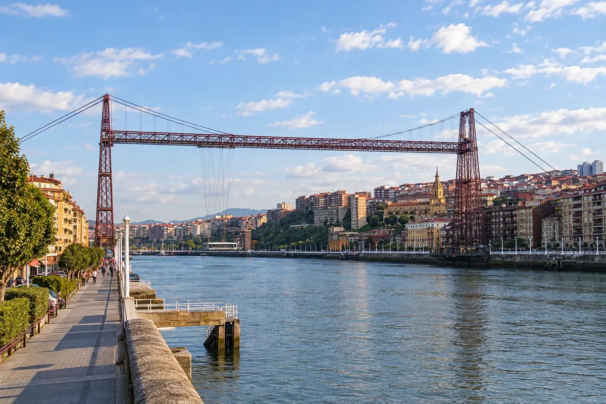
Route · País Basco · Cantábria · Astúrias · Galícia
Northern Way to Santiago on foot
The Camino de Santiago along the Cantabrian coast: from the Basque Country to Galicia on foot, via San Sebastián, Bilbao, Santander and Gijón, between the sea and the green mountains.
In the photo: Ponte Biscaia, between Portugalete and Getxo
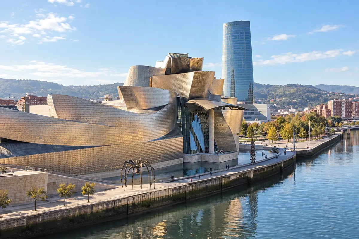
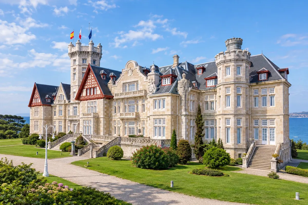
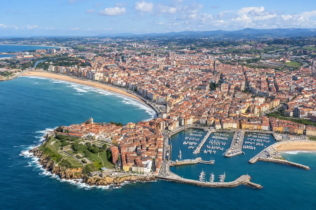
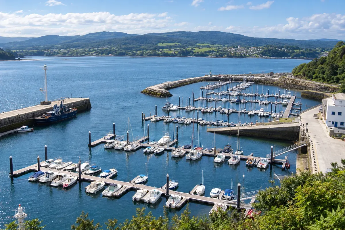
Illustrative images. The pictures in this guide are illustrations based on the real place, not photographs, and may differ from it.

The route
What the Northern Way to Santiago on foot is
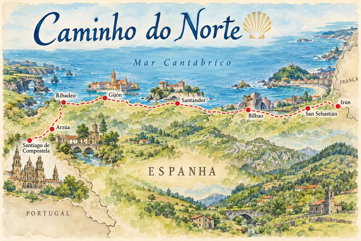
The Northern Way follows the north coast of Spain, from Irún on the border with France to Santiago de Compostela. It's about 820 km in roughly 34 stages, crossing four regions: the Basque Country, Cantabria, Asturias and Galicia. It is recognized by UNESCO as World Heritage, together with the other northern routes of Spain.
The route passes beaches, cliffs, fishing ports and cities such as San Sebastián, Bilbao, Santander and Gijón, with many climbs and descents between valleys that drop to the sea. At Ribadeo it leaves the coast and goes inland through Galicia, via Vilalba and Sobrado dos Monxes, until joining the Camino Francés in Arzúa, two days from Santiago.
It is a more demanding and less crowded route than the French Way, with fewer hostels in some stretches. In Asturias, a variant leaves the coast toward Oviedo and the Camino Primitivo. The route is marked with yellow arrows and the scallop shell.
The map
8 cities along the way
Contornos: IGN/CNIG, unidades administrativas, CC BY 4.0. Adaptação do Cidade Turismo.
The journey
City by city
Distances and times are approximate: check before you set off.
-
 1 · País Basco
Irún
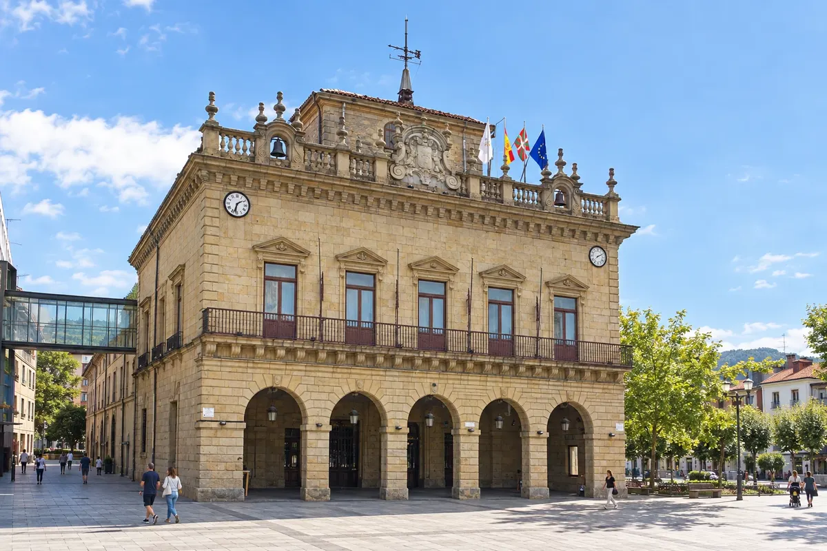
Irún sits on the banks of the Bidasoa river, on the border with France, opposite Hendaye. Many pilgrims start here, obtaining the credential at the hostel or the church. The first stage climbs Monte Jaizkibel and descends to Pasaia, with a boat crossing in the bay.
→ San Sebastián about 25 km 1 day on foot Irún–San Sebastián (about 25 km), via Monte Jaizkibel and Pasaia, with a boat crossing in the bay.
-
 2 · País Basco
San Sebastián
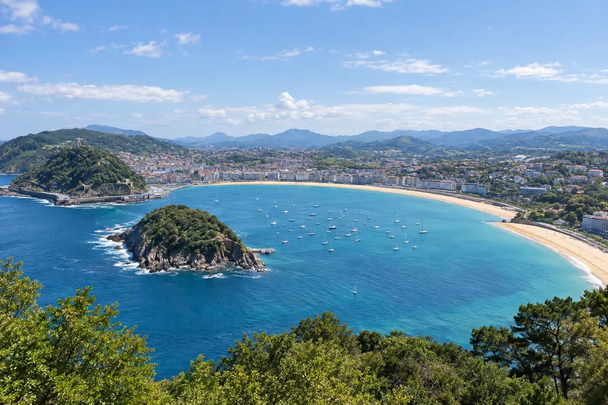
San Sebastián (Donostia) has La Concha bay, an old town full of pintxo bars and Monte Igueldo. After it, the route continues through Zarautz, Getaria and Deba along the Basque coast, then heads inland via Markina and Gernika.
→ Bilbao about 125 km about 6 days on foot San Sebastián–Zarautz (22 km), Zarautz–Deba (21 km), Deba–Markina (22 km), Markina–Gernika (28 km), Gernika–Lezama (20 km) and Lezama–Bilbao (11 km).
-
 3 · País Basco
Bilbao
Bilbao is home to the Guggenheim Museum on the Nervión river and the Casco Viejo, with the Seven Streets. After the city, the route continues through Portugalete, where the Ponte Biscaia (a World Heritage site) is located, and enters Cantabria via Castro Urdiales.
→ Santander about 118 km about 5 days on foot Bilbao–Portugalete (19 km), Portugalete–Castro Urdiales (28 km), Castro Urdiales–Laredo (27 km), Laredo–Güemes (29 km, with a boat to Santoña) and Güemes–Santander (16 km).
-
 4 · Cantábria
Santander
Before Santander, the route passes through Laredo and in some stretches crosses the bay of Santoña by boat. Santander is the capital of Cantabria, with the Magdalena peninsula, the palace of the same name and the Sardinero beaches. From here the route continues through Santillana del Mar, a medieval town near the Altamira caves, and Comillas.
→ Gijón about 209 km about 7 days on foot Santander–Santillana del Mar (39 km), Santillana–Comillas (22 km), Comillas–Colombres (28 km), Colombres–Llanes (22 km), Llanes–Ribadesella (30 km), Ribadesella–Sebrayo (31 km) and Sebrayo–Gijón (36 km).
-
 5 · Astúrias
Gijón
After Llanes and Ribadesella, the route reaches Gijón, the largest city in Asturias, with San Lorenzo beach, the fisherman's quarter of Cimavilla and the Elogio do Horizonte. Before Gijón, a variant heads toward Oviedo and the Camino Primitivo. From here the route continues through Avilés, Luarca and the western coast of Asturias.
→ Ribadeo about 149 km about 7 days on foot Gijón–Avilés (25 km), Avilés–Muros de Nalón (21 km), Muros–Soto de Luiña (15 km), Soto de Luiña–Cadavedo (19 km), Cadavedo–Luarca (16 km), Luarca–La Caridad (31 km) and La Caridad–Ribadeo (22 km).
-
 6 · Galícia
Ribadeo
Ribadeo is the first Galician town on the route, on the other side of the Ría de Eo, crossed by the ponte dos Santos. Nearby is the Playa de las Catedrales, with stone arches that appear at low tide. From here the route leaves the sea and goes inland through Galicia, via Lourenzá, Vilalba and Sobrado dos Monxes.
→ Arzúa about 158 km about 6 days on foot Ribadeo–Lourenzá (30 km), Lourenzá–Gontán (25 km), Gontán–Vilalba (23 km), Vilalba–Baamonde (19 km), Baamonde–Sobrado dos Monxes (40 km) and Sobrado–Arzúa (22 km).
-
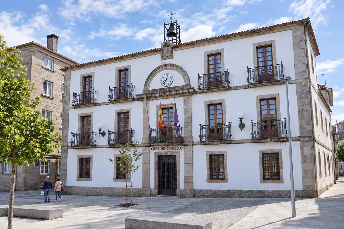 7 · Galícia
Arzúa
Arzúa is a Galician town known for its cheese of the same name. Here the Northern Way joins the Camino Francés, and the number of pilgrims increases. About 39 km remain, via O Pedrouzo, to Santiago.
→ Santiago de Compostela about 39 km about 2 days on foot Arzúa–O Pedrouzo (19 km) and O Pedrouzo–Santiago (20 km), together with the Camino Francés.
-
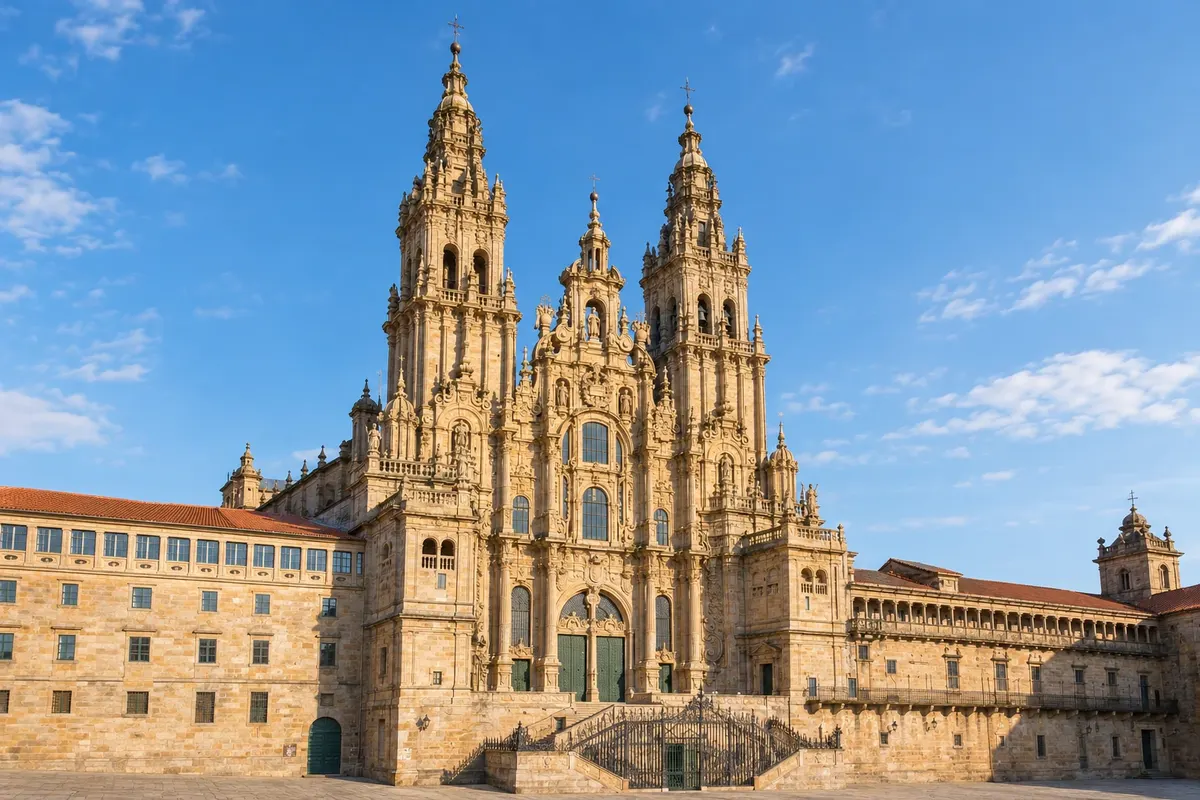 8 · Galícia
Santiago de Compostela
The arrival is via monte do Gozo and the old town to the Plaza del Obradoiro, in front of the cathedral. The Oficina del Peregrino, near the cathedral, issues the Compostela.
How many days
The entire route takes about 5 to 6 weeks on foot. Many do it in parts: the Basque Country in about 1 week, from Irún to Bilbao; or the final 100 km, starting from Vilalba, in 5 to 6 days to qualify for the Compostela.
Best time to go
From May to September, when it rains less on the north coast and the hostels are open. July and August are the driest months, but the seaside towns get crowded and more in demand. The Cantabrian coast sees rain for much of the year; bring a raincoat even in summer.
The seasons shown are the most usual ones; nature doesn't always follow the calendar.
How to travel it
On foot, following the yellow arrows, carrying your backpack or using a luggage transfer service between stages. Stages generally range from 11 to 40 km; some require good fitness. In some rivers and rías, crossings are made by boat, as between Santoña and Laredo.
Who it's for
For those who have already done the French Way and want a different route, for those who enjoy walking near the sea with many climbs, and for those who want to visit the northern cities of Spain along the way.
Your questions
Frequently asked questions about the Northern Way to Santiago on foot
How many kilometers long is the Camino del Norte?
About 820 km from Irún to Santiago, in roughly 34 stages. Distances vary slightly depending on the source and the chosen variants.
Is the Camino del Norte harder than the French Way?
It is generally considered more demanding because of the constant climbs and descents between valleys and the asphalt stretches, and it has fewer hostels in some sections. In return, it's less crowded.
Where should you start to obtain the Compostela?
In Vilalba or earlier, about 120 km from Santiago. Baamonde is about 100 km away, at the limit. Check the rules on the Pilgrim's Office website.
Can it be combined with the Camino Primitivo?
Yes. In Asturias, before Gijón, a variant branches off toward Oviedo, from where the Camino Primitivo departs inland toward Lugo and Melide.
Do you need to reserve the hostels?
Public hostels usually operate on a first-come, first-served basis, without reservations, and only for those who have a credential. In summer, in beach towns, demand is high: book private ones in advance.
Are there boat crossings?
Yes, at some points, such as in the baía de Pasaia and between Laredo and Santoña. Schedules change depending on the season: check the day before.