

 Brazil
 Chile
Chile Colombia
 Peru
Peru Uruguay
 Germany
 Belgium
 Spain
Spain France
 Greece
 the Netherlands
 Ireland
 Italy
Italy Portugal
 the United Kingdom
 Switzerland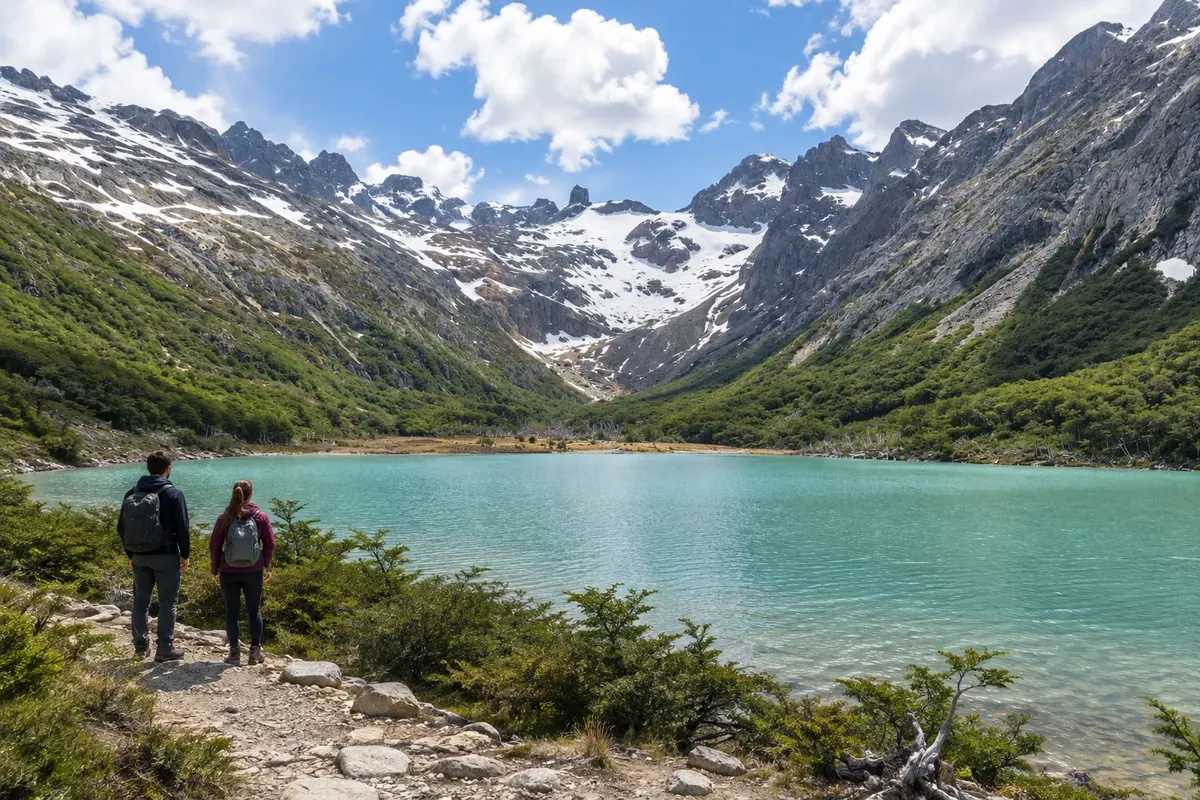
Trail · Ushuaia, Terra do Fogo
Laguna Esmeralda
Glacial-origin lake in Valle Tierra Mayor, reached by a hike through lenga forest, peatlands and slopes.
Illustrative images. The pictures in this guide are illustrations based on the real place, not photographs, and may differ from it.

Discover
About Laguna Esmeralda
Laguna Esmeralda is located in the Valle Tierra Mayor Natural and Scenic Reserve, northeast of Ushuaia. The trail starts beside Ruta Nacional 3 and goes through lenga forest before crossing peatland areas. The final ascent leads to the lake, surrounded by the mountains of Sierra Alvear.
Sediments carried by the Glaciar Ojo del Albino contribute to the greenish color of the water. The official route is roughly nine kilometers round trip. The hike is not equivalent to climbing up to the glacier: that requires experience, technical equipment and specialized guides.
Plan for a morning and part of the afternoon, allowing for waterlogged terrain. Between November and March the longer daylight hours usually make planning easier; from June to September snow and ice can change the route's demands. Wear boots suitable for wet ground, follow the trail markers and avoid stepping off the path in the peatlands.
Before you go
Practical information
Cidade Turismo reviews its information regularly, but something may have changed. Check with the place before planning your trip.
How much time to set aside
Generally, four to five hours of hiking round trip, plus transport time from Ushuaia.
Best time
From November to March there is more daylight for the hike. Check conditions before you set out and adjust the route if there is mud, snow or ice.
How to get there
The trailhead is on Ruta Nacional 3, about 18 km from Ushuaia. Arrange a vehicle or transfer to the parking area and pickup for the return.
Tip
Do not confuse the hike to the lagoon with the technical access to the Glaciar Ojo del Albino.
Official website
Get your questions answered
Frequently asked questions about Laguna Esmeralda
Is Laguna Esmeralda inside the national park?
No. It is in the Reserva Natural y Paisajística Valle Tierra Mayor, accessible via Ruta Nacional 3.
What is the distance of the hike?
The official trail is about nine kilometers round trip. Duration depends on the terrain and the group's pace.
Can I go in casual sneakers?
The route crosses wet terrain and peat bogs. Prefer hiking boots, waterproof clothing, and poles as needed.