Serra do Cipó

MG · Brazilija

Serra do Cipó

Waterfalls, rupestrian fields and villages in the mountains of Minas.

Southeast

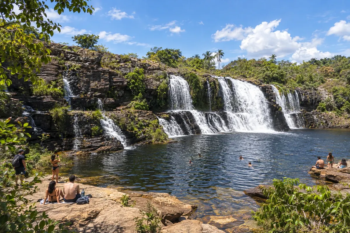
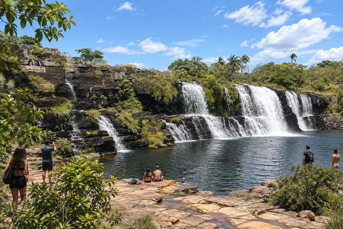
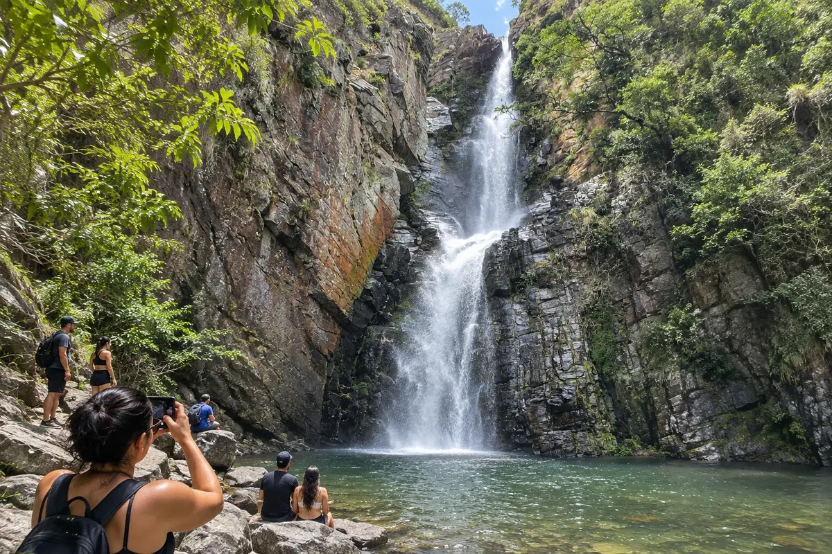
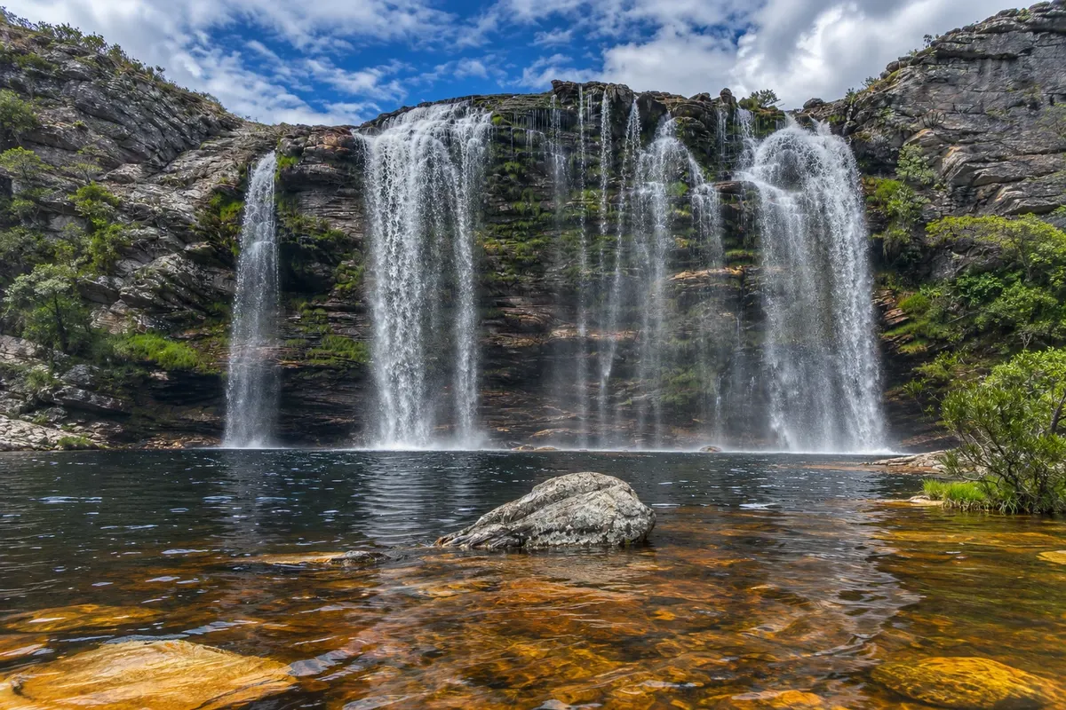
Na fotografiji: Cachoeira Grande, Serra do Cipó, Santana do Riacho - MG

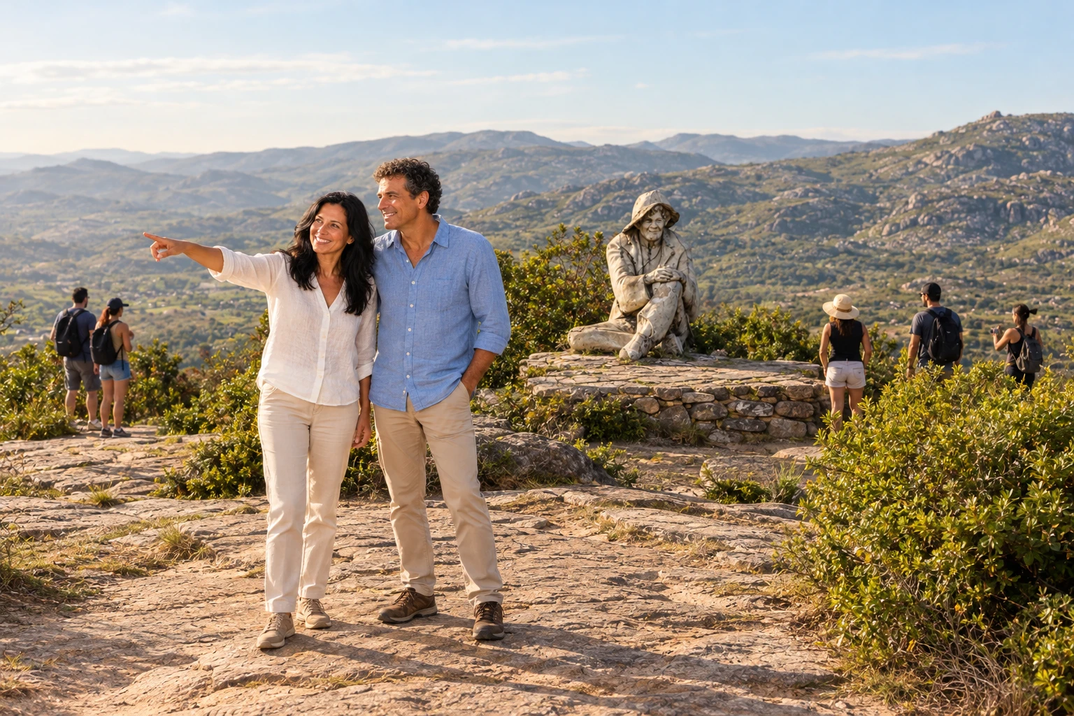
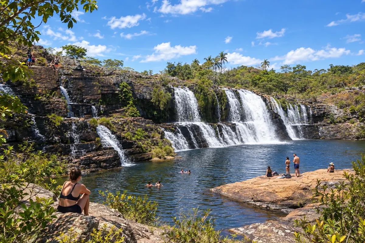
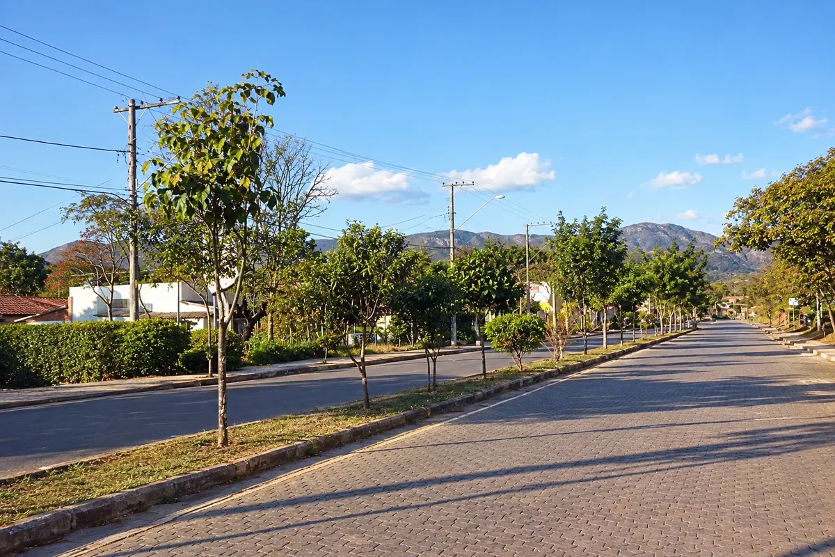
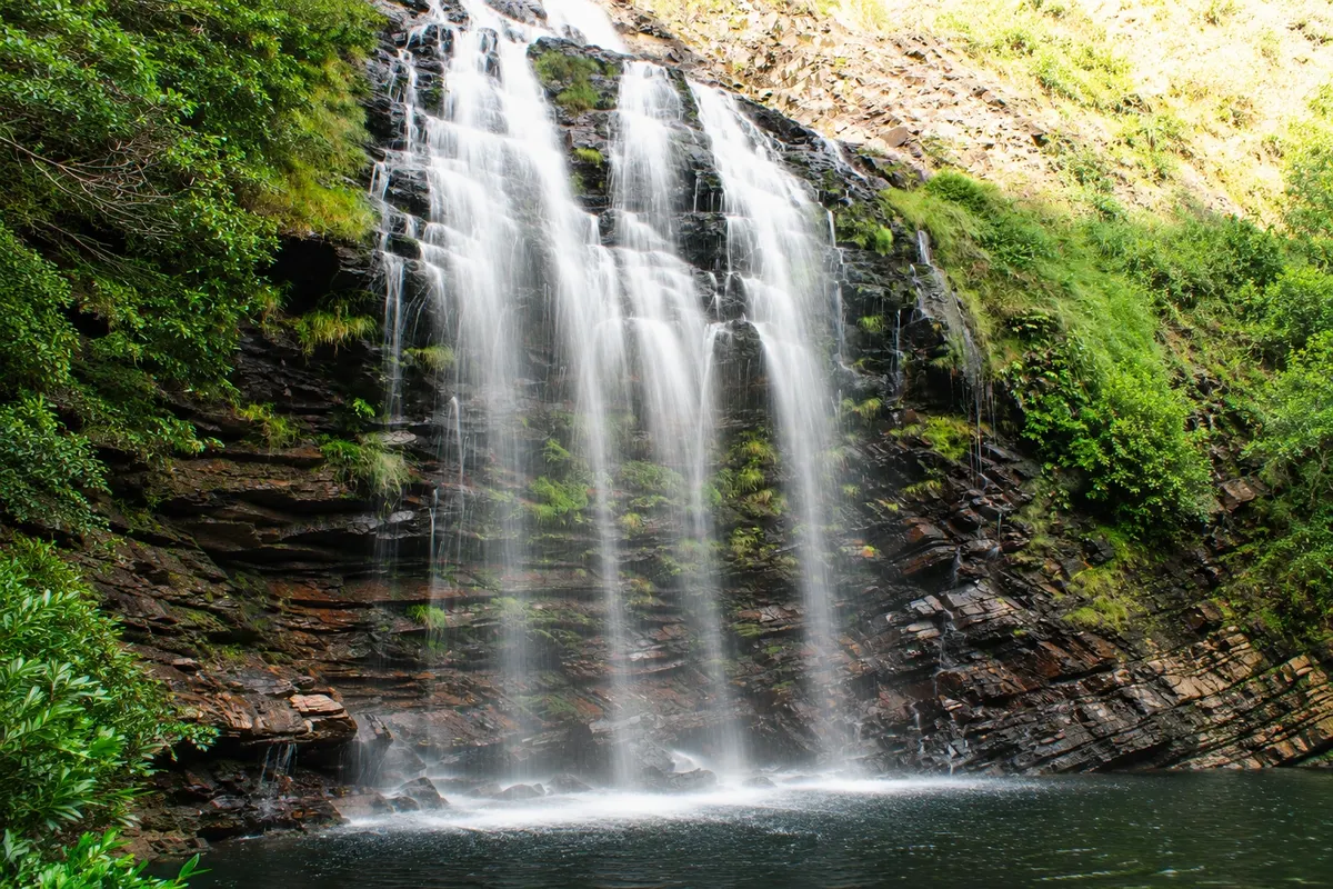
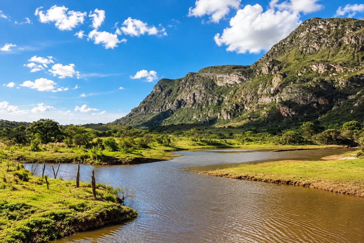
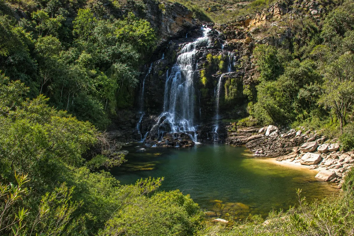
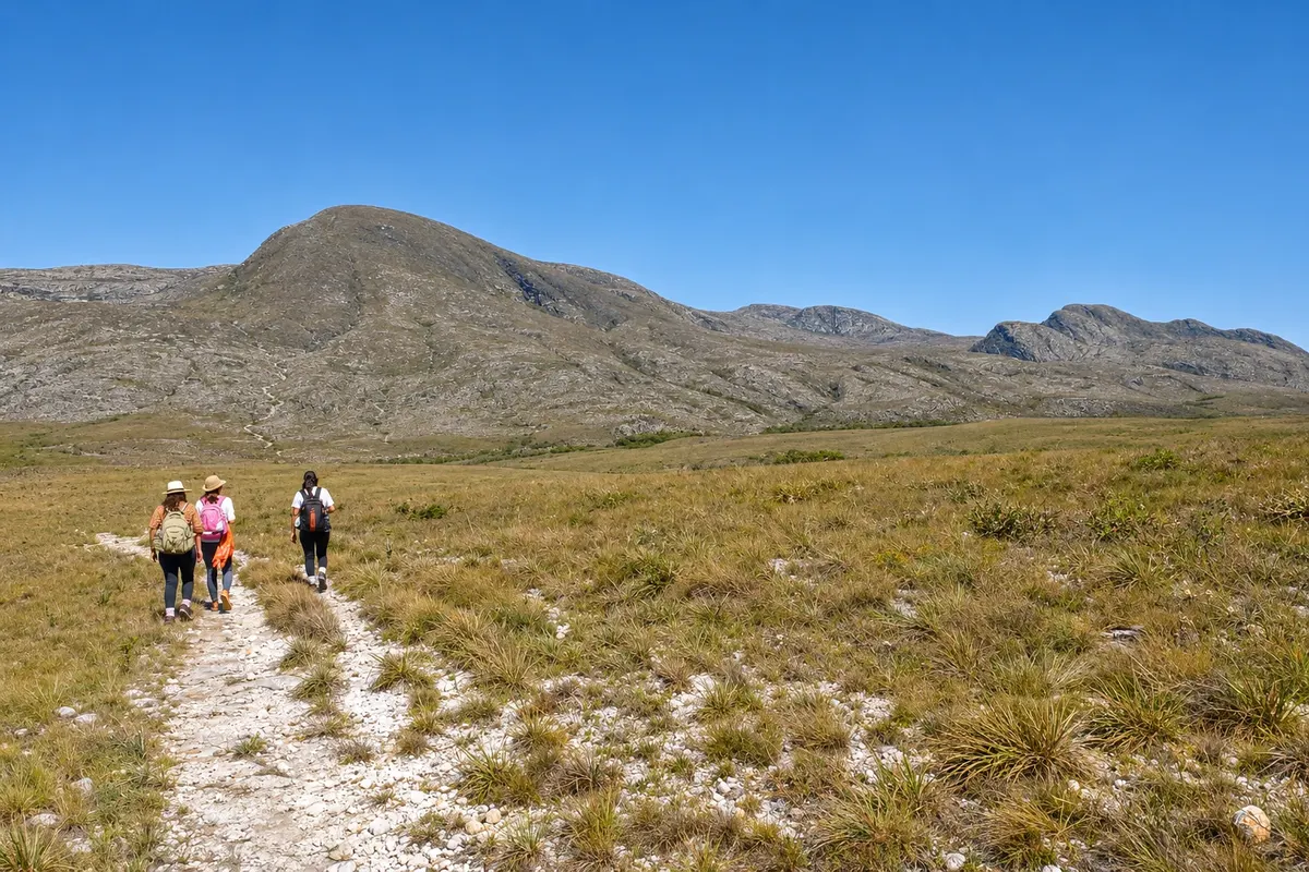
Illustrative images. The pictures in this guide are illustrations based on the real place, not photographs, and may differ from it.

Na voljo v trgovini Google Play Pošljite svoje fotografije

Spoznajte kraj

Pokrajina, ki jo doživite
v svojem ritmu.

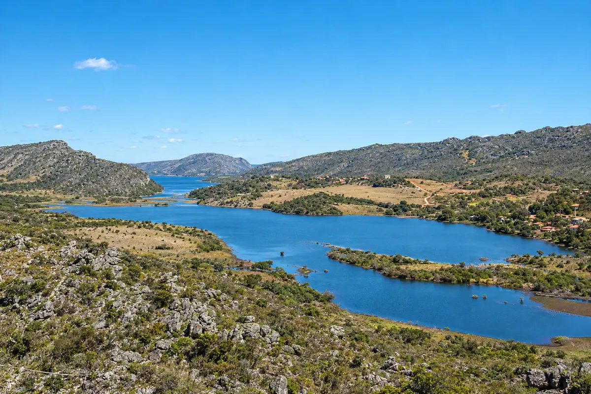
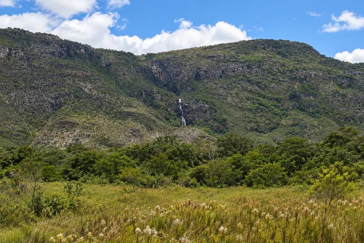
Serra do Cipó offers mountain scenery, rivers, waterfalls and vegetation of campos rupestres. Santana do Riacho brings together different bases for exploring this territory, between the distrito da Serra do Cipó, the main town and Lapinha da Serra.

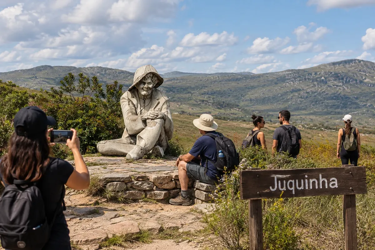
Cachoeira Grande and Véu da Noiva offer water experiences with different characteristics. The Estátua do Juquinha is part of the local cultural memory, while Lapinha lets you get to know another village and its mountain landscape.

Choose routes according to the group's disposition and the weather forecast. Transfers between the nuclei need to be planned; long trails and crossings require guidance and proper scheduling, without improvising the return at the end of the day.

This destination brings together 3 cities: Santana do Riacho, Serra do Cipó, Lapinha da Serra.

Delite: WhatsApp

Fotografije popotnikov

Serra do Cipó skozi oči popotnikov

Serra do Cipó
Ilustrativna slika
Serra do Cipó
Ilustrativna slika
Delite svoja popotniška doživetja s fotografijami Pošljite fotografije vsakega kraja, ki ste ga obiskali. Največje število fotografij na kraj: 5.

Ena destinacija, več poti

Mesta na tej poti

Začnite v enem mestu ali v načrt poti vključite več mest.

Serra do Cipó – lega The star marks the nearest capital, Belo Horizonte.
Belo HorizonteSantana do Riacho

Zemljevid: @svg-maps/brazil, CC BY 4.0

Kako do tja:Serra do Cipó

✈ Aeroporto Internacional de Belo Horizonte – Tancredo Neves (CNF), kraj: Confins

Belo Horizonte or Confins airport, continuing via MG-010. Serra do Cipó, the seat of Santana do Riacho and Lapinha are different bases and require additional legs.

Predlagana točka prihoda:Santana do Riacho

Doživite kraj

Kaj početi – Serra do Cipó

Lapinha da Serra · MG · Gora

Pico da Lapinha

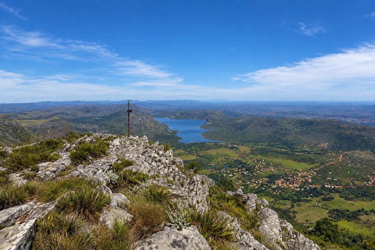
Peak of about 1,686 meters just above the village, the second highest in Serra do Cipó, with a summit cross. The trail climbs the slope and shows the lagoon, the village and the range.

Raziščite Pico da Lapinha

Serra do Cipó – prikaži dodatne kraje (8)
Serra do Cipó · MG · Slap

Farofa Waterfall

A high fall inside Serra do Cipó National Park, with a swimming pool at the end of a long, mostly flat trail that departs from the Areias Gate. The path crosses rupestrian fields and small riparian woods along the streams.

Raziščite Farofa Waterfall

Lapinha da Serra · MG · Lagoon

Lagoa da Lapinha

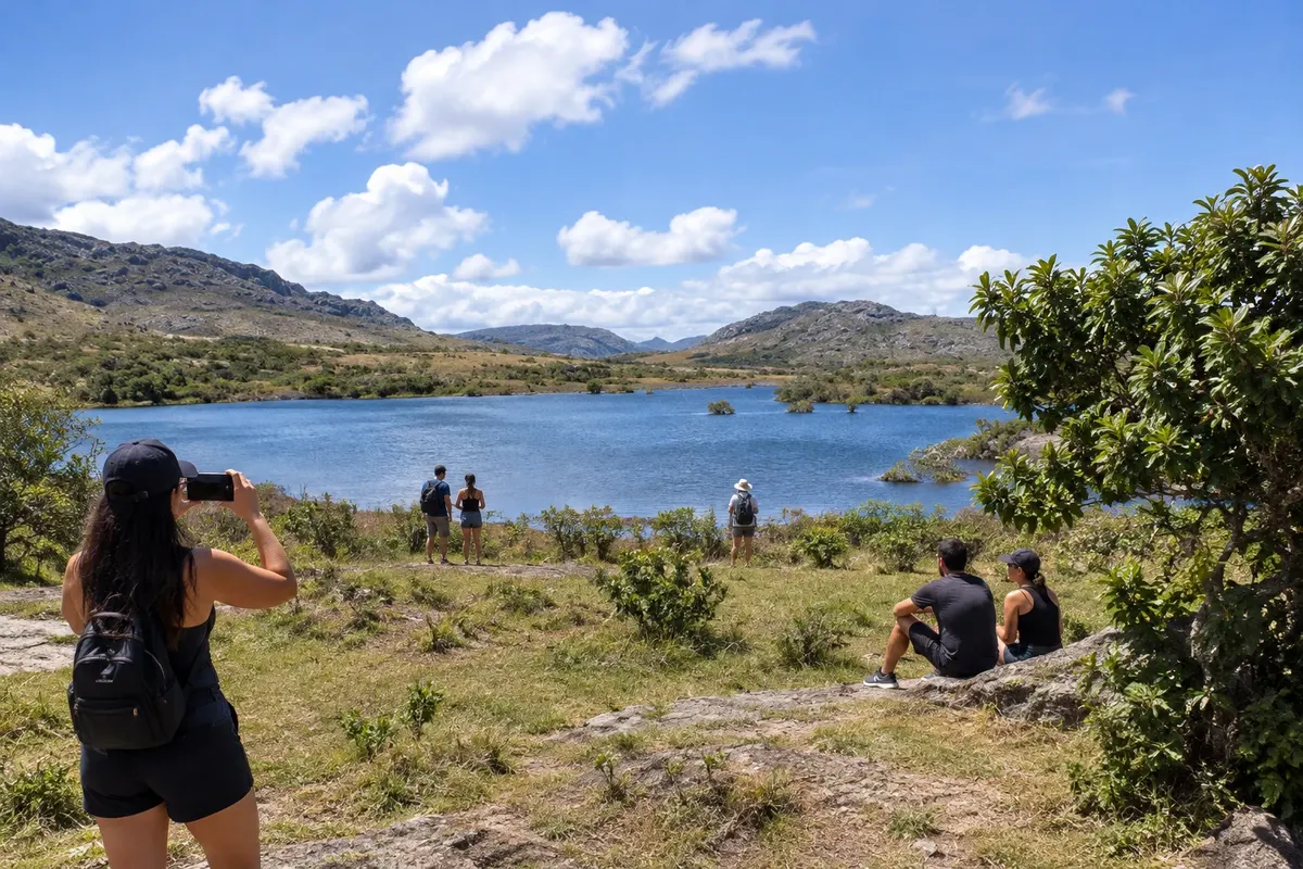
A reservoir built in the 1950s that surrounds the village at the foot of the range. It allows swimming, kayaking and paddleboarding, and on the other side of the water there is a site with rock paintings.

Raziščite Lagoa da Lapinha

Serra do Cipó · MG · Slap

Serra Morena Waterfall

A set of three falls and pools on a stream in the Mata-capim region, north of the village of Serra do Cipó, on private land with parking, restrooms and a restaurant. The trails between the pools are short.

Raziščite Serra Morena Waterfall

Lapinha da Serra · MG · waterfall

Bicame Waterfall

High drop over a rock face, with a large deep pool, north of the village of Lapinha da Serra, inside the Brumas do Espinhaço private natural reserve. You reach it by road and by a long trail, with controlled entry.

Raziščite Bicame Waterfall

Lapinha da Serra · MG · waterfall

Lajeado Waterfall

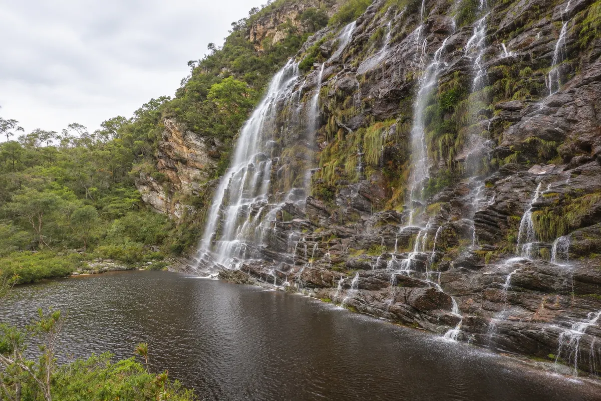
A high rock wall where water flows down in several streams into a large pool, southeast of the village of Lapinha da Serra. The trail is long but easy, across fields and farm gates.

Raziščite Lajeado Waterfall

Lapinha da Serra · MG · long-distance trail

Lapinha-Tabuleiro Crossing

A two- or three-day on-foot crossing of the Serra do Espinhaço, from the village of Lapinha da Serra to Cachoeira do Tabuleiro, in Conceição do Mato Dentro. It’s about 35 to 40 km across campos rupestres, usually done with a local guide.

Raziščite Lapinha-Tabuleiro Crossing

Kaj izbrati pred odhodom

Izleti – Serra do Cipó

Izhodišče, trajanje, potek, vključene storitve in okvirna cena vsakega izleta.

Cachoeira da Farofa, in Serra do Cipó National Park

Odhod: Areias Gate of Serra do Cipó National Park On foot or by bicycle, with or without a guide about 4 hours on foot, round trip, not counting time at the pool Ves dan Zmerno zahtevno

Cachoeira da Farofa is the most visited destination in Serra do Cipó National Park, managed by ICMBio. The trail starts at the Areias entrance station, a few kilometers on a dirt road from km 92 of MG-010, before the bridge over the Rio Cipó. The entrance has parking, restrooms and a water fountain. It is about 7 to 8 km one way, almost always flat, across campos rupestres and stretches of riparian forest, with little shade. Along the way, the crossing of Córrego das Pedras is done over stone slabs. The fall drops down a quartzite cliff and forms a pool for swimming. The trail is well marked and can be done without a guide. The wide path is also used by regular bicycles, which shortens the trip considerably; the last stretch to the pool must be done on foot. Entry through the gate has a daily visitor limit, on a first-come, first-served basis, and there is a latest start time for beginning the trail.

Kraji na poti: Serra do Cipó National Park, Areias Entrance Station, Córrego das Pedras, Cachoeira da Farofa, Rio Cipó.

Vključuje: Access via the Areias gate, with parking, restrooms and a water fountain. There is no food or water for sale along the trail.

Nasvet: Arrive early, especially on holidays: the daily quota at the gate may fill up first thing in the morning. Bring photo ID, water, snacks, sunscreen and a hat. Domestic animals, loud music, fires and drones without authorization are not allowed. On a day of heavy rain the park may close the trail without prior notice; if the river starts to rise, get out of the water immediately.

Najboljši čas za obisk: May to September, with dry days and firm trail. From November to March it rains more, the waterfalls usually have more water and the park closes trails on stormy days.

Bandeirinhas Canyon, in Serra do Cipó National Park

Odhod: Areias Gate of Serra do Cipó National Park On foot or by bicycle to the canyon entrance; guide recommended most of the day, round trip Ves dan difficult

Bandeirinhas Canyon is a narrow valley between quartzite cliffs, with dark water pools and small cascades along the bed. Access starts from the Areias Gate and follows the same trail as Cachoeira da Farofa for much of the route, then branches off toward the canyon entrance. It is a longer and more tiring walk than Farofa, with strong sun most of the time, a crossing of a shallow river with slippery rocks and sections along the canyon bed itself. Many visitors combine both attractions in one day by leaving very early, or do the first part by bicycle to save time. The trail is marked but requires good physical fitness. For those unfamiliar with the park, going with an accredited local guide helps judge return time before the gate closes.

Kraji na poti: Serra do Cipó National Park, Areias Gate, Cachoeira da Farofa, Bandeirinhas Canyon.

Vključuje: Access via the Areias Gate, with parking and restrooms. Local guides are hired separately, in the village or through Serra do Cipó agencies.

Nasvet: Start the trail right at the gate opening. Bring at least 2 liters of water per person, a substantial snack and shoes with good grip. Inside the canyon, water rises quickly when it rains in the mountains: if you see signs of rain, turn back. There is no mobile signal for much of the route.

Najboljši čas za obisk: May to September, with less rain and lower rivers for crossings. From November to March the trail is often closed on days of heavy rain.

Cachoeira Grande, on the Rio Cipó

Odhod: Serra do Cipó district, in Santana do Riacho Private car to the entrance and a short walk half day on site Dopoldne ali popoldne Lahko

Cachoeira Grande is a wide, low waterfall on the Rio Cipó, about 10 m high, with a large swimming hole. It is on private property, with access from MG-010 near km 95, and a trail of about 1 km from the parking lot. It is one of the easiest waterfalls in the region and receives many families. Entrance is paid, with a daily limit on visitors. There is no restaurant on site, and alcoholic beverages, open fires, camping and animals are not allowed. It is possible to go out for lunch in the district and return the same day. On the river above the fall there is a guided kayak tour; ask at the entrance whether one is scheduled for the day.

Kraji na poti: Cachoeira Grande, Rio Cipó, MG-010, Serra do Cipó.

Vključuje: Separate paid entrance per person; check the current rate table. Parking on site.

Nasvet: On weekends and holidays, arrive early because of the visitor limit. Bring snacks and water. It’s a good option for your arrival or departure day due to its proximity to the highway.

Najboljši čas za obisk: Open year-round. From May to September the water is clearer and there is less rain; from November to March the river usually has more water and visits may be suspended on stormy days.

Cachoeira Véu da Noiva, in Serra do Cipó

Odhod: Serra do Cipó district, in Santana do Riacho Private car to the entrance and a short walk a few hours on site Dopoldne ali popoldne Lahko

Cachoeira Véu da Noiva is inside the campground area of the Young Men’s Christian Association (ACM), near the end of the Serra do Cipó district. From the entrance to the fall it is about 400 m of trail, with stairs and sections with handrails. The water drops from a high rock face into a large, deep pool. Entrance is paid, with full-day and shorter hourly options. The campground has a snack bar, restaurant and restrooms. In the dry season the fall becomes thinner. If you want to walk a bit more you can reach it via the Trilha dos Escravos, a stone path of just over 2 km that starts near the ACM gate.

Kraji na poti: Cachoeira Véu da Noiva, Young Men’s Christian Association (ACM), Trilha dos Escravos, Serra do Cipó.

Vključuje: Separate paid entrance, with different rates for full-day and hourly visits; check the current rate table. Snack bar, restaurant and restrooms at the campground.

Nasvet: The swimming hole is deep: if you are not a strong swimmer stay in the shallow area. On holidays the place tends to get crowded; prefer weekdays or early morning.

Najboljši čas za obisk: Open year-round. From November to March the fall usually has more water; from May to September the weather is drier and more stable.

Serra Morena Waterfalls

Odhod: Serra do Cipó district, in Santana do Riacho Own car, with a stretch of dirt road most of the day on site Ves dan Lahka do srednje zahtevna pot

Serra Morena is a group of three waterfalls inside a farm, about 15 km from the center of the Serra do Cipó district, with roughly 6 km of dirt road along Estrada do Vau da Lagoa. Admission is charged and covers all three falls. The most visited is Serra Morena 2, about 40 m high, with a swimming pool and shaded rocks around. The descent to it takes about 15 minutes and includes a steep stair on the hill. The property has a restaurant, restrooms and parking, which makes it possible to spend the whole day there.

Kraji na poti: Serra Morena, Estrada do Vau da Lagoa, Santana do Riacho.

Vključuje: Separate paid entry per person; check the current fee schedule. Restaurant, restrooms and parking on the property.

Nasvet: The return up the stairs is tiring in the heat: save energy and water for the climb. Ask at the entrance about adventure activities offered that day, such as rappelling.

Najboljši čas za obisk: All year. The dirt road is firmer from May to September; from November to March the falls usually carry more water.

Vale do Travessão and Alto Palácio, in Serra do Cipó National Park

Odhod: Portaria Alto Palácio, on MG-010, above the Serra do Cipó district Own car to the park gate and hiking on foot, preferably with a guide most of the day, including the driving section Ves dan Srednje zahtevna do zahtevna

Portaria Alto Palácio is in the high part of the serra, on MG-010, after the Estátua do Juquinha, heading toward Conceição do Mato Dentro. It is the entrance to the park’s high-altitude campos. From there departs the Vale do Travessão trail, a deep valley cut into the rock that marks the divide between the São Francisco and Doce river basins. The route is long, in open campo, without shade, with rock paintings along the way. From the same gate you can reach Cachoeira Congonhas, a sequence of falls on the high serra. ICMBio recommends a licensed guide for these trails. There is no cell signal for most of the route, and rescue takes a long time to reach the area.

Kraji na poti: Serra do Cipó National Park, Portaria Alto Palácio, Vale do Travessão, Cachoeira Congonhas, Estátua do Juquinha, MG-010.

Vključuje: Access via Portaria Alto Palácio. Local guide contracted separately. There is no commerce or potable water on the trail.

Nasvet: At the high part it is cold in the morning and very windy: bring warm clothing, plus sunscreen and plenty of water. Leave the district early, because there is a drive to the gate before the walk. On the return, stop at the Estátua do Juquinha by the MG-010.

Najboljši čas za obisk: May to September, with clearer skies and a dry trail. From November to March fog and rain usually close the views and trails.

Prikaži dodatne izlete (7)

Areias–Lagoa Dourada–São José da Serra crossing, in the National Park

Odhod: Areias Gate of Serra do Cipó National Park On foot, with park authorization and recommended guide 2 days and 1 night Ves dan difficult

The crossing cuts through the park for about 25 km, from the Areias entrance to São José da Serra, a district of Jaboticatubas. The first day passes by Cachoeira Capão dos Palmitos and ends at the Lagoa Dourada camping area; the second descends through canyons and waterfalls down to the village. All park crossings require prior authorization from the administration, requested by email, which provides the route and current notices. Overnight stays are in tents, and the park limits the number of people per night according to the camping area's capacity. Other crossings start from Alto Palácio, heading to Serra dos Alves, Cabeça de Boi and Altamira.

Kraji na poti: Serra do Cipó National Park, Areias entrance, Cachoeira Capão dos Palmitos, Lagoa Dourada, São José da Serra, Jaboticatubas.

Vključuje: Authorization from ICMBio. Guide, porters and return transport are contracted separately with local agencies and guides.

Nasvet: A backpack easily exceeds 20 kg with tent, sleeping bag, food and water: train beforehand. Bring a way to treat water. Arrange return transport from São José da Serra to the village in advance.

Najboljši čas za obisk: May to September, with cold nights and little rain. From November to March crossings are often suspended during periods of heavy rain.

Lapinha da Serra and Pico da Lapinha

Odhod: Serra do Cipó District or the seat of Santana do Riacho Private car, with final stretch on a dirt road about 3 hours for the ascent and descent of the peak Ves dan Srednje zahtevna do zahtevna

Lapinha da Serra is a village of a few hundred inhabitants in the municipality of Santana do Riacho, on the edge of Lagoa da Lapinha, a reservoir formed in the 1950s. From the Serra do Cipó district the route goes to the seat of Santana do Riacho and continues on a dirt road to the village, a little over 40 km. The best-known trail climbs Pico da Lapinha, at about 1,686 m altitude, with a cross on the summit from where you can see the village and the lagoon. The hike starts at the village square and passes Poço da Pedra and Cachoeira do Rapel, on private land with paid entrance. The neighboring Pico do Breu, at about 1,687 m, has a steeper ascent. You can swim in the lagoon and rent kayaks and stand-up paddleboards. The village has inns, small restaurants and a visitor center, but no bank or pharmacy.

Kraji na poti: Lapinha da Serra, Santana do Riacho, Pico da Lapinha, Pico do Breu, Lagoa da Lapinha, Poço da Pedra, Cachoeira do Rapel.

Vključuje: Access to the village is free. Trails that cross private properties charge separate entrance fees; check the current fee table. Guide hired in the village.

Nasvet: The dirt stretch becomes difficult on rainy days; check the road before you drive up. Bring cash, because the village has no bank. The trail to the peak is not recommended for small children; go with a guide or with the route recorded on your GPS.

Najboljši čas za obisk: May to September, with clearer skies at the top of the peak and firmer road. From November to March it rains more and mist often covers the peaks.

Rock paintings of Lapinha da Serra

Odhod: Lapinha da Serra visitor center Boat across the lagoon or on foot, depending on the water level, with a guide a few hours, including the route across the lagoon Dopoldne ali popoldne Lahko

On the cliffs around Lagoa da Lapinha there are rock paintings about 7,000 years old. Visits are made with a guide hired at the village visitor center. When the lagoon is full, the route to the site is by boat, operated by local residents; in the dry season, part of the journey is made on foot along the shore. The outing is short and pairs well with the hike up Pico da Lapinha or an afternoon of kayaking on the lagoon.

Kraji na poti: Lapinha da Serra, Lagoa da Lapinha, Lapinha archaeological site.

Vključuje: Guide and boat hired separately in the village.

Nasvet: Do not touch the paintings or wet the rock to photograph. Ask at the visitor center about access conditions that day, because the route changes with the lagoon’s level.

Najboljši čas za obisk: All year. From December to April the lagoon is usually fuller and the access is by boat; from July to October part of the route is usually on foot.

Cachoeira do Bicame, in the Brumas do Espinhaço Private Natural Heritage Reserve (RPPN)

Odhod: Lapinha da Serra On foot, guide recommended most of the day, round trip Ves dan Zmerno zahtevno

Cachoeira do Bicame is inside the Brumas do Espinhaço RPPN, a private reserve near Lapinha da Serra. The fall is about 30 m with a pool for swimming. The trail is between 8 and 9 km one way, across campos and stretches of forest. The reserve limits the number of visitors per day, and entry is purchased in the village before starting the trail, not at the waterfall. Entry times are restricted to early in the day.

Kraji na poti: Cachoeira do Bicame, Brumas do Espinhaço RPPN, Lapinha da Serra.

Vključuje: Reserve entrance paid separately, purchased in the village; check the current fee table. Guide hired separately.

Nasvet: Secure entry the day before, as spots are few. Bring water and snacks: there are no facilities on the trail.

Najboljši čas za obisk: May to September, with a dry trail. From November to March the fall usually has more water, but the trail becomes slippery and may be closed on rainy days.

Lapinha–Tabuleiro crossing

Odhod: Lapinha da Serra, in Santana do Riacho On foot, with a local guide and support vehicle 2 to 3 days Ves dan difficult

The Lapinha–Tabuleiro Crossing crosses the Serra do Espinhaço from Lapinha da Serra to the district of Tabuleiro, in Conceição do Mato Dentro, and ends at Cachoeira do Tabuleiro. It spans 30 to 40 km, depending on the route chosen, done in 2 or 3 days across campos rupestres, rivers and plateaus, with almost no shade. The route does not have continuous trail marking, and a local guide is considered indispensable. village guides usually organize overnight stays in residents’ homes or in camping areas and a support vehicle for the return from Conceição do Mato Dentro.

Kraji na poti: Lapinha da Serra, Serra do Espinhaço, Tabuleiro, Cachoeira do Tabuleiro, Conceição do Mato Dentro.

Vključuje: Guide, overnight stay and return transport contracted separately, with guides and agencies from Lapinha da Serra and Serra do Cipó.

Nasvet: Agree with the guide what is included: meals, tent, baggage transport and return. Bring warm clothing for cold mountain nights and a rain cover in any month.

Najboljši čas za obisk: May to September, with little rain and lower rivers for crossings. Avoid from November to March.

Tabuleiro Waterfall, in Conceição do Mato Dentro

Odhod: Serra do Cipó district (round trip) or Conceição do Mato Dentro Own car or guided tour about 3 hours on the Poço Trail, round trip, plus the road Ves dan Zmerno zahtevno

Tabuleiro Waterfall has a 273 m free fall and is the highest in Minas Gerais. It lies in the Parque Natural Municipal do Tabuleiro, adjacent to the Parque Estadual da Serra do Intendente, about 19 km from Conceição do Mato Dentro on dirt road to the Tabuleiro district, and another roughly 2 km to the park headquarters. From Serra do Cipó, follow MG‑010 to Conceição do Mato Dentro. There are three routes. The Mirante Trail is about 700 m and leads to a frontal viewpoint of the fall. The Poço Trail follows the riverbed, with slippery rocks, to the pool at the base of the waterfall, taking about an hour and a half of walking. The Alto Trail, longer, goes to the top of the fall. The park charges a visitation fee, limits the number of visitors per day and only opens the trails in favorable weather. The area has monitoring of the cliff, and access to the pool depends on the conditions of the day.

Kraji na poti: Tabuleiro Waterfall, Parque Natural Municipal do Tabuleiro, Parque Estadual da Serra do Intendente, Tabuleiro, Conceição do Mato Dentro, MG‑010.

Vključuje: Separate visitation fee paid at the entrance; check the current fee schedule.

Nasvet: Leave early: the entry times for the Poço and Alto trails end before mid‑afternoon. Respect the safety barriers at the pool. Activities such as rappelling and climbing require prior authorization. Pets are not allowed.

Najboljši čas za obisk: May to September, with firmer dirt roads and fewer closures due to rain. From November to March the waterfall usually has more water, but the trails often close.

Climbing and introductory climbing at Morro da Pedreira

Odhod: Serra do Cipó District On foot, with an instructor or climbing guide half day Dopoldne ali popoldne Zmerno zahtevno

Serra do Cipó is one of Brazil’s main sport-climbing destinations, with hundreds of routes on the limestone of Morro da Pedreira and other sectors near the district. Local companies and instructors offer introductory climbing sessions for beginners, rappelling, and guided climbs, with equipment included. Morro da Pedreira is a few minutes from the district center; the hike to the top takes about 20 minutes and ends at a viewpoint used at sunset. The local climbers’ association opens the season every year with a meetup, workshops, and introductory climbs.

Kraji na poti: Morro da Pedreira, Serra do Cipó, Santana do Riacho.

Vključuje: Instructor, equipment and insurance according to the company; all contracted separately.

Nasvet: Prefer instructors linked to the local climbing association and check whether equipment is included. In the summer heat, shaded sectors are chosen early in the morning.

Najboljši čas za obisk: The climbing season runs from May to September, with cold, dry weather. From November to March the rock is frequently damp.


Po dnevih

Serra do Cipó – načrt poti. Število dni: 2, 4in6

Predlogi za načrtovanje poti. Vrstni red dni prilagodite vremenu in razpoložljivosti izletov.

2 dni · Serra do Cipó in 2 days: Cachoeira da Farofa and waterfalls near the village

ZaIf you leave Belo Horizonte for a weekend and want to visit the National Park and waterfalls with easy access. · Izhodišče:Serra do Cipó district, in Santana do Riacho (1 night)
  1. Dan 1 · Ascent via MG-010 and Cachoeira da Farofa

    Leave Belo Horizonte very early via the MG-010, passing Lagoa Santa. Enter the Areias gate as soon as it opens and do the Cachoeira da Farofa trail, on foot or by bicycle. Return to the district in the late afternoon and climb Morro da Pedreira to view the range from above.

  2. Dan 2 · Cachoeira Grande, Véu da Noiva and return

    Spend the morning at Cachoeira Grande, with a short trail and a wide pool. Have lunch in the district and continue to Cachoeira Véu da Noiva, in the ACM area. Return to Belo Horizonte via the MG-010 in the late afternoon.

4 dni · Serra do Cipó in 4 days: National Park, Serra Morena and Lapinha da Serra
ZaIf you have a long weekend, enjoy hiking and want to see the park, a mountain village and rock paintings. · Izhodišče:Serra do Cipó district (2 nights) and Lapinha da Serra (1 night)
  1. Dan 1 · Arrival and Cachoeira Grande

    Arrive from Belo Horizonte or Confins Airport via the MG-010. In the afternoon, visit Cachoeira Grande, near the highway. At the end of the day, climb Morro da Pedreira.

  2. Dan 2 · Cachoeira da Farofa and Cânion das Bandeirinhas

    Enter early through the Areias gate and hike the Cachoeira da Farofa trail. If you are fit and left very early you can continue to the Cânion das Bandeirinhas, preferably with a guide, or do part of the route by bicycle. Bring snacks and water for the whole day.

  3. Dan 3 · Serra Morena and ascent to Lapinha da Serra

    Spend the morning at the waterfalls of Serra Morena. After lunch, head to the Santana do Riacho headquarters and take the dirt road to Lapinha da Serra. In the late afternoon, do the outing to the Lapinha rock paintings, by boat or on foot, depending on the lagoon.

  4. Dan 4 · Pico da Lapinha and return

    Climb Pico da Lapinha early, passing Poço da Pedra. After lunch in the village, return via the dirt road to Santana do Riacho and follow MG-010 back to Belo Horizonte.

6 dni · Serra do Cipó in 6 days: National Park, Alto Palácio, Lapinha and Tabuleiro Waterfall
ZaIf you want to explore the region at a relaxed pace, including the long trails of the highlands and the tallest waterfall in Minas Gerais. · Izhodišče:Serra do Cipó district (4 nights) and Lapinha da Serra (1 night)
  1. Dan 1 · Arrival, Cachoeira Grande and Morro da Pedreira

    Head up the MG-010 from Belo Horizonte or Confins Airport. In the afternoon, visit Cachoeira Grande and, at the end of the day, climb Morro da Pedreira.

  2. Dan 2 · Cachoeira da Farofa and Cânion das Bandeirinhas

    Full day in the National Park via the Areias gate: Cachoeira da Farofa trail, on foot or by bicycle, and, with a guide, an extension to the Cânion das Bandeirinhas.

  3. Dan 3 · Vale do Travessão via Alto Palácio

    Follow MG-010 to the Alto Palácio gate, stopping at the Juquinha Statue. With a licensed guide, do the Vale do Travessão trail, on the divide between the São Francisco and Doce river basins. Bring warm clothing for the higher parts.

  4. Dan 4 · Cachoeira do Tabuleiro

    Leave early on MG-010 to Conceição do Mato Dentro and take the dirt road to the district of Tabuleiro. Do the Mirante Trail and, if the park allows, the Poço Trail. Return to Serra do Cipó in the late afternoon.

  5. Dan 5 · Serra Morena, Lapinha da Serra and rock paintings

    In the morning, visit the waterfalls of Serra Morena. In the afternoon, go to Lapinha da Serra and take the rock painting tour in Lapinha with a village guide.

  6. Dan 6 · Pico da Lapinha and return

    Climb Pico da Lapinha early. After lunch, descend the dirt road to Santana do Riacho and return via MG-010 to Belo Horizonte or Confins.

Najboljši čas za obisk

Kdaj se odpraviti:Serra do Cipó po mesecih

Choose dates according to the weather forecast and the type of outing. Weekdays outside of holidays help organize a trip with more flexibility; keep alternatives in case conditions prevent outdoor activities.

The seasons shown are the most usual ones; nature doesn't always follow the calendar.

januar Veliko padavin

rainy summer · school holidays

One of the rainiest months, with highs near 28 °C and heavy afternoon downpours. The waterfalls usually have more water, and the park closes trails such as Farofa and Cânion das Bandeirinhas on stormy days. Hike in the morning. The park usually closes on January 1. High holiday crowds on weekends.

februar Veliko padavin

heat and rain · Carnival

Hot with frequent rain, usually short heavy showers in the afternoons. The river rises fast when it rains in the highlands, and trails can be closed without notice. When Carnival falls in February, the district and the waterfalls near the village get crowded.

marec Veliko padavin

end of the rains · intense green

It still rains a fair amount, but showers begin to lose strength toward the end of the month. Vegetation is green and the falls usually have more water. Long trails depend on the weather during the day. When Carnival falls in March, visitor numbers increase.

april Zmerne padavine

transition to the dry season · Holy Week

Rains decrease and days become mild, with highs around 26 °C. Waterfalls still tend to have a good flow, and trails get firmer. Holy Week and Tiradentes holidays fill the village.

maj Malo padavin

start of the dry season · climbing season

The dry season begins, with clear skies and cooler nights. The climbing season runs from May to September. A good month for Cachoeira da Farofa, Cânion das Bandeirinhas and the through-hikes, with moderate crowding outside holiday periods.

junij Malo padavin

cold nights · clear skies

Dry month, with highs around 23 °C and cold early mornings, especially at Alto Palácio and Lapinha da Serra. Water in the waterfalls is cold and lower. Recommended time for Vale do Travessão, Pico da Lapinha and the Lapinha–Tabuleiro traverse.

julij Malo padavin

driest season · July school break

The driest and one of the coldest months, with sunny days and cold nights. Trails are firm and the through-hikes are in their main season. School vacations increase visitor numbers, especially on weekends.

avgust Malo padavin

dry · wind

Still dry, with warmer days and dry air. This is a period of fire risk in the fields, and the park may close areas due to fire. Carry plenty of water on trails. Moderate visitor flow.

september Malo padavin

dry heat · end of climbing season

Warm days, with highs near 27 °C, and little rain. Waterfalls are at their lowest level of the year. Last month of the climbing season. Do long hikes early because of strong sun.

oktober Zmerne padavine

return of the rains · heat

Rains return gradually, with afternoon showers toward the end of the month. Vegetation begins to green up. Trails are generally still firm, but weather changes quickly. The October 12 holiday brings more visitors to the village.

november Veliko padavin

heavy rains · greening up

One of the rainiest months, with almost-daily afternoon storms. Waterfalls usually have more flow, but trails and crossings can be closed on heavy-rain days. Prefer morning outings and waterfalls near the village.

december Veliko padavin

wettest month · year end

The month with the most rain of the year. The National Park usually closes on December 24, 25 and 31. The village fills up during year-end festivities. Watch for flash-flood warnings before entering the river.

Načrtujte pot

Kako do tja:Serra do Cipó

By plane

The nearest airport is Belo Horizonte International Airport, in Confins, about 75 km from the Serra do Cipó district via MG-010, passing Lagoa Santa. It receives flights from several state capitals.

From the airport, travel continues by rental car, agency transfer or bus with a transfer. To Lapinha da Serra it is about 115 km, with the final stretch on a dirt road; to Conceição do Mato Dentro, about 140 km.

Z avtobusom

Saritur and Viação Serro buses leave Belo Horizonte Bus Station for Serra do Cipó via MG-010, with a few departures per day. The trip takes two and a half to three hours, with stops in Lagoa Santa and other towns. Some lines continue to Santana do Riacho and Conceição do Mato Dentro.

For Lapinha da Serra, get off at the seat of Santana do Riacho and continue by local transfer or van. Buy tickets in advance on holidays.

Z avtom

From Belo Horizonte, follow MG-010 toward Vespasiano and Lagoa Santa and continue to the Serra do Cipó district, about 100 km of paved road, a one-and-a-half to two-hour drive. The highway climbs the range to Alto Palácio and continues to Conceição do Mato Dentro, about 165 km from Belo Horizonte.

Portaria Areias is at km 92 of MG-010, with a few kilometers of dirt road. Lapinha da Serra is a little over 40 km from the district: paved road until the seat of Santana do Riacho and dirt road at the end. The district of Tabuleiro is about 19 km from Conceição do Mato Dentro, also on dirt road. On rainy days, these dirt sections become difficult for low-clearance cars.

How to get around Serra do Cipó

A car is the most practical way to get around: the waterfalls are spread along MG-010 and dirt roads, and there is no public transport between the district and the park gates. Visitors arriving by bus use transfers, local taxis and tours from village agencies.

Inside the National Park, trails are done on foot or by regular bicycle; motorized vehicles are not allowed. For long trails, such as Vale do Travessão and the through-hikes, accredited local guides also arrange transport to the park gate and pick-up at the end.

Package with transfer or on your own

On your own, by car, you can plan the itinerary freely and arrive early at the park gates, which matters on days when quotas are full. Agencies in Belo Horizonte and Serra do Cipó sell transfers and guided tours, an option for those arriving by plane or bus and for long trails, the Lapinha–Tabuleiro traverse and Cachoeira do Tabuleiro. Rota da Serra do Cipó gathers experiences from companies in Santana do Riacho and Jaboticatubas, such as canoeing on the Parauninha River, birdwatching, and horseback riding.

Park rules and paid entrances

Serra do Cipó National Park is managed by ICMBio and has main entrances at Portaria Areias and Portaria Alto Palácio. Entry is on a first-come, first-served basis, with a daily visitor limit and a cutoff time to start each trail. Photo ID is required. No domestic animals, alcoholic beverages, speakers, or drones without authorization are allowed, and lighting fires is prohibited. Overnight traverses require prior authorization from park administration. The park closes trails without notice in heavy rain; check notices before you go.

Waterfalls outside the park, such as Cachoeira Grande, Véu da Noiva and Serra Morena, are on private properties and charge entry; check each site’s current price list.

Izhodišče za raziskovanje

Kje prenočiti in kje jesti

Pred odhodom

Praktične informacije

Z nekaj načrtovanja boste imeli več časa za uživanje na poti.

Kdaj se odpraviti

Choose dates according to the weather forecast and the type of outing. Weekdays outside of holidays help organize a trip with more flexibility; keep alternatives in case conditions prevent outdoor activities.

The seasons shown are the most usual ones; nature doesn't always follow the calendar.

Koliko dni ostati

We suggest three days to alternate the main outings without rush. On a short visit, choose one nucleus and avoid crossing the entire region; more time allows you to spread nature and culture across separate days.

V katerem mestu prenočiti

Choose a base in Santana do Riacho, close to the outings you want to prioritize. Check the difference between the central area and the more remote nuclei: routes to beaches, waterfalls or natural areas should be included in the planning. Before booking, confirm the availability of transport for arrival and return.

Spoštujte kraj

Odnesite svoje odpadke, upoštevajte oznake in podprite lokalne ponudnike. V naravi upoštevajte navodila za obiskovalce.

Odgovori na vaša vprašanja

Pogosta vprašanja – Serra do Cipó

Is it possible to see the region in one day?

One day lets you pick one hub and its nearby tours. To visit different areas, we recommend splitting the itinerary into more days and allowing time for travel between sites.

How should I plan outdoor activities?

Check the weather forecast and access conditions. Choose routes suitable for your group and confirm schedules for sites with controlled visitation.

Is it better to have a car?

A car or hired transport makes it easier to combine different locations. For urban stretches, walking can be more comfortable; check alternatives for each outing.

Odkrijte druge destinacije Iskanje po zvezni državi in mestu

Več kot vodnik