

 Antarktika
 Argentina
 Bolivija
 Čile
 Kolumbija
 Ekvator
 Gvajana
 Francoska Gvajana
 Falklandski otoki (Malvini)
 Paragvaj
 Peru
 Surinam
 Urugvaj
 Venezuela
 Nemčija
 Avstrija
 Belgija
 Hrvaška
 Danska
 Slovaška
 Slovenija
 Španija
 Finska
 Francija
 Grčija
 Nizozemska
 Madžarska
 Irska
 Islandija
 Italija
 Luksemburg
 Norveška
 Poljska
 Portugalska
 Združeno kraljestvo
 Češka
 Švedska
 Švica
 Turčija
 Bermudi
 Kanada
 Združene države Amerike
 Grenlandija
 Mehika
 Sveta Peter in Mihael
 Dominikanska republika
 Japonska
 Južnoafriška republika
 Egipt
 Avstralija
 Fidži
 Nova Zelandija
 Papua Nova Gvineja
Gora · Lapinha da Serra, MG
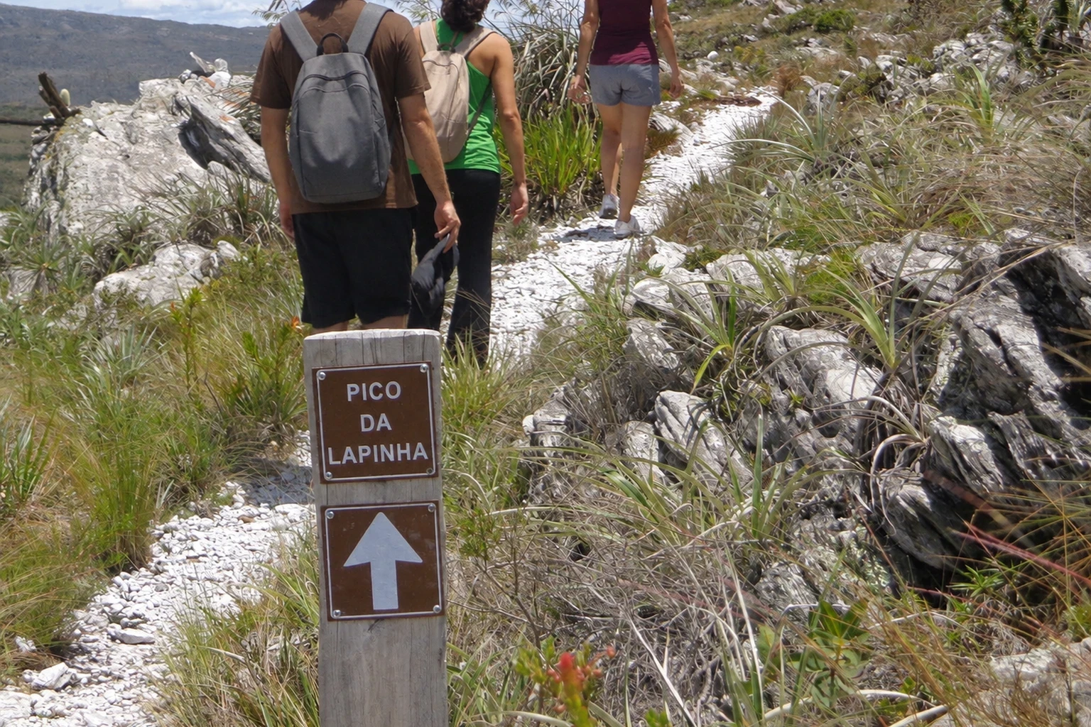
Pico da Lapinha
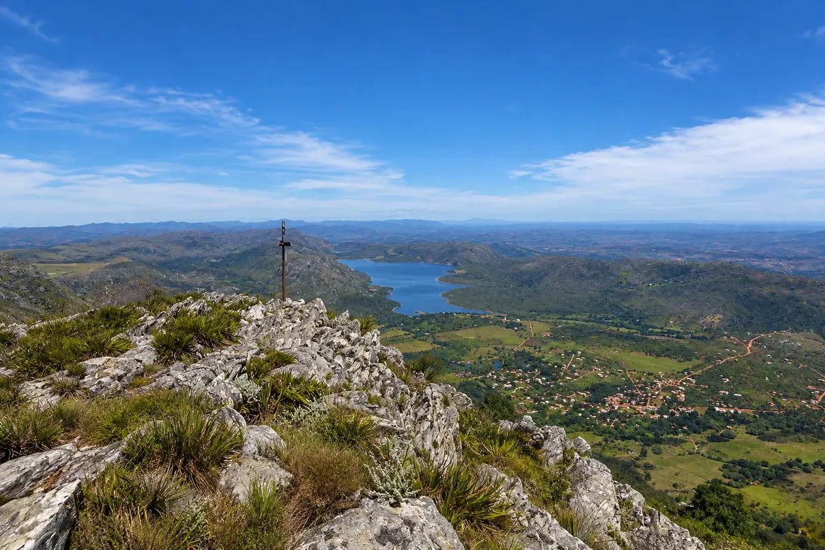
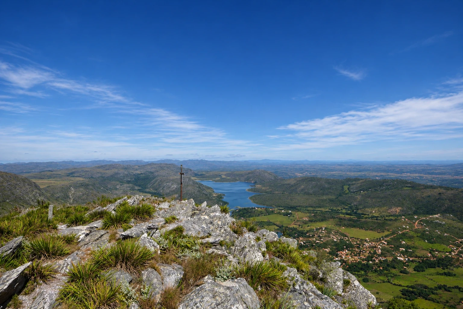
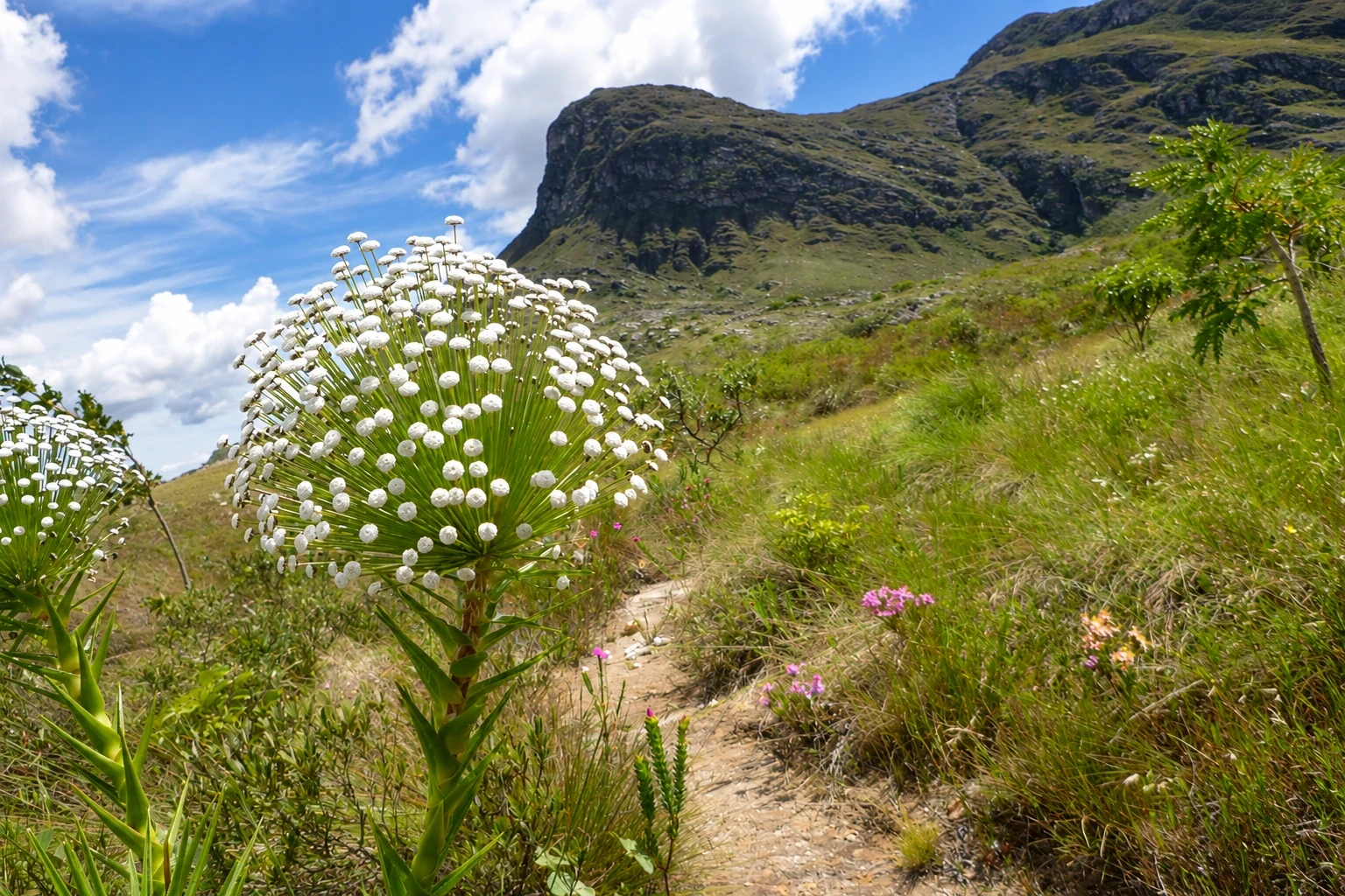
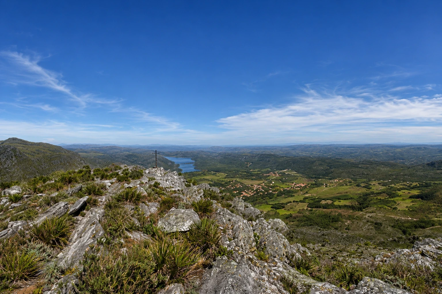
Peak of about 1,686 meters just above the village, the second highest in Serra do Cipó, with a summit cross. The trail climbs the slope and shows the lagoon, the village and the range.
Illustrative images. The pictures in this guide are illustrations based on the real place, not photographs, and may differ from it.


Pogled na kraj
Pico da Lapinha v slikah
These pictures are illustrations based on the real place, not photographs. They may differ from the place.
Kliknite fotografijo za povečavo.
Spoznajte
O znamenitosti Pico da Lapinha
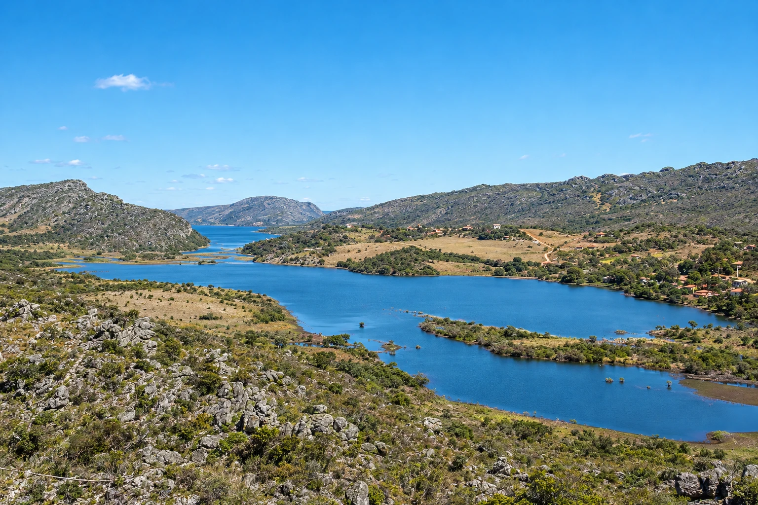
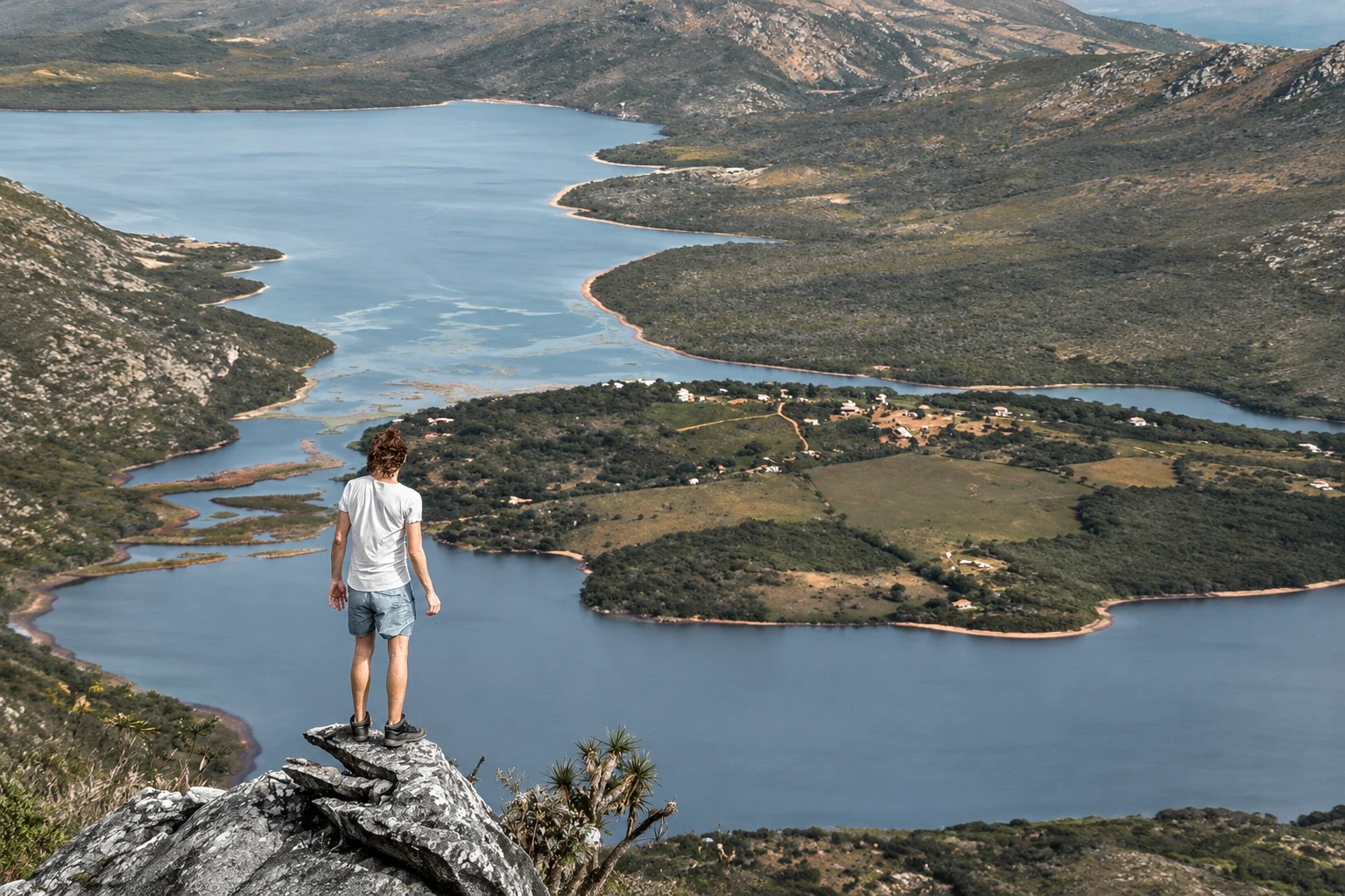
Pico da Lapinha rises immediately above Lapinha da Serra, on the edge of Serra do Espinhaço, and reaches about 1,686 meters in altitude. It is the second highest point in Serra do Cipó; the highest, Pico do Breu, at about 1,687 meters, lies beside it on the same ridge. On Lapinha's summit there is a cross, and from there you can see the village, the lagoon, the valleys toward Santana do Riacho and, on clear days, the ranges toward Conceição do Mato Dentro.
The trail starts in the village and is about 10 km round trip, with a continuous ascent and sections of loose rock. A walker at a steady pace takes two to three hours to climb. The access is on private property, where a separate fee is charged; near the end of the ascent there is a support point with restrooms. The slope has no shade.
Pico do Breu is a longer outing and requires more experience: the trail crosses high-altitude fields and finishes on an exposed rock section. Many people climb it on the first day of the crossing to Tabuleiro. For both peaks, those unfamiliar with the route should go with a local guide.
Pred odhodom
Praktične informacije
Cidade Turismo reviews its information regularly, but something may have changed. Check with the place before planning your trip.
Koliko časa si vzemite
About 4 to 5 hours round trip, allowing time to rest at the top.
Najboljši čas
From April to September, when it rains less and the sky is usually clearer. Climb early in the morning, before the strong sun. In summer afternoon storms are common: descend before they form.
Kako do tja
The trail starts in the village itself, after the bridge over the stream, and is marked until the entrance of the private property where the fee is paid. Ask for directions in the village before leaving.
Nasvet
Bring water, sunscreen, a hat and warm clothing for the summit wind. Wear sturdy footwear. Bring cash for the property fee. Do not climb with low clouds or thunderstorm risk.
Odgovori na vaša vprašanja
Pogosta vprašanja – Pico da Lapinha
What is the height of Pico da Lapinha?
About 1,686 meters. It is the second highest point of the Serra do Cipó, after the neighboring Pico do Breu, at about 1,687 meters.
Is the Pico da Lapinha trail difficult?
It is moderate: about 10 km round trip, with a continuous ascent and loose rock. It requires some fitness, but no climbing gear.
Is there a fee to climb Pico da Lapinha?
Yes. The access route crosses private property, where an additional fee is charged. Check the price in the village and bring cash, because mobile signal is weak.
Več kot vodnik


