

 Antarktika
 Argentina
 Bolivija
 Čile
 Kolumbija
 Ekvator
 Gvajana
 Francoska Gvajana
 Falklandski otoki (Malvini)
 Paragvaj
 Peru
 Surinam
 Urugvaj
 Venezuela
 Nemčija
 Avstrija
 Belgija
 Hrvaška
 Danska
 Slovaška
 Slovenija
 Španija
 Finska
 Francija
 Grčija
 Nizozemska
 Madžarska
 Irska
 Islandija
 Italija
 Luksemburg
 Norveška
 Poljska
 Portugalska
 Združeno kraljestvo
 Češka
 Švedska
 Švica
 Turčija
 Bermudi
 Kanada
 Združene države Amerike
 Grenlandija
 Mehika
 Sveta Peter in Mihael
 Dominikanska republika
 Japonska
 Južnoafriška republika
 Egipt
 Avstralija
 Fidži
 Nova Zelandija
 Papua Nova Gvineja
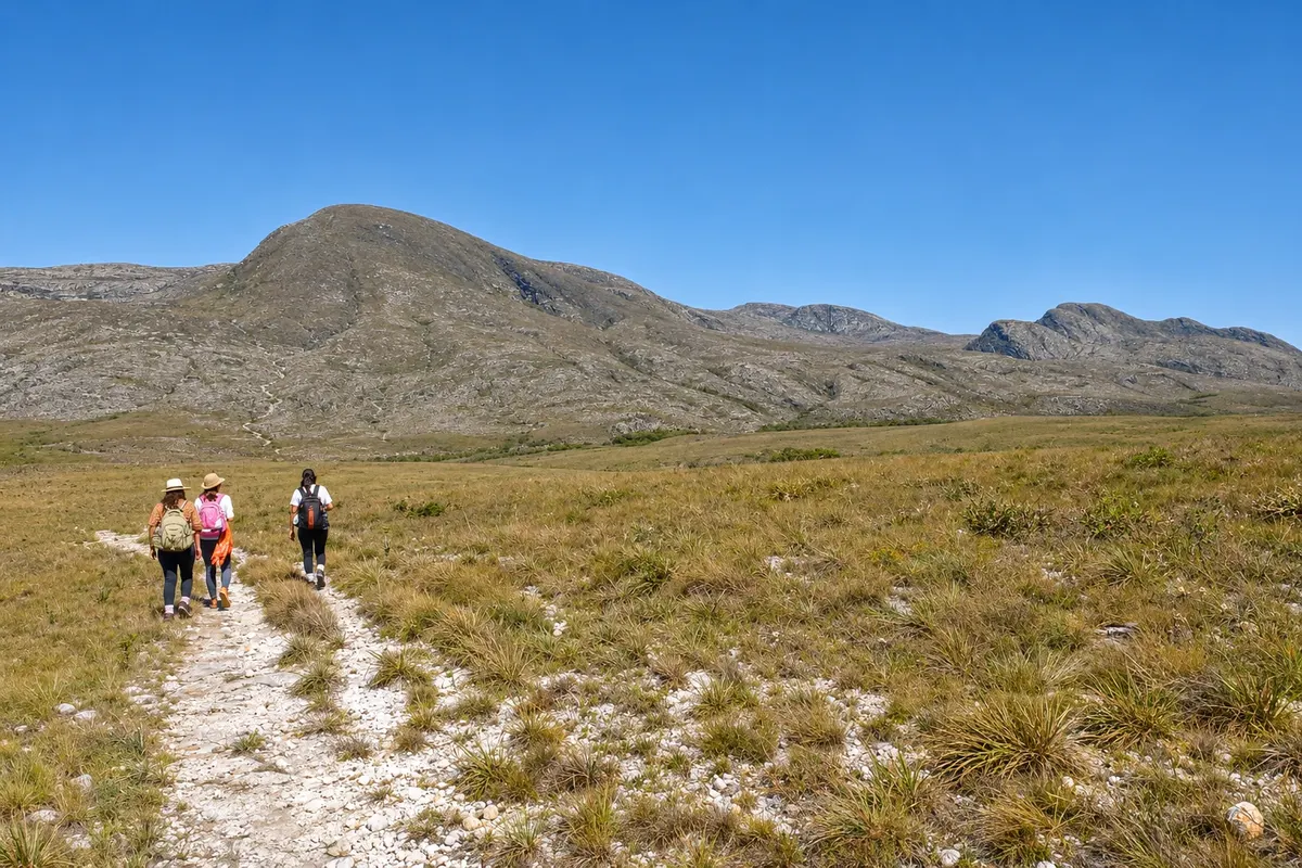
long-distance trail · Lapinha da Serra, MG
Lapinha-Tabuleiro Crossing
A two- or three-day on-foot crossing of the Serra do Espinhaço, from the village of Lapinha da Serra to Cachoeira do Tabuleiro, in Conceição do Mato Dentro. It’s about 35 to 40 km across campos rupestres, usually done with a local guide.
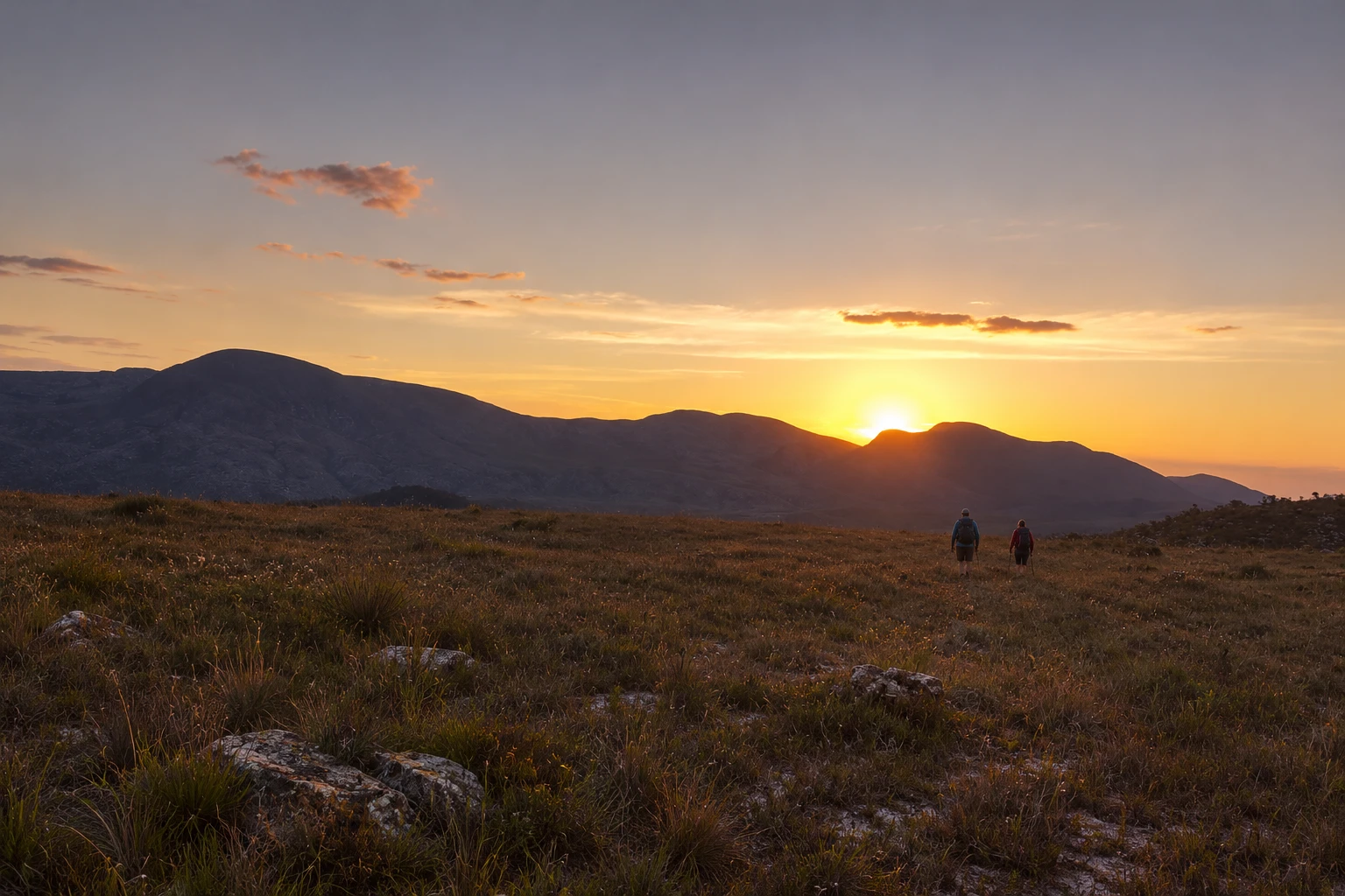
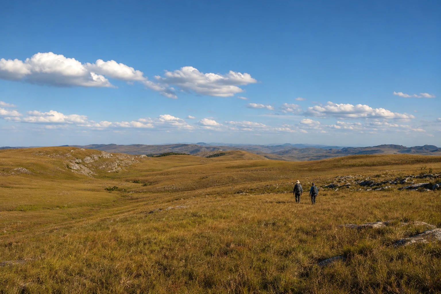
Na fotografiji: Hikers on the Lapinha-Tabuleiro Crossing trail, in the Serra do Espinhaço.
Illustrative images. The pictures in this guide are illustrations based on the real place, not photographs, and may differ from it.


Pogled na kraj
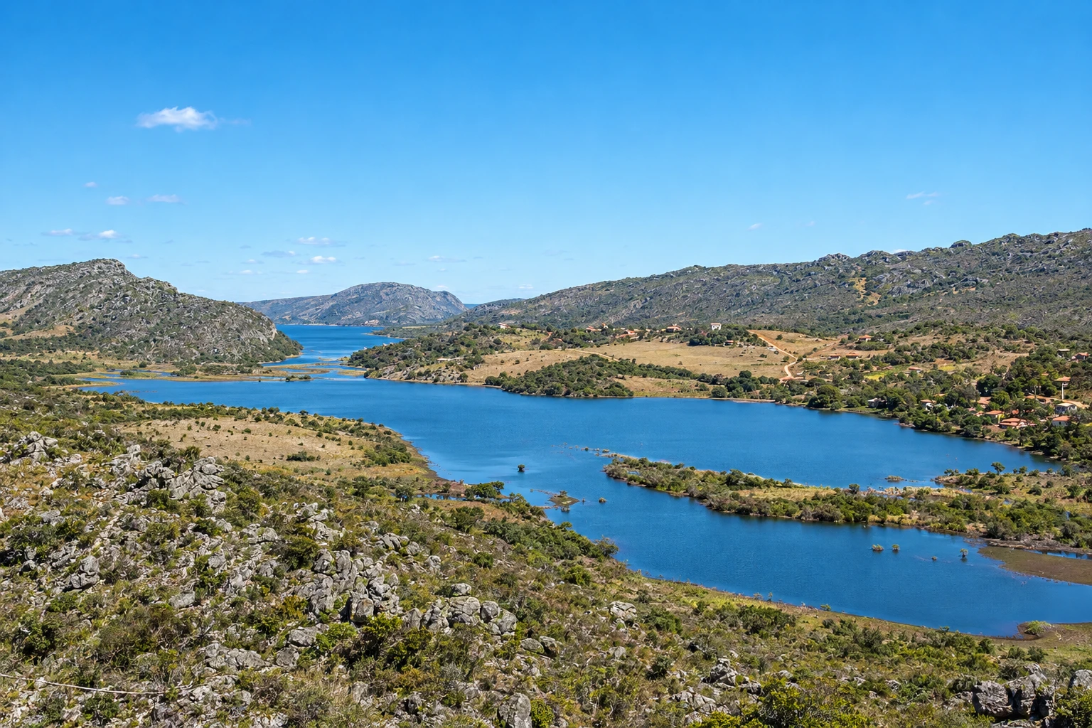
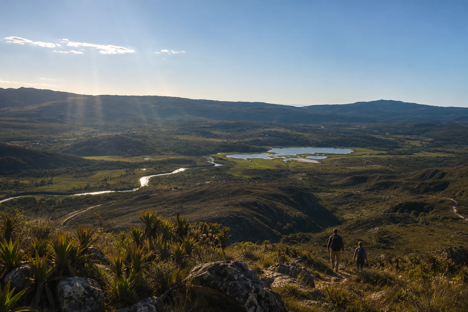
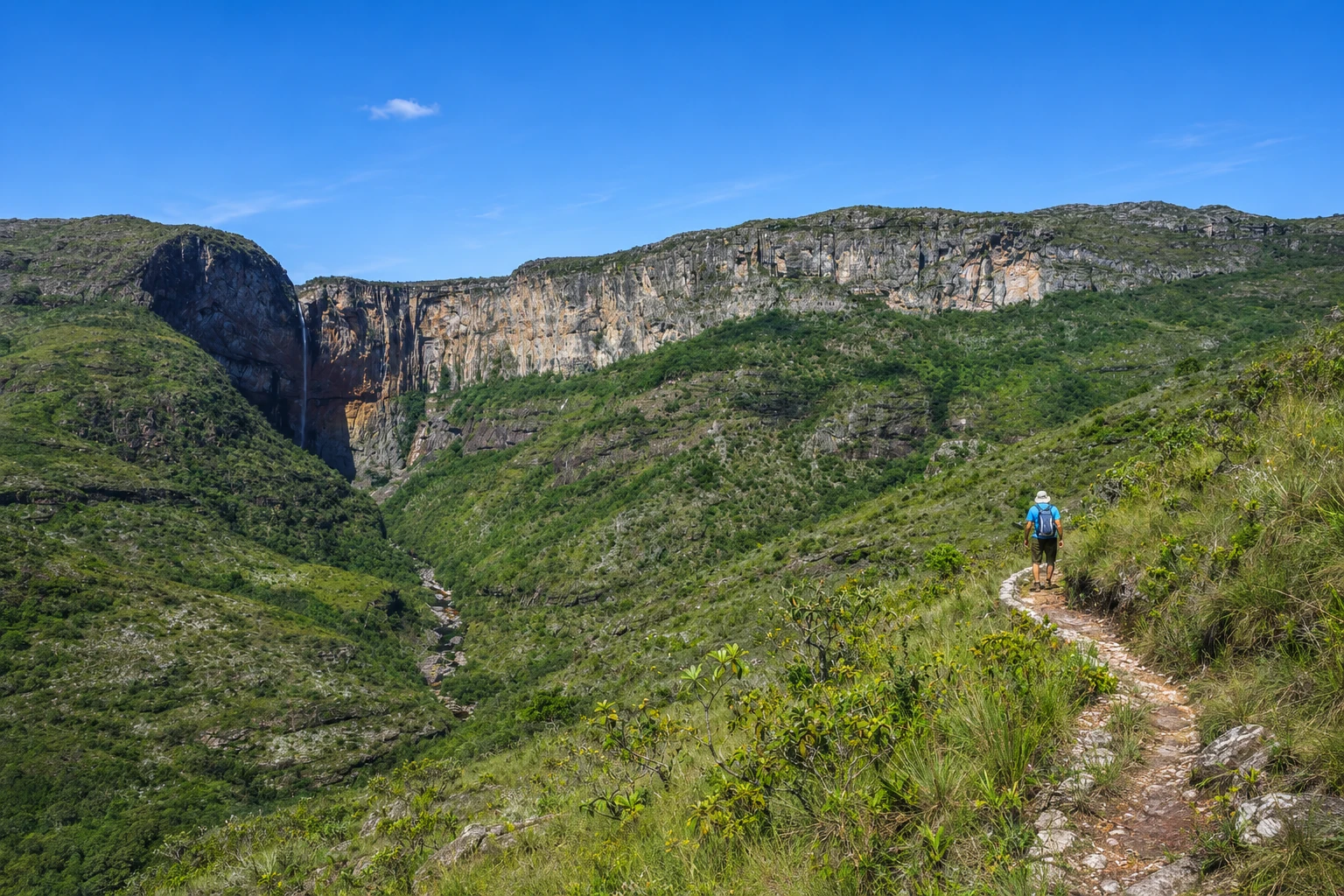
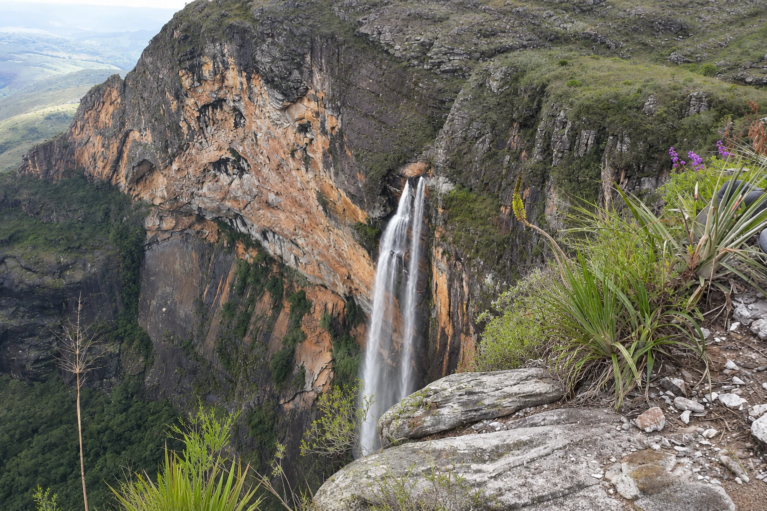
Lapinha-Tabuleiro Crossing v slikah
These pictures are illustrations based on the real place, not photographs. They may differ from the place.
Kliknite fotografijo za povečavo.
Spoznajte
O znamenitosti Lapinha-Tabuleiro Crossing
The Lapinha-Tabuleiro Crossing links the village of Lapinha da Serra, in Santana do Riacho, to Cachoeira do Tabuleiro, in Conceição do Mato Dentro, crossing the Serra do Espinhaço on foot. It’s the region’s best-known long-distance hike and finishes at the top of the 273-meter fall, the highest in Minas Gerais.
The route is between 34 and 40 km, depending on the chosen path, and is usually done in two or three days. The trail goes through campos rupestres, quartzite outcrops, stream valleys and ridge sections with wide views, far from roads and larger settlements.
The crossing is generally done with a local guide who knows the junctions and water points. There are two common ways: camping along the route with a tent and backpacking gear, or sleeping in locals’ houses that host hikers. At the end, a support vehicle picks up the group on the Conceição do Mato Dentro side.
This is an activity for people with previous long-hiking experience. There’s no cell signal for much of the route, and weather changes quickly in the mountains: rain, fog and lightning require caution, especially in the rainy months.
The village of Lapinha da Serra, the starting point, sits on the edge of the Lapinha reservoir at the foot of Pico da Lapinha, and is worth one or two days before the crossing to visit nearby waterfalls. On arrival, the Parque Natural Municipal Ribeirão do Campo, where Cachoeira do Tabuleiro is located, has its own visitation rules.
Pred odhodom
Praktične informacije
Cidade Turismo reviews its information regularly, but something may have changed. Check with the place before planning your trip.
Koliko časa si vzemite
Two or three days of hiking. Allow at least five days in the region to combine the crossing with time in the village of Lapinha da Serra and the return.
Najboljši čas
From April to September, when it usually rains less and lightning storms are rarer. From June to August nights in the mountains tend to be cold. Avoid the rainy months, November to March, when streams rise and fog makes navigation difficult.
Kako do tja
The crossing starts in the village of Lapinha da Serra, a district of Santana do Riacho, reached by dirt road from Serra do Cipó. It ends at Cachoeira do Tabuleiro, in Conceição do Mato Dentro, from where you return by support vehicle arranged in advance.
Nasvet
Hire a local guide and arrange overnight stays and the support vehicle in advance. Bring warm clothing, a rain jacket, a flashlight, a water filter or purification tablets, and food for all days. Tell someone your itinerary, as there is almost no cell signal.
Odgovori na vaša vprašanja
Pogosta vprašanja – Lapinha-Tabuleiro Crossing
How many kilometers is the Lapinha-Tabuleiro Crossing?
Between 34 and 40 km, depending on the route chosen, linking the village of Lapinha da Serra to Cachoeira do Tabuleiro in Conceição do Mato Dentro.
How many days does the Lapinha-Tabuleiro Crossing take?
Usually two or three days of hiking, with overnight camping or stays in locals’ houses that host hikers.
Do you need a guide to do the Lapinha-Tabuleiro Crossing?
It is recommended to go with a local guide: there are many junctions, almost no cell signal and weather changes quickly in the mountains. The guide also helps arrange overnight stays and the support vehicle at the end.
What is the best time for the Lapinha-Tabuleiro Crossing?
From April to September, when it usually rains less. In the rainy months, November to March, there is a risk of lightning, fog and high streams.
How do you return after the Lapinha-Tabuleiro Crossing?
The crossing ends on the Conceição do Mato Dentro side, far from the starting point. Return is made by a support vehicle arranged beforehand with the guide or with local residents.
Več kot vodnik


