By plane: São Paulo or Rio de Janeiro
The region has no airport with regular flights. The most used is São Paulo–Guarulhos International Airport, which receives flights from across Brazil and other countries and is about 150 to 160 km from Aparecida via the Via Dutra. The Rio de Janeiro airports are the other option; the city of Rio is about 260 km from Aparecida along the same highway.
São José dos Campos airport is the closest, about 90 km away, but its schedule of commercial flights is limited and changes frequently; check with airlines before relying on it.
From Guarulhos airport, travelers continue by rental car, arranged transfer or bus. By bus, the usual route is to go to São José dos Campos or to São Paulo’s bus station and then board a bus to Aparecida.
By bus: from São Paulo, Rio and other cities
Aparecida has a bus station in the center. From São Paulo, buses depart from the Tietê Bus Terminal and take from 2h20; Pássaro Marron and Cometa are among the companies on the route, with several departures per day. There are also lines from São José dos Campos and other cities; check schedules for your departure point.
Guaratinguetá, Aparecida’s neighbor, and Cachoeira Paulista are also served by regular buses; check times.
Cunha is outside that axis, in the mountains. Check departure and return schedules at the Guaratinguetá bus station before heading up.
In October, on holidays and on weekends with large gatherings, buy tickets in advance.
By car: Via Dutra and the Cunha mountain route
The Rodovia Presidente Dutra (BR-116), which connects São Paulo to Rio de Janeiro, crosses Aparecida and is the region’s main axis. The city is about 180 km from São Paulo and 260 km from Rio. The highway is dual carriageway on the whole stretch and has tolls. Other distances from Aparecida: Taubaté, 43 km; São José dos Campos, 93 km; Ubatuba (coast), 136 km; Campinas, 230 km.
Roseira, Guaratinguetá, Cachoeira Paulista and Cruzeiro lie along the same Via Dutra axis.
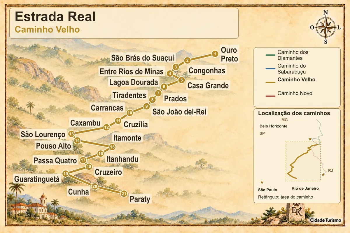
Cunha is in the mountains, off the Dutra. Access is via the SP-171, which leaves from Guaratinguetá; it is a single-lane road with curves. After Cunha, the same road descends the Serra do Mar toward Paraty, in the state of Rio de Janeiro, on a steep section that crosses the national park; check conditions before descending.
The National Shrine has its own paid parking, with thousands of spaces for cars, buses and motorcycles. On feast days, follow the city’s traffic directions.
On foot or by bicycle: the pilgrimage routes
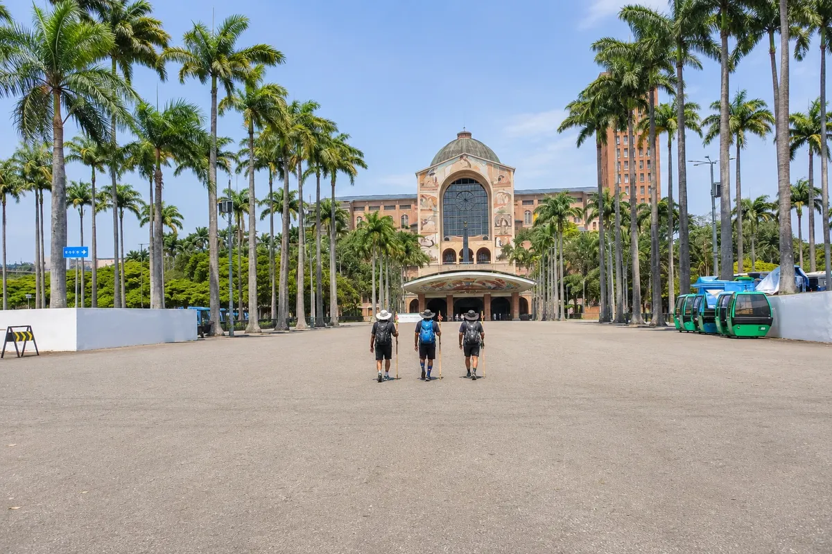
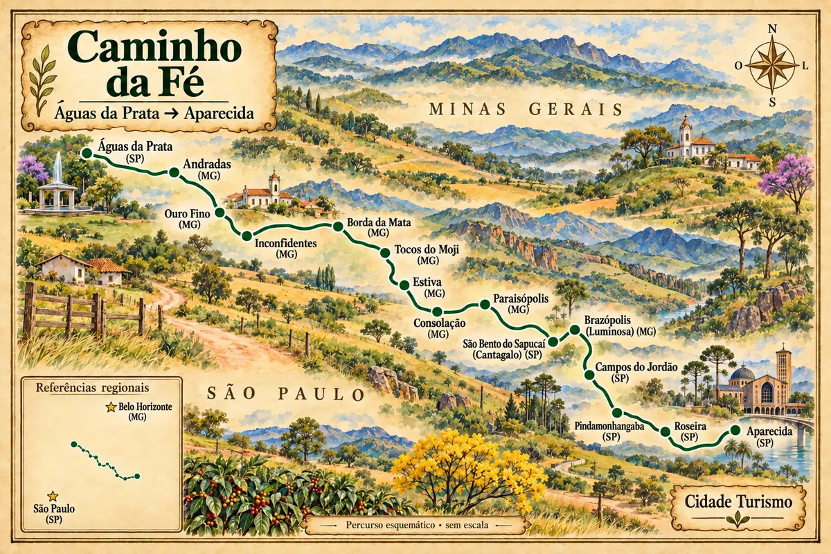
Many devotees reach Aparecida on foot. The most structured route is the Caminho da Fé, inspired by the Camino de Santiago: the main route is about 318 km, starts in Águas da Prata in the interior of São Paulo, crosses the Mantiqueira Range and ends at the National Sanctuary, marked by yellow arrows. It can be done on foot or by bicycle, in stages.
The sanctuary issues certificates for those who complete the devotion routes it recognizes, at the Tourist Information Center. Cyclists must walk their bicycles within the sanctuary grounds. For pilgrimages on horseback, the sanctuary has a dedicated reception with rules that must be checked in advance.
In the weeks before October 12, thousands of people walk along the Via Dutra toward Aparecida; drivers during this period should exercise extra caution.
How to get around the region
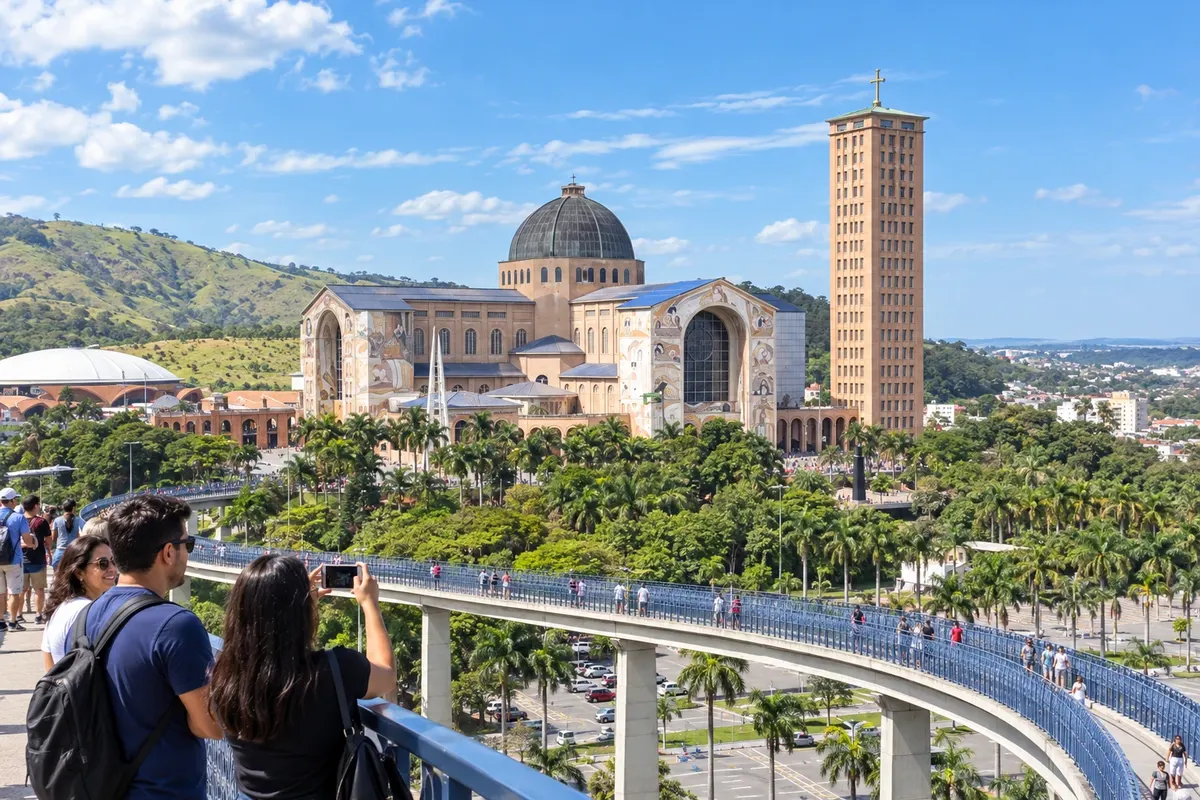
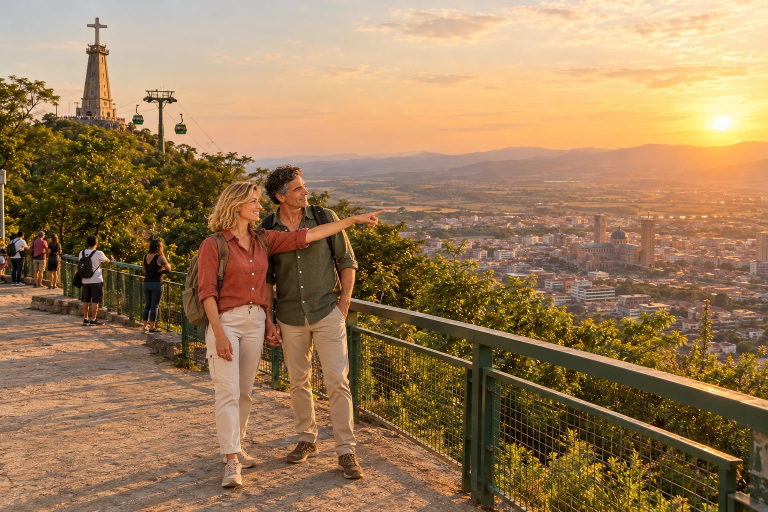
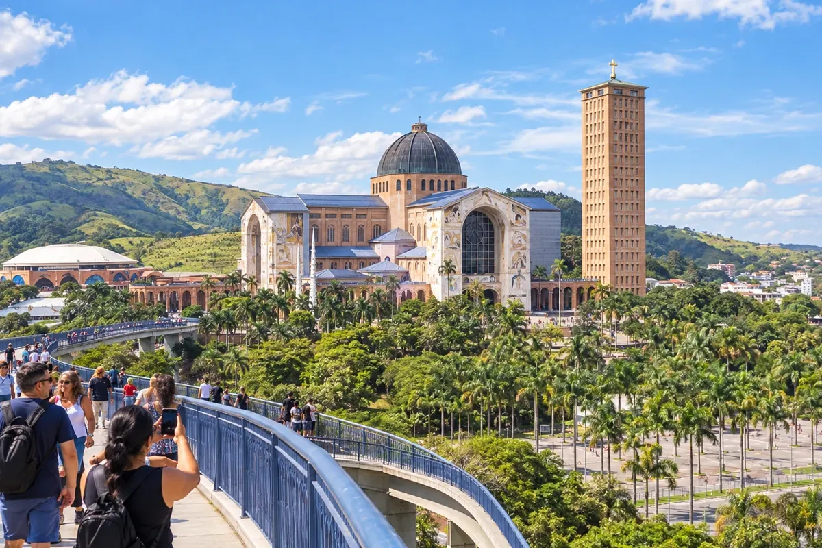
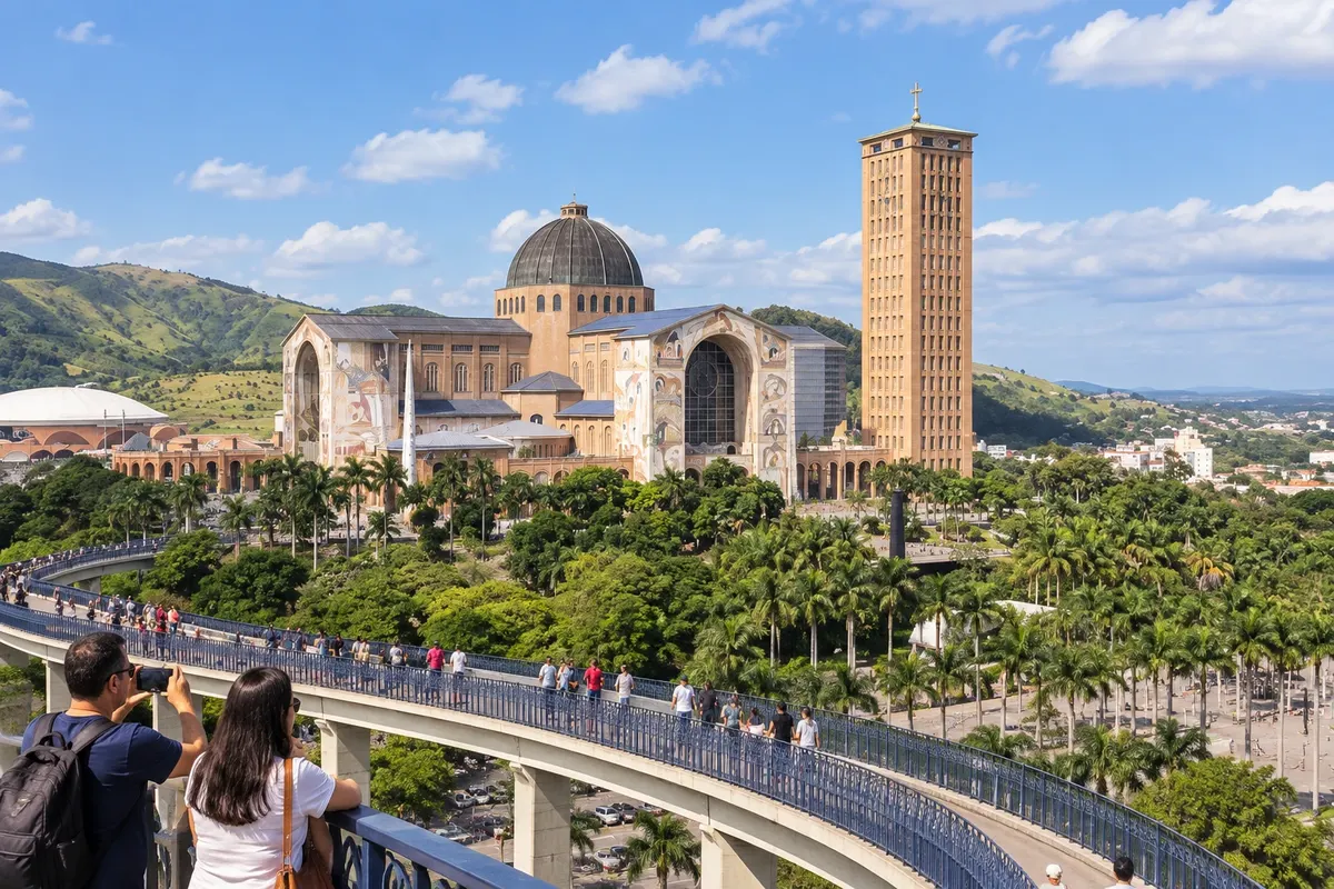
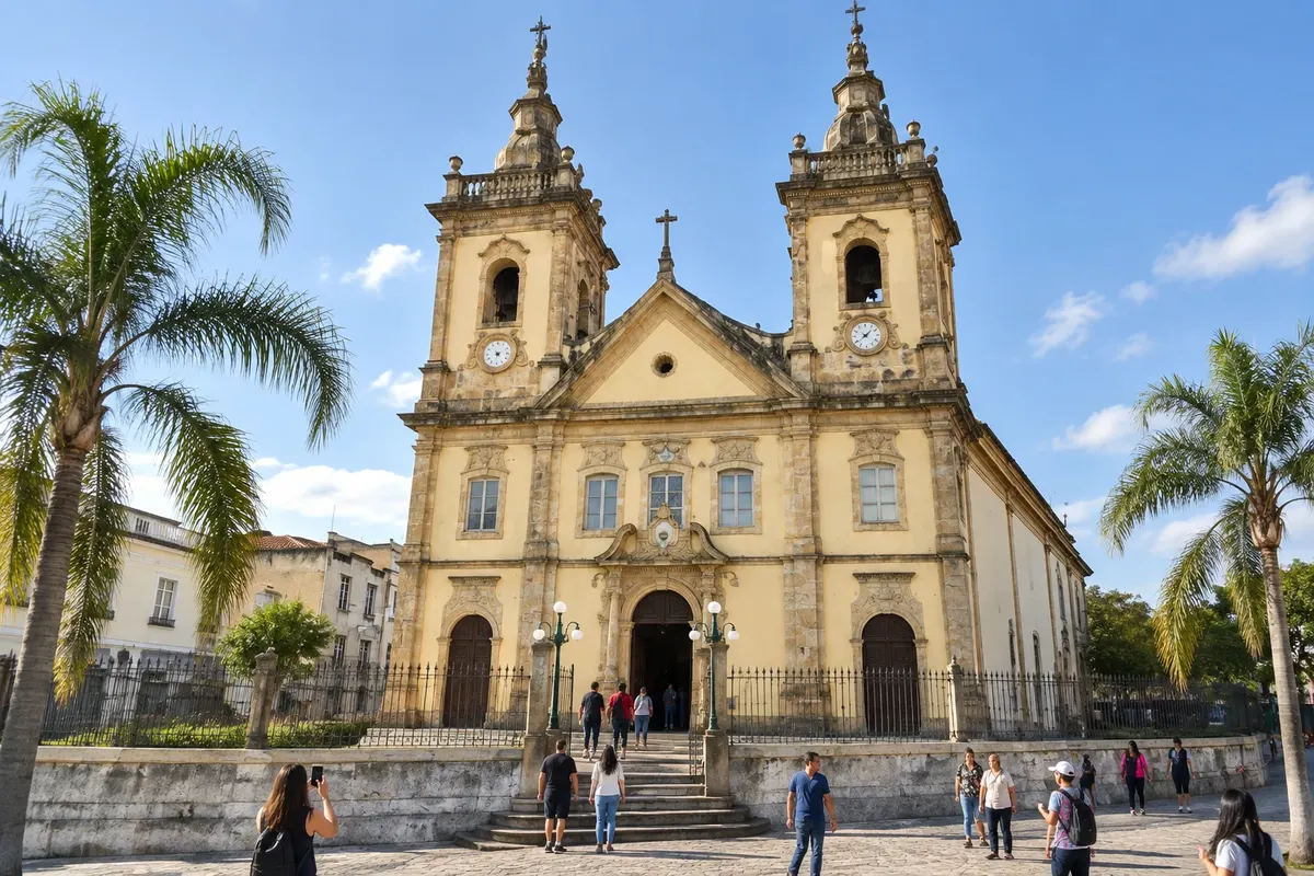
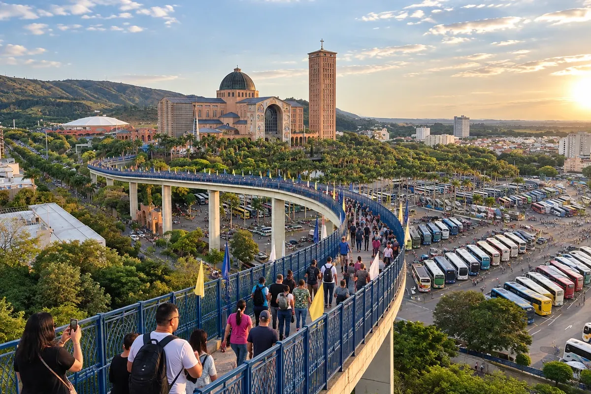
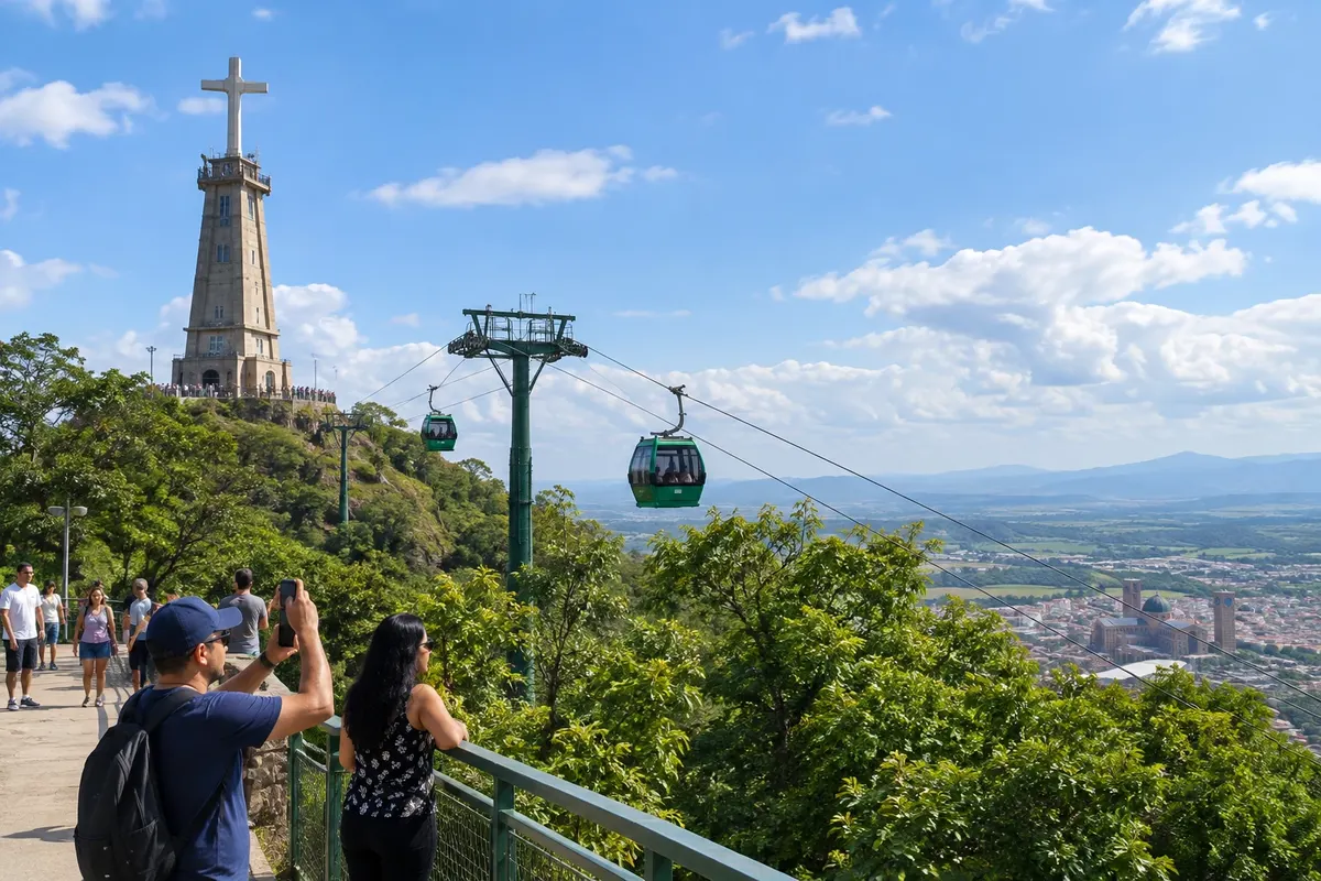
In Aparecida, almost everything is within walking distance. The National Sanctuary, the Passarela da Fé, the Historic Basilica and the Aerial Cable Car station are close to each other. Porto Itaguaçu and the Caminho do Rosário are farther away and require a car or taxi.
Guaratinguetá is neighboring Aparecida: you can go and return in the same day. Cachoeira Paulista is also on the Via Dutra and fits a day trip. There are tours that combine these stops.
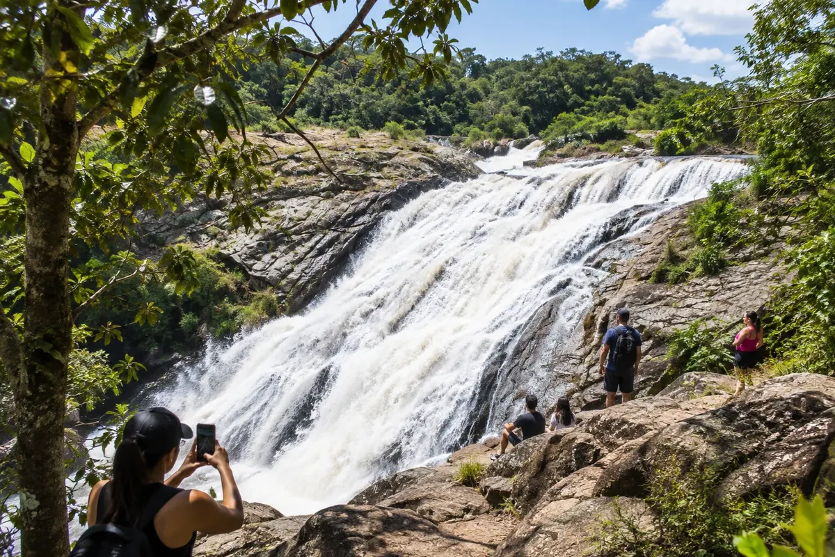
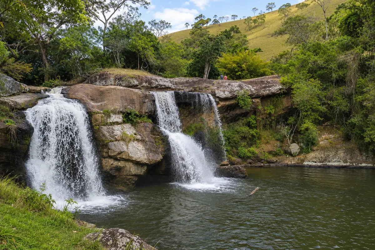
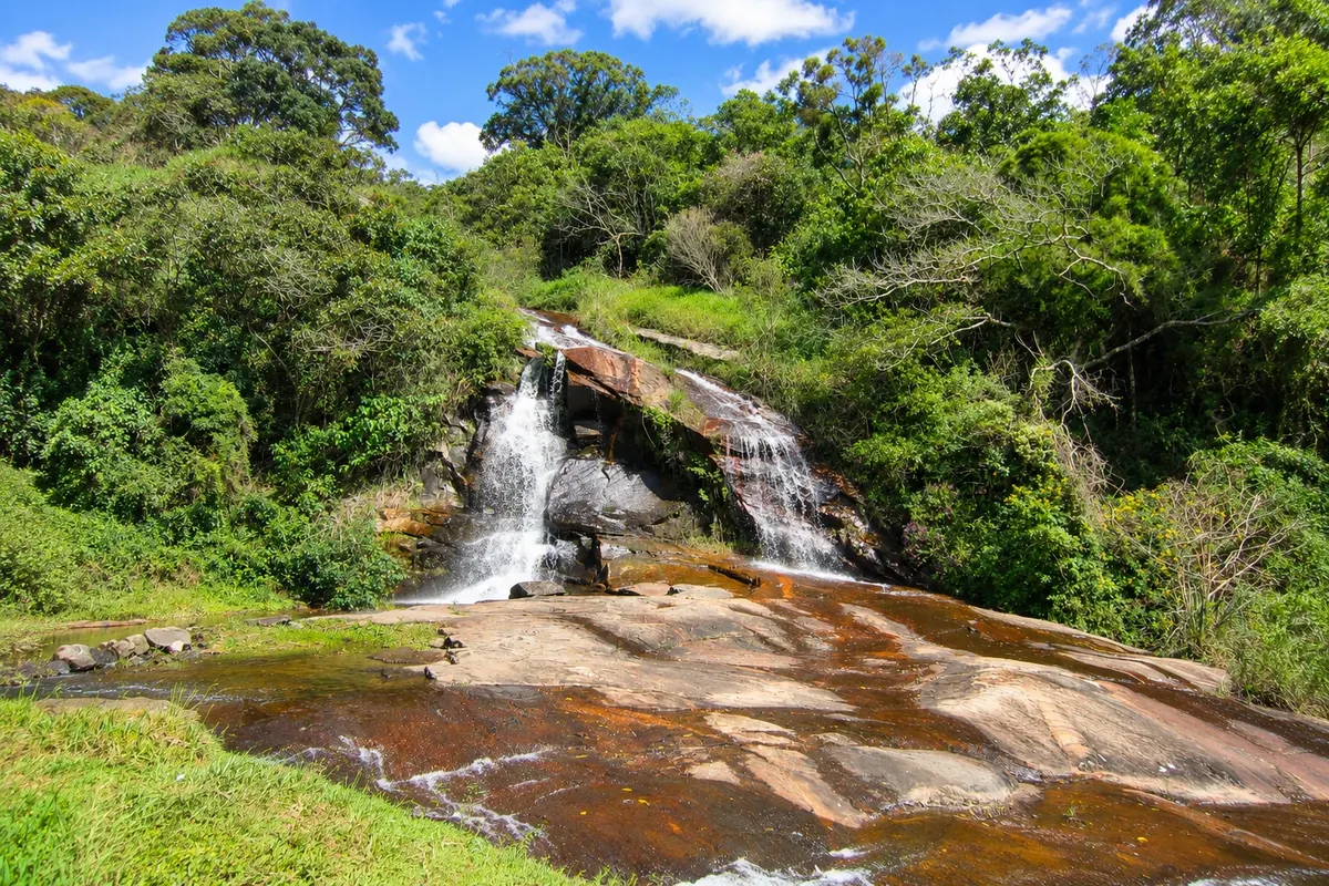
Cunha requires a car and at least one overnight stay. The downtown studios are visited on foot, but Pedra da Macela, the Núcleo Cunha and the waterfalls are on rural roads, some of them unpaved.
People with reduced mobility will find ramps, elevators and wheelchair loan service at the National Sanctuary. The ascent of Morro do Cruzeiro on foot and the Pedra da Macela trail are steep.


 Antarktika
 Argentina
 Bolivija
 Čile
 Kolumbija
 Ekvator
 Gvajana
 Francoska Gvajana
 Falklandski otoki (Malvini)
 Paragvaj
 Peru
 Surinam
 Urugvaj
 Venezuela
 Nemčija
 Avstrija
 Belgija
 Hrvaška
 Danska
 Slovaška
 Slovenija
 Španija
 Finska
 Francija
 Grčija
 Nizozemska
 Madžarska
 Irska
 Islandija
 Italija
 Luksemburg
 Norveška
 Poljska
 Portugalska
 Združeno kraljestvo
 Češka
 Švedska
 Švica
 Turčija
 Bermudi
 Kanada
 Združene države Amerike
 Grenlandija
 Mehika
 Sveta Peter in Mihael
 Dominikanska republika
 Japonska
 Južnoafriška republika
 Egipt
 Avstralija
 Fidži
 Nova Zelandija
 Papua Nova Gvineja