

 Brazil
 Argentina
 Chile
Chile Colombia
 Peru
Peru Uruguay
 Germany
 Belgium
 Spain
Spain France
 Greece
 the Netherlands
 Ireland
 Italy
Italy Portugal
 the United Kingdom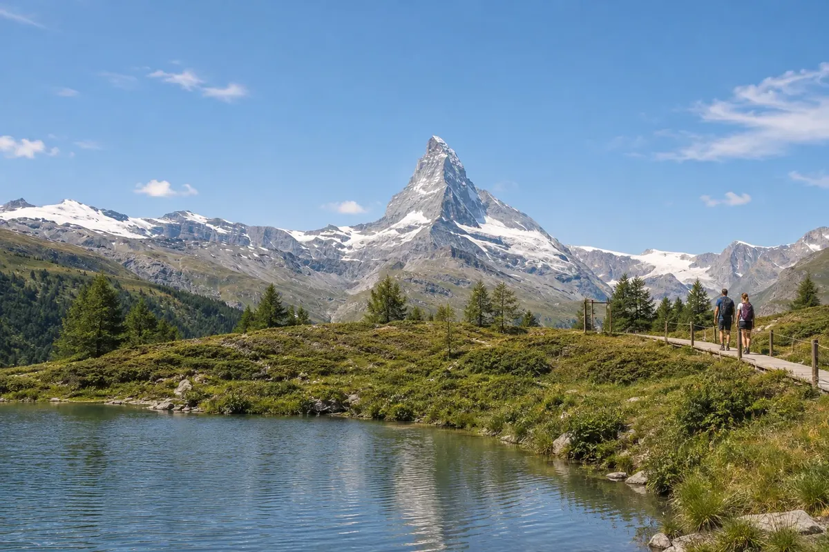
Mountain · Zermatt, Valais
Matterhorn
The 4,478 m mountain on the border between Switzerland and Italy, with four faces oriented approximately to the cardinal points. First climbed in 1865 from Zermatt, it is visible from the village and from all the valley viewpoints.
Illustrative images. The pictures in this guide are illustrations based on the real place, not photographs, and may differ from it.

Discover
About Matterhorn
The Matterhorn is 4,478 m high and lies on the border between Switzerland and Italy, southwest of Zermatt. In Italian it is called Cervino; in French, Cervin. Its four faces are oriented, approximately, to the cardinal points: the north, east and west faces are on the Swiss side, and the south face on the Italian side.
The first ascent reached the summit on 14 July 1865. Edward Whymper's party climbed via the Hörnli ridge from Zermatt, with Charles Hudson, Lord Francis Douglas, Douglas Robert Hadow, the guide Michel Croz and the guides Peter Taugwalder, father and son. On the descent, four of them fell and died; Lord Douglas's body was never found. Three days later Jean-Antoine Carrel and Jean-Baptiste Bich reached the top from the Italian side.
The normal route follows the Hörnli ridge and starts at the Hörnlihütte, a refuge at 3,260 m accessible on foot from Schwarzsee. The ascent to the summit is for experienced mountaineers, with a mountain guide.
For the visitor, the Matterhorn is above all a landscape. It appears from the village center, from the Gornergrat, the Riffelsee, Schwarzsee, Sunnegga and the Matterhorn Glacier Paradise, each offering a different angle on the mountain.
Before you go
Practical information
Cidade Turismo reviews its information regularly, but something may have changed. Check with the place before planning your trip.
How much time to set aside
The view from the center takes only a few minutes; the surrounding viewpoints each require half a day to a full day.
Best time
With clear skies, the sunrise lights the mountain top first. Clouds often cover the summit, even in the European summer, so it's worth allowing more than one day in the village to have a chance of a clear view.
How to get there
From Zermatt's center, the bridge over the Vispa river by the Catholic church affords views of the mountain. The viewpoints are reached by the Gornergrat train, the Matterhorn Express cable cars and the Sunnegga funicular.
Tip
Check the cable cars' live cameras before buying the ascent: if the summit is covered, change the order of your outings. Climbing requires a guide and technical preparation; those who want to get closer without climbing can walk from Schwarzsee toward Hörnlihütte.
Official website
Get your questions answered
Frequently asked questions about Matterhorn
What is the altitude of the Matterhorn?
4,478 m.
When was the first ascent of the Matterhorn?
On 14 July 1865, by Edward Whymper's party, which climbed from Zermatt via the Hörnli ridge.
Can an ordinary tourist climb the Matterhorn?
The summit is only for experienced mountaineers, with a guide. Without climbing, you can see the mountain up close from viewpoints served by train and cable car.
Is the Matterhorn in Switzerland or Italy?
On the border between the two countries. The Swiss side towers over Zermatt; the Italian side over Breuil-Cervinia.