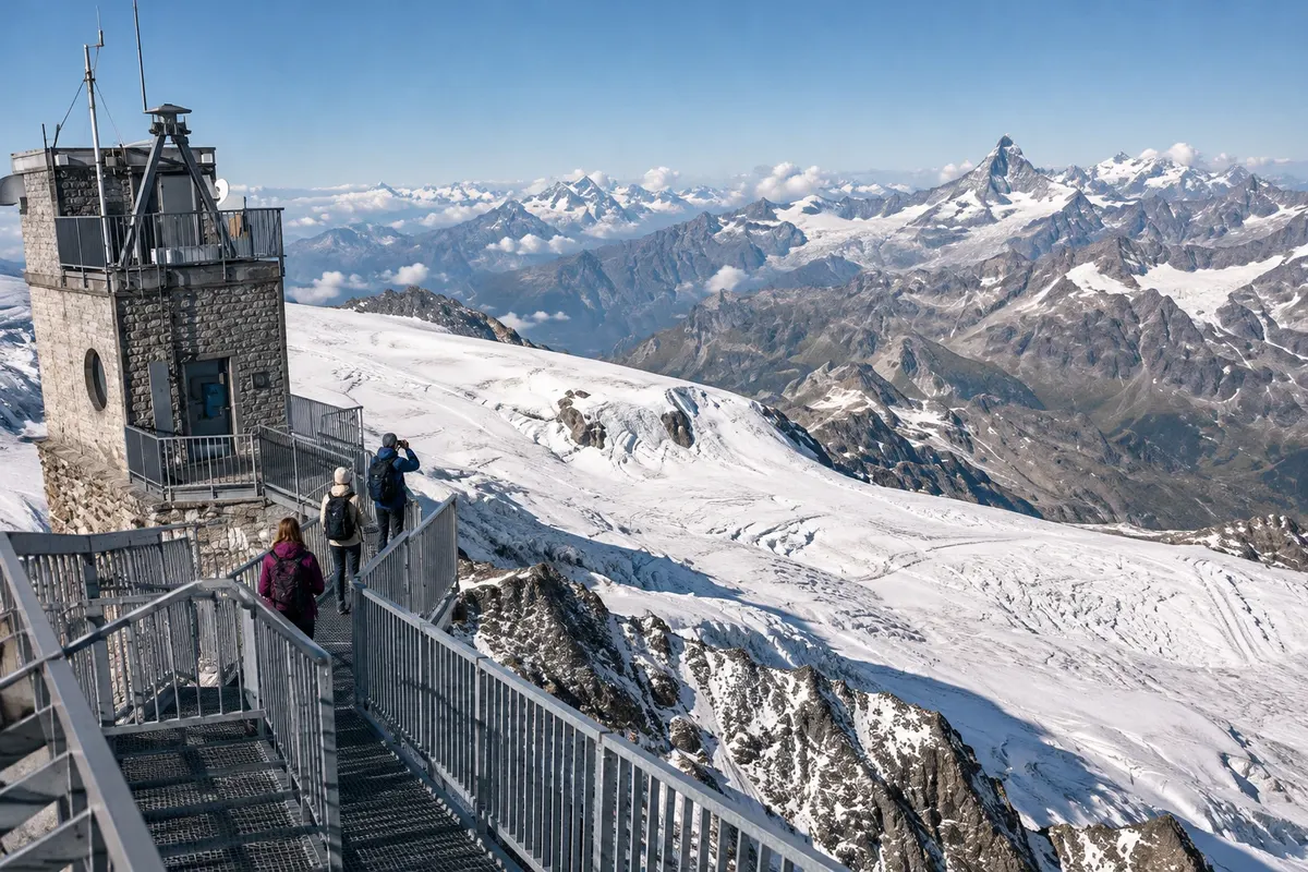
Mountain lake
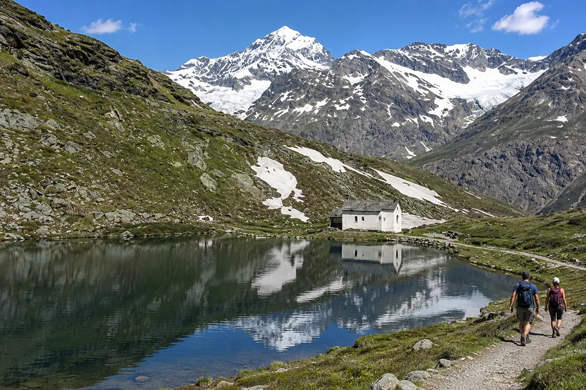
Schwarzsee
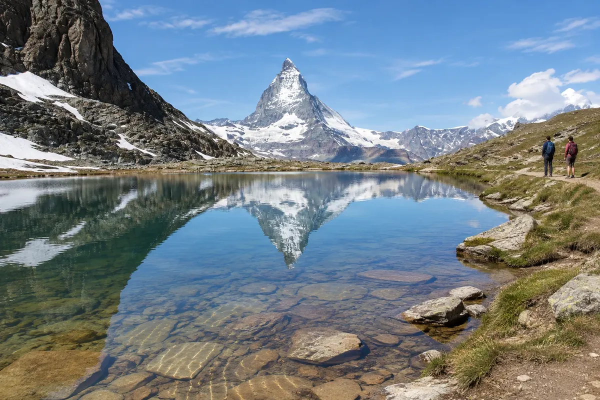
Lake at 2,583 m at the foot of the Hörnli ridge, with the chapel Maria zum Schnee on its shore. It is a stop on the Matterhorn Express cable car and the starting point of the trail to Hörnlihütte.
Viewpoint and lake
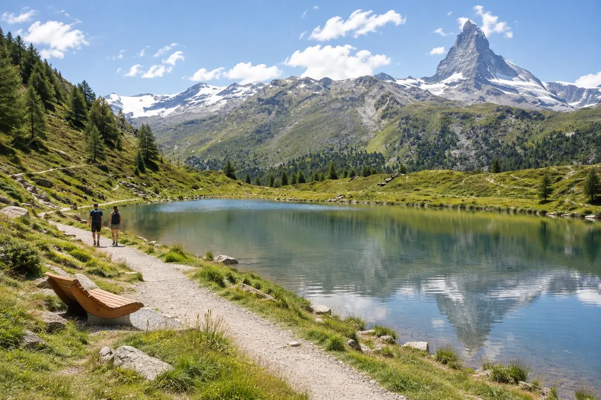
Sunnegga
Terrace at 2,288 m reached by a funicular that climbs inside the mountain in about 5 minutes. It has the Leisee, where you can swim, a playground, and cable cars that continue to Blauherd and to Rothorn at 3,103 m.
Trail
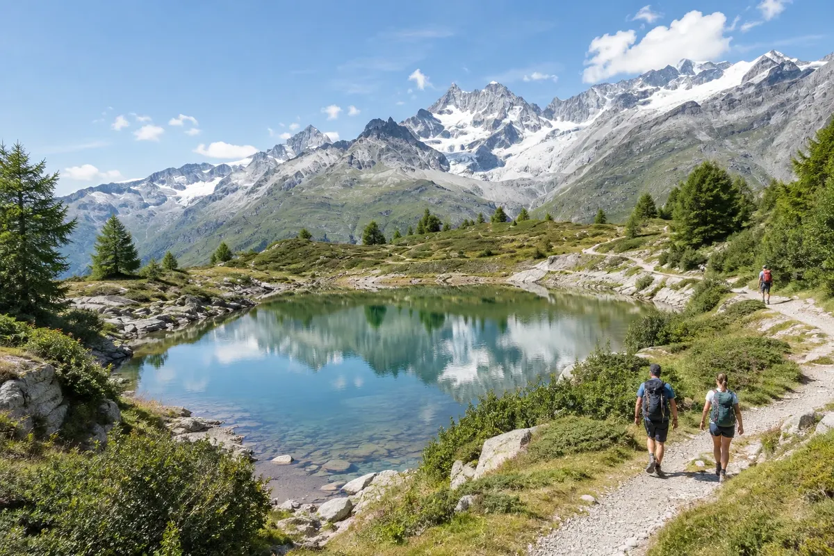
5-Seenweg
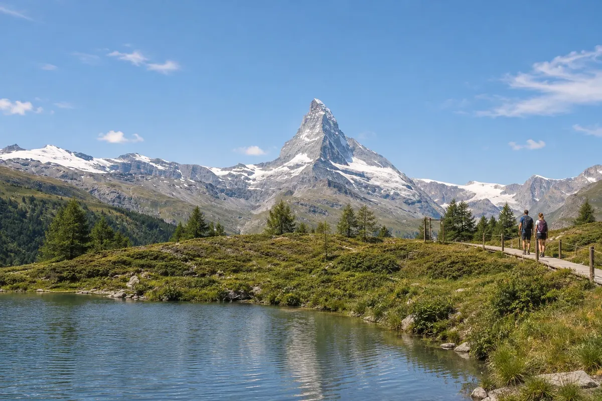
Trail of about 10 km between Blauherd and Sunnegga that passes five mountain lakes: Stellisee, Grindjisee, Grünsee, Moosjisee and Leisee. It takes 2 h 30 min to 3 h and has more descent than ascent.
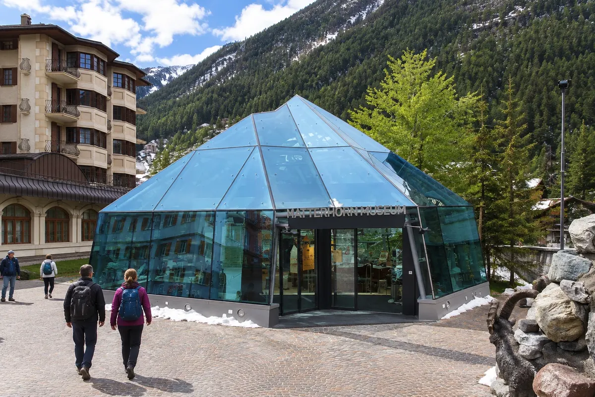
Museum
Matterhorn Museum – Zermatlantis
Underground museum at the Kirchplatz that reconstructs old village houses and tells the history of the Matterhorn, featuring the rope that broke on the first ascent in 1865.
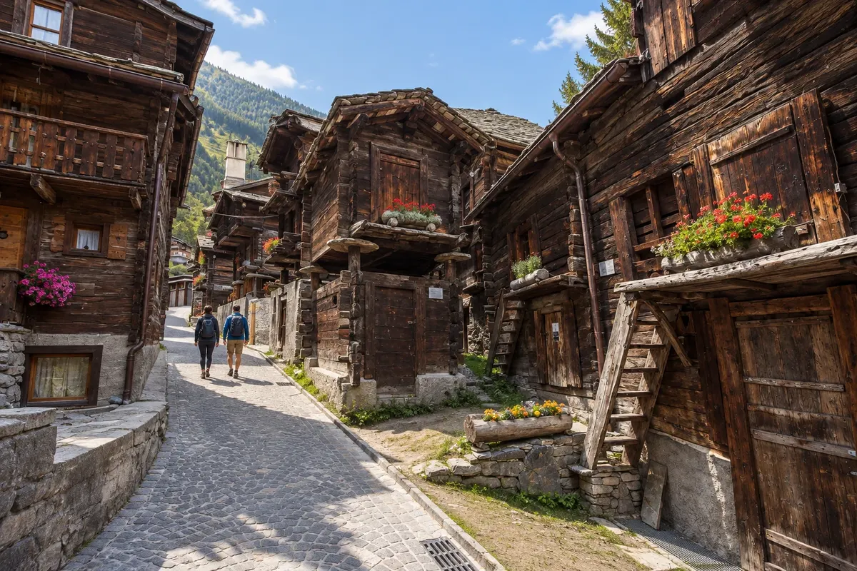
Historic center
Hinterdorf
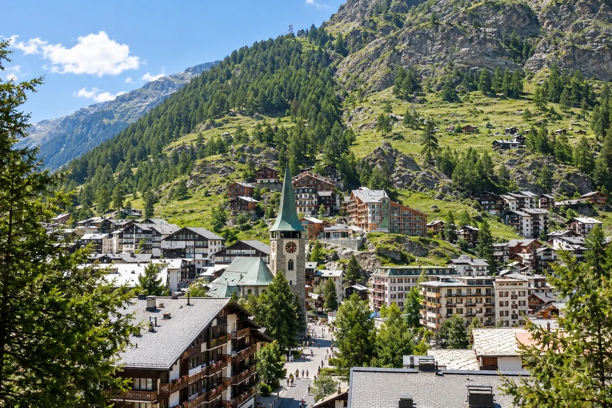
The old core of Zermatt, with more than 30 barns, storehouses and larch wood houses darkened with age, dating from the 16th to 18th centuries, built on stilts with stone discs to keep out rodents.
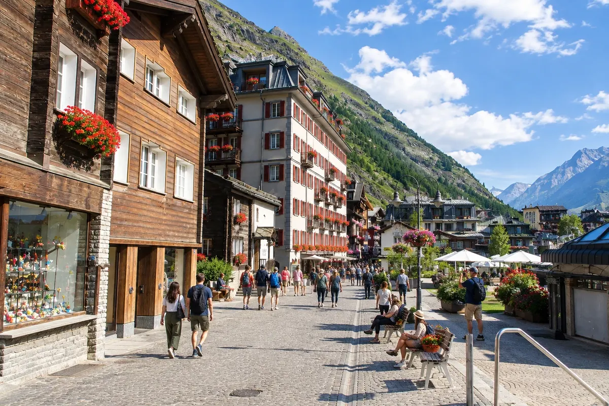
Street
Bahnhofstrasse
Zermatt's main street, from the train station to Kirchplatz, with shops, historic hotels and the bronze plaques of the Walk of Climb, which honor the mountaineers of the first ascents of the Matterhorn.
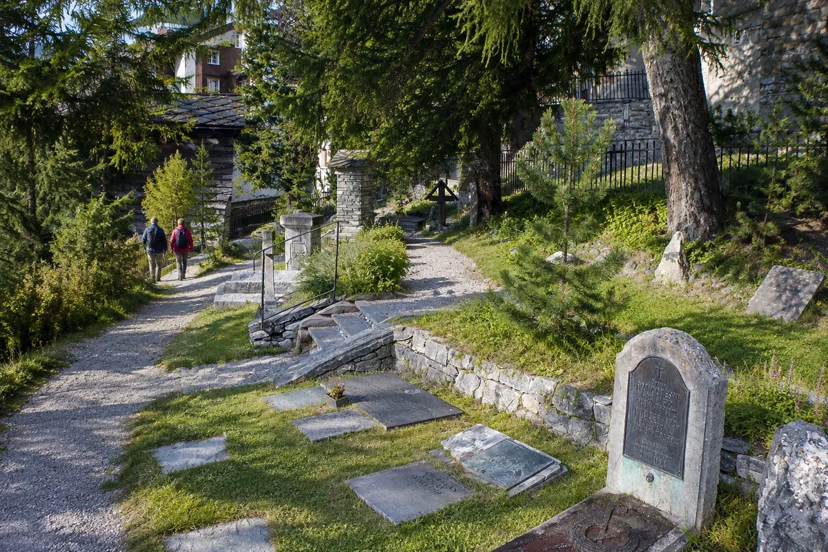
Cemetery and memorial
Bergsteigerfriedhof
The climbers' cemetery, next to Zermatt's Catholic church, with about 50 graves of mountaineers from several countries who died in the mountains around the village, almost all in the 19th century.
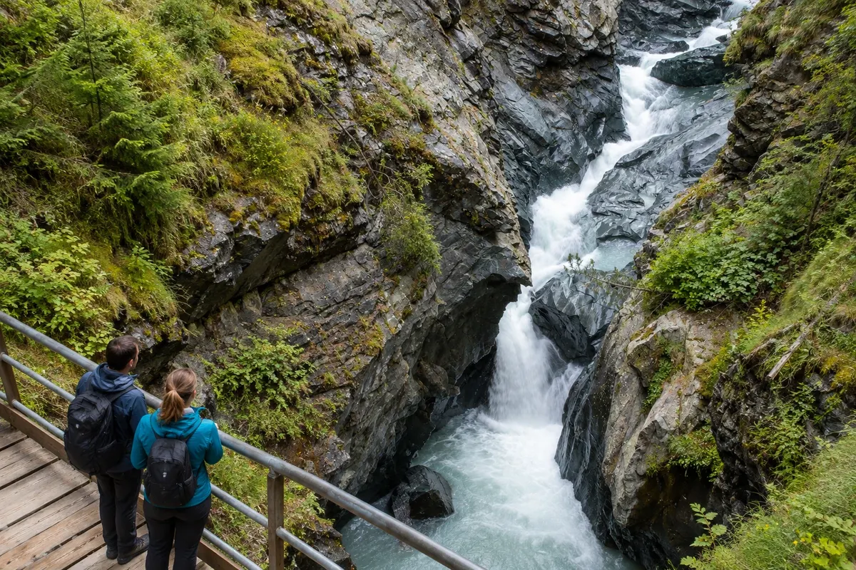
Gorge
Gornerschlucht
Gorge carved by the Gornera river in green serpentinite rock, crossed by wooden walkways and tunnels, about a 15-minute walk south of Zermatt. The season usually runs from June to mid-October.
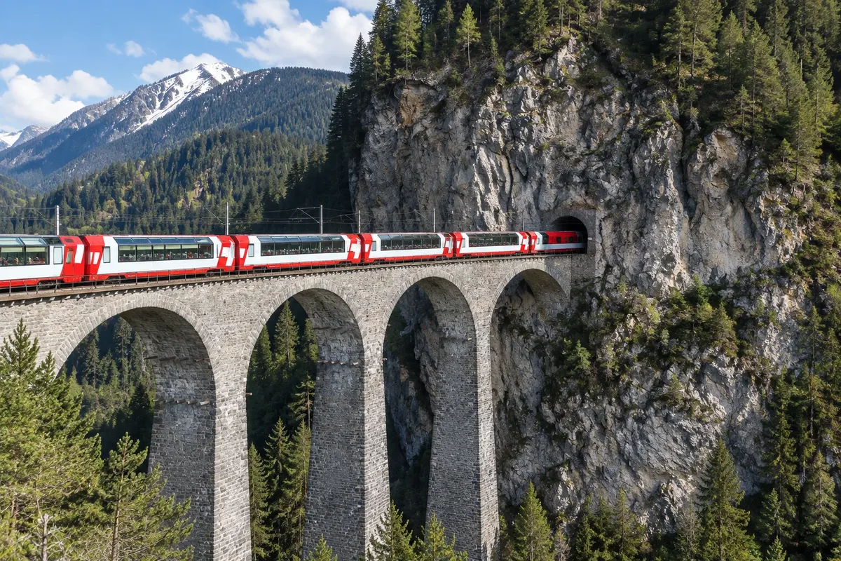
Panoramic train
Glacier Express
The panoramic train takes about 8 hours between Zermatt and St. Moritz, with 291 bridges and 91 tunnels, passing through Brig, Andermatt, the Oberalppass at 2,033 m, Disentis/Mustér, Chur and the Landwasser viaduct. Seat reservation required.


 Brazil
 Argentina
 Chile
Chile Colombia
 Peru
Peru Uruguay
 Germany
 Belgium
 Spain
Spain France
 Greece
 the Netherlands
 Ireland
 Italy
Italy Portugal
 the United Kingdom