

 Brazil
 Argentina
 Colombia
 Peru
Peru Uruguay
 Germany
 Belgium
 Spain
Spain France
 Greece
 the Netherlands
 Ireland
 Italy
Italy Portugal
 the United Kingdom
 Switzerland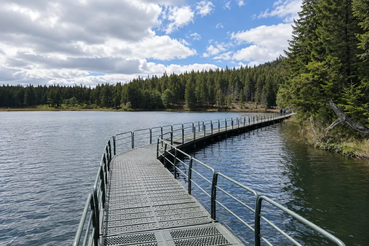
Nature reserve · Coyhaique, Aysén do General Carlos Ibáñez del Campo
Reserva Nacional Coyhaique
A CONAF reserve located just north of the city, with lenga and coigüe forests, ponds and trails with views over Coyhaique and the surrounding valleys. Created in 1948, it is one of the oldest protected areas in the region.
Illustrative images. The pictures in this guide are illustrations based on the real place, not photographs, and may differ from it.

Discover
About Reserva Nacional Coyhaique
The Reserva Nacional Coyhaique covers about 2,150 hectares on the slopes north of the city, a few kilometers from the urban edge. Created in 1948, it is one of the oldest protected units in Aysén and is administered by CONAF. The highest point is Cerro Cinchao, at 1,361 meters.
The native forest is formed mainly by lenga and coigüe, with ñirre in the wet, higher areas. After the large fires that hit the region in the mid-20th century, pines of non-native species were planted, and today the visitor passes from one type of forest to another along the trails. In the understory appear calafate, a shrub with small purple berries that is a symbol of Patagonia, and colihue, a bamboo-like species.
Public use areas include the Casa Bruja sector and Laguna Verde, with tables and space for picnics. Laguna Los Mallines is the largest in the reserve, and there is also Laguna Los Sapos. Trails such as Los Leñeros and Las Piedras climb to viewpoints from which you can see all of Coyhaique, the Río Simpson valley and the mountains surrounding the city.
Among the animals are the culpeo fox, the Patagonian skunk and, more rarely seen, the puma. In the trees it is common to hear the chucao, a small bird with a strong song, and with luck spot the Magellanic woodpecker, the male with a red head.
Before you go
Practical information
Cidade Turismo reviews its information regularly, but something may have changed. Check with the place before planning your trip.
How much time to set aside
Two to four hours for a trail to Laguna Verde and a viewpoint. Those who hike the longer trails can spend the day.
Best time
From November to March the trails are usually dry and the days are long. In autumn, in April and May, the lenga trees turn red and yellow. In winter there may be snow in the higher parts; check with CONAF whether access is open before you go.
How to get there
The entrance is a few kilometers from downtown Coyhaique, leaving on Ruta 7 toward the north and climbing on a dirt road up to the gate. You can go by car, taxi or, for those who enjoy walking, on foot from the city, with a long uphill climb.
Tip
Bring a windbreaker and an extra layer even in summer, because it’s windy at the top and it cools down quickly. Buy the entrance ticket at the gate and check the trail map with the park rangers. The CONAF office in Coyhaique has maps and information about the region's reserves.
Get your questions answered
Frequently asked questions about Reserva Nacional Coyhaique
How long does it take to get to Reserva Nacional Coyhaique?
By car, a few minutes from the center. The reserve starts about 3 km from the urban edge, to the north. If you go on foot, allow for an uphill walk of more than an hour to the entrance station.
Which trail to do in Reserva Nacional Coyhaique?
For a short visit, the route to Laguna Verde, which has a picnic area, is the most popular. For wide views of the town and the Río Simpson valley, the Los Leñeros and Las Piedras trails lead to lookouts. Ask for the map at the park entrance.
Is the reserve open in winter?
The reserve generally operates year-round, but snow and ice can limit vehicle access and some trails. Check with CONAF before you go.