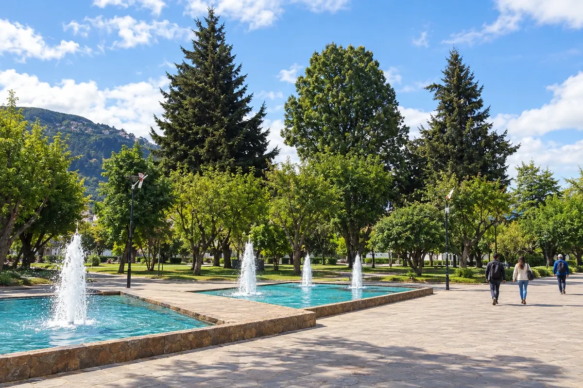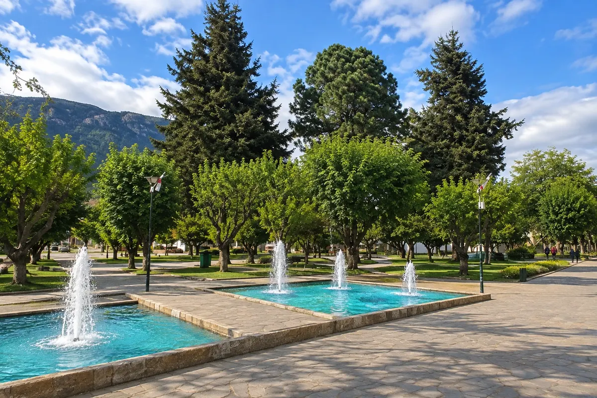
Historic square
Plaza de Armas de Coyhaique
Central plaza of Coyhaique, designed in the shape of a pentagon when the town was laid out. From it radiate the downtown streets, with shops, restaurants and the life of the capital of Aysén.
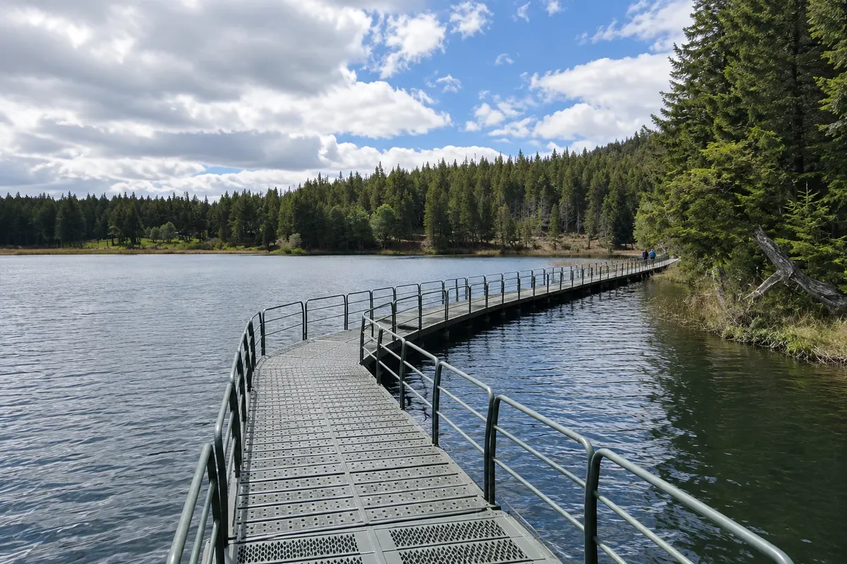
Nature reserve
Reserva Nacional Coyhaique
A CONAF reserve located just north of the city, with lenga and coigüe forests, ponds and trails with views over Coyhaique and the surrounding valleys. Created in 1948, it is one of the oldest protected areas in the region.
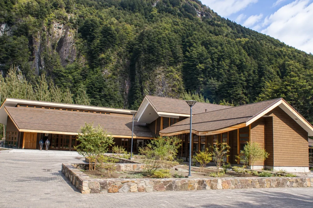
Nature reserve
Reserva Nacional Río Simpson
Narrow, green valley of the Río Simpson, on the road between Coyhaique and Puerto Aysén, with waterfalls such as the Velo de la Novia and the Cascada de la Virgen, humid forest and short riverside trails.
National park
Parque Nacional Cerro Castillo
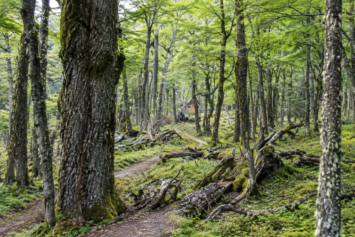
Park south of Coyhaique, cut through by the Carretera Austral, featuring Cerro Castillo at 2,318 meters, with rock towers that resemble a castle, glacial lagoons, mountain trails and a huemul population.


 Brazil
 Argentina
 Colombia
 Peru
Peru Uruguay
 Germany
 Belgium
 Spain
Spain France
 Greece
 the Netherlands
 Ireland
 Italy
Italy Portugal
 the United Kingdom
 Switzerland